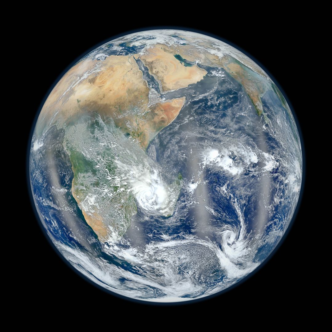
Composite Earth Image from Suomi NPP Satellite Captured on January 23, 2012 Image

This detailed image of Earth is a composite created by NASA scientists using data from the Suomi National Polar-orbiting Partnership (NPP) satellite on January 23, 2012. The Visible Infrared Imaging Radiometer Suite (VIIRS), aboard Suomi NPP, captured the impressive view of our planet, showing the continents, oceans, and clouds. It includes reflection phenomena known as 'glint'. Useful for educational materials, presentations, and environmental awareness campaigns.
downloads
Credit Photo
If you would like to credit the Photo, here are some ways you can do so
CC0 (Creative Commons Zero)
Free for personal and commercial use.


