- Home >
- Stock Photos >
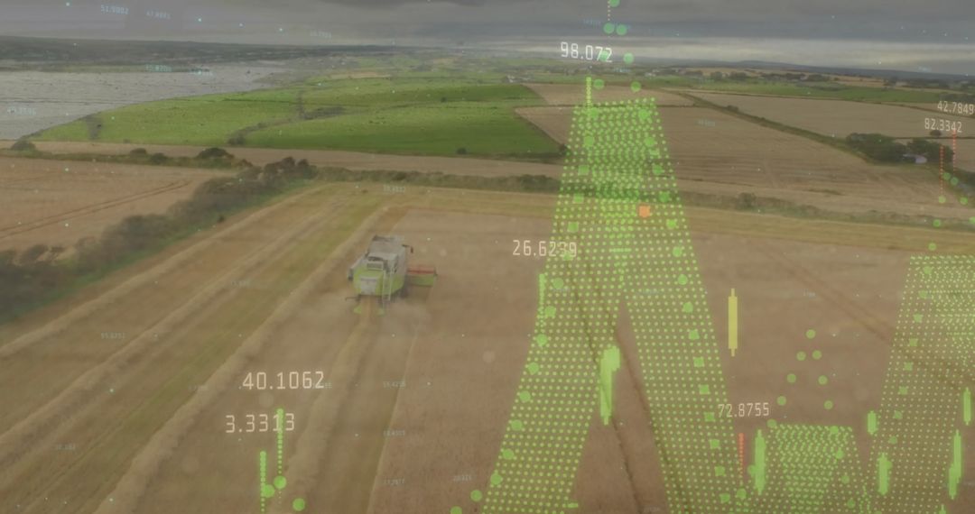
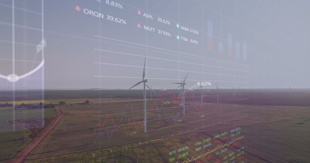
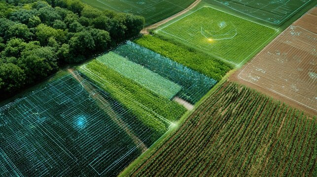
- Data Analytics Overlay on Rural Wheat Field Drone View
Data Analytics Overlay on Rural Wheat Field Drone View Image
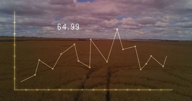
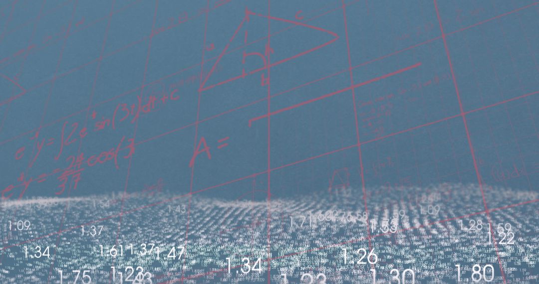
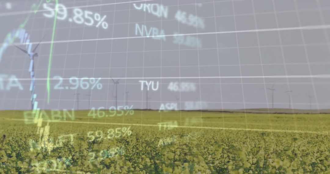
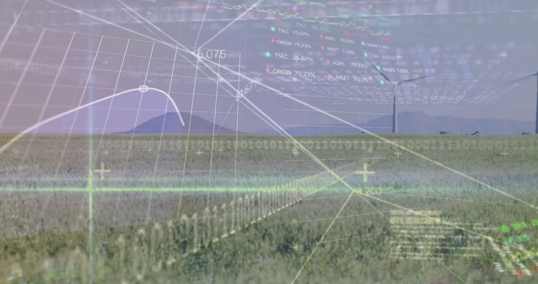
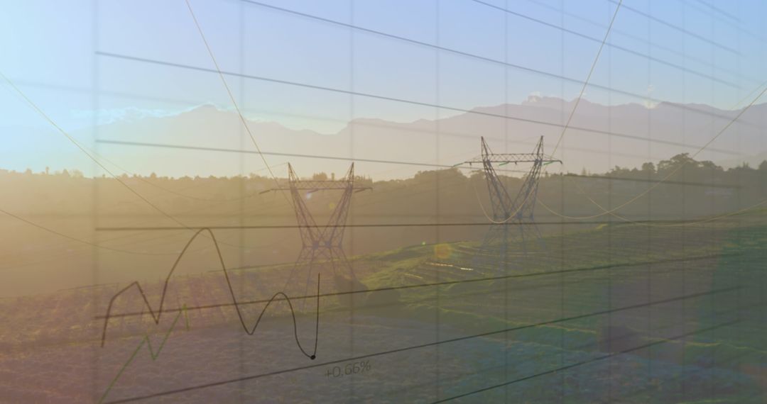
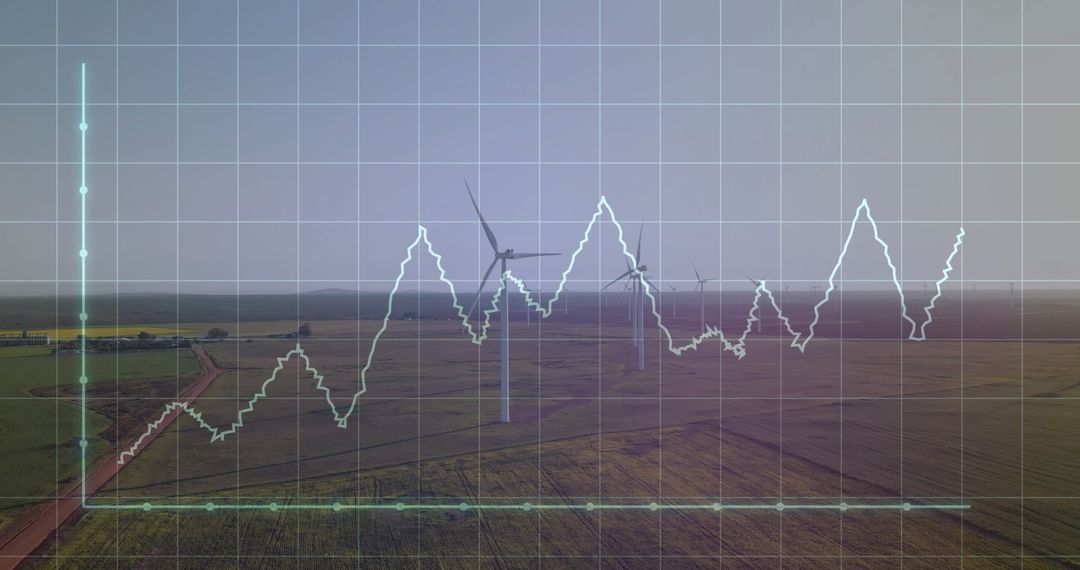
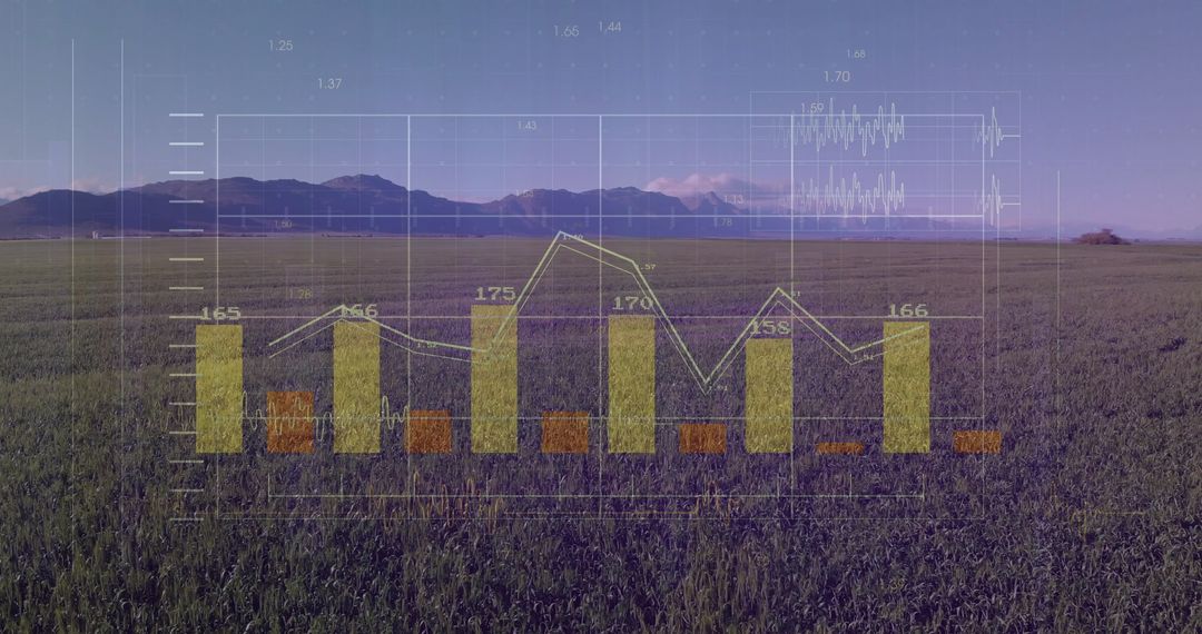
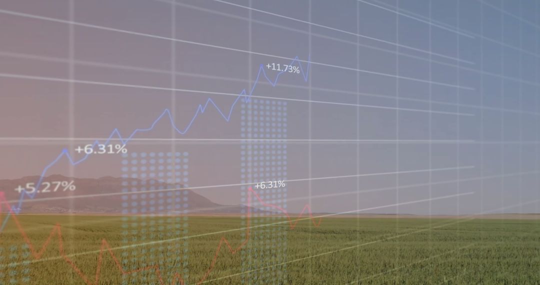
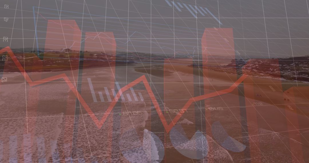
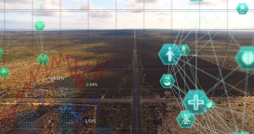
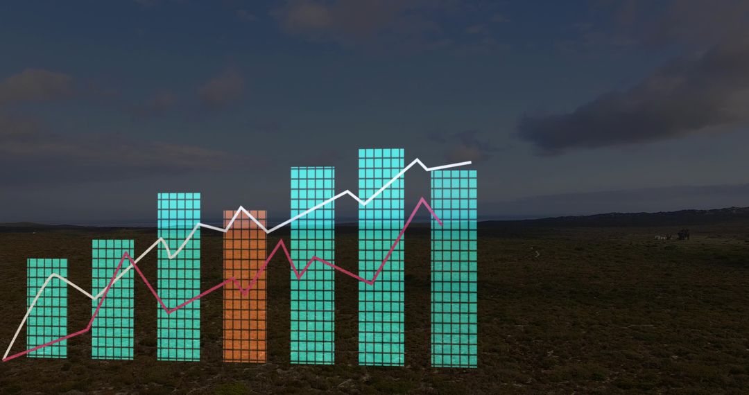
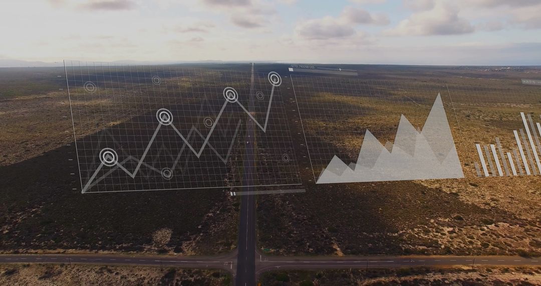
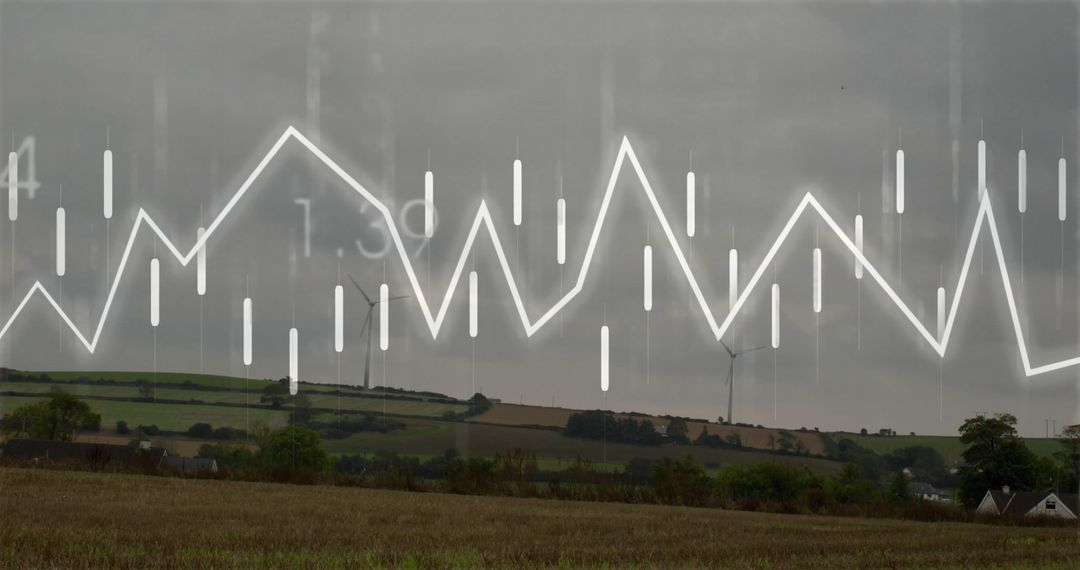
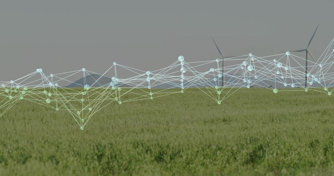
Organic patterns appear over vast rural wheat field, represented by graph floating at large identical site present framing statistics at digit carried overall range theme good overview helpful discovering trend-focused blend. Setting stages concerning advanced possibilities allied aim accompanied advancement lately years embracing combination rural settings ecosystem fit dialog maximize in business case scenarios.
Powered by 


0
downloads
downloads
Tags:
More
Credit Photo
If you would like to credit the Photo, here are some ways you can do so
Text Link
photo Link
<span class="text-link">
<span>
<a target="_blank" href=https://pikwizard.com/photo/data-analytics-overlay-on-rural-wheat-field-drone-view/754ab96bac6039f89c10c06caa3fc134/>PikWizard</a>
</span>
</span>
<span class="image-link">
<span
style="margin: 0 0 20px 0; display: inline-block; vertical-align: middle; width: 100%;"
>
<a
target="_blank"
href="https://pikwizard.com/photo/data-analytics-overlay-on-rural-wheat-field-drone-view/754ab96bac6039f89c10c06caa3fc134/"
style="text-decoration: none; font-size: 10px; margin: 0;"
>
<img src="https://pikwizard.com/pw/medium/754ab96bac6039f89c10c06caa3fc134.jpg" style="margin: 0; width: 100%;" alt="" />
<p style="font-size: 12px; margin: 0;">PikWizard</p>
</a>
</span>
</span>
Free (free of charge)
Free for personal and commercial use.
Author: Creative Art
Similar Free Stock Images