- Home >
- Stock Photos >
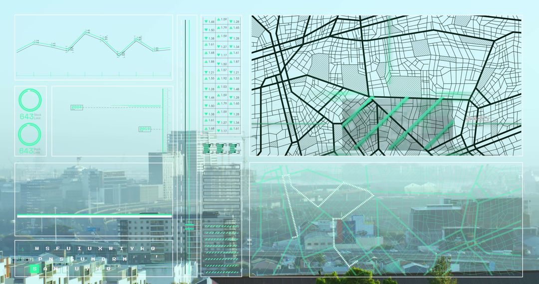
- Data Visualization Overlay on Snowy Urban Suburb Aerial View
Data Visualization Overlay on Snowy Urban Suburb Aerial View Image

This intriguing combination of a snowy suburban aerial landscape with overlayed translucent data graphs represents a fusion of nature and technology. The bar graphs, pie chart, and data grids hint at urban analysis or city planning efforts, making it ideal for use in presentations or articles related to big data, urban development, or winter climate assessments. The modern and adaptive style exemplifies how urban intelligence evolves in snowy environments.
Powered by  - Get 15% off with code: PIKWIZARD15


0
downloads
downloads
Tags:
More
Credit Photo
If you would like to credit the Photo, here are some ways you can do so
Text Link
photo Link
<span class="text-link">
<span>
<a target="_blank" href=https://pikwizard.com/photo/data-visualization-overlay-on-snowy-urban-suburb-aerial-view/8f2b7a5abe95933a28f65365dedcc237/>PikWizard</a>
</span>
</span>
<span class="image-link">
<span
style="margin: 0 0 20px 0; display: inline-block; vertical-align: middle; width: 100%;"
>
<a
target="_blank"
href="https://pikwizard.com/photo/data-visualization-overlay-on-snowy-urban-suburb-aerial-view/8f2b7a5abe95933a28f65365dedcc237/"
style="text-decoration: none; font-size: 10px; margin: 0;"
>
<img src="https://pikwizard.com/pw/medium/8f2b7a5abe95933a28f65365dedcc237.jpg" style="margin: 0; width: 100%;" alt="" />
<p style="font-size: 12px; margin: 0;">PikWizard</p>
</a>
</span>
</span>
Free (free of charge)
Free for personal and commercial use.
Author: People Creations
Similar Free Stock Images