- Home >
- Stock Photos >
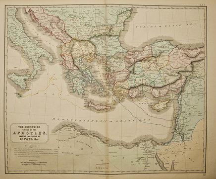
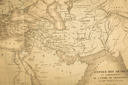
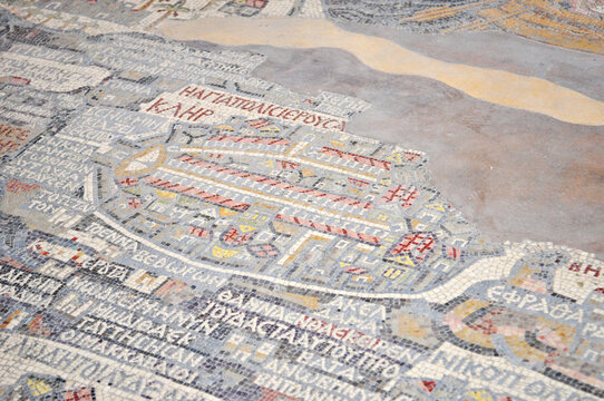
- Detailed Retro Map of Middle Eastern Countries
Detailed Retro Map of Middle Eastern Countries Image
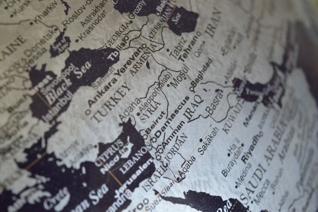
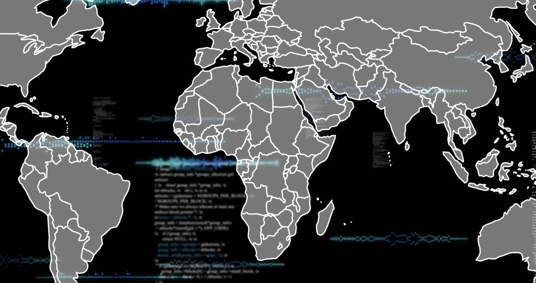
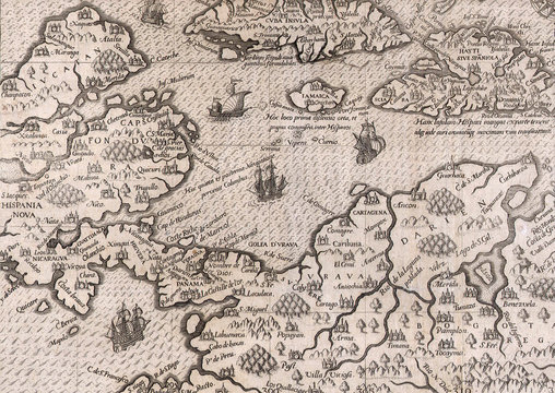
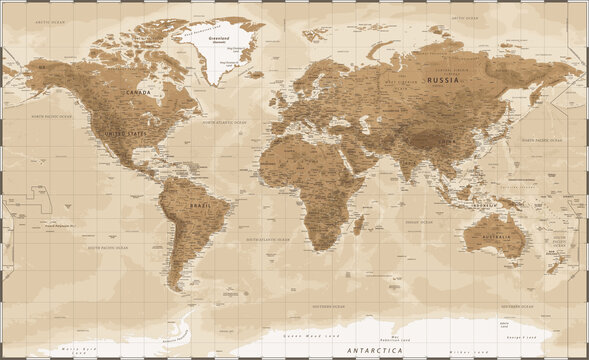
This image shows a detailed retro map highlighting Middle Eastern countries like Turkey, Iran, and Iraq. The monochromatic map with clear lines and names offers a vintage aesthetic, making it ideal for educational materials, travel planning guides, websites, and historical references.
Powered by 


Credit Photo
If you would like to credit the Photo, here are some ways you can do so
Text Link
photo Link
<span class="text-link">
<span>
<a target="_blank" href=https://pikwizard.com/photo/detailed-retro-map-of-middle-eastern-countries/25675e5accd1c0be3d1c581f3232c3ca/>PikWizard</a>
</span>
</span>
<span class="image-link">
<span
style="margin: 0 0 20px 0; display: inline-block; vertical-align: middle; width: 100%;"
>
<a
target="_blank"
href="https://pikwizard.com/photo/detailed-retro-map-of-middle-eastern-countries/25675e5accd1c0be3d1c581f3232c3ca/"
style="text-decoration: none; font-size: 10px; margin: 0;"
>
<img src="https://pikwizard.com/pw/medium/25675e5accd1c0be3d1c581f3232c3ca.jpg" style="margin: 0; width: 100%;" alt="" />
<p style="font-size: 12px; margin: 0;">PikWizard</p>
</a>
</span>
</span>
CC0 (Creative Commons Zero)
Free for personal and commercial use.
Similar Free Stock Images
Premium


Premium


Premium


Premium


Premium


Premium


Premium


Premium


Premium


Premium


Premium


Premium


Premium


Premium


Premium


Premium


Premium


Premium


Premium


Premium


Premium


Premium


Premium


Premium