
- Home >
- Stock Photos >
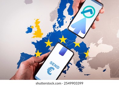
- Digital Connectivity and Innovation in European Geopolitical Landscape
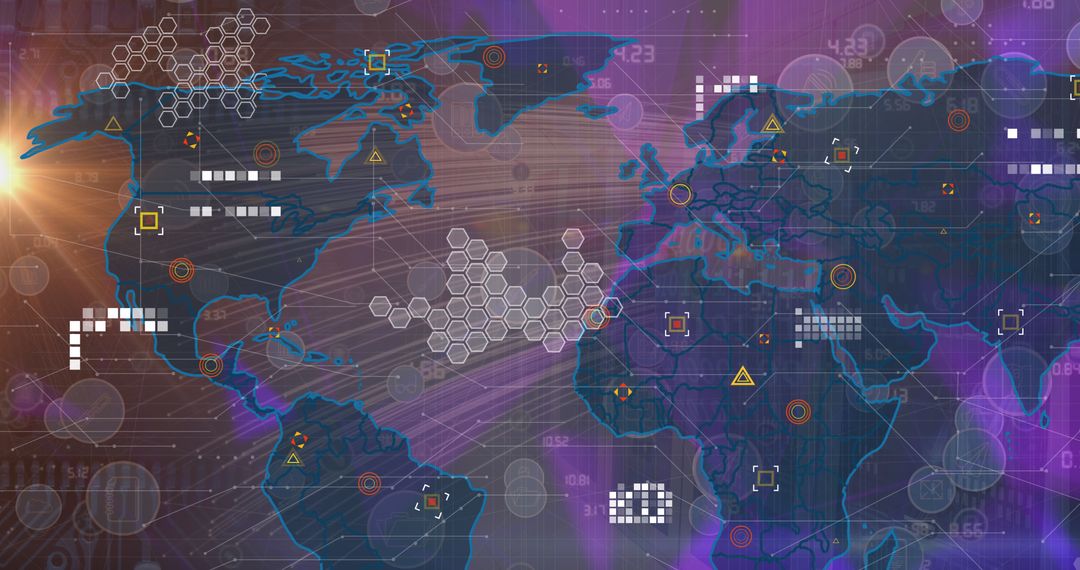
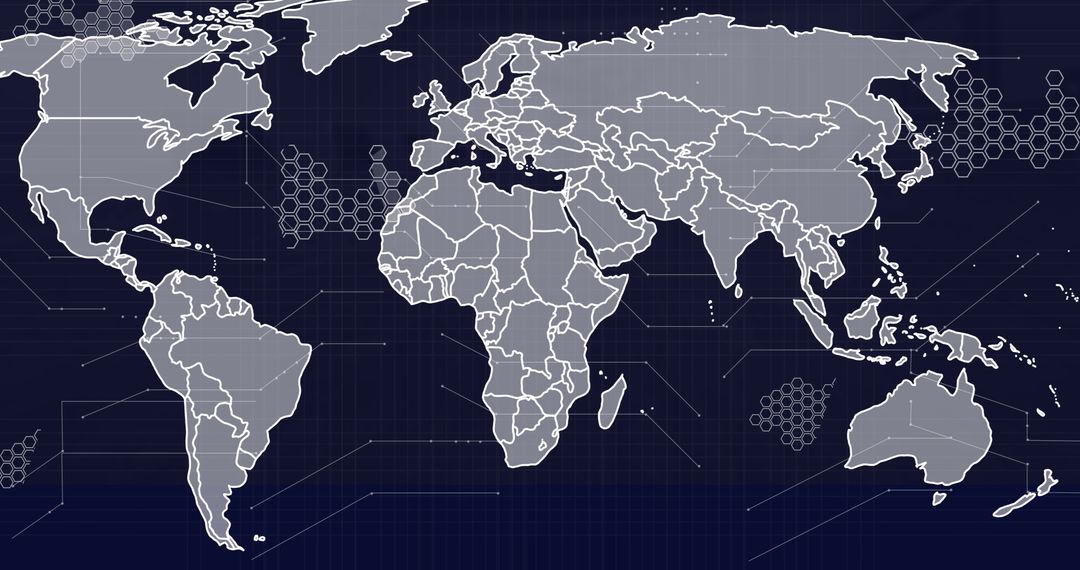
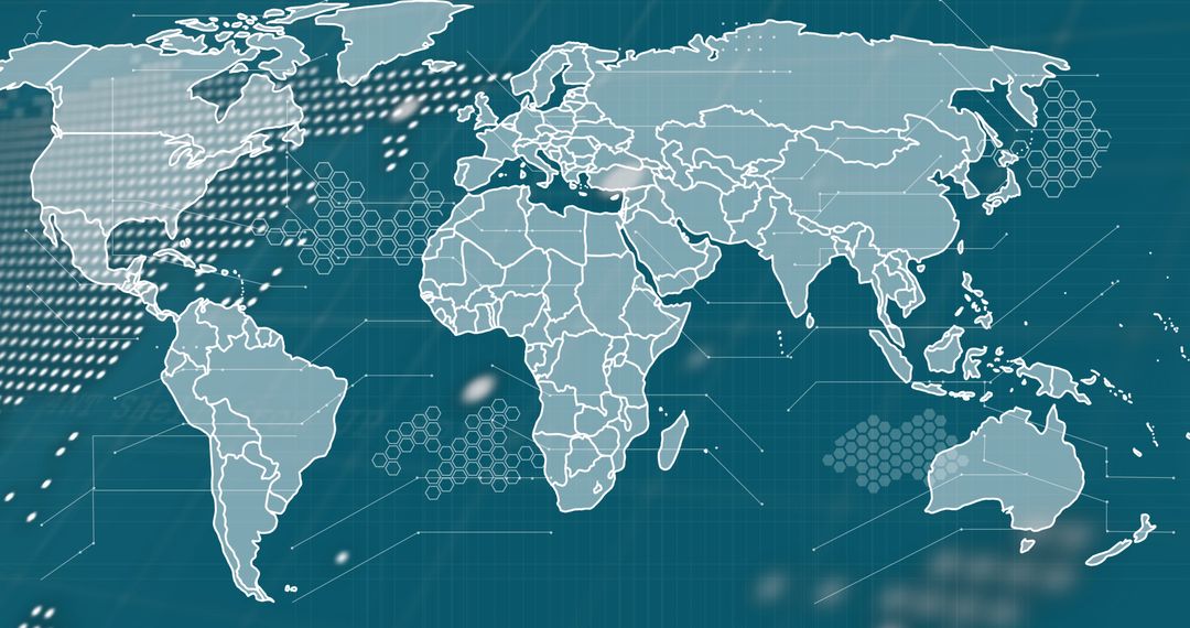
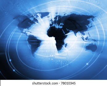
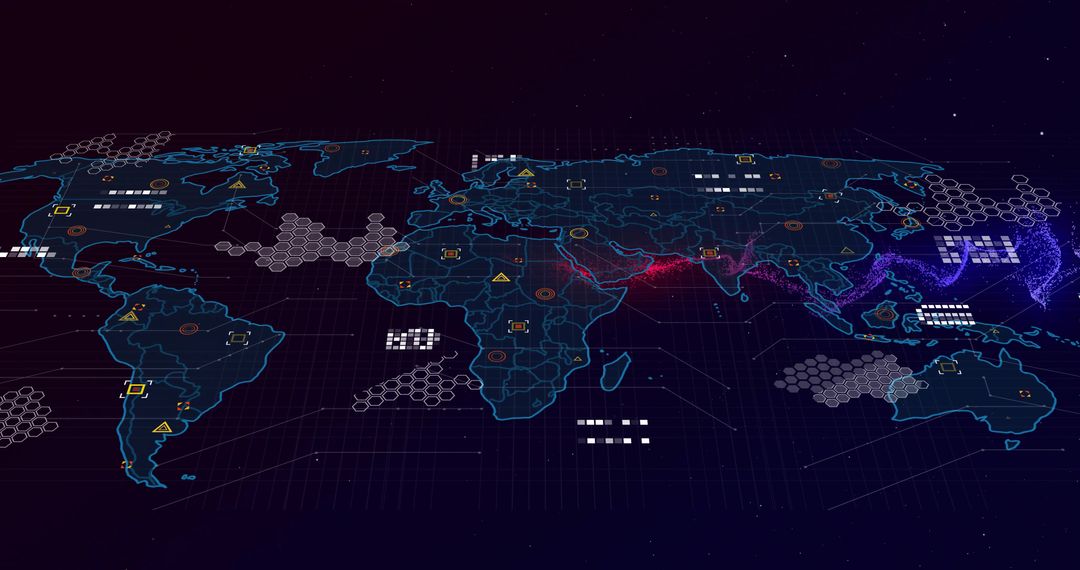
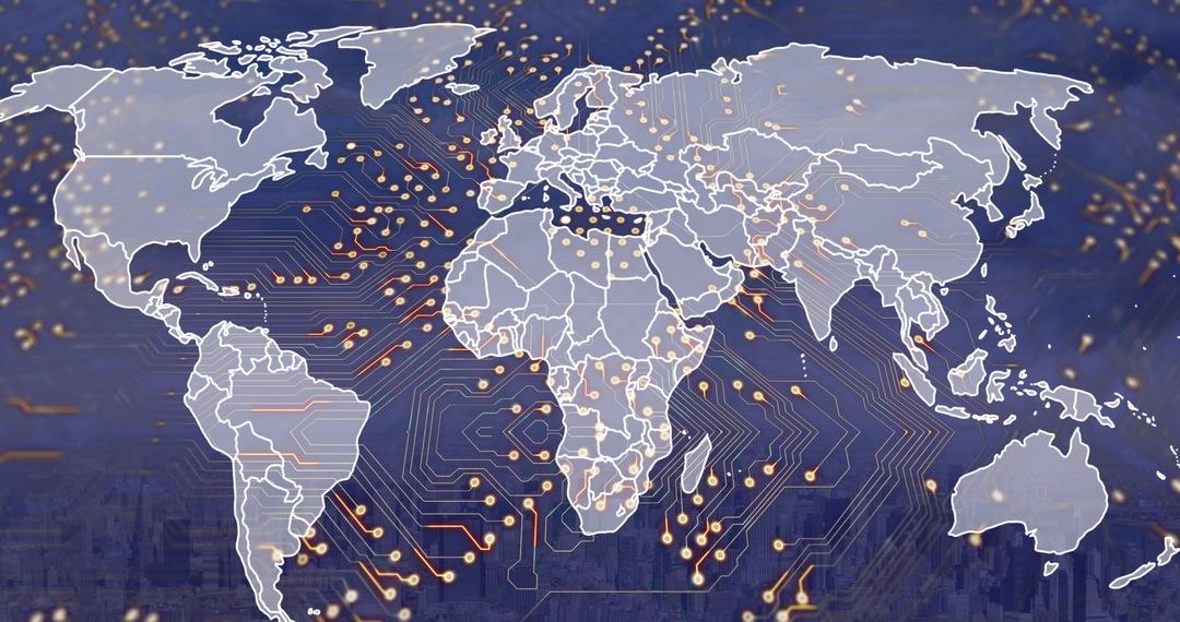
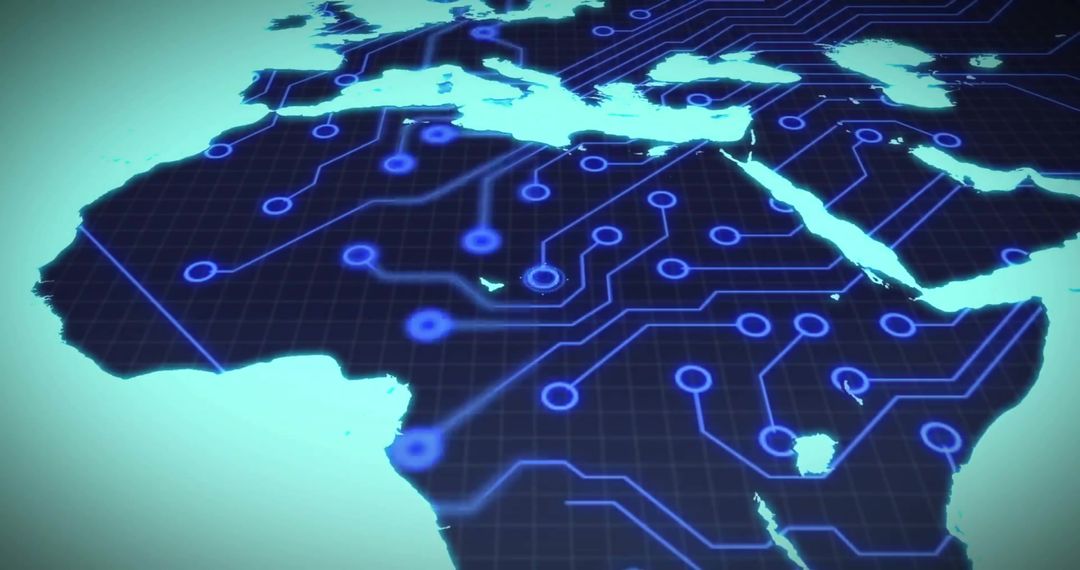
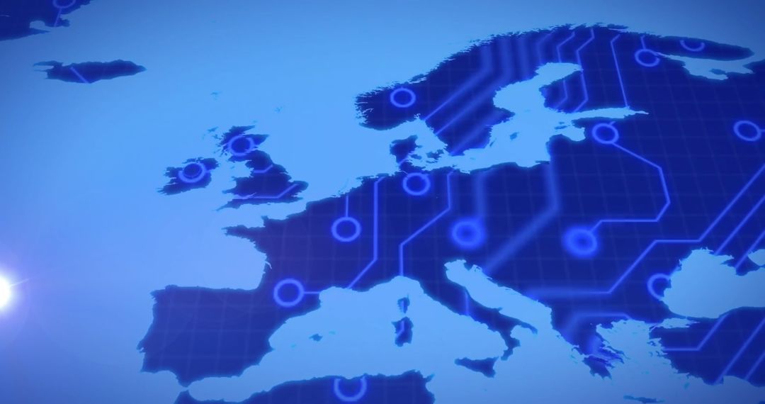
Digital Connectivity and Innovation in European Geopolitical Landscape Image
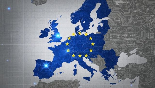
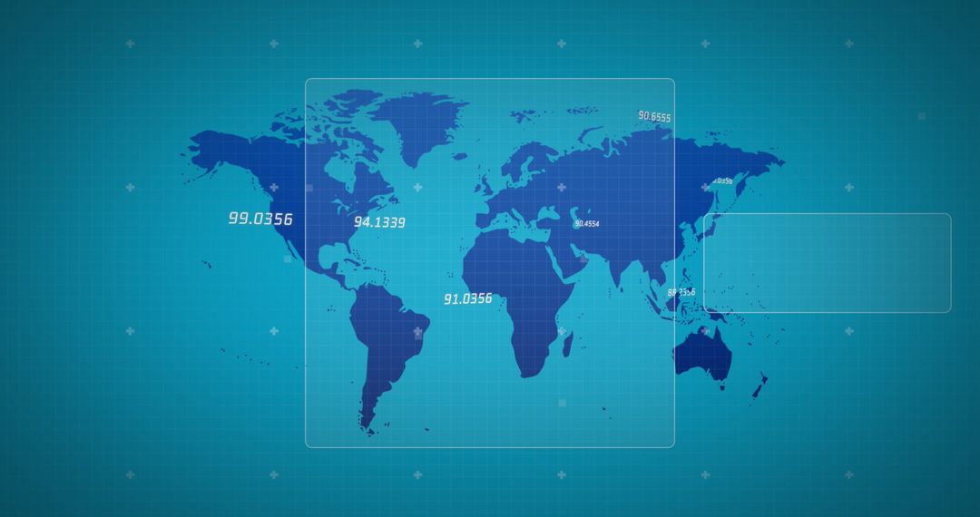
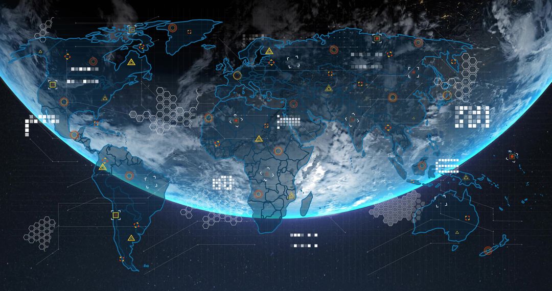
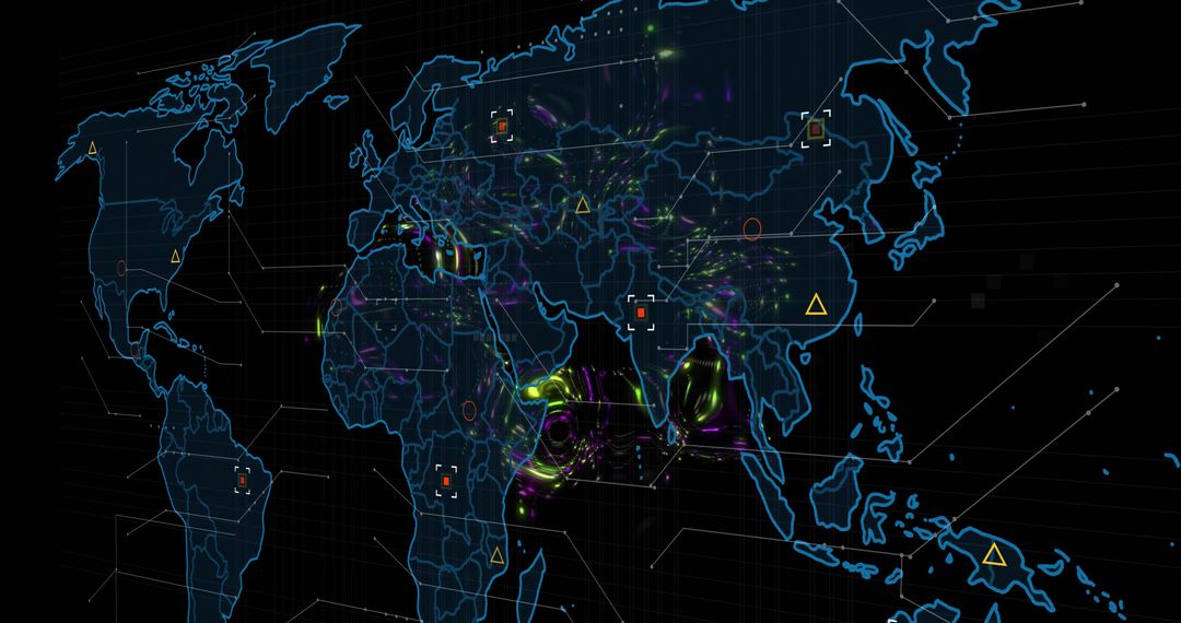
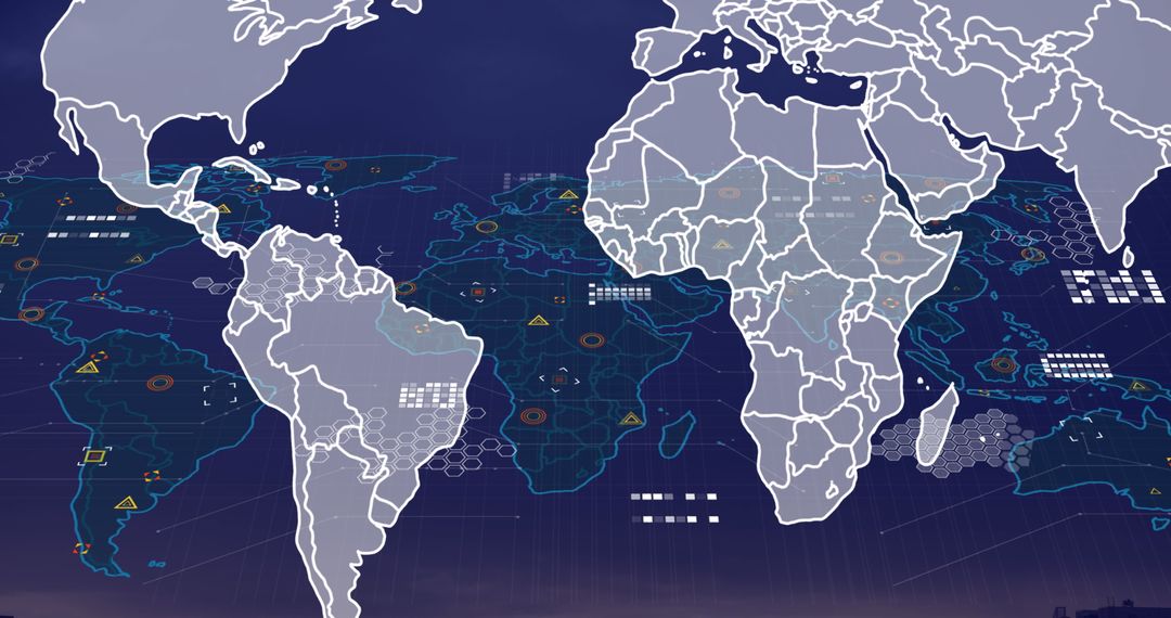
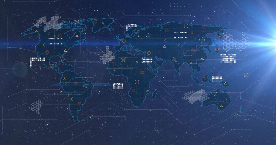
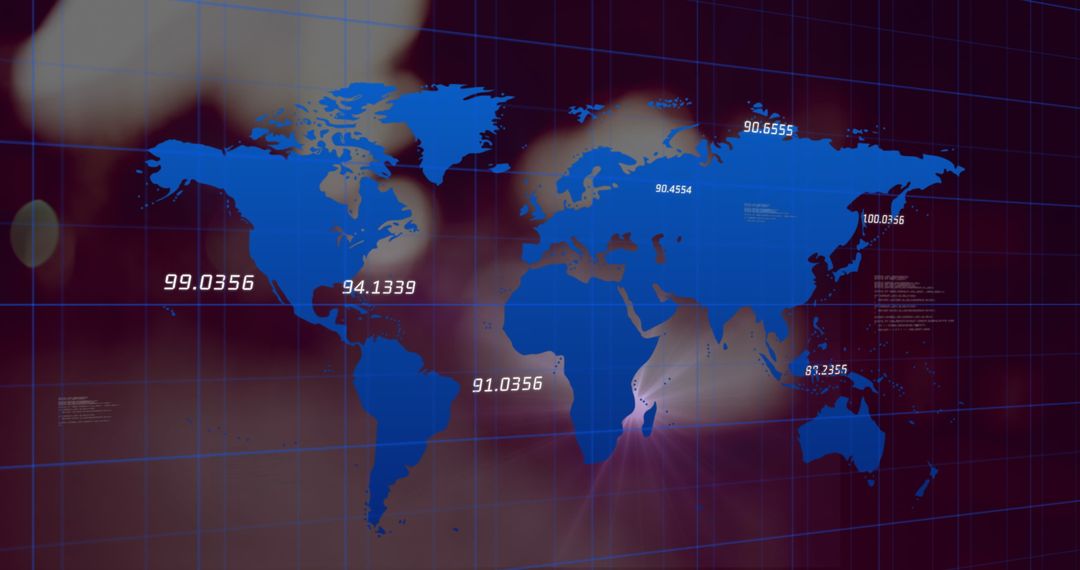
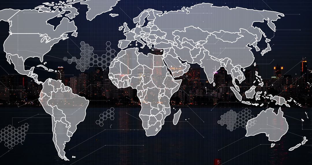
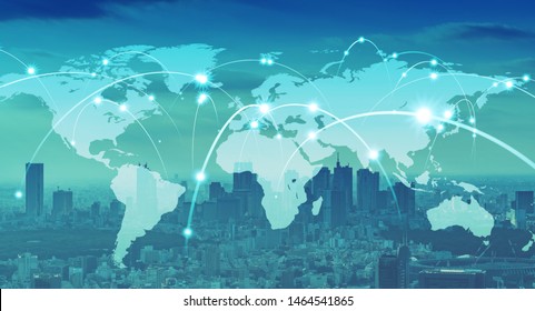
AI Generated Image. Visualizes Europe's integration into digital networks with a prominent map and circuit board pattern, suggesting advancements in technology and geopolitics within digital boundaries. Perfect for illustrating topics about Europe's digital innovation, geopolitical climate, or technological networking in publications, presentations, or tech forums exploring future and connectivity narratives.
Powered by  - Get 15% off with code: PIKWIZARD15


0
downloads
downloads
Tags:
More
Credit Photo
If you would like to credit the Photo, here are some ways you can do so
Text Link
photo Link
<span class="text-link">
<span>
<a target="_blank" href=https://pikwizard.com/photo/digital-connectivity-and-innovation-in-european-geopolitical-landscape/299cdfb0a64e59706a606f81ea6ac1a8/>PikWizard</a>
</span>
</span>
<span class="image-link">
<span
style="margin: 0 0 20px 0; display: inline-block; vertical-align: middle; width: 100%;"
>
<a
target="_blank"
href="https://pikwizard.com/photo/digital-connectivity-and-innovation-in-european-geopolitical-landscape/299cdfb0a64e59706a606f81ea6ac1a8/"
style="text-decoration: none; font-size: 10px; margin: 0;"
>
<img src="https://pikwizard.com/pw/medium/299cdfb0a64e59706a606f81ea6ac1a8.jpg" style="margin: 0; width: 100%;" alt="" />
<p style="font-size: 12px; margin: 0;">PikWizard</p>
</a>
</span>
</span>
Free (free of charge)
Free for personal and commercial use.
Author: AI Creator
Similar Free Stock Images

Premium


Premium


Premium


Premium


Premium


Premium


Premium

Premium


Premium

Premium


Premium

Premium


Premium


Premium


Premium


Premium


Premium


Premium

Premium


Premium


Premium


Premium


Premium


Premium

