- Home >
- Stock Photos >
- Digital Global Map Interface with Data Nodes and Analytical Visualization
Digital Global Map Interface with Data Nodes and Analytical Visualization Image

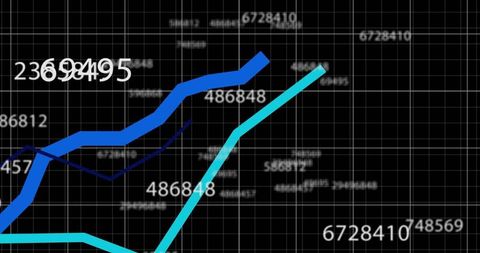
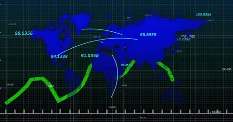
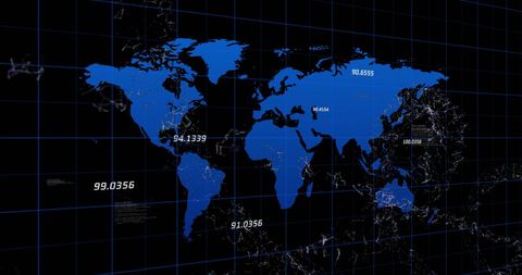
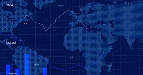
This detailed representation of a world map on a navy grid highlights data nodes and numerical information labels, where curved lines convey global connections. Ideal for illustrating concepts related to geography, technology, business analytics, digital interfaces, or educational materials focusing on information technology and data science.

downloads
Tags:
More
Credit Photo
If you would like to credit the Photo, here are some ways you can do so
Text Link
photo Link
<span class="text-link">
<span>
<a target="_blank" href=https://pikwizard.com/photo/digital-global-map-interface-with-data-nodes-and-analytical-visualization/40b73f3ff5418ddf5507258679cede33/>PikWizard</a>
</span>
</span>
<span class="image-link">
<span
style="margin: 0 0 20px 0; display: inline-block; vertical-align: middle; width: 100%;"
>
<a
target="_blank"
href="https://pikwizard.com/photo/digital-global-map-interface-with-data-nodes-and-analytical-visualization/40b73f3ff5418ddf5507258679cede33/"
style="text-decoration: none; font-size: 10px; margin: 0;"
>
<img src="https://pikwizard.com/pw/medium/40b73f3ff5418ddf5507258679cede33.jpg" style="margin: 0; width: 100%;" alt="" />
<p style="font-size: 12px; margin: 0;">PikWizard</p>
</a>
</span>
</span>
Free (free of charge)
Free for personal and commercial use.
Author: People Creations