- Home >
- Stock Photos >
- Digital Map Projection on Skyline Enhancing Urban Connectivity
Digital Map Projection on Skyline Enhancing Urban Connectivity Image

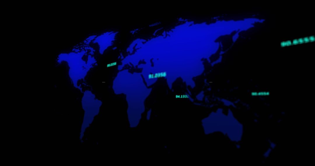
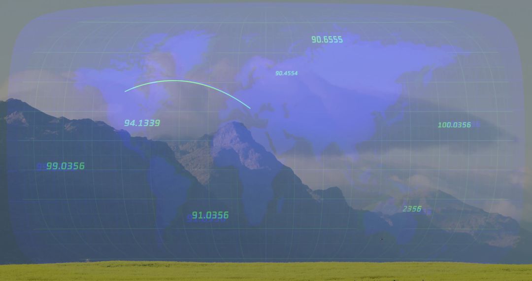
This scene displays a digitally projected map grid over city rooftops at night, reflecting themes of technology and urban connectivity. Glowing data markers and arcs emphasize the flow of information and digital infrastructure simplicity. This visual can be used for projects concerning smart city planning, technological advancement portrayal, and urban innovation concepts, as well as educational media discussing data visualization and infrastructure.
Powered by  - Get 15% off with code: PIKWIZARD15


0
downloads
downloads
Tags:
More
Credit Photo
If you would like to credit the Photo, here are some ways you can do so
Text Link
photo Link
<span class="text-link">
<span>
<a target="_blank" href=https://pikwizard.com/photo/digital-map-projection-on-skyline-enhancing-urban-connectivity/fbd97876f768e6c4d6465f953b1bf325/>PikWizard</a>
</span>
</span>
<span class="image-link">
<span
style="margin: 0 0 20px 0; display: inline-block; vertical-align: middle; width: 100%;"
>
<a
target="_blank"
href="https://pikwizard.com/photo/digital-map-projection-on-skyline-enhancing-urban-connectivity/fbd97876f768e6c4d6465f953b1bf325/"
style="text-decoration: none; font-size: 10px; margin: 0;"
>
<img src="https://pikwizard.com/pw/medium/fbd97876f768e6c4d6465f953b1bf325.jpg" style="margin: 0; width: 100%;" alt="" />
<p style="font-size: 12px; margin: 0;">PikWizard</p>
</a>
</span>
</span>
Free (free of charge)
Free for personal and commercial use.
Author: Awesome Content
Similar Free Stock Images