
- Home >
- Stock Photos >
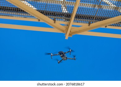
- Drone Flying Over African Map and Transparent Interfaces
Drone Flying Over African Map and Transparent Interfaces Image

Dynamic representation of a drone flying over Africa on a transparent digital interface can serve in technology, innovation, or delivery services concepts. Useful for conveying themes of advanced innovation, future mapping technologies, transportation, or geographic information systems. May be suited to educational presentations, articles on drone technology, or futuristic technology advancements.
Powered by  - Get 15% off with code: PIKWIZARD15


2
downloads
downloads
Tags:
More
Credit Photo
If you would like to credit the Photo, here are some ways you can do so
Text Link
photo Link
<span class="text-link">
<span>
<a target="_blank" href=https://pikwizard.com/photo/drone-flying-over-african-map-and-transparent-interfaces/ab36edcde3e42660d0d4183626849b51/>PikWizard</a>
</span>
</span>
<span class="image-link">
<span
style="margin: 0 0 20px 0; display: inline-block; vertical-align: middle; width: 100%;"
>
<a
target="_blank"
href="https://pikwizard.com/photo/drone-flying-over-african-map-and-transparent-interfaces/ab36edcde3e42660d0d4183626849b51/"
style="text-decoration: none; font-size: 10px; margin: 0;"
>
<img src="https://pikwizard.com/pw/medium/ab36edcde3e42660d0d4183626849b51.jpg" style="margin: 0; width: 100%;" alt="" />
<p style="font-size: 12px; margin: 0;">PikWizard</p>
</a>
</span>
</span>
Free (free of charge)
Free for personal and commercial use.
Author: Creative Art