- Home >
- Stock Photos >
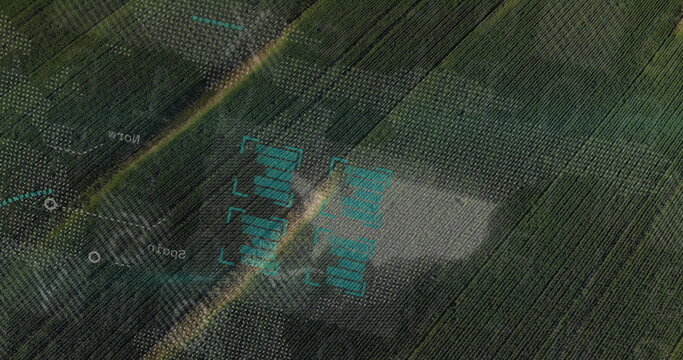
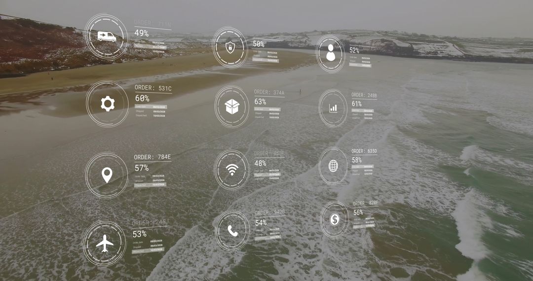
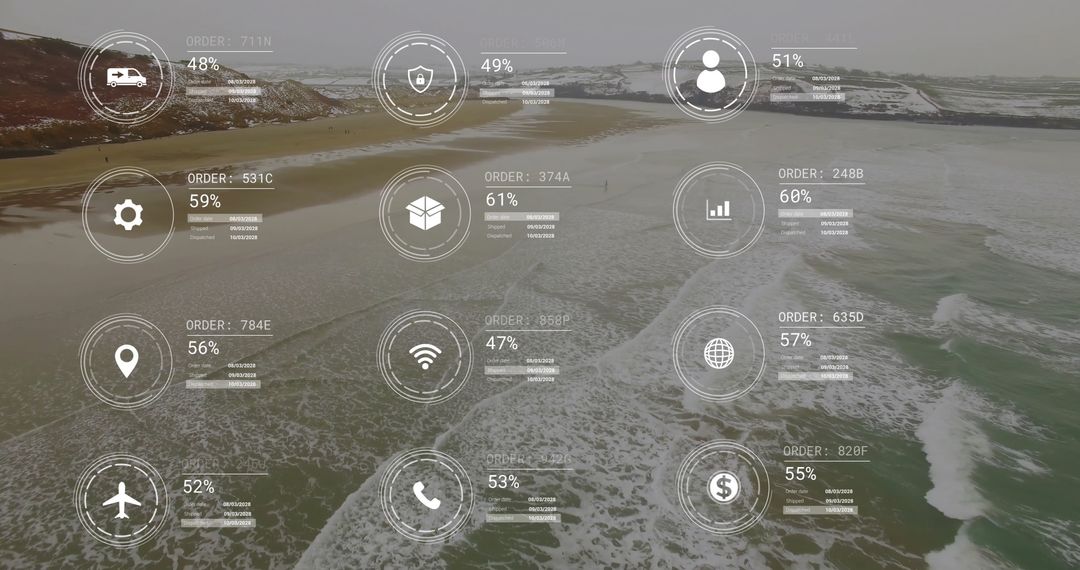
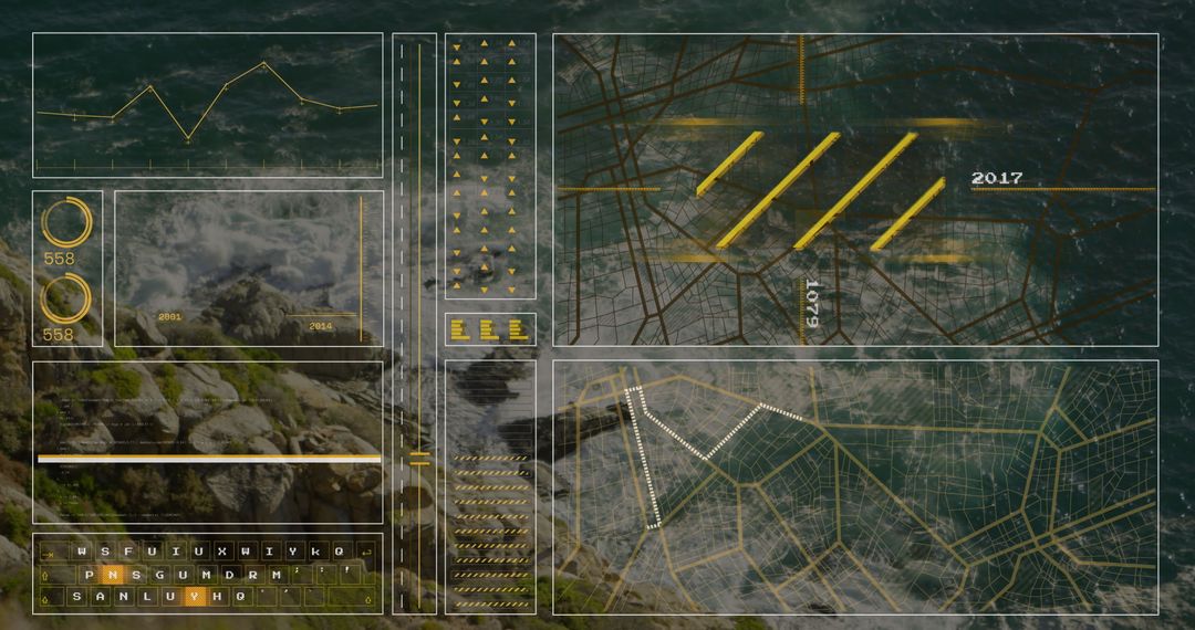
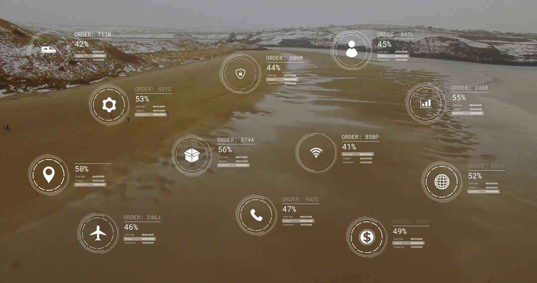
- Drone HUD Overlay Showing Coastal Aerial View with Telemetry Charts and Wave Analytics
Drone HUD Overlay Showing Coastal Aerial View with Telemetry Charts and Wave Analytics Image

Showing aerial coastal view over rocky cliffs and surf overlaying translucent HUD panels, telemetry digits, charts and wave analytics. Combining natural textures with digital data layers to convey coastal monitoring, maritime analytics and remote sensing concepts. Suiting website headers, backgrounds for technology presentations, marketing for marine software, editorial features on oceanography, or UI mockups for telemetry dashboards. Working well for commercials, corporate reports, environmental assessments, broadcast graphics, and social media campaigns. High-resolution composition allowing cropping for banners, hero sections, print materials and video overlays.
Powered by 


0
downloads
downloads
Tags:
More
Credit Photo
If you would like to credit the Photo, here are some ways you can do so
Text Link
photo Link
<span class="text-link">
<span>
<a target="_blank" href=https://pikwizard.com/photo/drone-hud-overlay-showing-coastal-aerial-view-with-telemetry-charts-and-wave-analytics/a67e601c288baf46c1436ee51a6c79e9/>PikWizard</a>
</span>
</span>
<span class="image-link">
<span
style="margin: 0 0 20px 0; display: inline-block; vertical-align: middle; width: 100%;"
>
<a
target="_blank"
href="https://pikwizard.com/photo/drone-hud-overlay-showing-coastal-aerial-view-with-telemetry-charts-and-wave-analytics/a67e601c288baf46c1436ee51a6c79e9/"
style="text-decoration: none; font-size: 10px; margin: 0;"
>
<img src="https://pikwizard.com/pw/medium/a67e601c288baf46c1436ee51a6c79e9.jpg" style="margin: 0; width: 100%;" alt="" />
<p style="font-size: 12px; margin: 0;">PikWizard</p>
</a>
</span>
</span>
Free (free of charge)
Free for personal and commercial use.
Author: Creative Art
Similar Free Stock Images

Premium