- Home >
- Stock Photos >
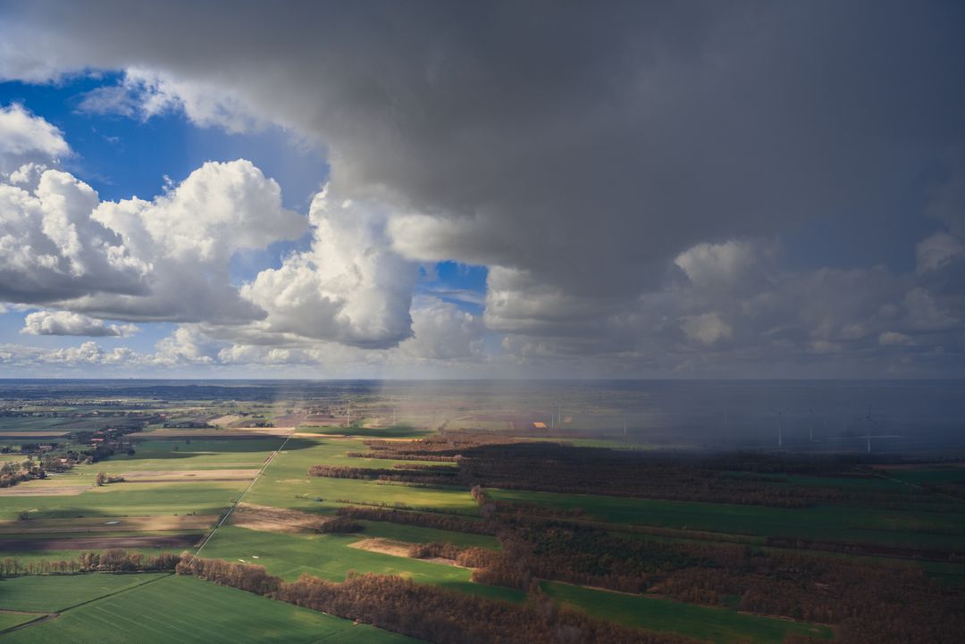
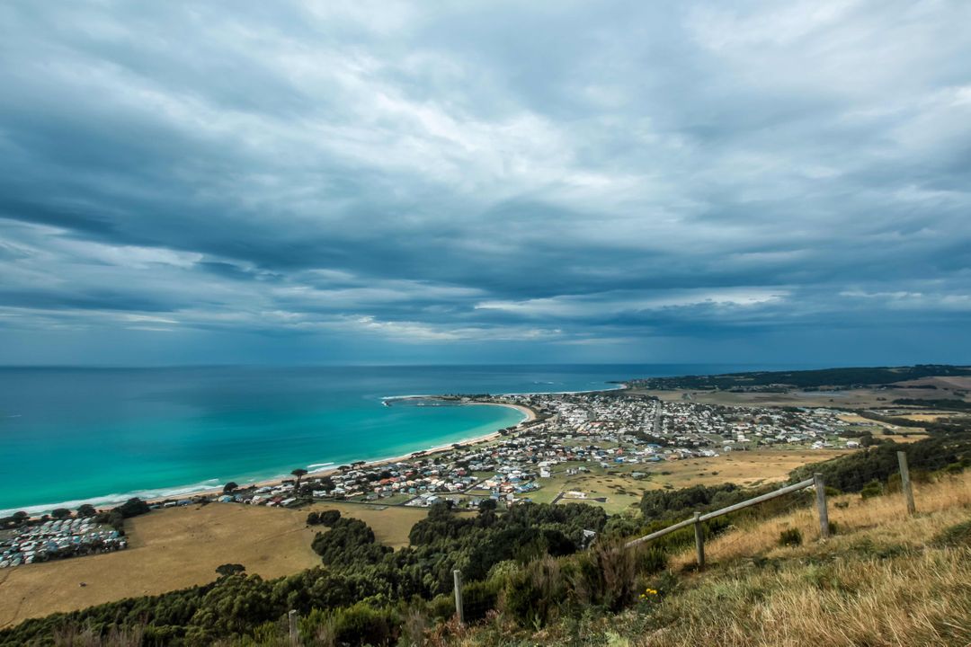
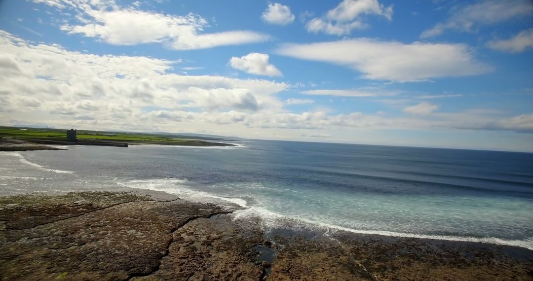
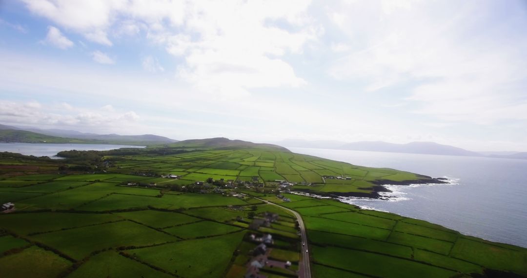
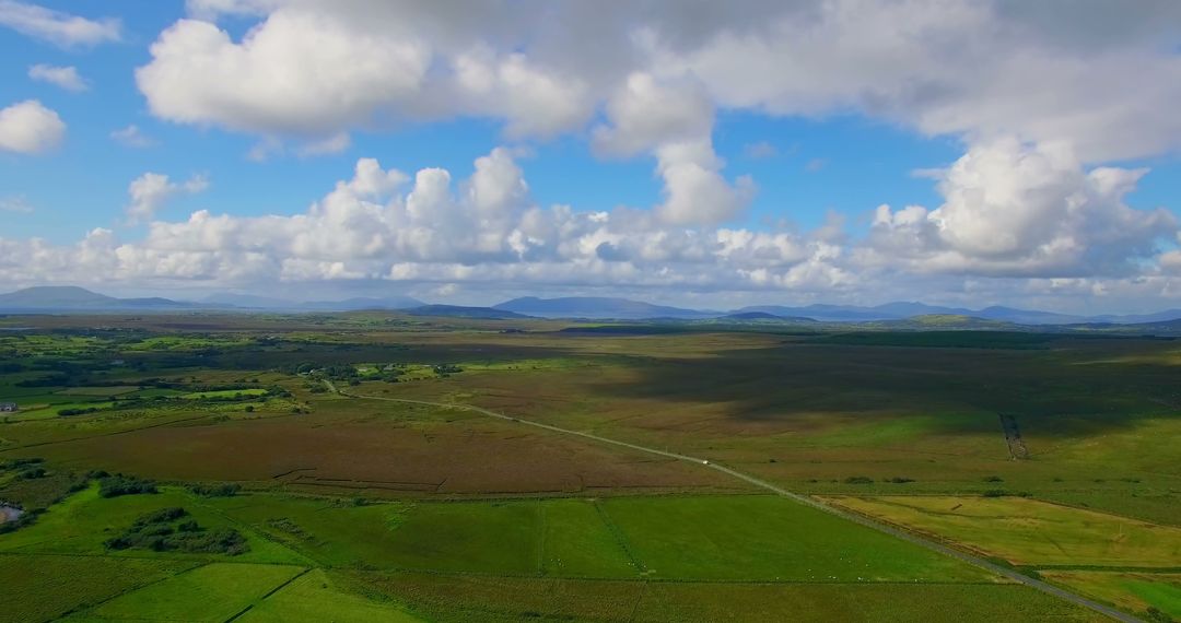
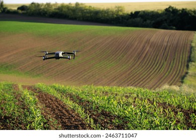
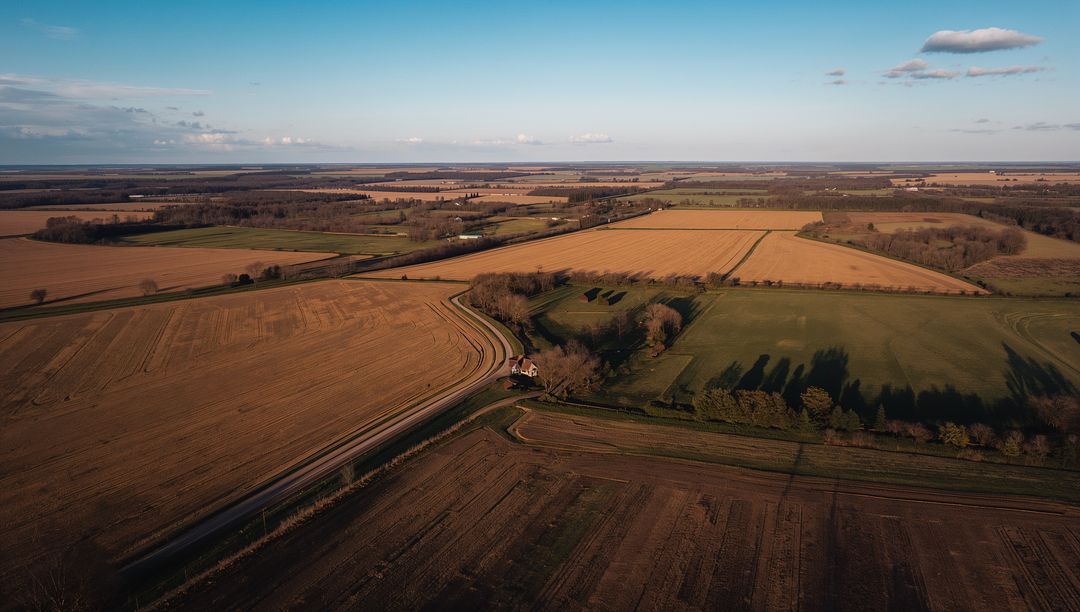
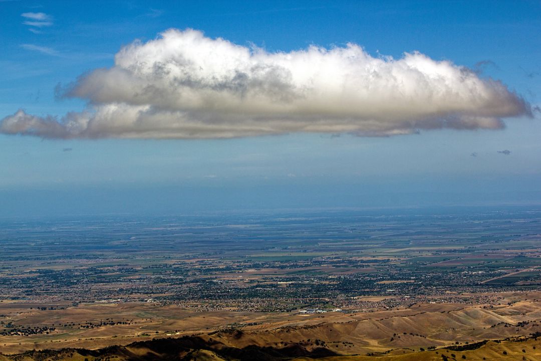
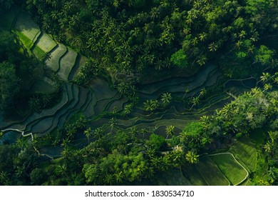
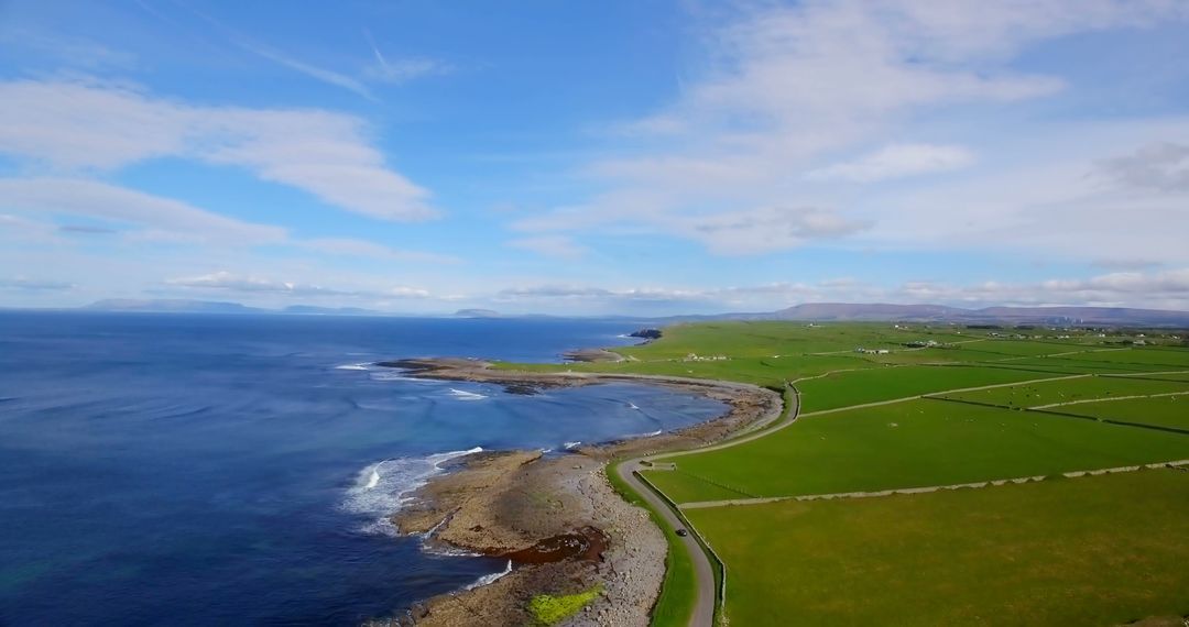
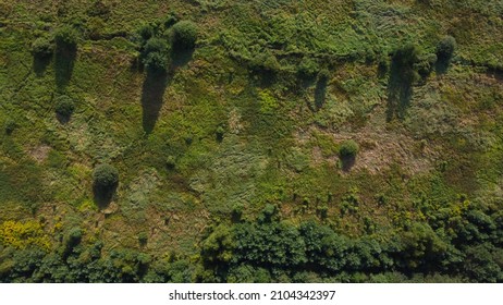
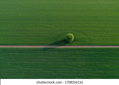
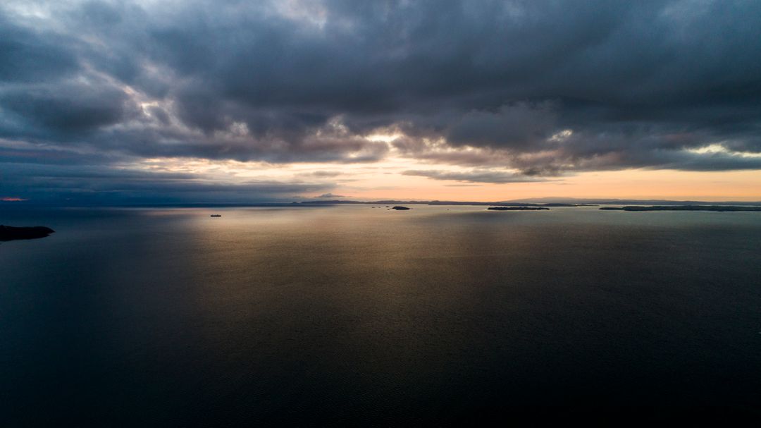
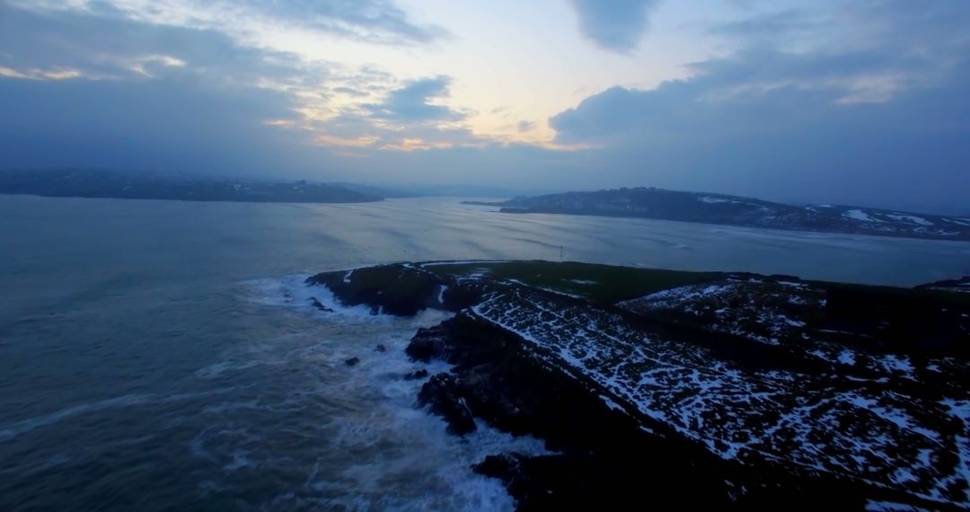
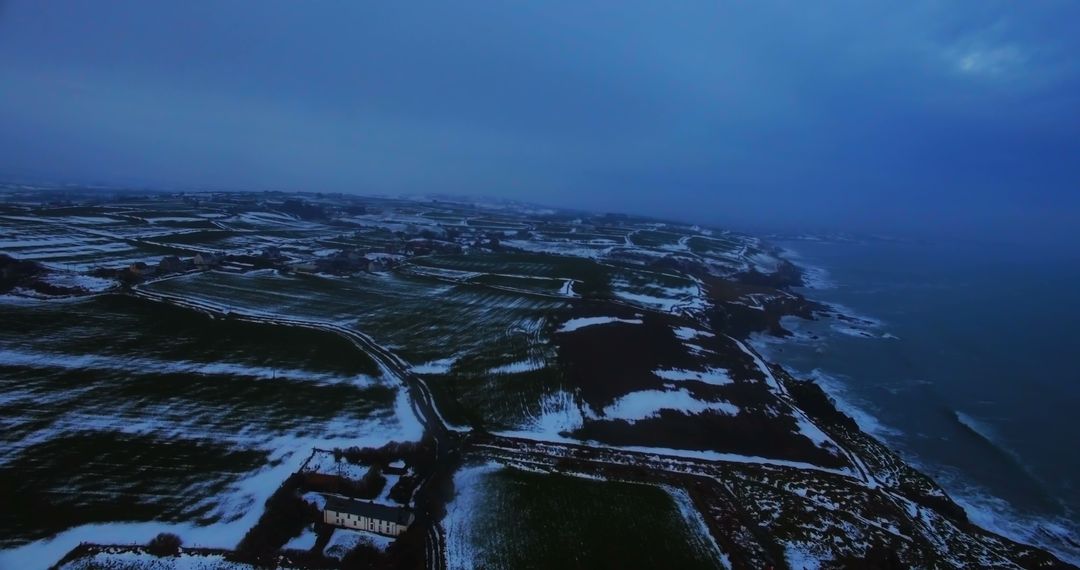
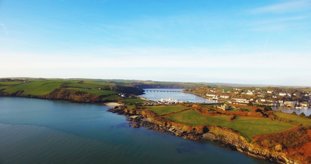
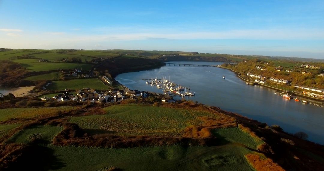
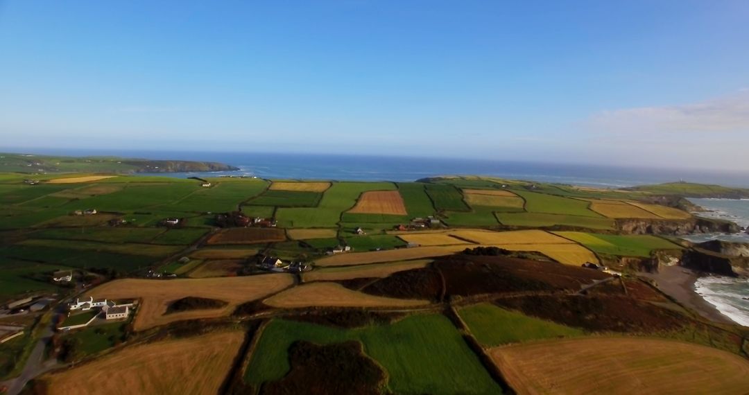
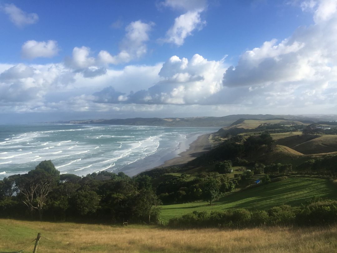
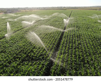
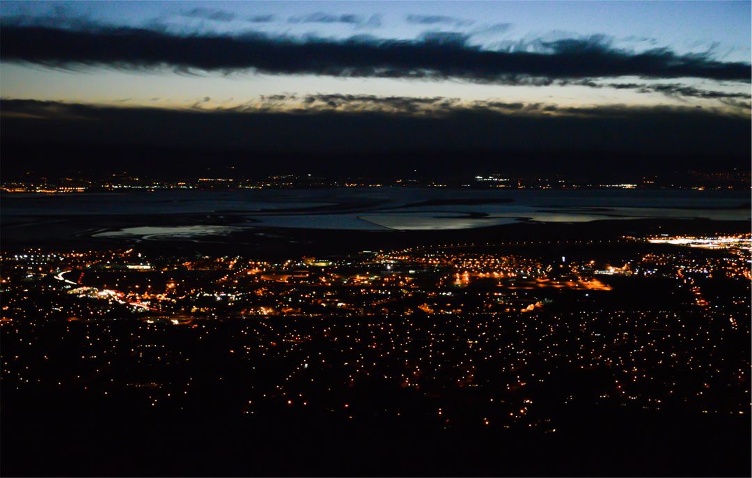
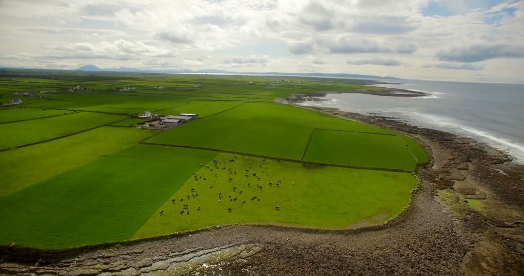
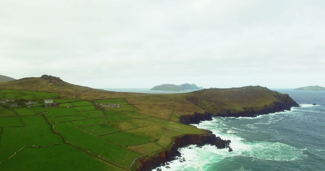
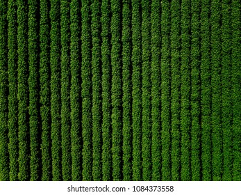
- Drone surveying coastal farmland capturing patchwork fields and hedgerows with telemetry HUD overlay
Drone surveying coastal farmland capturing patchwork fields and hedgerows with telemetry HUD overlay Image
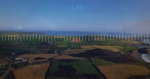
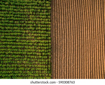
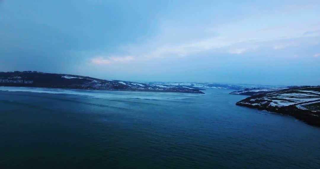
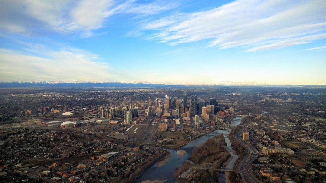
Showing aerial view of coastal farmland with patchwork fields, hedgerows, narrow lanes, and scattered farmhouses. Featuring telemetry HUD overlay suggesting drone data capture and mapping. Serving use in illustrating precision agriculture, land surveying, environmental monitoring, coastal management, and remote sensing workflows. Working well for editorial articles, agritech presentations, GIS reports, website hero banners, marketing for surveying and mapping companies, and educational materials. Offering wide horizontal composition with open sky space for text overlay and title treatment. Presenting color palette of greens, ochres, deep blue sea and clear sky for attractive layouts. Providing high-level perspective for landscape planning, property listings, tourism promotion, and coastal risk communication.
Powered by  - Get 15% off with code: PIKWIZARD15


0
downloads
downloads
Tags:
More
Credit Photo
If you would like to credit the Photo, here are some ways you can do so
Text Link
photo Link
<span class="text-link">
<span>
<a target="_blank" href=https://pikwizard.com/photo/drone-surveying-coastal-farmland-capturing-patchwork-fields-and-hedgerows-with-telemetry-hud-overlay/e974f253ec00094d4ca1d68c99c06051/>PikWizard</a>
</span>
</span>
<span class="image-link">
<span
style="margin: 0 0 20px 0; display: inline-block; vertical-align: middle; width: 100%;"
>
<a
target="_blank"
href="https://pikwizard.com/photo/drone-surveying-coastal-farmland-capturing-patchwork-fields-and-hedgerows-with-telemetry-hud-overlay/e974f253ec00094d4ca1d68c99c06051/"
style="text-decoration: none; font-size: 10px; margin: 0;"
>
<img src="https://pikwizard.com/pw/medium/e974f253ec00094d4ca1d68c99c06051.jpg" style="margin: 0; width: 100%;" alt="" />
<p style="font-size: 12px; margin: 0;">PikWizard</p>
</a>
</span>
</span>
Free (free of charge)
Free for personal and commercial use.
Author: Authentic Images
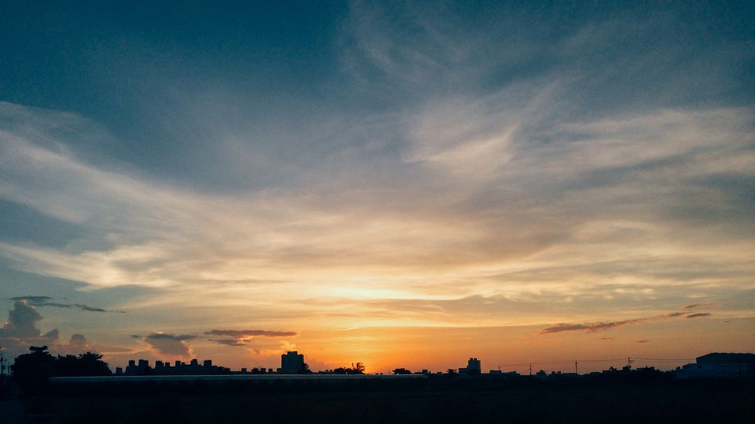
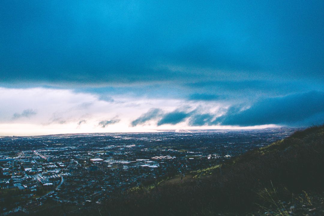
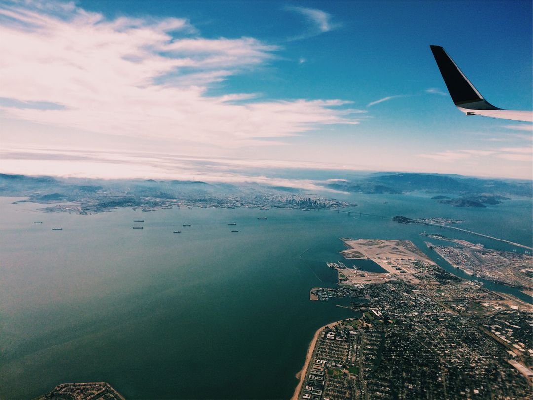
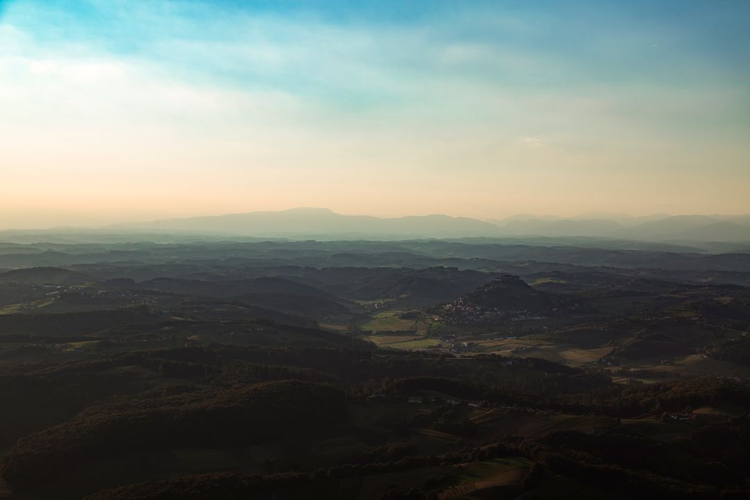
Similar Free Stock Images
Premium

Premium

Premium


Premium
Premium

Premium


Premium
Premium

Premium

Premium

Premium

Premium


Premium

Premium


Premium
Premium
Premium


Premium


Premium

Premium
Premium

Premium

Premium


Premium