
- Home >
- Stock Photos >
- Drone View of Dense Forest with AR Interface for Environmental Analysis
Drone View of Dense Forest with AR Interface for Environmental Analysis Image
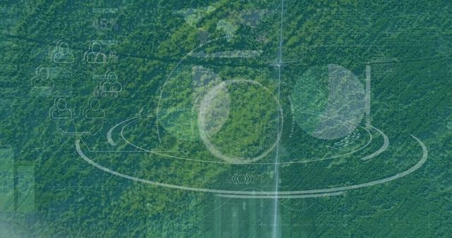
Combining aerial imagery and augmented reality, this scene showcases a secluded forest crisscrossed with translucent user interface elements, suggesting data overlaid in monitoring operations. Useful in topics like environmental improvement, tech-driven conservation campaigns, sustainability initiatives, or educational material focusing on modern tech in nature tracking.

0
downloads
downloads
Tags:
More
Credit Photo
If you would like to credit the Photo, here are some ways you can do so
Text Link
photo Link
<span class="text-link">
<span>
<a target="_blank" href=https://pikwizard.com/photo/drone-view-of-dense-forest-with-ar-interface-for-environmental-analysis/463e0ddedb13887eaa0b88d87461c38b/>PikWizard</a>
</span>
</span>
<span class="image-link">
<span
style="margin: 0 0 20px 0; display: inline-block; vertical-align: middle; width: 100%;"
>
<a
target="_blank"
href="https://pikwizard.com/photo/drone-view-of-dense-forest-with-ar-interface-for-environmental-analysis/463e0ddedb13887eaa0b88d87461c38b/"
style="text-decoration: none; font-size: 10px; margin: 0;"
>
<img src="https://pikwizard.com/pw/medium/463e0ddedb13887eaa0b88d87461c38b.jpg" style="margin: 0; width: 100%;" alt="" />
<p style="font-size: 12px; margin: 0;">PikWizard</p>
</a>
</span>
</span>
Free (free of charge)
Free for personal and commercial use.
Author: Awesome Content