- Home >
- Stock Photos >
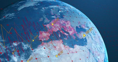
- Earth globe under grid plotting purple polyline with sunglow for geospatial data visualization
Earth globe under grid plotting purple polyline with sunglow for geospatial data visualization Image

Depicting Earth globe overlaid with grid and purple polyline tracking data across Africa and Europe, with sunglow on horizon and numeric label "0.00". Ideal for illustrating geospatial analytics, satellite telemetry, global finance trends, climate monitoring, and space technology narratives. Working well for presentation slides, website headers, editorial covers, infographics, broadcast graphics, and marketing campaigns. Enhancing UX hero sections, dashboard backgrounds, pitch decks, and trade show displays. Providing strong visual cue for data-driven storytelling, location intelligence, real-time tracking, and network connectivity themes.

downloads
Credit Photo
If you would like to credit the Photo, here are some ways you can do so
Free (free of charge)
Free for personal and commercial use.
Author: Awesome Content