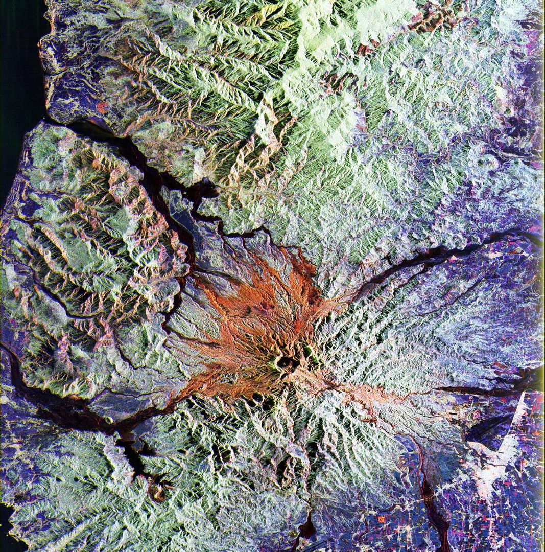
False Color Satellite Imagery of Mount Pinatubo Region and Surroundings Image

This false color satellite imagery captures the landscape around Mount Pinatubo, highlighting topographical features with enhancements in the L-band and C-band spectrum. This type of imagery is ideal for geological studies, environmental monitoring, and educational projects among others. It is especially useful for analyzing volcanic areas and understanding their impacts on the surrounding land.
downloads
Credit Photo
If you would like to credit the Photo, here are some ways you can do so
CC0 (Creative Commons Zero)
Free for personal and commercial use.


