- Home >
- Stock Photos >
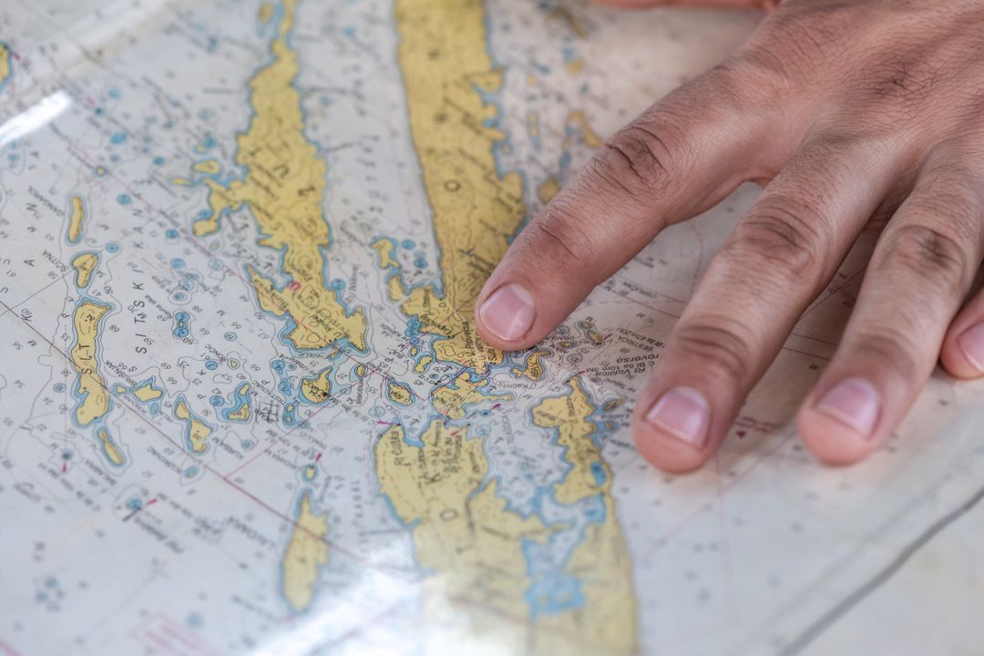
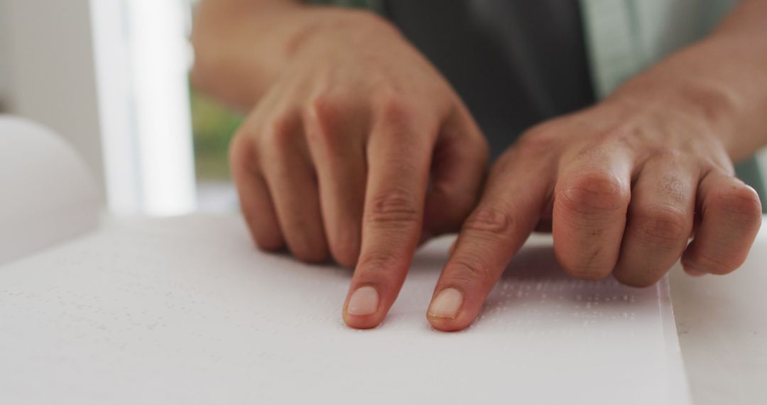
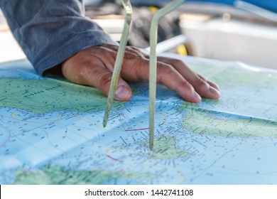
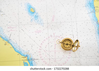
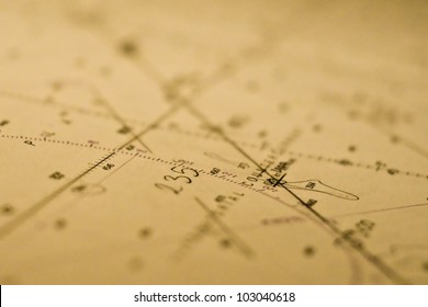
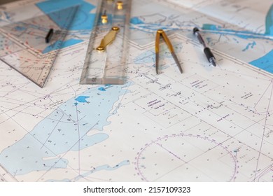
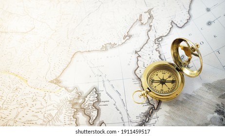
- Finger Pointing at Nautical Chart During Coastal Navigation and Route Planning
Finger Pointing at Nautical Chart During Coastal Navigation and Route Planning Image
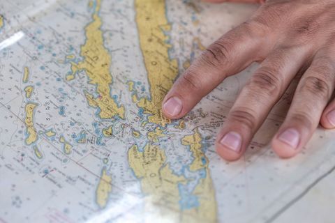
Showing close-up of hand pointing at detailed nautical chart with islands, depth contours, and navigation marks. Focusing on fingertip and chart symbols to convey precision and route planning. Suggesting use for maritime education, boating safety guides, sailing school materials, coastal tourism brochures, and navigation tutorials. Serving well for website headers, editorial layouts, brochure covers, and social media posts about coastal exploration and trip preparation. Recommending tight crop for detail emphasis and wide crop for contextual layouts that highlight chart area and hand interaction.
Powered by  - Get 15% off with code: PIKWIZARD15


Credit Photo
If you would like to credit the Photo, here are some ways you can do so
Text Link
photo Link
<span class="text-link">
<span>
<a target="_blank" href=https://pikwizard.com/photo/finger-pointing-at-nautical-chart-during-coastal-navigation-and-route-planning/0ec2c097a6f1902d63cbb5d8fef6b491/>PikWizard</a>
</span>
</span>
<span class="image-link">
<span
style="margin: 0 0 20px 0; display: inline-block; vertical-align: middle; width: 100%;"
>
<a
target="_blank"
href="https://pikwizard.com/photo/finger-pointing-at-nautical-chart-during-coastal-navigation-and-route-planning/0ec2c097a6f1902d63cbb5d8fef6b491/"
style="text-decoration: none; font-size: 10px; margin: 0;"
>
<img src="https://pikwizard.com/pw/medium/0ec2c097a6f1902d63cbb5d8fef6b491.jpg" style="margin: 0; width: 100%;" alt="" />
<p style="font-size: 12px; margin: 0;">PikWizard</p>
</a>
</span>
</span>
CC0 (Creative Commons Zero)
Free for personal and commercial use.
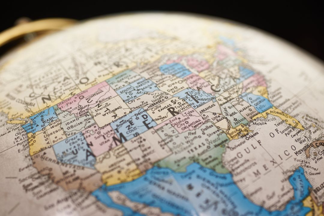
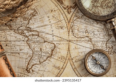
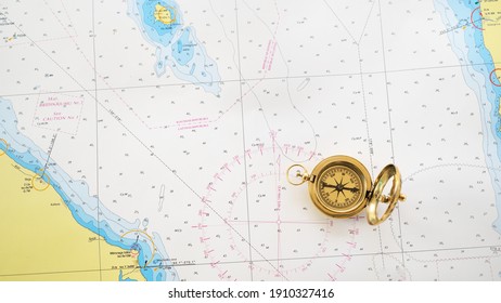
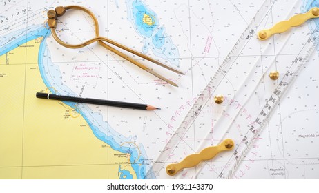
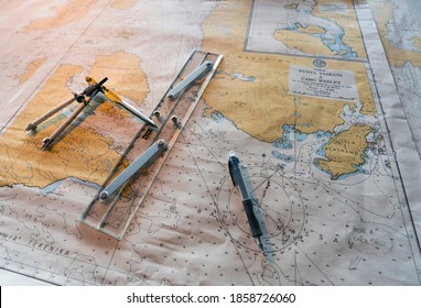
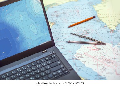
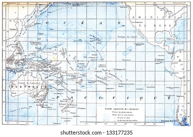
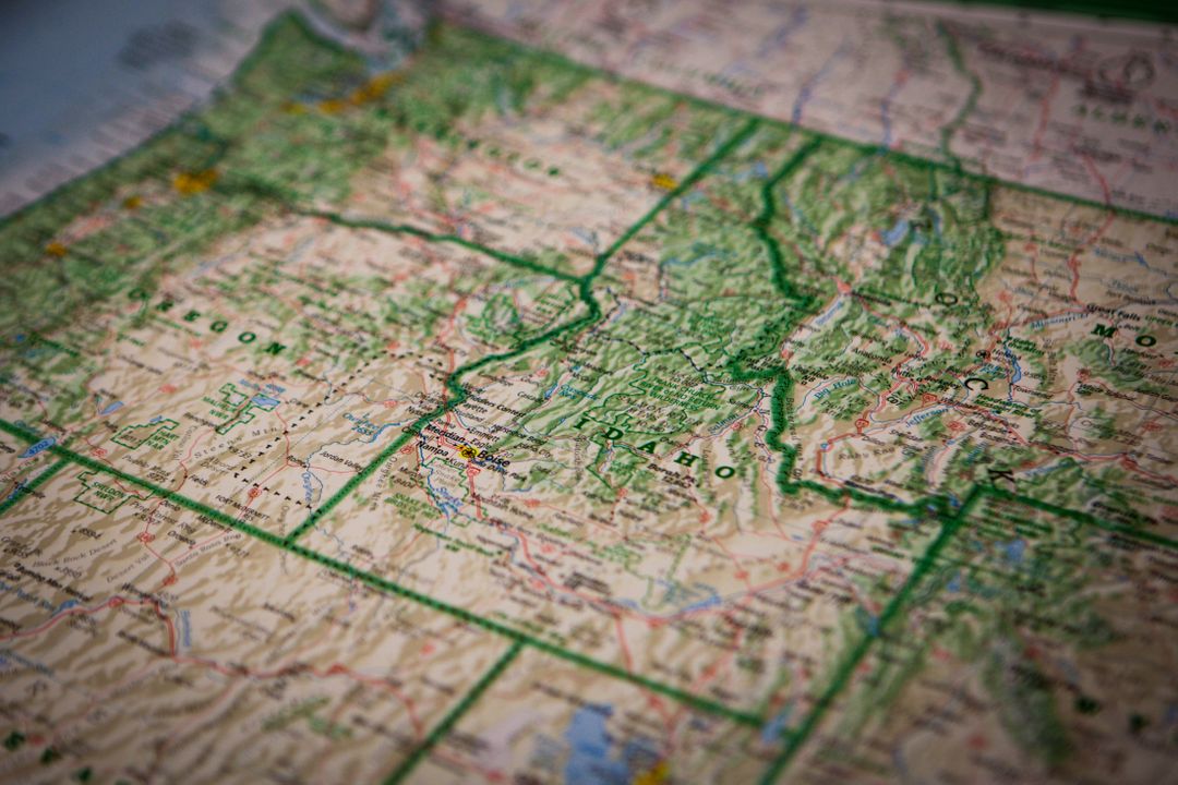
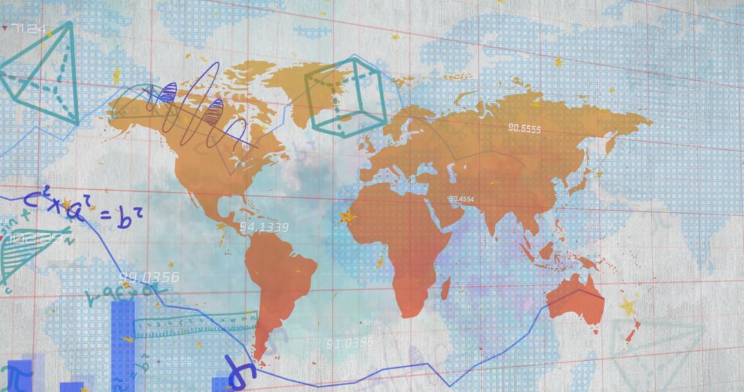
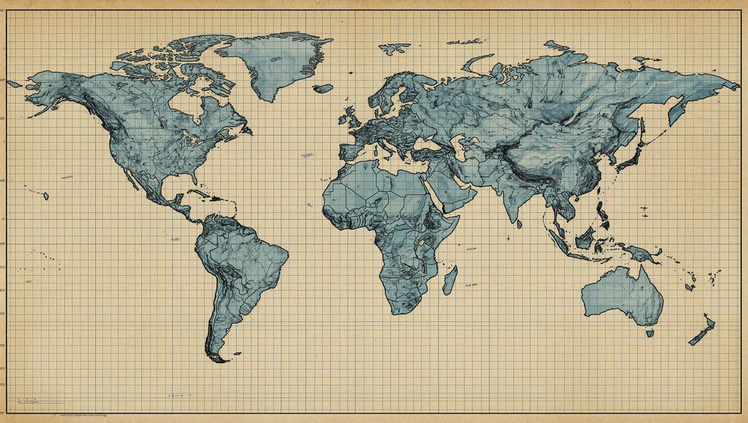
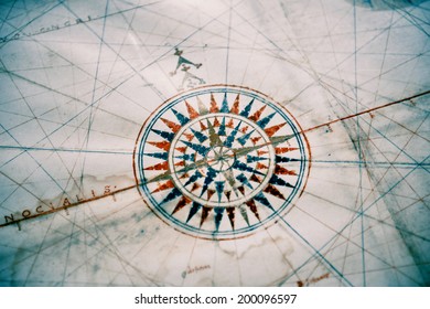
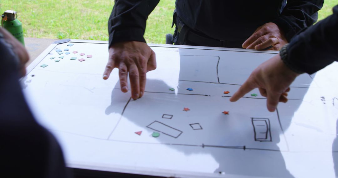
Similar Free Stock Images
Premium


Premium


Premium


Premium


Premium


Premium


Premium


Premium


Premium


Premium


Premium


Premium


Premium


Premium


Premium


Premium


Premium


Premium


Premium


Premium


Premium


Premium


Premium


Premium