
- Home >
- Stock Photos >
- Futuristic City Map Overlay with Data Graphics
Futuristic City Map Overlay with Data Graphics Image
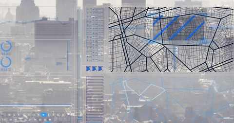
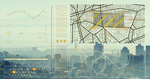
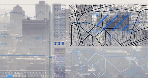
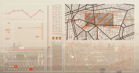
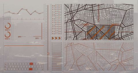
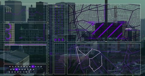
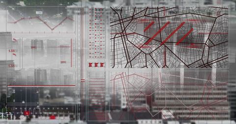
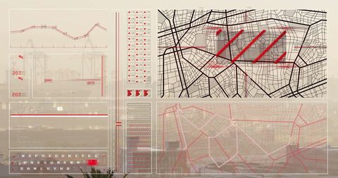
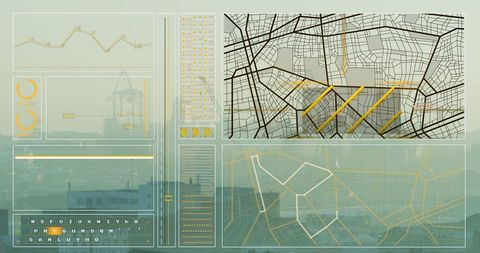
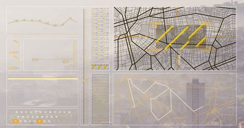
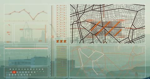
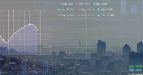
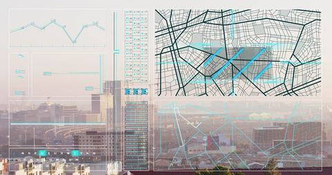
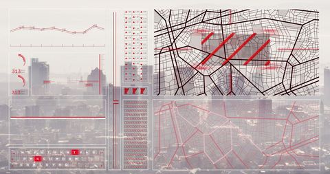
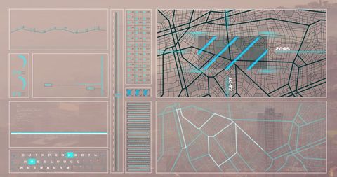
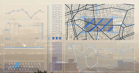
This shows a digital display featuring a map overlay with intersecting lines representing city infrastructure. Incorporating data graphics suggests technological and future-oriented approaches, suitable for depicting concepts in urban planning or analyses regarding international politics, including discussions around Ukraine. Ideal for articles or informational content on geopolitical and technological advancements.
Powered by 


downloads
Tags:
More
Credit Photo
If you would like to credit the Photo, here are some ways you can do so
Text Link
photo Link
<span class="text-link">
<span>
<a target="_blank" href=https://pikwizard.com/photo/futuristic-city-map-overlay-with-data-graphics/a3e952fb1b43642191deb0c4308b03e5/>PikWizard</a>
</span>
</span>
<span class="image-link">
<span
style="margin: 0 0 20px 0; display: inline-block; vertical-align: middle; width: 100%;"
>
<a
target="_blank"
href="https://pikwizard.com/photo/futuristic-city-map-overlay-with-data-graphics/a3e952fb1b43642191deb0c4308b03e5/"
style="text-decoration: none; font-size: 10px; margin: 0;"
>
<img src="https://pikwizard.com/pw/medium/a3e952fb1b43642191deb0c4308b03e5.jpg" style="margin: 0; width: 100%;" alt="" />
<p style="font-size: 12px; margin: 0;">PikWizard</p>
</a>
</span>
</span>
Free (free of charge)
Free for personal and commercial use.
Author: People Creations
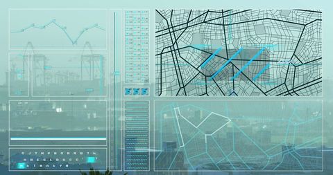
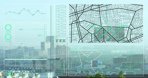
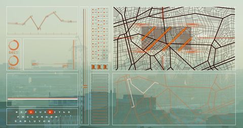
Similar Free Stock Images
Premium


Premium


Premium


Premium

Premium


Premium


Premium

Premium


Premium


Premium

Premium


Premium


Premium


Premium


Premium


Premium


Premium


Premium


Premium


Premium


Premium

Premium

Premium


Premium


Premium


Explore More Free Stock Images