1. Home > 
  2. Stock Photos > 
  3. Global Map Grid Interface with Geographic Connectivity Visuals

Global Map Grid Interface with Geographic Connectivity Visuals Image

Global Map Grid Interface with Geographic Connectivity Visuals

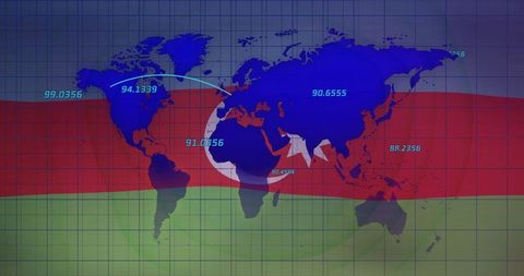
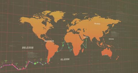
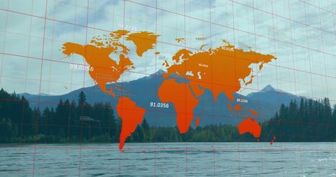
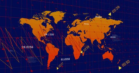
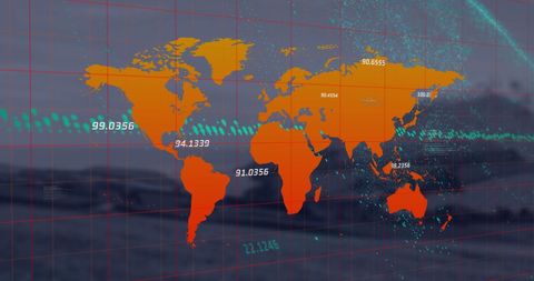
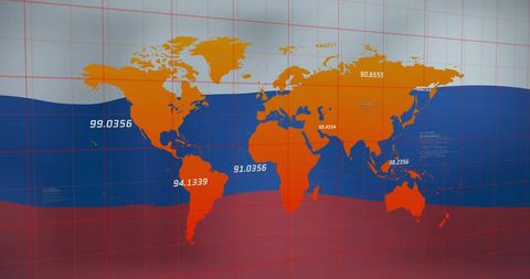
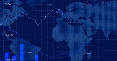
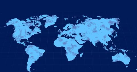
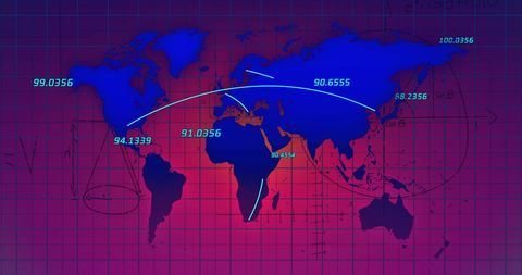
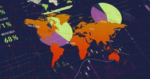
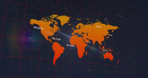
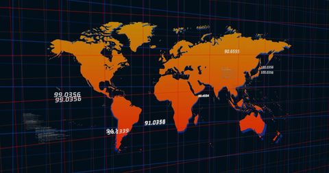
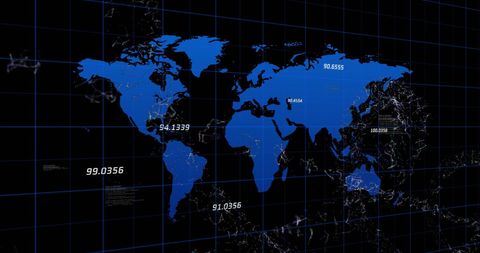
This visual displays a world map in blue overlaying a red-green striped grid. The map is complemented by numeric labels and a star-and-crescent symbol, emphasizing elements of geographical data and connectivity. Ideal for presentations on global data trends, digital technology concepts, mapping solutions, and analytics dashboards. Suitable for illustrating cyber connectivity, international business networks, or geographic information systems.

Powered by Shutterstock logo - Get 15% off with code: PIKWIZARD15
The hand of a robot touches on a GIS mapping network, geospatial data visualization automation analysis tracking layers location integration surveying cartography monitoring systems. - Powered by Shutterstock - Get 15% off with code: PIKWIZARD15Image shows a geographical map of Atlantic Ocean, with landmasses of Africa and South America visible Map style suggests educational use - Powered by Shutterstock - Get 15% off with code: PIKWIZARD15Displaying orange world map overlaying rocky coastal shoreline, showing red grid and numeric labels. Geography, cartography, navigation, earth science, data visualization, topography - Powered by Shutterstock - Get 15% off with code: PIKWIZARD15A cinematic 3D satellite map of Abu Dhabi, UAE showing the downtown area and nearby islands under drifting cloud cover. Perfect for infographics, educational, or cinematic visual projects. - Powered by Shutterstock - Get 15% off with code: PIKWIZARD15Displaying stylized world map occupying center on digital dashboard, showing chevron arrow, route. Geospatial, honeycomb, hexagon, grid, interface, abstract, blue - Powered by Shutterstock - Get 15% off with code: PIKWIZARD15

Credit Photo

If you would like to credit the Photo, here are some ways you can do so

Free (free of charge)

Free for personal and commercial use.

Author: Authentic Images

Similar Free Stock Images

Global Cybersecurity Network with Data Analytics Overlay
Premium
Hungary, Croatia, Bosnia, Romania, a photo of an atlas map, suitable to illustrate travel, tourism, economy, trade and world politics topics
Global Financial Data Processing Concept with World Map
Premium
Study globe placed on a detailed world map showcasing various countries and regions
Premium
Greenland, Denmark, a photo of an atlas map, suitable to illustrate travel, tourism, economy, trade and world politics topics
Global Data Processing with Digital World Map Interface
Digital World Map with Data Connections Linking Continents
Digital World Map and Data Overlap above Urban Skyline
Global Digital Network Connections on World Map
Global Financial Analysis with Data Visualization and World Map
Global Digital Infographic Interface with Map and Data Numbers
NATO Compass on Digital Grid Map with Data Visualizations
Premium
wooden political map of Europe and Asia. Iran, Turkey, Middle East, Saudi Arabia, Sudan, Libya, Egypt, Kazakhstan, Syria, Iraq, Israel, Jordan, Yemen on map
Global Financial Data Projection on World Map Background
Global Data Analytics Overlaying World Map With Technology Icons
Global Networking Concept with World Map and Data Flow Lines at Night
Global Financial Data Processing Map with Digital Interfaces
World Map with Data Points Illustrating Global Finance Trends
Global Digital Network with Data Points on World Map
Global Economy and Technology Symbolism in Digital Abstract
Digital Map with Data Overlay and Security Interface Concept
Digital World Map with Data Analytics and Gambling Symbols Overlay
Premium
A hand holds a magnifying glass over a map focusing on Ukraine, highlighting its position in Eastern Europe and surrounding nations during a travel planning discussion.
Premium
Trinidad and Tobago, a photo of a map in a world atlas, suitable to illustrate travel, tourism, economy, trade and politics themes
Premium
Boston, Massachusetts, USA, picture of a map in a world atlas, suitable to illustrate travel, tourism, trade, economy and politics themes
Premium
Great Plains, North America, detailed map from a world atlas showing borders, geographic features—ideal visual for illustrating global themes of travel, tourism, economics, and political geography.
Premium
Belfast, Northern Ireland, UK, photo of a map in a world atlas, showing colorful borders, countries —ideal for illustrating themes of travel, tourism, global trade, geography and politics
Digital Infographic and Holographic World Map Interface
World Map Overlay on Waving Poland Flag Background
Digital World Map on Red Grid with Numeric Data and Connections
World Map Overlay on Financial Data Highlighting International Analysis
Digital World Map with Global Financial Data Visualization
Global Financial Data Analysis with Blue World Map Illustration
Global Fitness Analytics Overlaying Yoga Studio with Cyan Grid, World Map, Numeric Metrics
Global Economic Decline Illustrated Over World Map
Global Fintech Data Analysis Over Dynamic World Map
Premium
Close-up of hands manipulating a futuristic digital map interface with location markers, highlighting modern technology in navigation and planning.
Premium
Brazil, a photo of a map in a world atlas, suitable to illustrate world politics, economy, trade, travel and tourism themes
Premium
Baltic Sea, detailed map from a world atlas showing borders, geographic features—ideal visual for illustrating global themes of travel, tourism, economics, and political geography.
Global Data Network with Futuristic World Map
Financial Data Projection on Global World Map
Digital World Map with Data Visualization and Analytics Display
Global Data Analytics and Business Insights Concept
Premium
Islamabad, Pakistan, a photo of a map in a world atlas, suitable to illustrate world politics, economy, trade, travel and tourism themes
Premium
Naples, Italy, a photo of a map in a world atlas, suitable to illustrate world politics, economy, trade, travel and tourism themes
Premium
Lima, Peru, a photo of a map in a world atlas from the 1970s, suitable to illustrate world politics, history, trade, economy, travel and tourism themes
Premium
Wooden blocks showing the year 2026 placed on a detailed map of the Middle East and surrounding regions
Premium
Friesland, Netherlands, photo of a map in a world atlas, showing colorful borders, countries —ideal for illustrating themes of travel, tourism, global trade, geography and politics
Premium
Rennes, France, a photo of a map in an old world atlas, suitable to illustrate travel, tourism, trade, economy and politics themes
Premium
Close-up of a red pushpin stuck between Oregon and Idaho on a U.S. map.
Ideal for travel blogs, map navigation, or logistics planning visuals.
Global Financial Data Processing on World Map Illustration
Digital Data Visualization with World Map and Spinning Globe
Global Financial Trends with Arrow Indicating Economic Shift
Global Financial Data Processing Concept with Cityscape
Global Data Analysis Map with Network Interface
Digital World Map Overlaid on Urban Cityscape with Data Graphics
Global Technology Data Analysis in Gambling Context
Premium
West Sussex, UK, picture of a map in a world atlas, suitable to illustrate travel, tourism, trade, economy and politics themes
Futuristic Global Data Analytics World Map Visualization
Digital World Map with Financial and Numeric Indicators
Global Data Processing and Network Technology
Global Data Analysis Concept with World Map and Digital Interface
Premium
North Pole Region, Arctic, Greenland, a photo of a map in a world atlas, suitable to illustrate world politics, economy, trade, travel and tourism themes
Global Financial Data with World Map and Graph Trends
Global Economy Data Visualization on Financial Dashboard
Global Stock Market Trends With Digital World Map
Futuristic Global Business and Data Analytics Interface
World Map Overlay on Tranquil Alpine Lake Landscape
Global Stock Market Data Visualization with Cityscape
Global Business Infographic with Digital Map Interface
Global Financial Market Data on World Map
Premium
Central America, Caribbean Sea, detailed map from a world atlas showing borders, geographic features—ideal visual for illustrating global themes of travel, tourism, economics, and political geography.
Global Cybersecurity Threats on Digital World Map Illustration
Global Financial Growth Concept with Data Patterns
Global connectivity infographic overlaying living room scene, showing child and caregiver
Global Convergence Arrows on Digital Grid Map Design
Global Cybersecurity Threat Analysis with World Map and Virus Icons
Digital Global Map with Grid and Data Visualization
Global Business Financial Data Networking Map Overlay
Dynamic World Map with Financial Network Connections
Global Financial Data with Wind Turbine Overlay Signifying Sustainability
Global Data Analysis on World Map with Bar Graphs and Lines
Global Financial Data Trends Overlapping World Map
Virtual Globe with Digital Data Overlay for Tech Concepts
Data Processing World Map Overlay Russian Flag
Global Economic Data Visualization on World Map
Holographic World Map with Digital Global Data Overlay
Innovative Earth Mapping with Digital Analytics Display
Digital World Map with Interactive Analytics and Charts Interface
Digital World Map with Data on Abstract Grid Background
Digital World Map with Dynamic Data Grid Displays
Global Communication and Data Processing with World Map and Icons
Holographic World Map with Digital Data Overlay
Gabon Flag Over Global Data and Charts Representation
Global 5G Network Connectivity Over World Map
Global Connectivity and Data Processing Concept
Digital Blue World Map with Network Grid Patterns
World Map Analytics Projection with Numerical Data
Digital Data Streams Flowing Across World Map
Digital World Map Highlighting Global Data Networks and Coordinates
Digital World Map with Global Data Network
Global Financial Data Overlay with North Korean Flag Background
Premium
Marseille, France, a photo of a map in a world atlas from the 1970s, suitable to illustrate world politics, history, trade, economy, travel and tourism themes
Digital World Map with Data and Light Effects
Digital World Map with Financial Data Overlay on Cityscape
Red Binary World Map Displaying Cybersecurity Threat Visualization
Global Economy Visualization with Graphs and Financial Data
World Map with Financial Data Displayed on Grid
Global Data Network with Digital World Map
World Map with Digital Data Grid and Numbers for Analytics
Map of Europe with Focus on UK and Spain Regions
Global Finance Background with Map and Graphs Overlay
Global Network Connections Across World Map
Digital World Map with Coordinates on Grid Background
Global Data Points Map with Numerical Analytics Overlay
World Map with Digital Data on Myanmar Flag Background
Global Financial Data Processing on World Map
World Map with Data Visualizations and Charts over Blue Background
Global Business Data Analytics with Futuristic World Map Overlay
Global Data Analytics Overlaid on Virtual Poker Background
3D Digital Globe with Financial Data Overlay for Analytics
Global Financial Data Streaming on World Map
Global Stock Market Trends and Data Analysis with World Map
Premium
Delve into the intricate geography of the Middle East through a detailed map analysis.
Premium
Arhus, Denmark, picture of a map in a world atlas, suitable to illustrate travel, tourism, trade, economy and politics themes
Explore More Free Stock Images