- Home >
- Stock Photos >
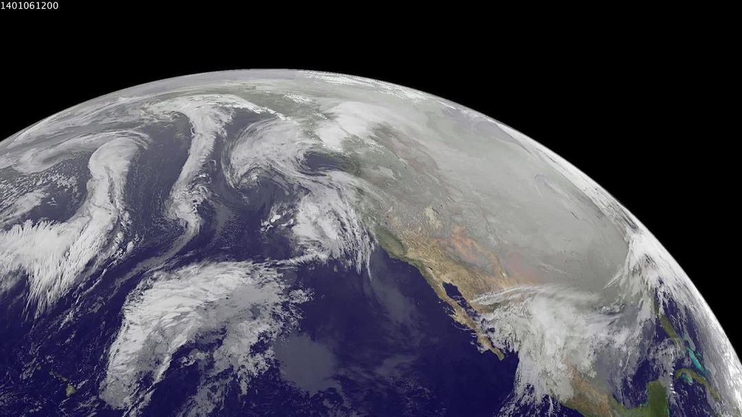
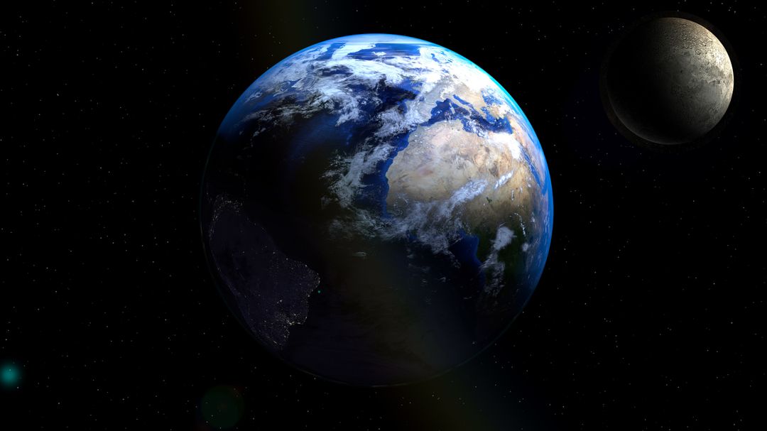
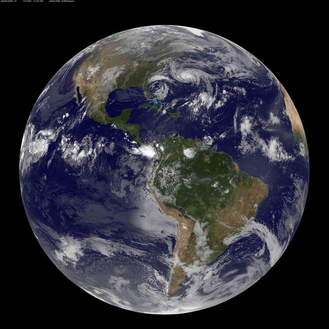
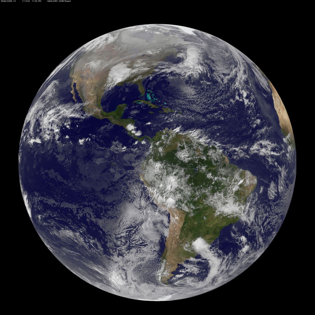
- GOES-13 Satellite Image of Earth Showing Americas on Summer Solstice
GOES-13 Satellite Image of Earth Showing Americas on Summer Solstice Image
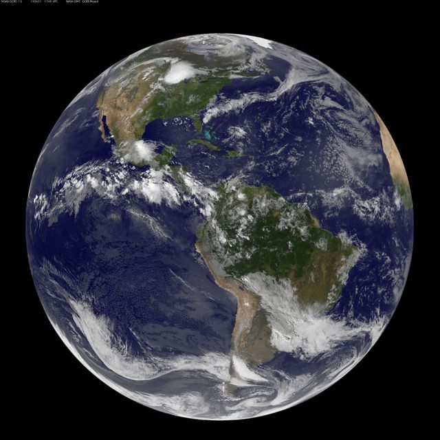
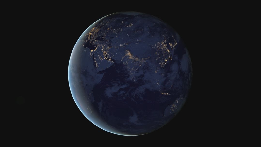
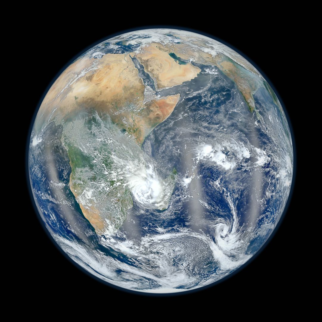
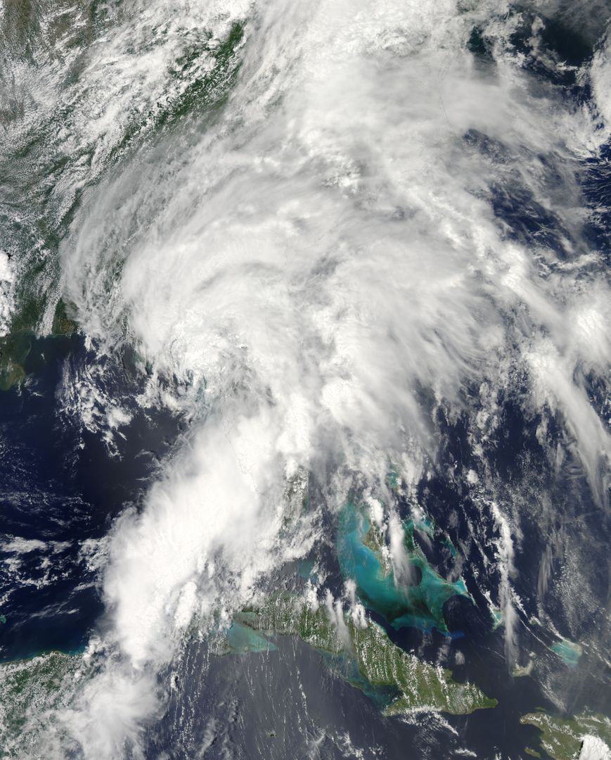
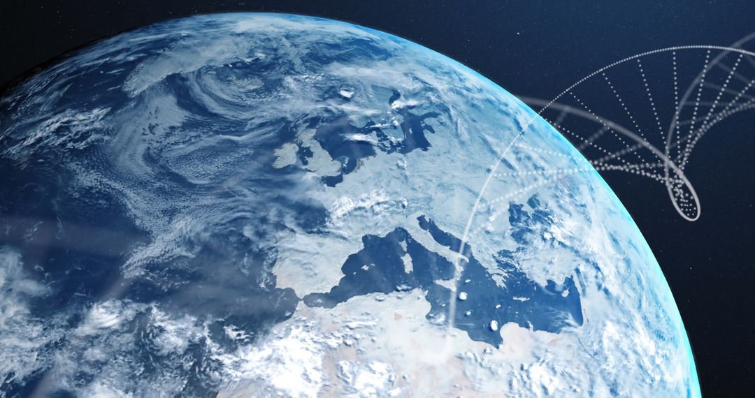
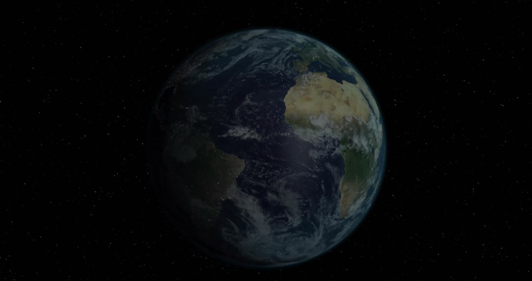
This satellite image captured by NOAA's GOES-13 on June 21, 2012, displays a full-disk view of Earth with a focus on the Americas. The date marks the start of the astronomical summer in the northern hemisphere. This image is suited for use in meteorological studies, educational materials on climate, environmental awareness campaigns, and global weather monitoring.

Credit Photo
If you would like to credit the Photo, here are some ways you can do so
Text Link
photo Link
<span class="text-link">
<span>
<a target="_blank" href=https://pikwizard.com/photo/goes-13-satellite-image-of-earth-showing-americas-on-summer-solstice/2e4af948da7ea04dcda001eab4d655a2/>PikWizard</a>
</span>
</span>
<span class="image-link">
<span
style="margin: 0 0 20px 0; display: inline-block; vertical-align: middle; width: 100%;"
>
<a
target="_blank"
href="https://pikwizard.com/photo/goes-13-satellite-image-of-earth-showing-americas-on-summer-solstice/2e4af948da7ea04dcda001eab4d655a2/"
style="text-decoration: none; font-size: 10px; margin: 0;"
>
<img src="https://pikwizard.com/pw/medium/2e4af948da7ea04dcda001eab4d655a2.jpg" style="margin: 0; width: 100%;" alt="" />
<p style="font-size: 12px; margin: 0;">PikWizard</p>
</a>
</span>
</span>
CC0 (Creative Commons Zero)
Free for personal and commercial use.
Similar Free Stock Images