- Home >
- Stock Photos >
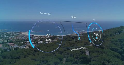
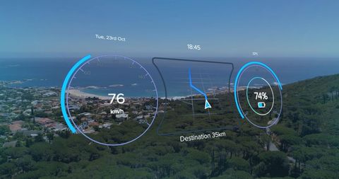
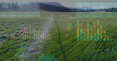
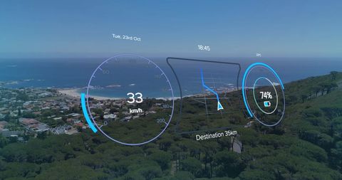
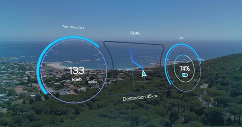
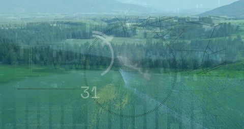
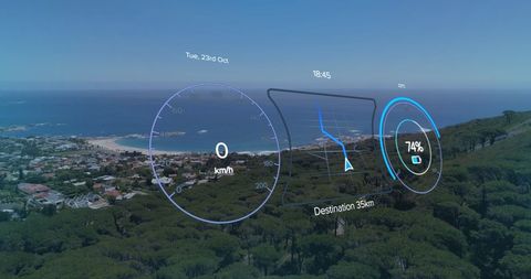
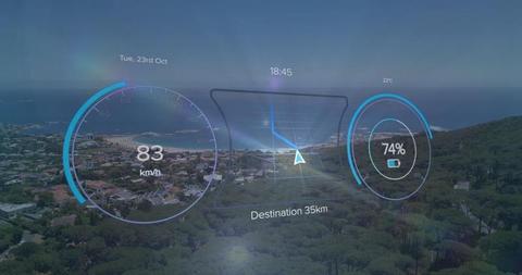
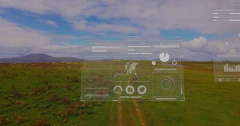
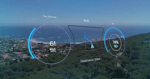
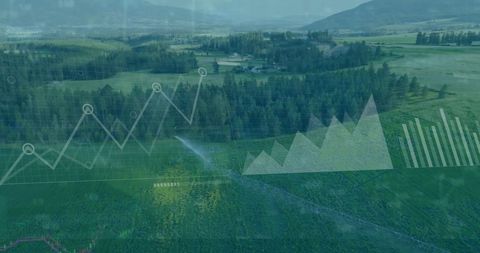
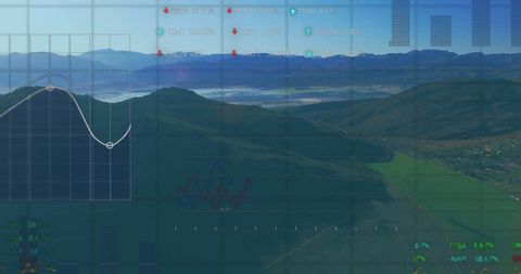
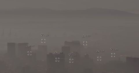
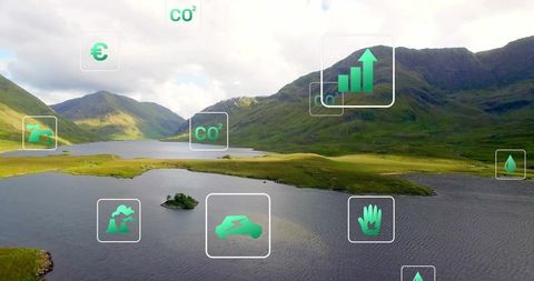
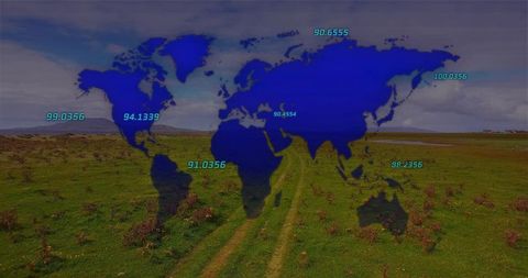
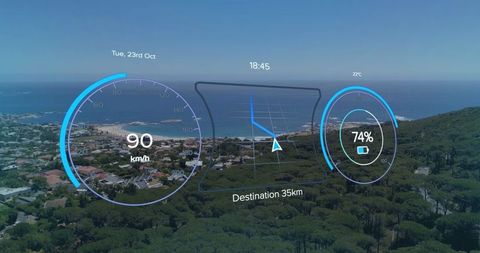
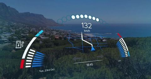
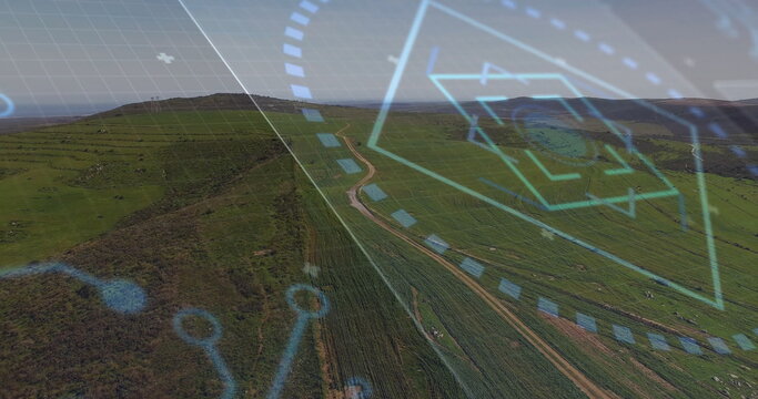
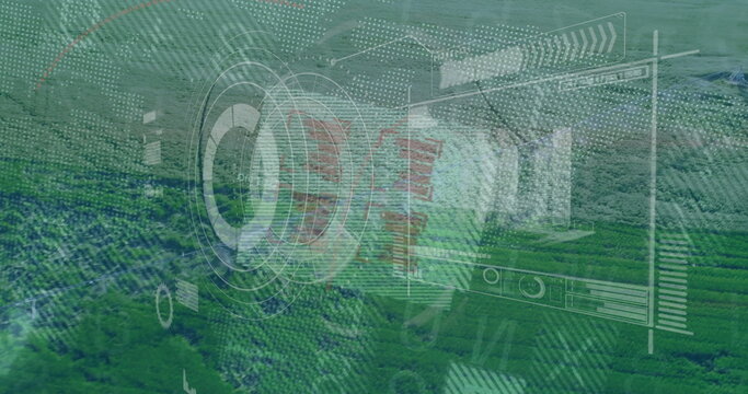
- Green HUD Overlay on Rural Aerial Valley Navigation Technology
Green HUD Overlay on Rural Aerial Valley Navigation Technology Image
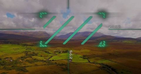
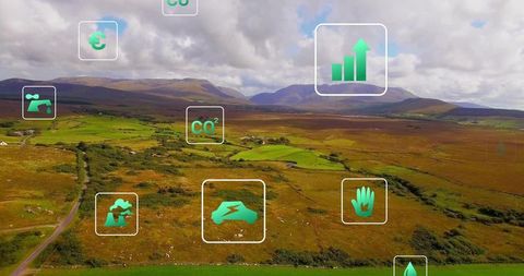
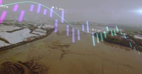
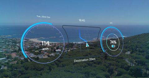
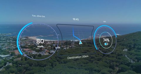
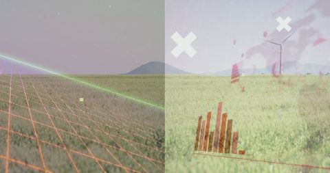
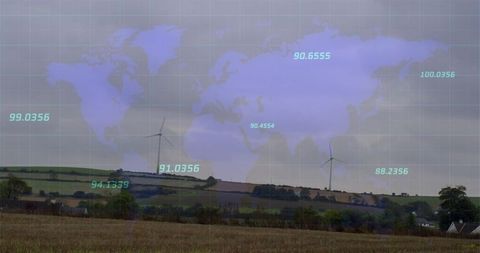
View blending technology with nature in this aerial vista of a lush valley containing a digital Heads-Up Display (HUD) with corner markers and numerical information superimposed to indicate navigation, mapping, or reconnaissance purposes. Ideal for use in technology presentations, mapping service promotions, or drone photography visualizations.
Powered by 


downloads
Tags:
More
Credit Photo
If you would like to credit the Photo, here are some ways you can do so
Text Link
photo Link
<span class="text-link">
<span>
<a target="_blank" href=https://pikwizard.com/photo/green-hud-overlay-on-rural-aerial-valley-navigation-technology/87866fbb3cb12074df922122321db097/>PikWizard</a>
</span>
</span>
<span class="image-link">
<span
style="margin: 0 0 20px 0; display: inline-block; vertical-align: middle; width: 100%;"
>
<a
target="_blank"
href="https://pikwizard.com/photo/green-hud-overlay-on-rural-aerial-valley-navigation-technology/87866fbb3cb12074df922122321db097/"
style="text-decoration: none; font-size: 10px; margin: 0;"
>
<img src="https://pikwizard.com/pw/medium/87866fbb3cb12074df922122321db097.jpg" style="margin: 0; width: 100%;" alt="" />
<p style="font-size: 12px; margin: 0;">PikWizard</p>
</a>
</span>
</span>
Free (free of charge)
Free for personal and commercial use.
Author: Creative Art