- Home >
- Stock Photos >
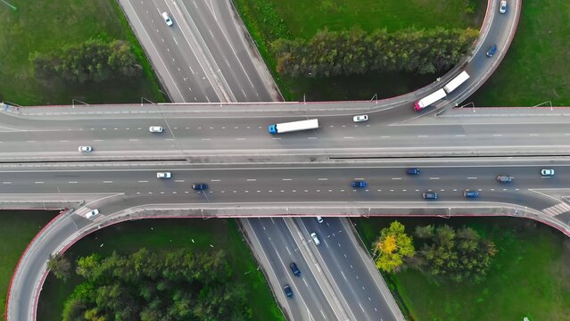
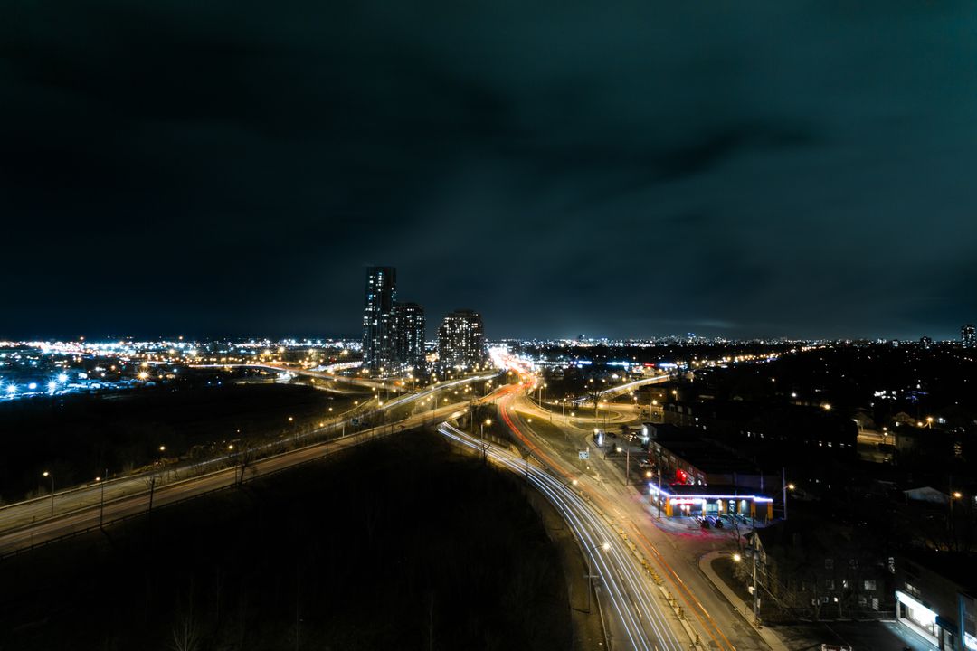
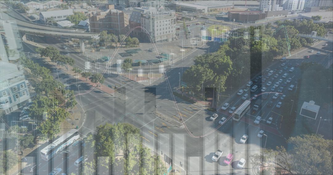
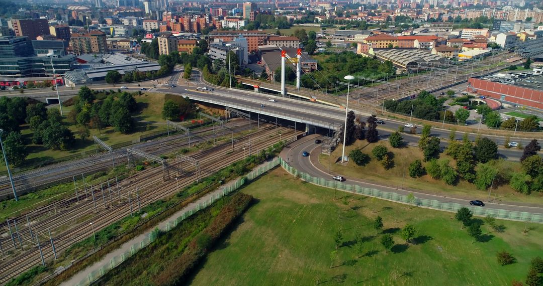
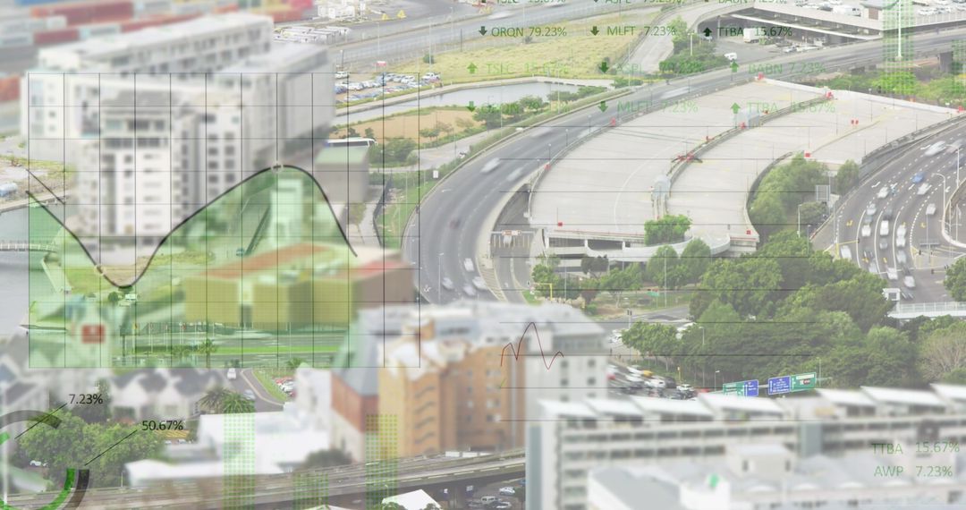
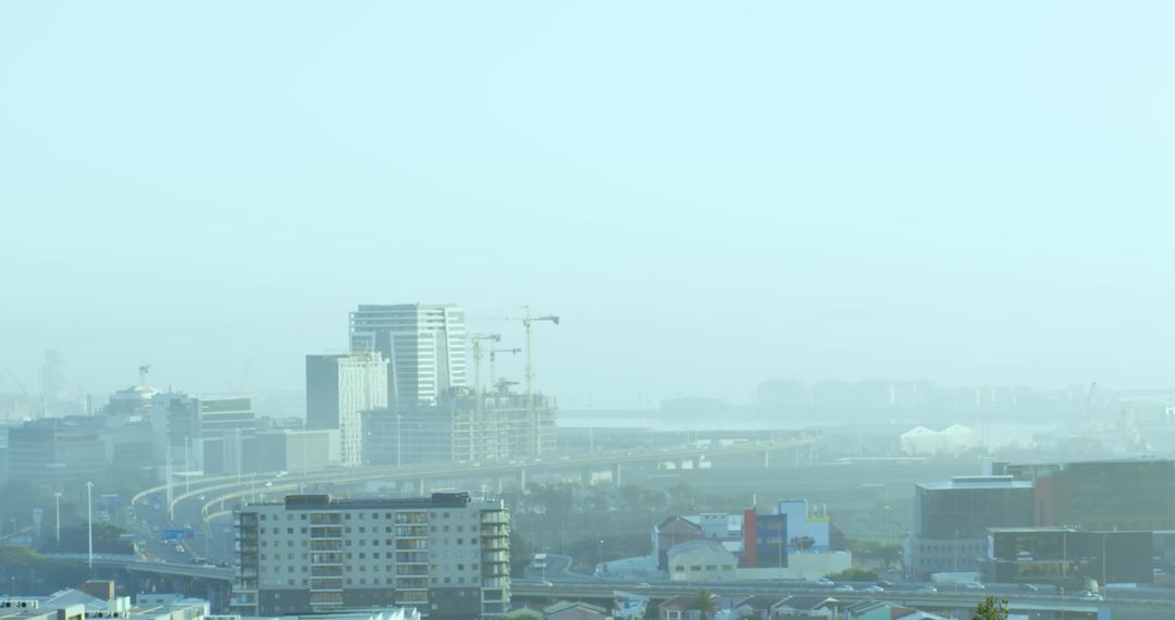
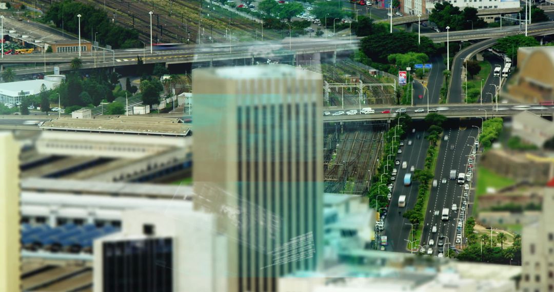
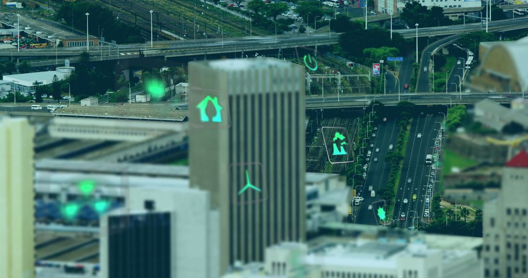
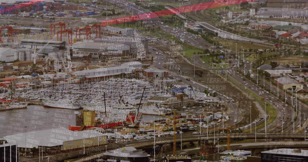
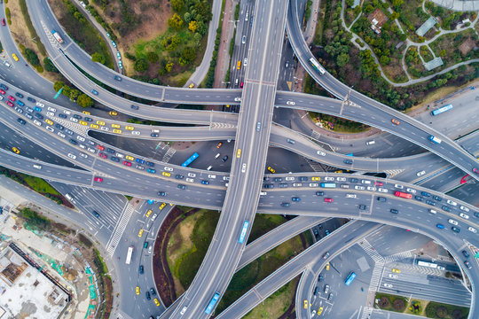
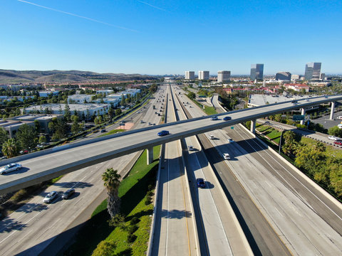
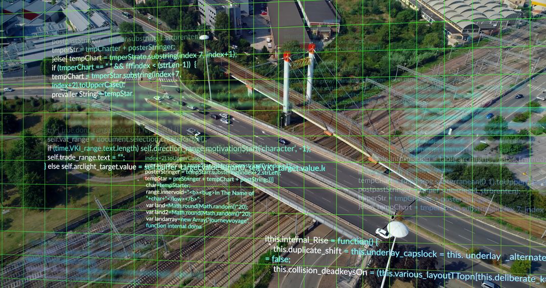
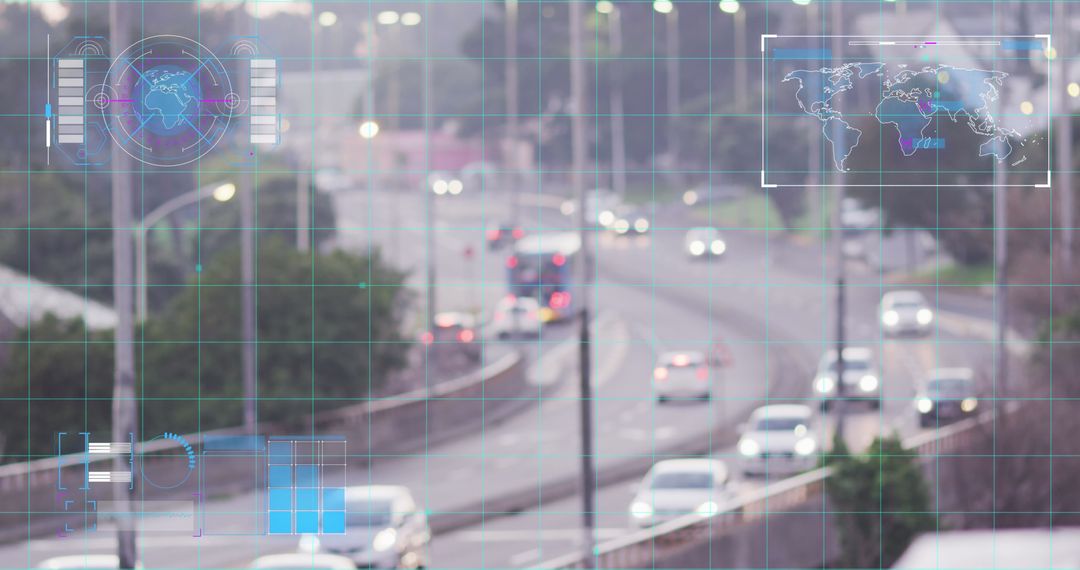
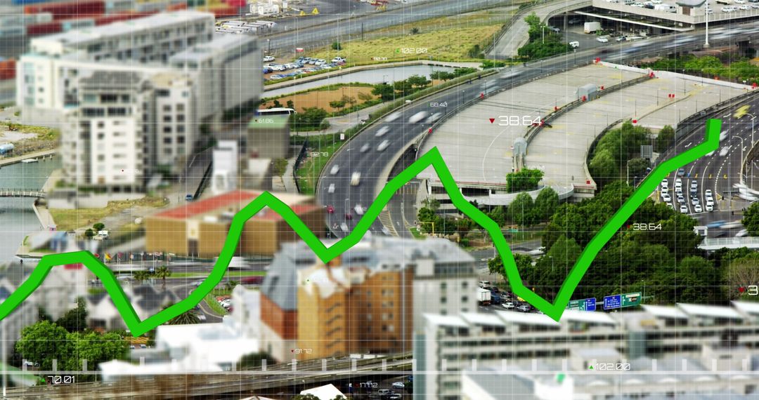
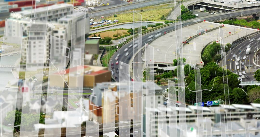
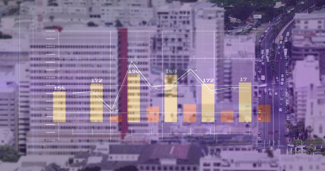
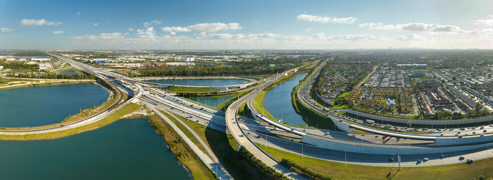
- Highway Interchange with Digital Data Overlays from Aerial Perspective
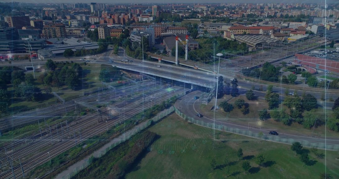
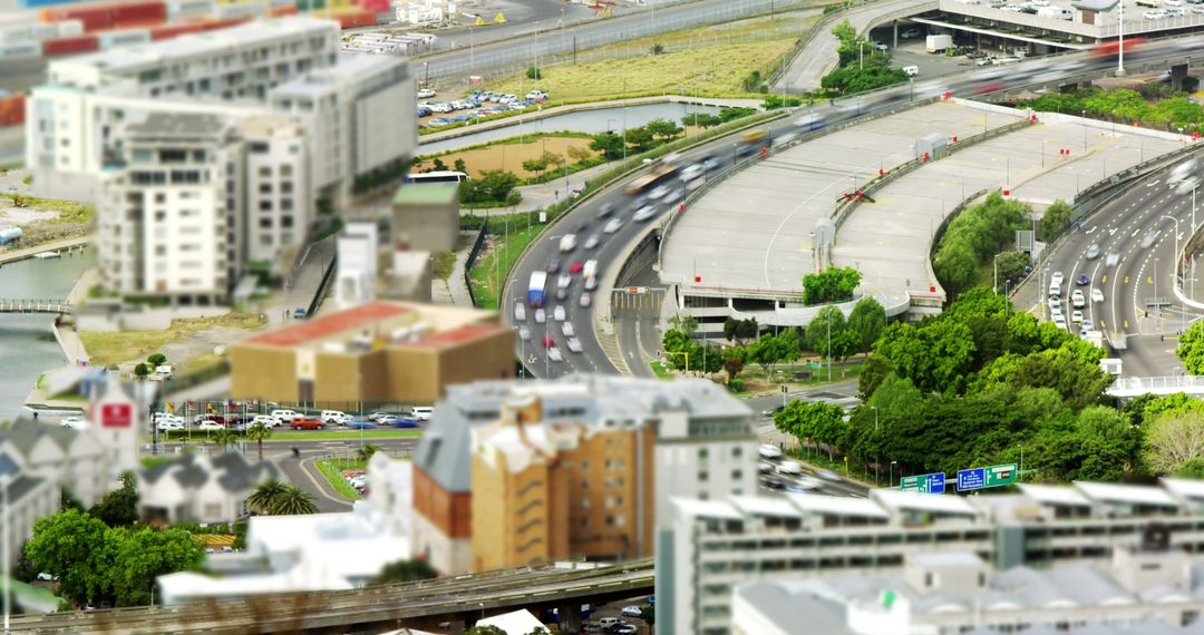
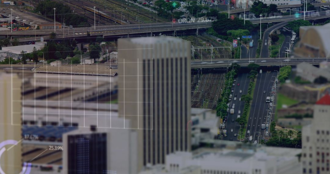
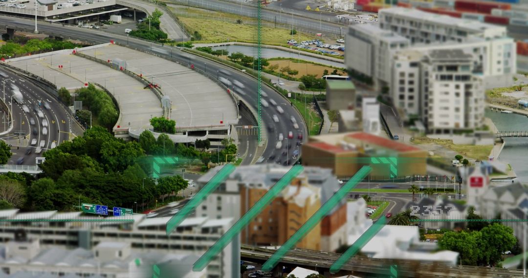
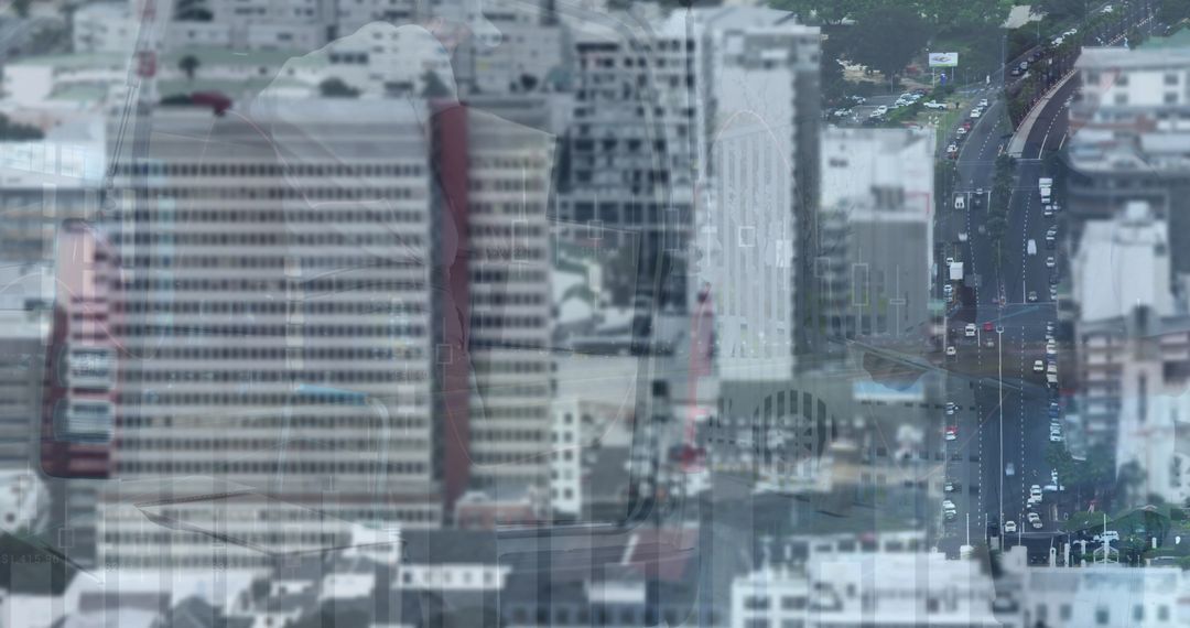
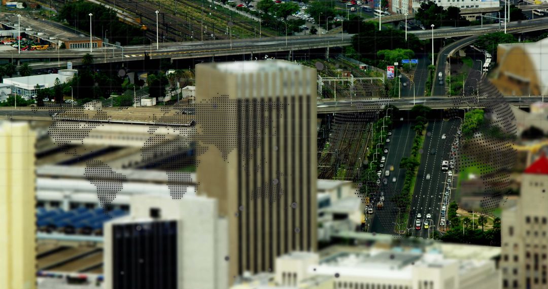
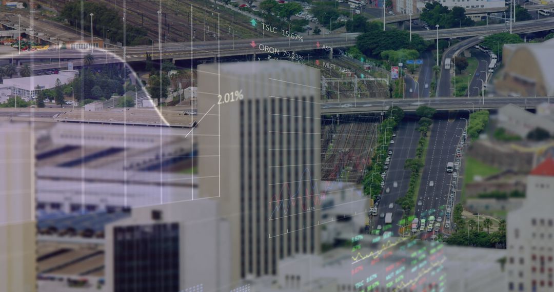
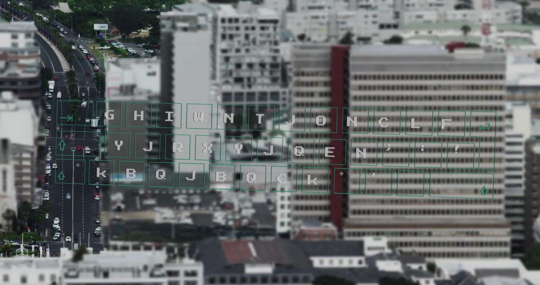
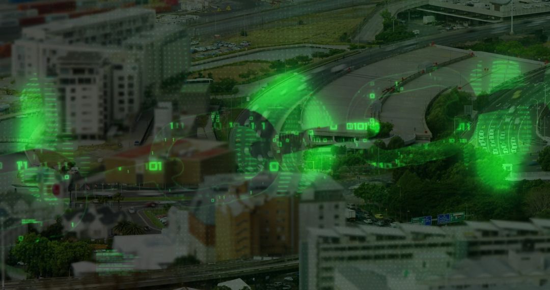
Highway Interchange with Digital Data Overlays from Aerial Perspective Image
Sophisticated view of a busy highway interchange with digital data overlays visible from an aerial perspective. Ideal for illustrating modern transportation analytics, urban infrastructure concepts, and smart city innovations. Useful for publications on urban mobility, traffic management technologies, and insightful data integration in city planning.
Powered by 


0
downloads
downloads
Tags:
More
Credit Photo
If you would like to credit the Photo, here are some ways you can do so
Text Link
photo Link
<span class="text-link">
<span>
<a target="_blank" href=https://pikwizard.com/photo/highway-interchange-with-digital-data-overlays-from-aerial-perspective/d0d5fb651314a089aa2ed9f9bb2d7d35/>PikWizard</a>
</span>
</span>
<span class="image-link">
<span
style="margin: 0 0 20px 0; display: inline-block; vertical-align: middle; width: 100%;"
>
<a
target="_blank"
href="https://pikwizard.com/photo/highway-interchange-with-digital-data-overlays-from-aerial-perspective/d0d5fb651314a089aa2ed9f9bb2d7d35/"
style="text-decoration: none; font-size: 10px; margin: 0;"
>
<img src="https://pikwizard.com/pw/medium/d0d5fb651314a089aa2ed9f9bb2d7d35.jpg" style="margin: 0; width: 100%;" alt="" />
<p style="font-size: 12px; margin: 0;">PikWizard</p>
</a>
</span>
</span>
Free (free of charge)
Free for personal and commercial use.
Author: Creative Art
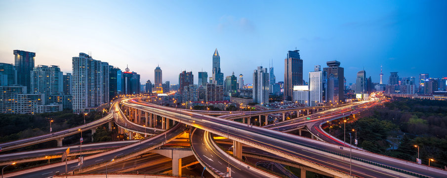
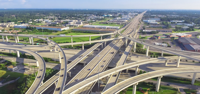
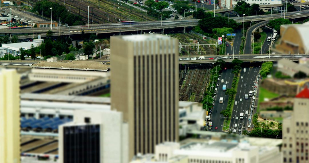
Similar Free Stock Images

Premium


Premium


Premium

Premium


Premium


Premium


Premium


Premium


Premium

Premium


Premium


Premium


Premium


Premium


Premium

Premium


Premium


Premium


Premium


Premium


Premium


Premium


Premium


Premium