
- Home >
- Stock Photos >
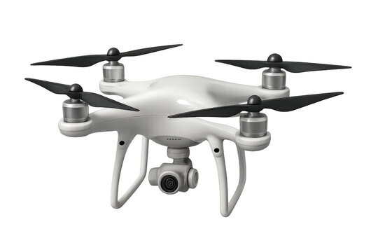
- Hovering drone mapping frozen turquoise lake with glowing grid and distant mountains
Hovering drone mapping frozen turquoise lake with glowing grid and distant mountains Image
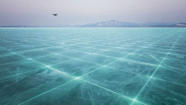
AI Generated Image. Showing hovering quadcopter mapping frozen turquoise lake with glowing grid overlay and distant mountains, creating high-tech cold landscape. Glowing grid representing geospatial data mesh and remote-sensing mapping across icy expanse, conveying futuristic surveying, autonomous drone operation, and AI-driven analytics. Ideal for technology websites, geospatial industry reports, environmental monitoring presentations, drone surveying portfolios, editorial spreads, sci-fi book covers, advertising campaigns for mapping tools, and background art for app interfaces. Composition offering wide negative space for text overlays and headlines, cool turquoise and slate palette enhancing clean modern aesthetic.
Powered by 


0
downloads
downloads
Tags:
More
Credit Photo
If you would like to credit the Photo, here are some ways you can do so
Text Link
photo Link
<span class="text-link">
<span>
<a target="_blank" href=https://pikwizard.com/photo/hovering-drone-mapping-frozen-turquoise-lake-with-glowing-grid-and-distant-mountains/8ddab5946ca29b5db17b50af92e38ecc/>PikWizard</a>
</span>
</span>
<span class="image-link">
<span
style="margin: 0 0 20px 0; display: inline-block; vertical-align: middle; width: 100%;"
>
<a
target="_blank"
href="https://pikwizard.com/photo/hovering-drone-mapping-frozen-turquoise-lake-with-glowing-grid-and-distant-mountains/8ddab5946ca29b5db17b50af92e38ecc/"
style="text-decoration: none; font-size: 10px; margin: 0;"
>
<img src="https://pikwizard.com/pw/medium/8ddab5946ca29b5db17b50af92e38ecc.jpg" style="margin: 0; width: 100%;" alt="" />
<p style="font-size: 12px; margin: 0;">PikWizard</p>
</a>
</span>
</span>
Free (free of charge)
Free for personal and commercial use.
Author: AI Creator