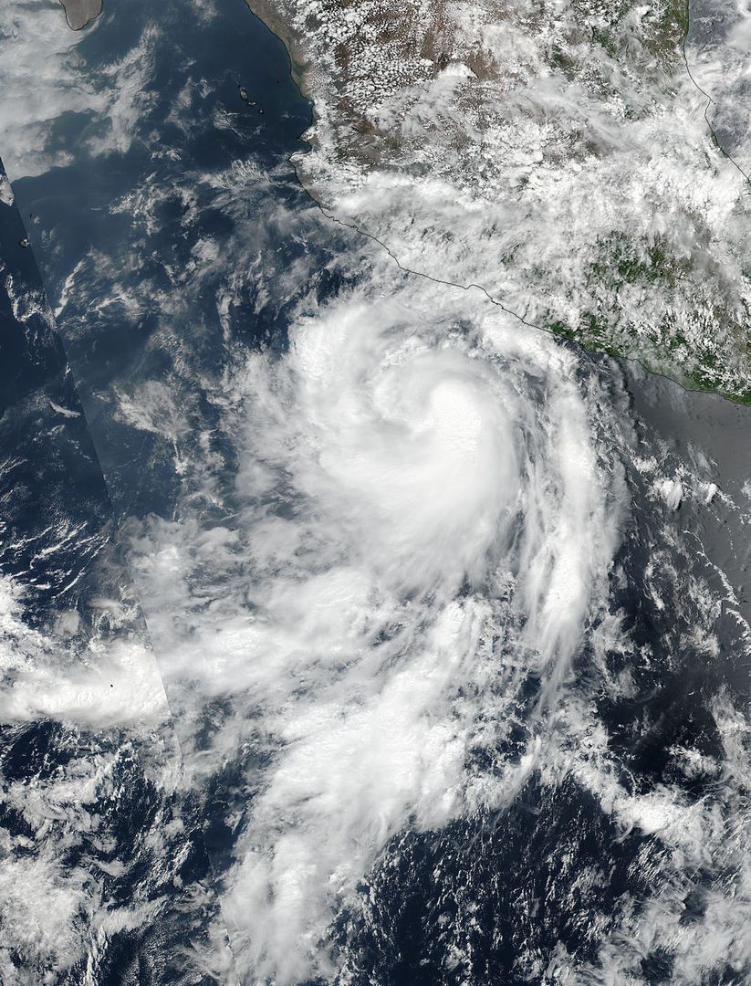
Hurricane Dora Forming Over Eastern Pacific Ocean Viewed from Satellite Image

This image shows Hurricane Dora forming over the Eastern Pacific Ocean, captured by the Suomi NPP satellite. The image highlights the convective spiral bands and central dense overcast of the tropical storm just as it transitioned into a hurricane on June 26. Use this image for weather updates, scientific studies on tropical cyclones, and educational materials on hurricane formation and tracking.
downloads
Credit Photo
If you would like to credit the Photo, here are some ways you can do so
CC0 (Creative Commons Zero)
Free for personal and commercial use.


