1. Home > 
  2. Stock Photos > 
  3. Icelandic Landscape Captured from Space on Sunny August Day

Icelandic Landscape Captured from Space on Sunny August Day Image

Icelandic Landscape Captured from Space on Sunny August Day

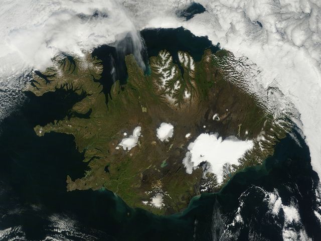
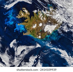
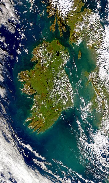
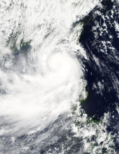
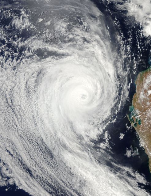
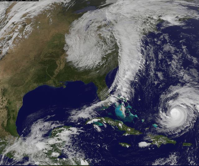
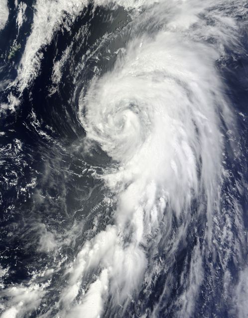
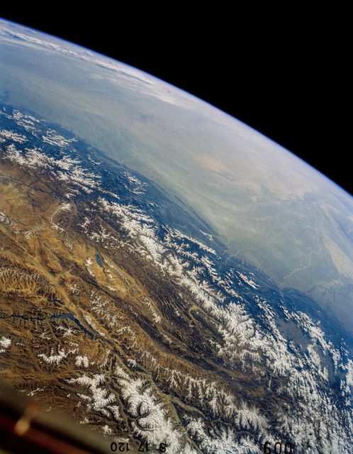
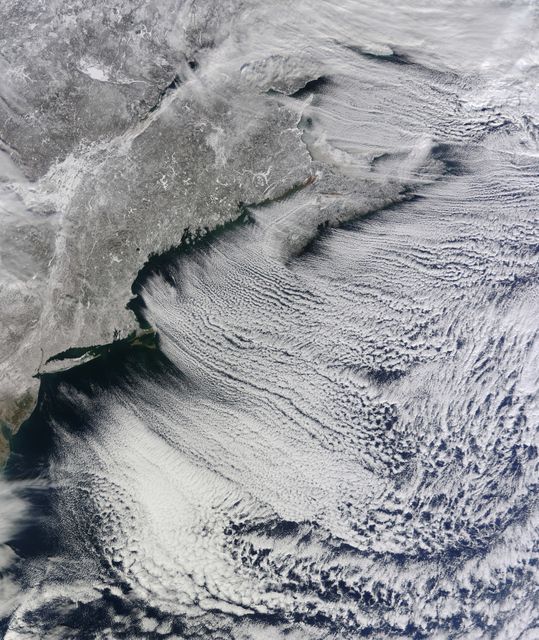
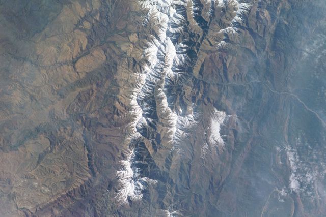
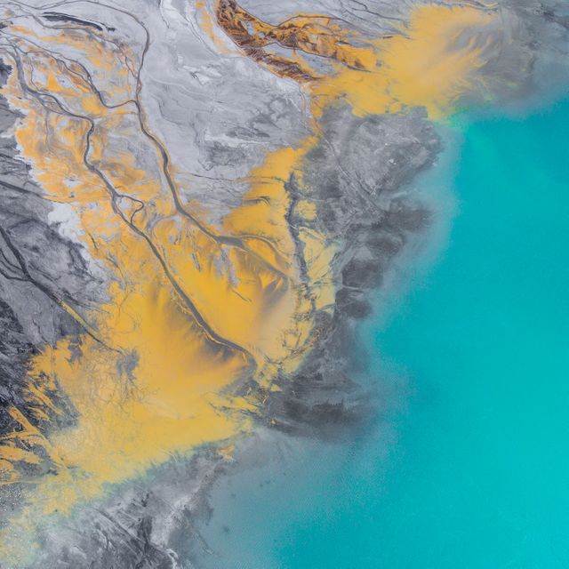
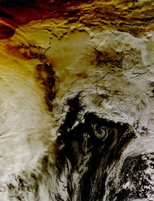
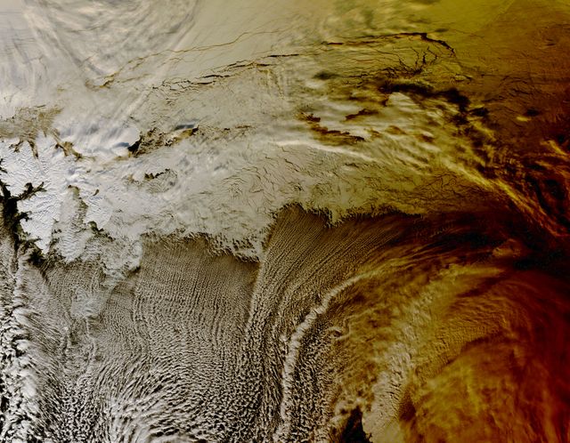
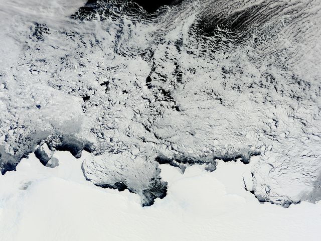
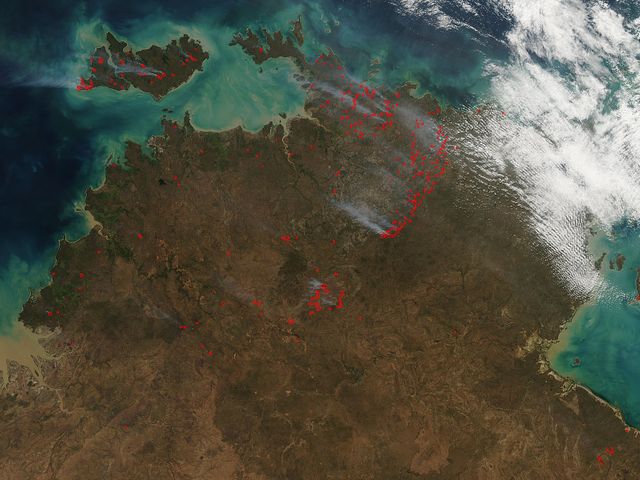
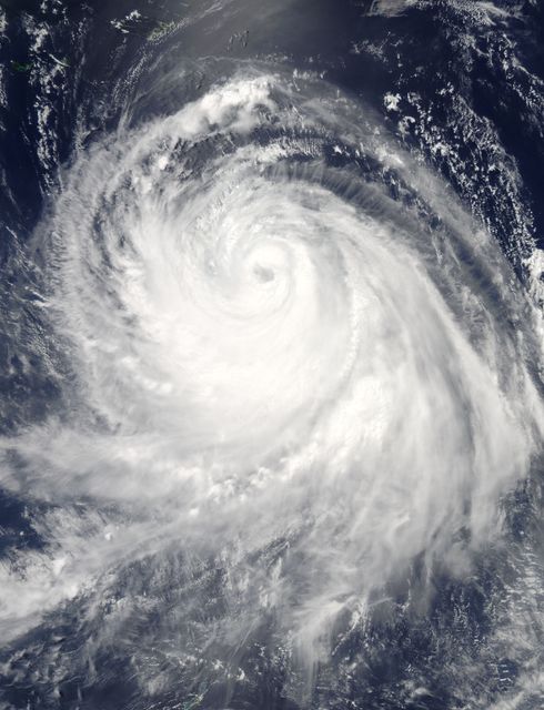
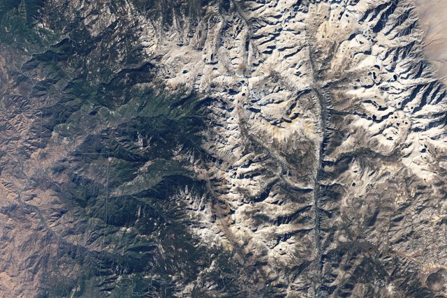
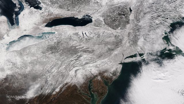
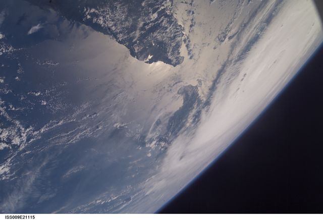
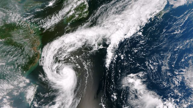
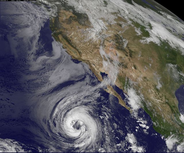
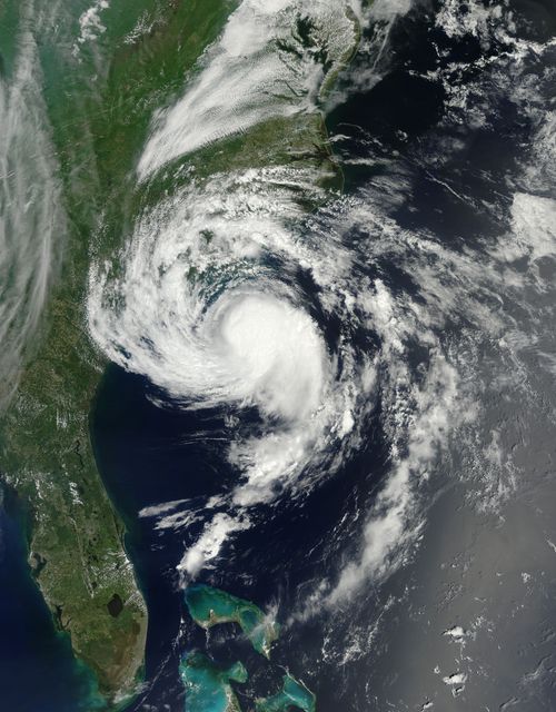
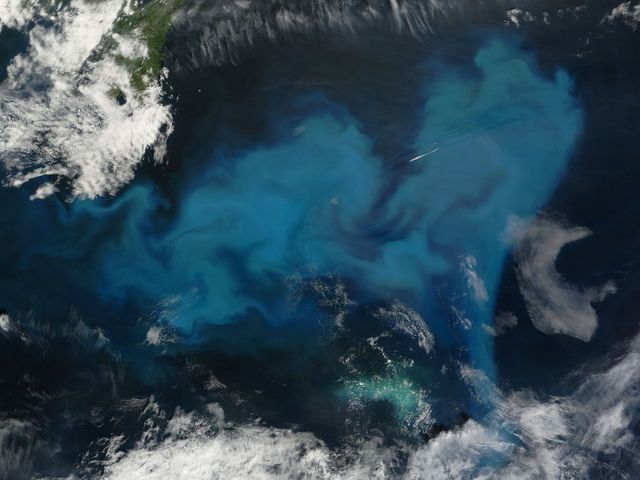
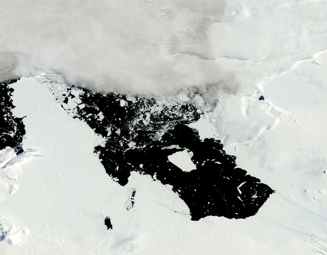
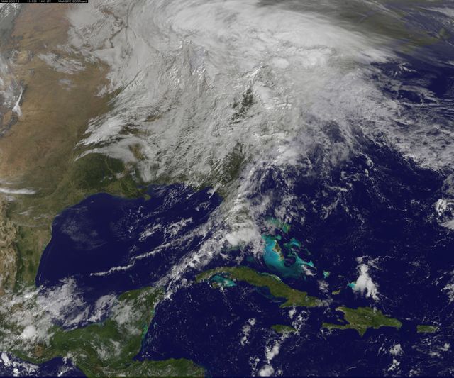
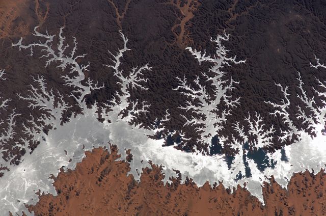
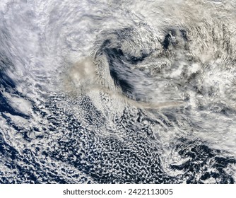
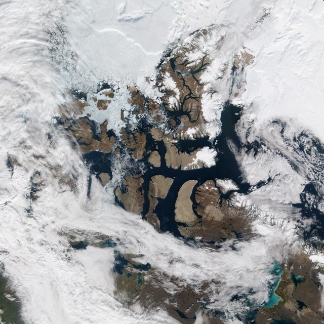
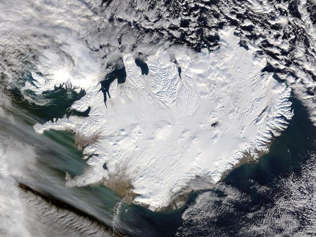
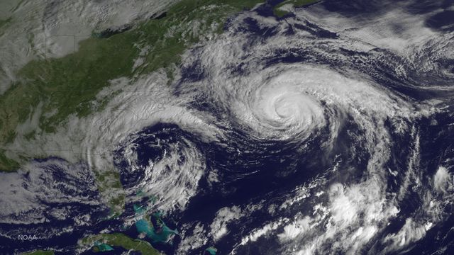
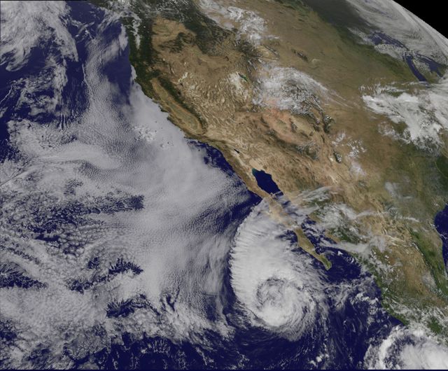
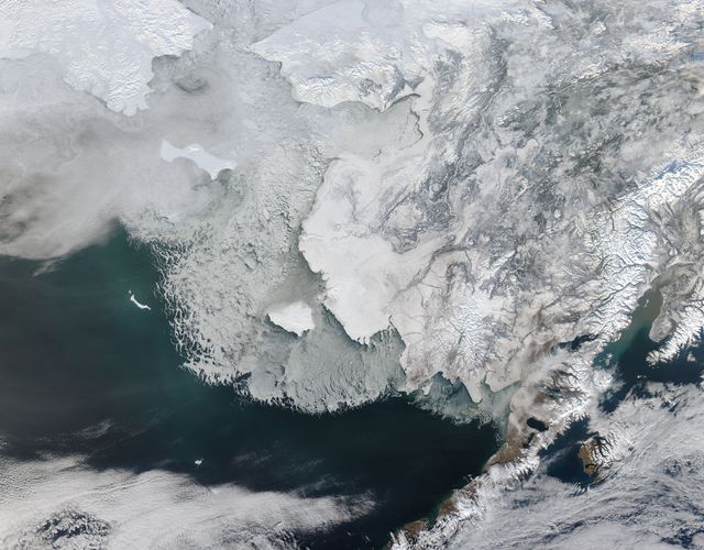
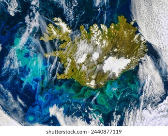
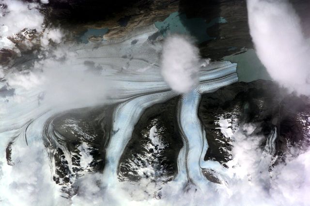
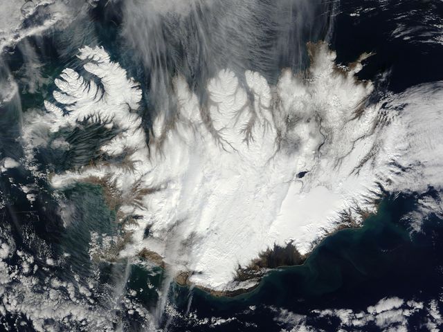
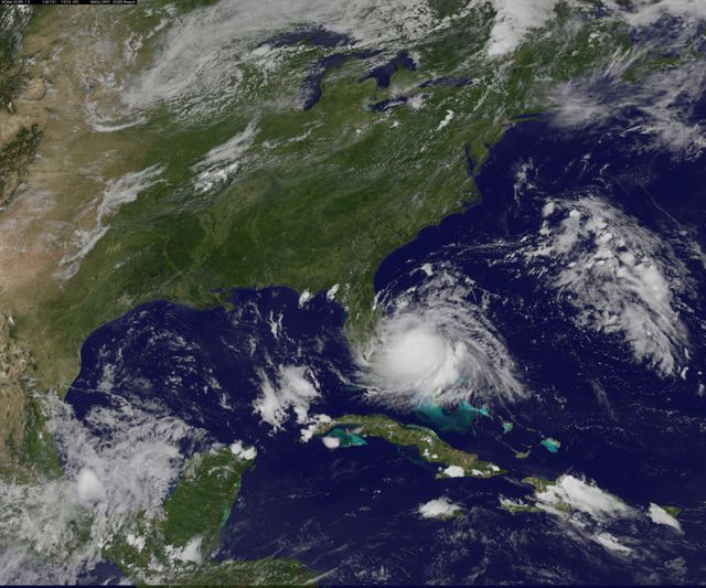
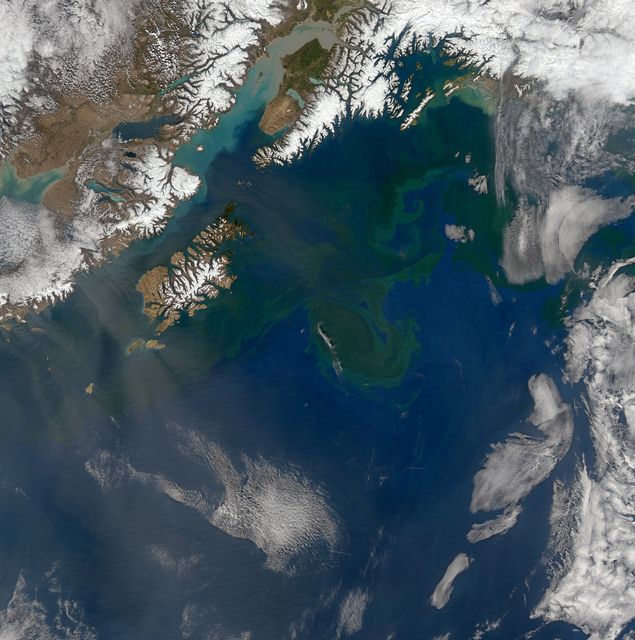
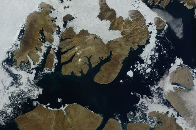
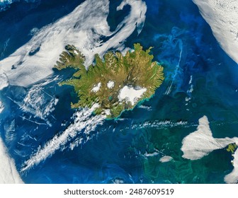
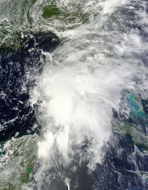
A true-color image taken by NASA's Terra satellite on August 22, 2014, shows Iceland in summer with visible vegetation, snow-capped northern peaks, and significant glaciers, including the Vatnajökull Glacier. The rugged landscape holds notable geographical features such as Iceland's highest mountain, Hvannadalshnjúkur, and evidence of volcanic activity under Bardarbunga. This image can be useful for educational materials, environmental studies, geography lessons, and illustrating volcanic and glacial regions.

Powered by Shutterstock logo - Get 15% off with code: PIKWIZARD15
Grazing with Icelands Reindeer. While efforts to raise domesticated reindeer on the island failed, herds of wild reindeer prosper in East. Elements of this image furnished by NASA. - Powered by Shutterstock - Get 15% off with code: PIKWIZARD15Iceland. Iceland. Elements of this image furnished by NASA. - Powered by Shutterstock - Get 15% off with code: PIKWIZARD15Icelands Volcanic Glacier. Skeiarrjkull is known for flooding caused by volcanic eruptions underneath the ice. Elements of this image furnished by NASA. - Powered by Shutterstock - Get 15% off with code: PIKWIZARD15Lava Flows From Fagradalsfjall. The landscape around the volcano in Iceland changes daily, as lava piles up and spreads across valley floors. Elements of this image furnished by NASA. - Powered by Shutterstock - Get 15% off with code: PIKWIZARD15Iceland. Iceland. Elements of this image furnished by NASA. - Powered by Shutterstock - Get 15% off with code: PIKWIZARD15

Credit Photo

If you would like to credit the Photo, here are some ways you can do so

CC0 (Creative Commons Zero)

Free for personal and commercial use.

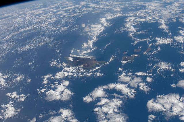
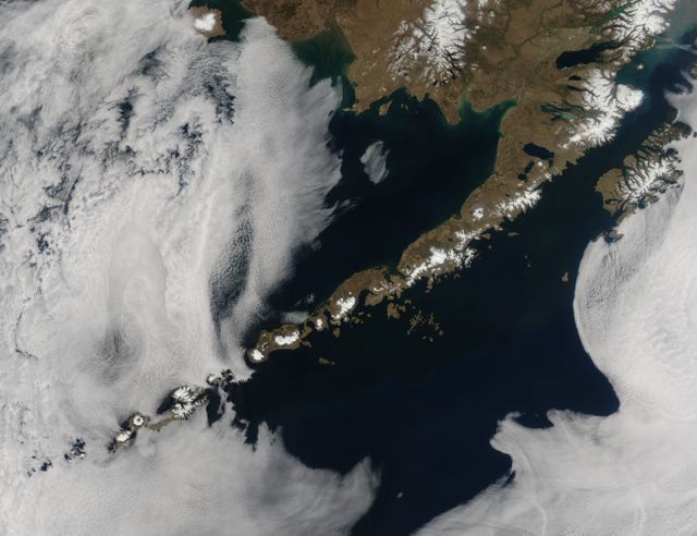
Similar Free Stock Images

Loading...
Swirling Sea Ice Along Greenland's Coast Captured by NASA's Aqua Satellite
Aerial View of Phytoplankton Bloom near St. Matthew Island, October 2014
Satellite View of Ireland with Possible Coccolithophore Blooms
Aerial View of Ship-Wave Shaped Clouds Near Crozet Islands
Aerial View of Tao-Rusyr Caldera and Krenitzyn Peak on Onekotan Island
Premium
Malaspina Glacier, Alaska. The moraines of Malaspina glacier display a dizzying pattern of curves, zigzags, and loops. Elements of this image furnished by NASA.
Tropical Storm Linfa over South China Sea, Satellite View, July 7
Tropical Cyclone Bianca Over Western Australia Coastline Captured from Space
Category 4 Hurricane Gonzalo Over Atlantic Ocean in 2014
Tropical Storm Yagi Captured by NASA’s Aqua Satellite in June
Hurricane Dora Forming Over Eastern Pacific Ocean Viewed from Satellite
Premium
Ash plume from Eyjafjallajokull Volcano, Iceland. Ash plume from Eyjafjallajokull Volcano, Iceland. Elements of this image furnished by NASA.
Himalayas and Karakoram Range from Space, October 1984
Sunlight Glint on Rivers in New York and Pennsylvania from Space, September 2007
Thick Smoke Plume from Canadian Wildfires Over Atlantic Ocean in July 2013
Cloud Streets over North Atlantic Captured by NASA’s Terra Satellite
Aerial View of Snowcapped Mountains in Morocco
Aerial View of Vibrant Geothermal Area With Sulfuric Deposits
Partial Solar Eclipse Darkening Clouds Over Alaska Captured by NASA Satellite
Satellite View of Vancouver and Fraser River from Landsat 5, 2011
Satellite View of Historic Winter Blizzard Over Northeastern United States
Satellite View of Scotland's Winter Landscape from Space
Premium
Iceland. Iceland. Elements of this image furnished by NASA.
Solar Eclipse Shadow Over Arctic Ocean Captured by NASA Satellite
Aerial view of Hurricane Gonzalo approaching Bermuda
Aerial View of Knox, Law Dome, and Sabrina Coasts, Antarctica 2011
Satellite Image of Super Typhoon Megi Over Philippines, October 2010
Data Interface Over Cityscape with World Map Overlay
Futuristic Digital World Map Display with Grid and Scan Lines
Tropical Storm Yagi Spinning Over North Pacific Ocean near Japan, June 2013
Aerial View of Wintery Montreal Showing Rivers and Landmarks, 1994
Tropical Cyclone Chapala Approaching Yemen Coast Captured by NASA Satellite
Fires in Northern Australia Captured by MODIS on Aqua Satellite
Tropical Cyclone Glenda Over Southern Indian Ocean Captured by NASA MODIS
Typhoon Chan-Hom Eye Visible from Space Captured by NASA’s Aqua Satellite, July 2015
Aerial View of Sequoia National Park, California Captured by Landsat 5 Satellite
Premium
Okjkull Remembered. The glacier atop Icelands Ok volcano was declared dead in 2014. Satellite images show the latter stages of its decline. Elements of this image furnished by NASA.
Satellite Image of Northeast Blizzard Aftermath January 28, 2015
Hurricane Frances View from ISS East-Southeast of West Palm Beach 2004
Satellite View of Tropical Storm Toraji Impacting Japan, September 2, 2013
Satellite Image of Hurricane Lowell Over Pacific Ocean
Satellite View of Tropical Storm Ana Near Carolinas Coast
Phytoplankton Bloom Off Newfoundland Coast Viewed from Space, August 2010
Premium
Noctiluca in the North Sea?. These swirling tendrils of phytoplankton might be Noctiluca scintillansa type of marine dinoflagellate known. Elements of this image furnished by NASA.
Massive Iceberg B-31 Calved from Pine Island Glacier, January 2014
Hole-Punch and Canal Clouds over Coast with Supercooled Water Droplets
Premium
Malta. . Elements of this image furnished by NASA.
Satellite View of Tropical Storm Arthur with Cloud-Covered Eye
Suomi NPP Satellite View of Extensive Low Pressure Area Over Eastern USA
Satellite Image of Atmospheric Moisture Transport from Hurricane Patricia
Aerial View of Pyramid Lake, Nevada, USA – ISS Expedition 25, September 28, 2010
Premium
Iceland. Iceland. Elements of this image furnished by NASA.
Smoke from Wildfires over Hudson Bay as Seen from Space
Intense Wildfires in Boreal Forests of Eastern Siberia Captured by NASA Aqua Satellite
California Coastal Regions from Space with Active Fire Area Outlined, May 2013
Satellite View of Hurricane Joaquin Near Bahamas in 2015
Satellite View of Lake Nasser in Egypt with Sunglint Highlighting Water
Premium
Reykjavik, Iceland. The worlds northernmost capital city, Reykjavik, Iceland, resides on geologically young land. The islands location on. Elements of this image furnished by NASA.
World Map with Digital Business Icons In Cityscape
Premium
Ash plume from Eyjafjallajokull Volcano, Iceland. Ash plume from Eyjafjallajokull Volcano, Iceland. Elements of this image furnished by NASA.
Premium
Eruption in Fagradalsfjall, Iceland. In southwest Iceland,  in early August 2022, another volcanic eruption began on a fissure swarm that last. Elements of this image furnished by NASA.
Aerial View of Big Island Hawaii Surrounded by Pacific Ocean Waters
Premium
Northern lights aurora borealis over planet Earth "Elements of this image furnished by NASA" close up
Premium
Iceland. Iceland. Elements of this image furnished by NASA.
Satellite View of Hurricane Fred Near Cape Verde Islands, August 2015
Premium
Europe by night - View from space - Elements of this image furnished by NASA
Hurricane Gonzalo Raging over Atlantic Ocean Captured by NASA's Terra Satellite
NASA satellites capture Tropical Storm Leslie and Hurricane Michael
Satellite View of Northwest Passage in Canadian Arctic on August 31, 2015
Premium
Flooding in Iceland. Most spring floods are triggered by rain or melting snow, but when the Skafta River of southern Iceland flooded in late. Elements of this image furnished by NASA.
MODIS Captures Cloud Streets Over Atlantic Ocean in 2014 Cold Snap
Iceland Covered in Winter Snow Captured from Space
Aerial View of Hiker Resting on Snowy Mountain Peak
Premium
Iceland. Iceland. Elements of this image furnished by NASA.
Holiday Lights Brighten U.S. Cities Viewed from Space
Hurricane Joaquin in Atlantic Ocean North of Bermuda Seen from Space Oct 5, 2015
Category 4 Hurricane Odile Approaching Baja California Sur, September 2014
Tropical Cyclone Winston with Pinhole Eye Observed from Space
Premium
Icelands Raging Rivers. In a country rich with compelling geologic phenomena, even the rivers are connected to the landscape of fire and ice. Elements of this image furnished by NASA.
Satellite View of Russia Wildfires and Smoke Plume, August 2010
Tropical Storm Miriam Off Baja California Captured by NOAA's GOES-15 Satellite
NASA Terra Satellite Captures Glory Phenomenon Over West Africa Coastline
Premium
Iceland. Iceland. Elements of this image furnished by NASA.
Typhoon Soudelor Impacting Taiwan Viewed from Space, August 2015, NASA Aqua Satellite
Hurricane Jeanne Viewed from International Space Station 2004
Snow-Covered Northeastern United States from Space on Last Day of Meteorological Winter 2014
Premium
Iceland. Iceland. Elements of this image furnished by NASA.
Satellite Image of Tropical Storm Andrea Making Landfall in Florida, June 6, 2013
Colorful Phytoplankton Bloom in the Yellow Sea Captured by Aqua-MODIS on February 24, 2015
Satellite View of Sea Ice Off Western Alaska in February 2014
Premium
Phytoplankton bloom off Iceland. Phytoplankton bloom off Iceland. Elements of this image furnished by NASA.
NOAA GOES-East Satellite Image of Mid-Atlantic Showing Weather Before Moon Mission Launch
Aerial View of Turquoise Lake with Golden Sand Patterns and Rocky Terrain
Global Connectivity: Digital Map with Data Streams on Grey Background
Aerial View of Upsala Glacier in Argentina Captured from ISS
Hawaiian Islands from Space Captured on December 29, 2011
Astronaut View of Iceland's Snow-Covered Terrain from Space
Aleutian Islands from Space Displaying Breathtaking Volcanic Chain and Surrounding Fog
Satellite View of Developing Cyclone Near Bahamas On July 1, 2014
Premium
Ash plume from Eyjafjallajokull Volcano, Iceland. Ash plume from Eyjafjallajokull Volcano, Iceland. Elements of this image furnished by NASA.
Dense Haze Shrouds Northern China Seen from Space in December 2013
Sea Ice and Melting Glaciers off the Greenland Coast, Captured by NASA Satellite
Satellite View of Smoke and Haze from Fires in Sumatra, March 2014
Tropical Cyclone Chapala Over Yemen Captured by NASA Aqua Satellite
Premium
Iceland morning overpass. Iceland morning overpass. Elements of this image furnished by NASA.
Satellite View of Possible Coccolithophore Bloom South of Ireland, May 2000
Premium
Ash plume from Eyjafjallajokull Volcano, Iceland.  Elements of this image furnished by NASA.
Hurricane Joaquin Over Bahamas Captured by NOAA Satellite
Satellite View of Turquoise Ocean Currents and Snowy Mountains
Northwest Passage Sea Ice and Islands Captured by NASA’s Terra Satellite, August 2010
Phytoplankton Bloom Near Western Iceland Captured by Aqua Satellite
Satellite Image of Hurricane Joaquin Over the Bahamas on October 1, 2015
Premium
Oil Spill off Unalaska Island. . Elements of this image furnished by NASA.
Aerial View of Snow-Capped Mountain Range with River Valley
Satellite View of Typhoon Usagi Approaching China, September 22, 2013
Premium
Phytoplankton blooms off Iceland.  Elements of this image furnished by NASA.
Drifting Wildfire Smoke Over Midwest Captured by Terra Satellite
Satellite View of Sea Ice off Princess Astrid Coast, East Antarctica
NASA Satellite Captures Tropical Storm Andrea Extending Over Florida
Satellite View of Typhoon Kilo with Clear Eye in Northwestern Pacific Ocean
Premium
Icelands Waters Abloom. July 2019 brought the latest display of a phytoplankton bloom that occurs every year in the North Atlantic Ocean. Elements of this image furnished by NASA.
Tropical Storm Dianmu over East China Sea captured by NASA Terra on August 10, 2010
Aerial View of Grinding Glaciers in Torres del Paine National Park, Chile
Data Processing on Global Map with Clouds and Sky
Digital World Map Highlighting Global Connections and Networks