- Home >
- Stock Photos >
- Innovative Earth Mapping with Digital Analytics Display
Innovative Earth Mapping with Digital Analytics Display Image
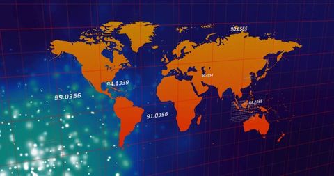
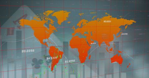
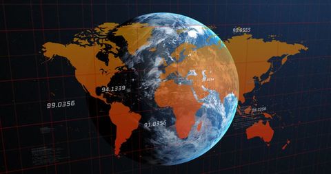
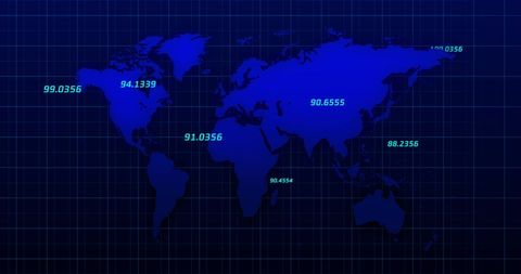
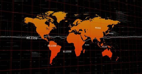
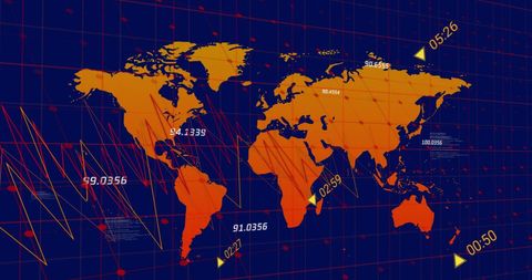
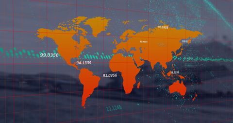
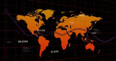
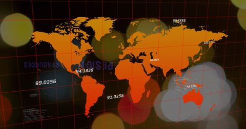
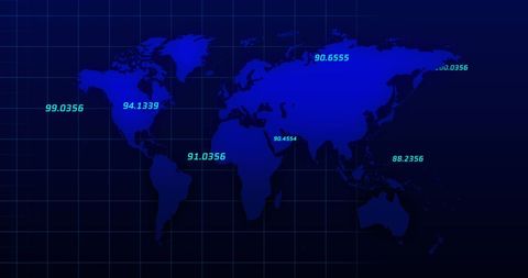
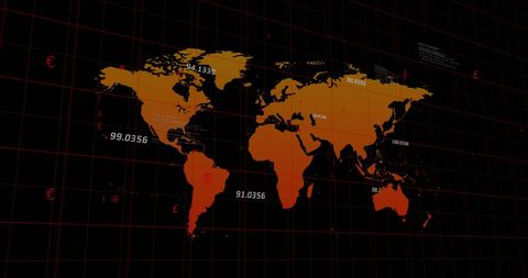
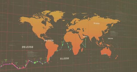
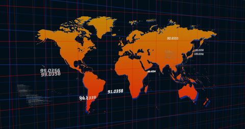
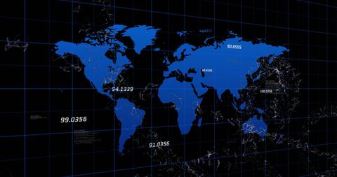
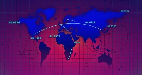
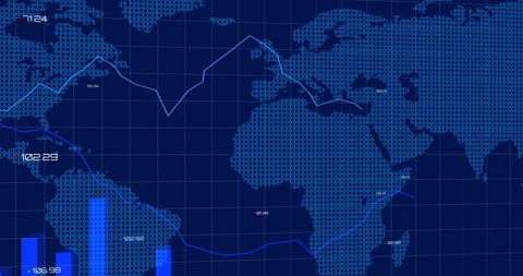
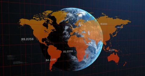
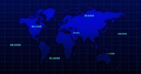
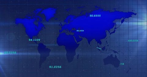
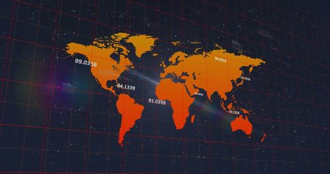
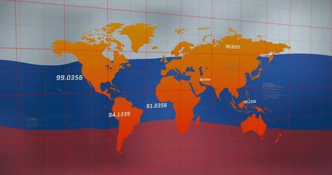
An orange world map superimposed with red gridlines and numeric annotations, conveying a modern, digital analytics interface. It features glowing points on various continents, suggesting data nodes or significant metrics. This can unlock use cases such as technology presentations, data science projects, analytics courses, and global network marketing materials.

downloads
Tags:
More
Credit Photo
If you would like to credit the Photo, here are some ways you can do so
Text Link
photo Link
<span class="text-link">
<span>
<a target="_blank" href=https://pikwizard.com/photo/innovative-earth-mapping-with-digital-analytics-display/e550190973954e63ab76d81e6eb64069/>PikWizard</a>
</span>
</span>
<span class="image-link">
<span
style="margin: 0 0 20px 0; display: inline-block; vertical-align: middle; width: 100%;"
>
<a
target="_blank"
href="https://pikwizard.com/photo/innovative-earth-mapping-with-digital-analytics-display/e550190973954e63ab76d81e6eb64069/"
style="text-decoration: none; font-size: 10px; margin: 0;"
>
<img src="https://pikwizard.com/pw/medium/e550190973954e63ab76d81e6eb64069.jpg" style="margin: 0; width: 100%;" alt="" />
<p style="font-size: 12px; margin: 0;">PikWizard</p>
</a>
</span>
</span>
Free (free of charge)
Free for personal and commercial use.
Author: People Creations