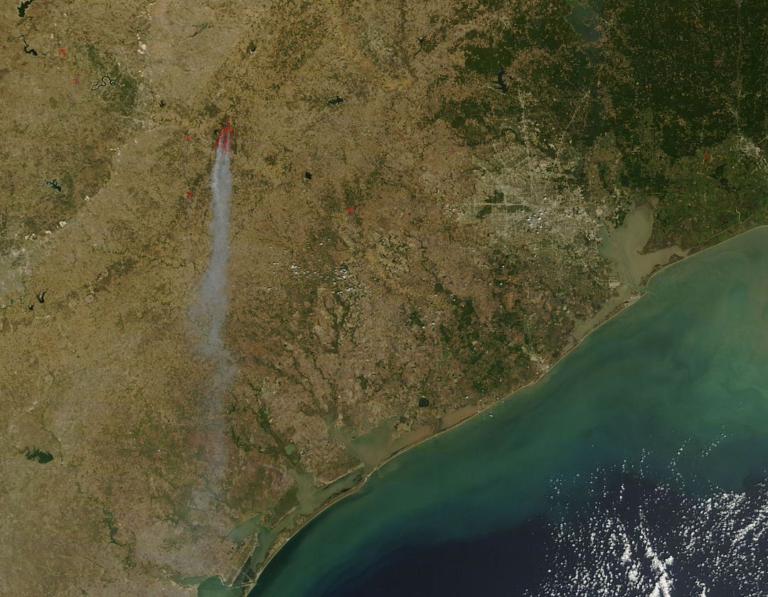
NASA Satellite Image of Bastrop County Wildfires September 2011 Image

Satellite image captures extensive wildfires spreading through Bastrop County, Texas on September 5, 2011. Visible smoke plume demonstrates severity of fire affecting land and ecosystems. Useful for educational content on natural disasters, NASA's Earth monitoring capabilities, environmental studies, and climate impact reports.
downloads
Credit Photo
If you would like to credit the Photo, here are some ways you can do so
CC0 (Creative Commons Zero)
Free for personal and commercial use.


