- Home >
- Stock Photos >
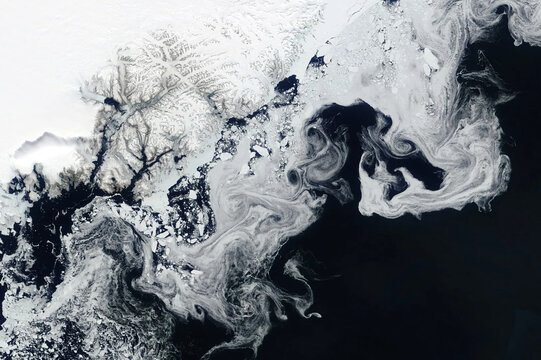
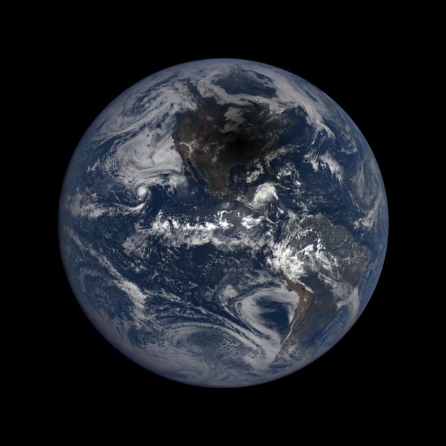
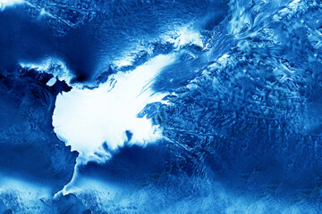
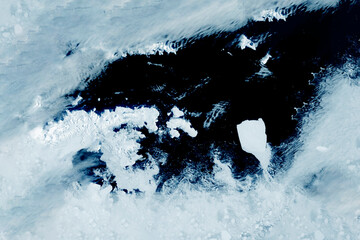
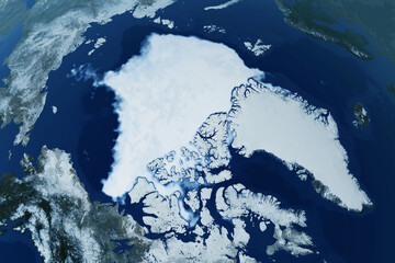
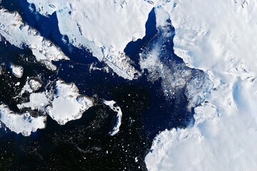
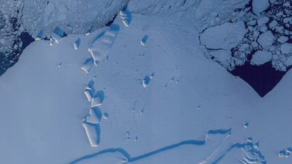
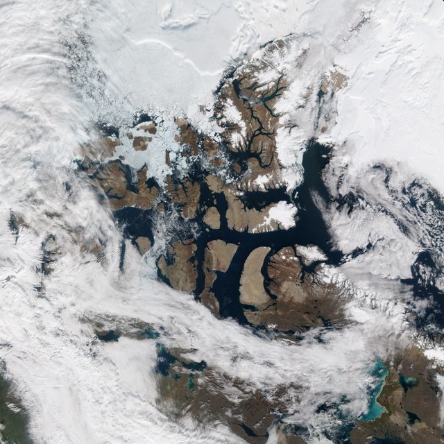
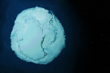
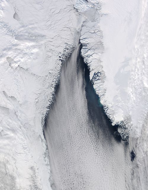
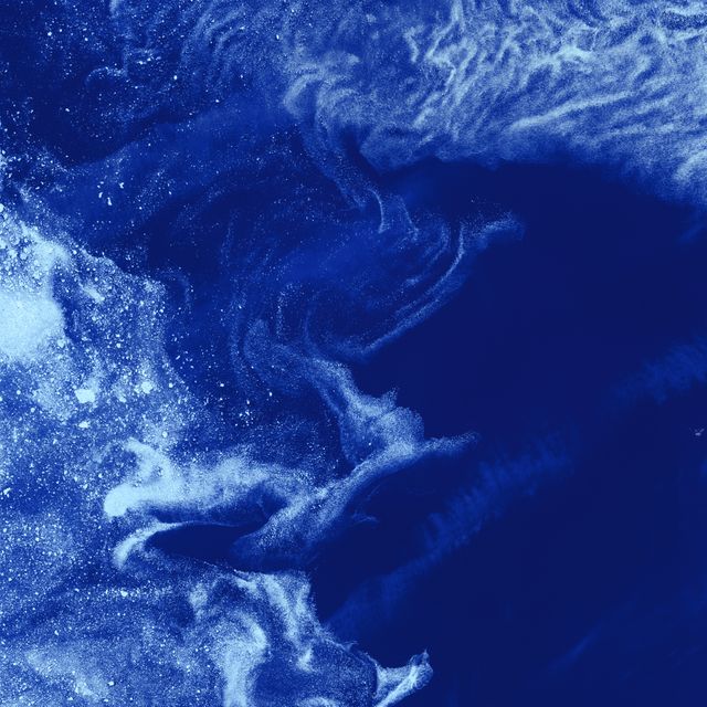
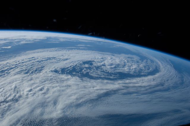
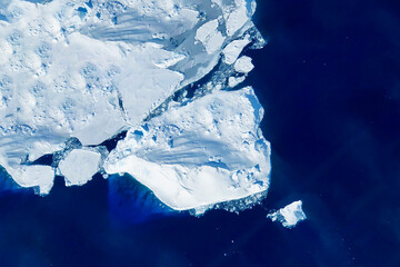
- NASA's Terra Satellite Captures Arctic Polar Ice Cap in Summer 2011
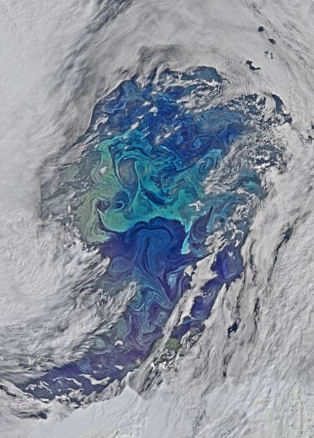
NASA's Terra Satellite Captures Arctic Polar Ice Cap in Summer 2011 Image
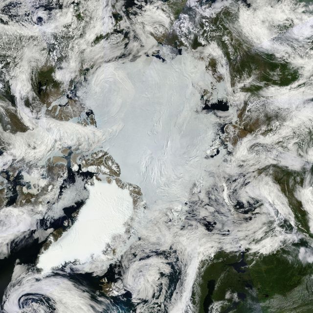
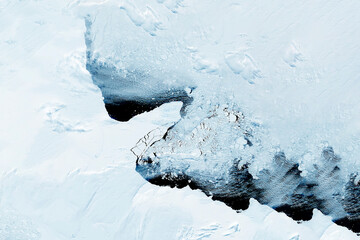
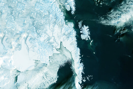
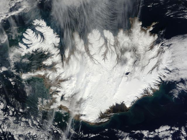
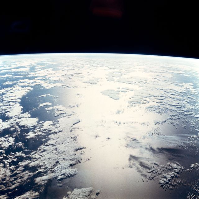
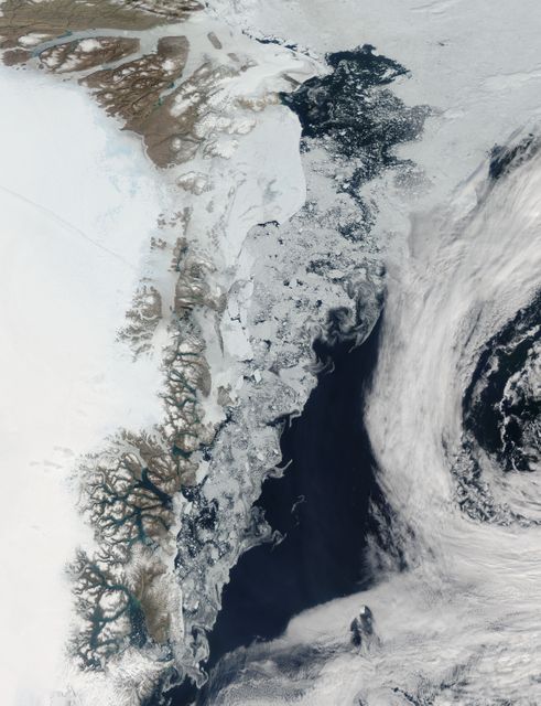
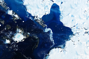
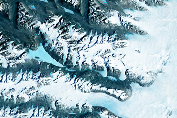
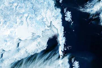
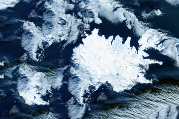
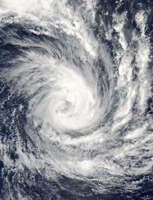
This mosaic image shows the Arctic ice and summer lands near the North Pole, captured by NASA’s Terra satellite on June 30, 2011. The blue-white polar ice cap and the bright white ice on Greenland are prominent, with billowing clouds swirling over the region. This high-definition image is useful for understanding climate patterns, studying ice melt, and observing cloud formations.
Powered by 


Credit Photo
If you would like to credit the Photo, here are some ways you can do so
Text Link
photo Link
<span class="text-link">
<span>
<a target="_blank" href=https://pikwizard.com/photo/nasas-terra-satellite-captures-arctic-polar-ice-cap-in-summer-2011/e3f4f8f8d2aaf701818295377cf4a115/>PikWizard</a>
</span>
</span>
<span class="image-link">
<span
style="margin: 0 0 20px 0; display: inline-block; vertical-align: middle; width: 100%;"
>
<a
target="_blank"
href="https://pikwizard.com/photo/nasas-terra-satellite-captures-arctic-polar-ice-cap-in-summer-2011/e3f4f8f8d2aaf701818295377cf4a115/"
style="text-decoration: none; font-size: 10px; margin: 0;"
>
<img src="https://pikwizard.com/pw/medium/e3f4f8f8d2aaf701818295377cf4a115.jpg" style="margin: 0; width: 100%;" alt="" />
<p style="font-size: 12px; margin: 0;">PikWizard</p>
</a>
</span>
</span>
CC0 (Creative Commons Zero)
Free for personal and commercial use.
Similar Free Stock Images
Loading...
Premium

Premium


Premium


Premium

Premium


Premium
Premium
Premium
Premium
Premium

Premium


Premium


Premium

Premium
Premium


Premium

Premium
Premium


Premium


Premium


Premium


Premium

Premium
Premium


Premium