- Home >
- Stock Photos >
- Nighttime Satellite View of Drilling Operations in Northwestern North Dakota
Nighttime Satellite View of Drilling Operations in Northwestern North Dakota Image
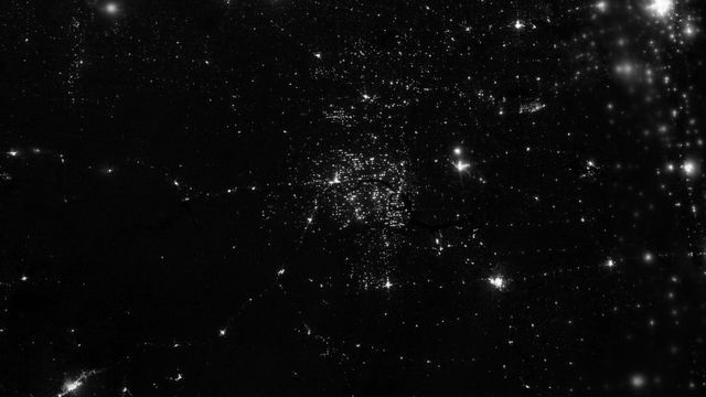
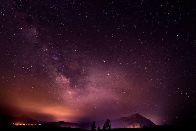
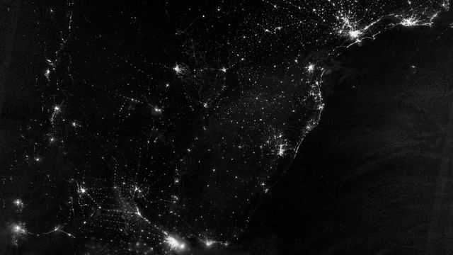
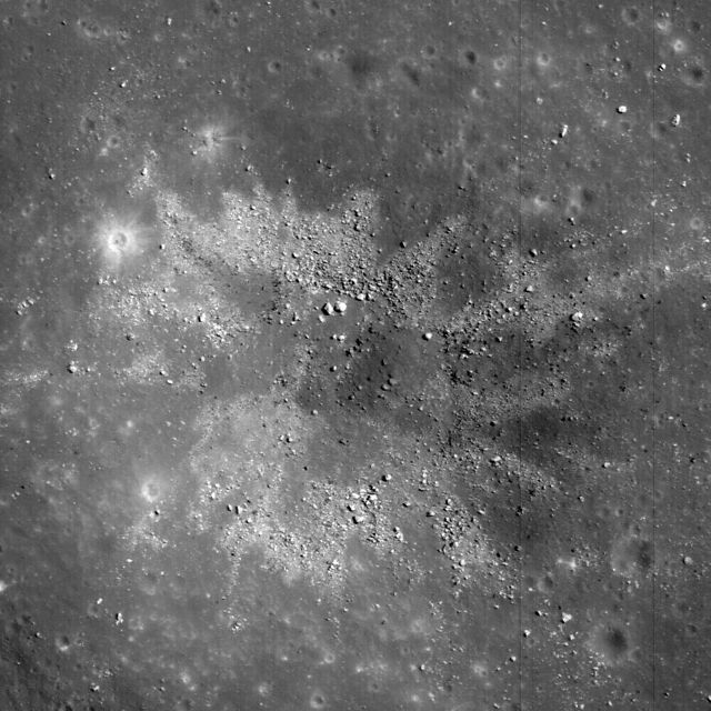
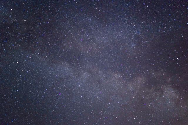
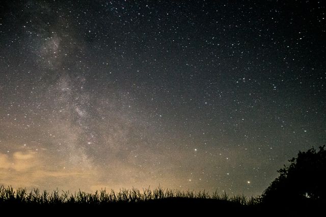
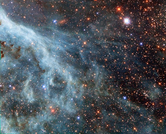
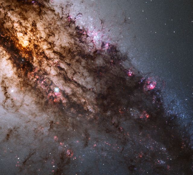
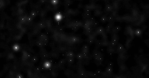
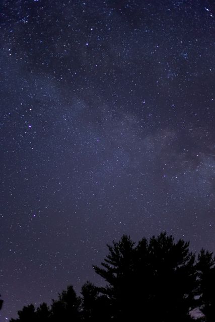
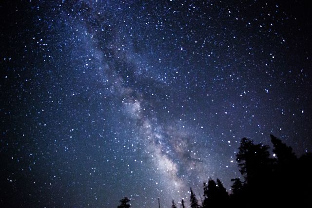
This image captures the luminous points of oil and gas drilling operations in Northwestern North Dakota, specifically those associated with the Bakken shale formation. Uses for this image include illustrating geological or energy production articles, enriching educational materials about industrial impacts on natural landscapes, and supporting research on energy infrastructure development and its environmental effects.

Credit Photo
If you would like to credit the Photo, here are some ways you can do so
Text Link
photo Link
<span class="text-link">
<span>
<a target="_blank" href=https://pikwizard.com/photo/nighttime-satellite-view-of-drilling-operations-in-northwestern-north-dakota/212b6fbbf2355941b41e0368dca1a3c5/>PikWizard</a>
</span>
</span>
<span class="image-link">
<span
style="margin: 0 0 20px 0; display: inline-block; vertical-align: middle; width: 100%;"
>
<a
target="_blank"
href="https://pikwizard.com/photo/nighttime-satellite-view-of-drilling-operations-in-northwestern-north-dakota/212b6fbbf2355941b41e0368dca1a3c5/"
style="text-decoration: none; font-size: 10px; margin: 0;"
>
<img src="https://pikwizard.com/pw/medium/212b6fbbf2355941b41e0368dca1a3c5.jpg" style="margin: 0; width: 100%;" alt="" />
<p style="font-size: 12px; margin: 0;">PikWizard</p>
</a>
</span>
</span>
CC0 (Creative Commons Zero)
Free for personal and commercial use.