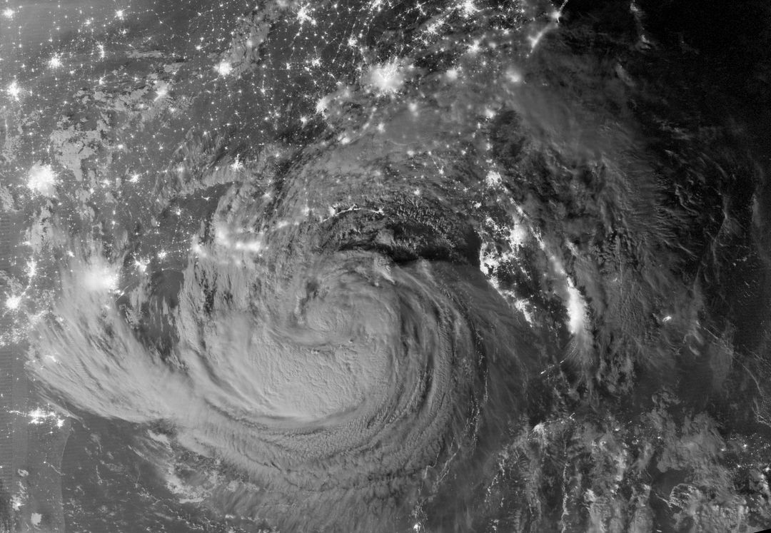
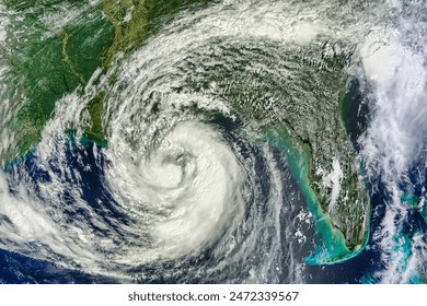
Nighttime Satellite View of Tropical Storm Isaac and Gulf Coast Cities, August 28, 2012 Image

The nighttime satellite view captured by NASA's Suomi-NPP satellite using the VIIRS instrument showcases Tropical Storm Isaac and the surrounding Gulf Coast cities in the United States. The image shows the storm clouds illuminated by moonlight just after local midnight. This image is useful for weather analysis, disaster response planning, meteorology studies, and educational resources on storm dynamics.
downloads
Credit Photo
If you would like to credit the Photo, here are some ways you can do so
CC0 (Creative Commons Zero)
Editorial Use only - Please be aware that images marked as Editorial cannot be used for commercial, promotional, advertorial or endorsement purposes. You should only use Editorial images in connection with events that are newsworthy or of (non commercial) general interest


