- Home >
- Stock Photos >
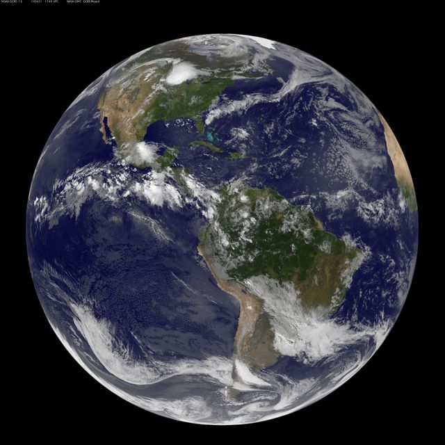
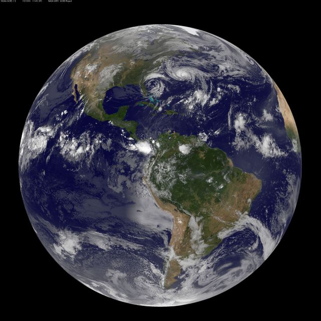
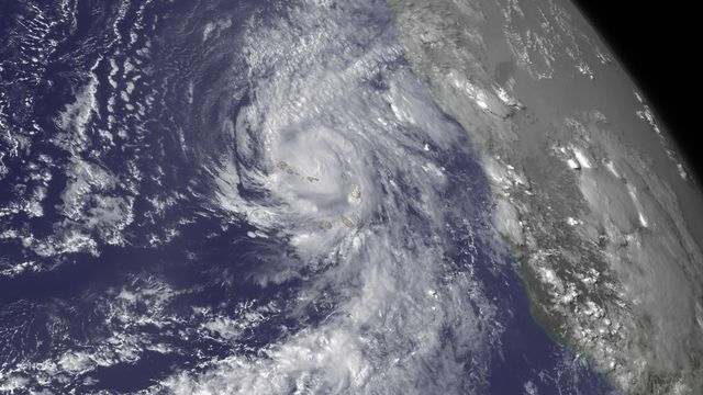
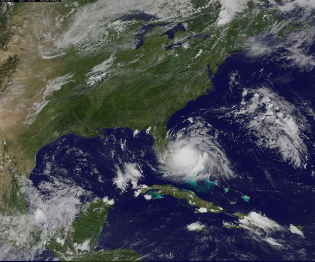
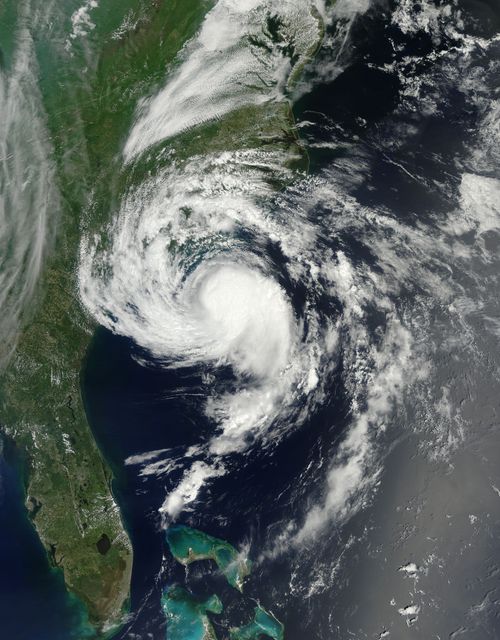
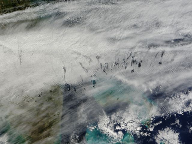
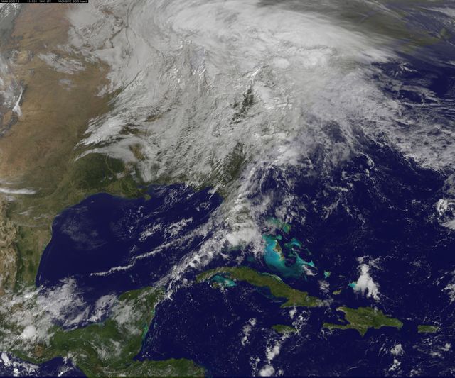
- NOAA GOES-East Satellite Image of Mid-Atlantic Showing Weather Before Moon Mission Launch
NOAA GOES-East Satellite Image of Mid-Atlantic Showing Weather Before Moon Mission Launch Image
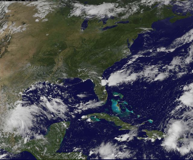
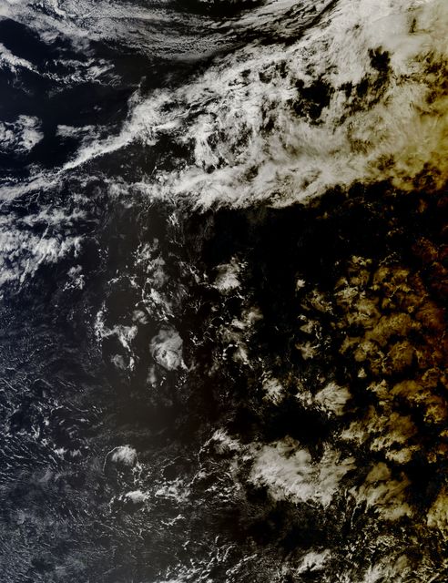
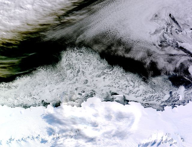
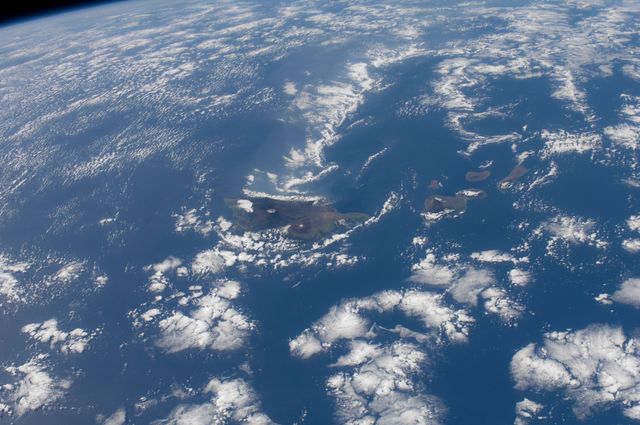
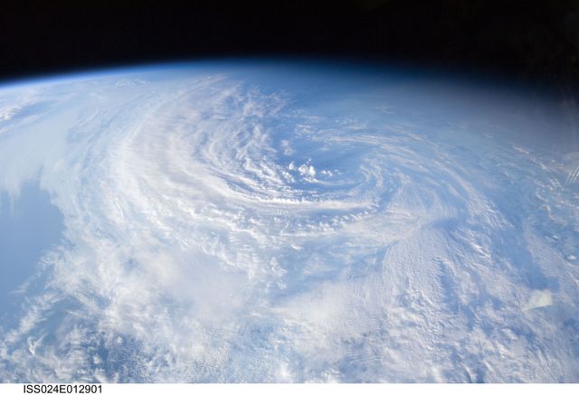
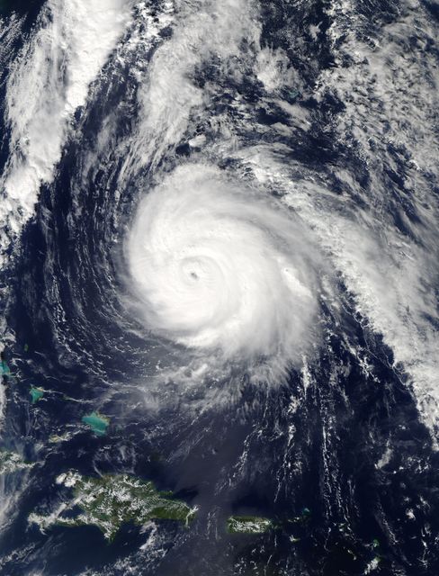
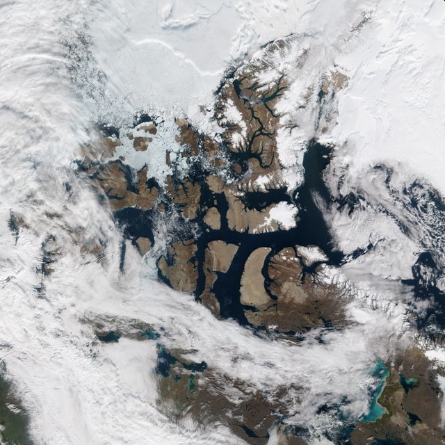
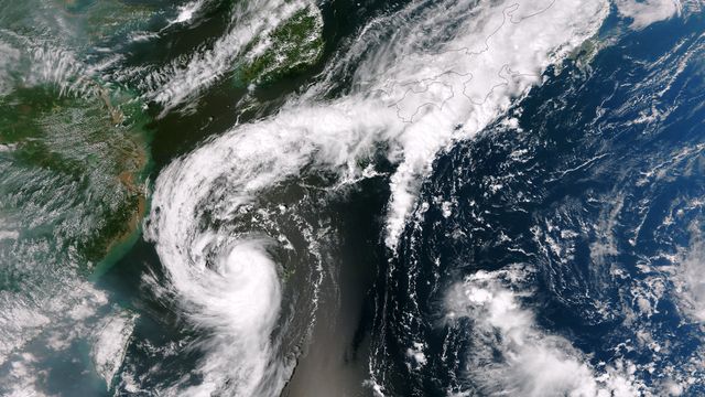
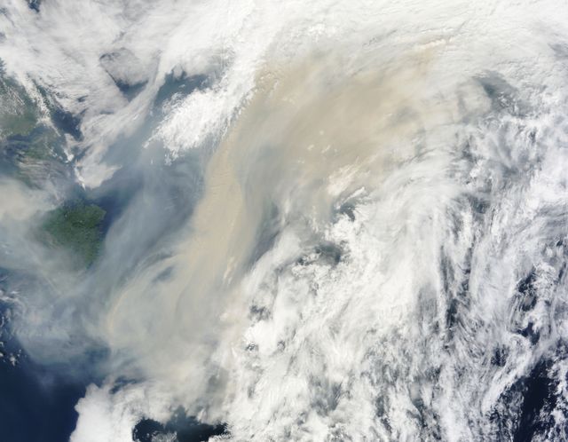
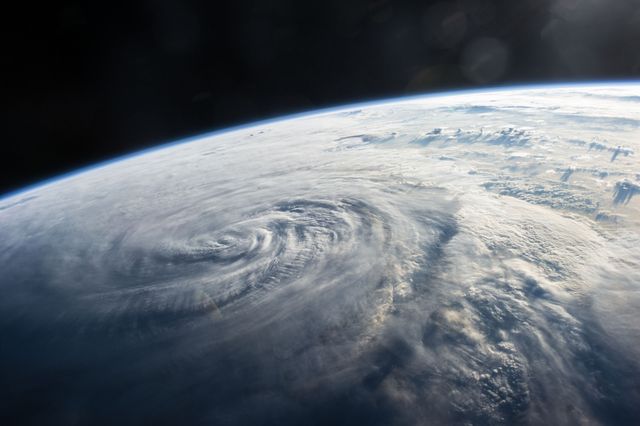
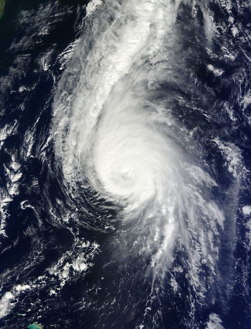
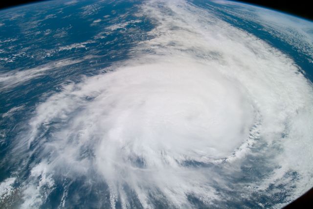
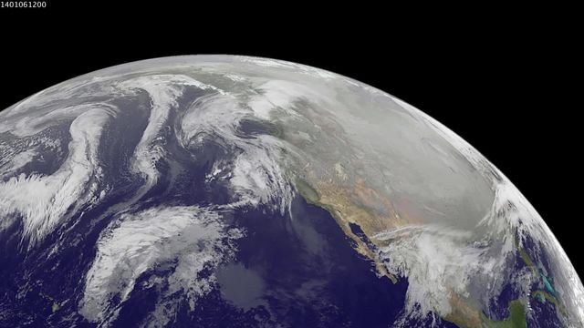
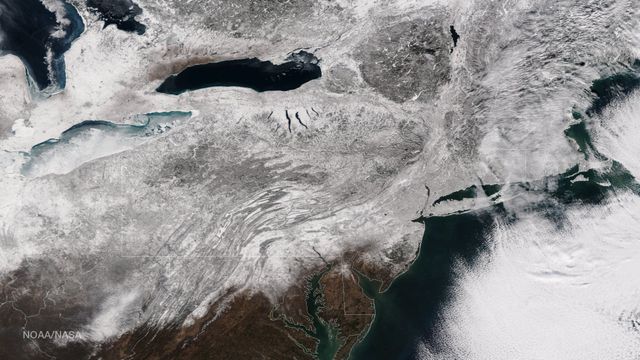
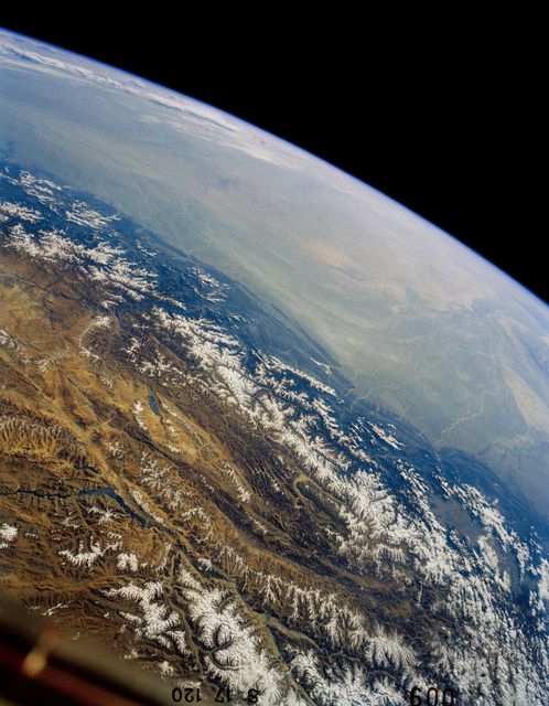
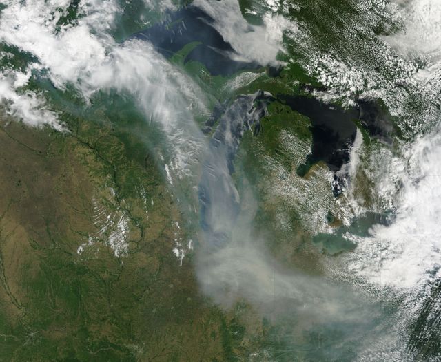
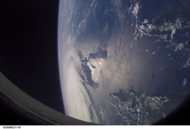
The illustration captured by NOAA’s GOES-East satellite signifies a largely cloud-free sky over the Mid-Atlantic region. Predating a significant moon mission launch from NASA's Wallops Flight Facility, this evening event receives favorable weather predictions. Ideal for usage in meteorological reports, weather forecasting, space mission articles, and educational materials relating to both earth sciences and space exploration.

Credit Photo
If you would like to credit the Photo, here are some ways you can do so
Text Link
photo Link
<span class="text-link">
<span>
<a target="_blank" href=https://pikwizard.com/photo/noaa-goes-east-satellite-image-of-mid-atlantic-showing-weather-before-moon-mission-launch/f2fbf8fd224671ee359ba5363813a3ea/>PikWizard</a>
</span>
</span>
<span class="image-link">
<span
style="margin: 0 0 20px 0; display: inline-block; vertical-align: middle; width: 100%;"
>
<a
target="_blank"
href="https://pikwizard.com/photo/noaa-goes-east-satellite-image-of-mid-atlantic-showing-weather-before-moon-mission-launch/f2fbf8fd224671ee359ba5363813a3ea/"
style="text-decoration: none; font-size: 10px; margin: 0;"
>
<img src="https://pikwizard.com/pw/medium/f2fbf8fd224671ee359ba5363813a3ea.jpg" style="margin: 0; width: 100%;" alt="" />
<p style="font-size: 12px; margin: 0;">PikWizard</p>
</a>
</span>
</span>
CC0 (Creative Commons Zero)
Free for personal and commercial use.