- Home >
- Stock Photos >
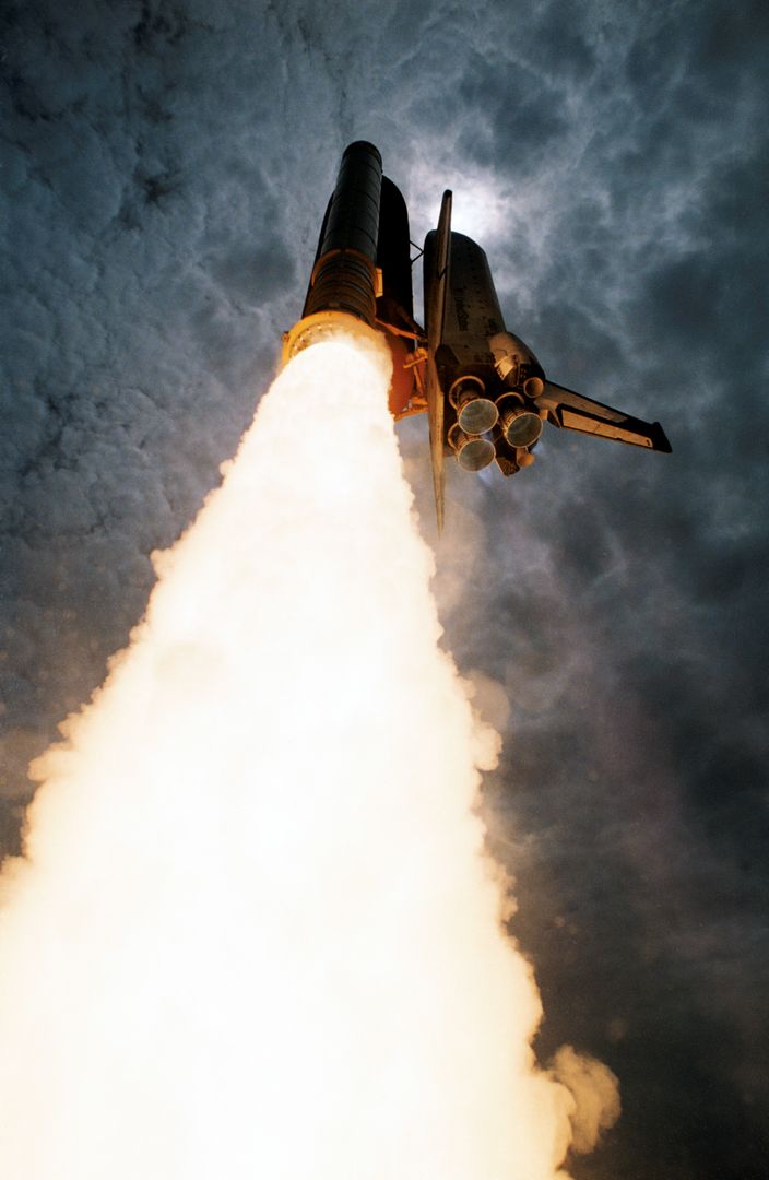
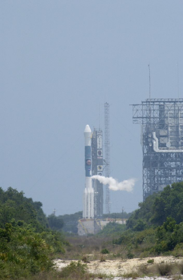
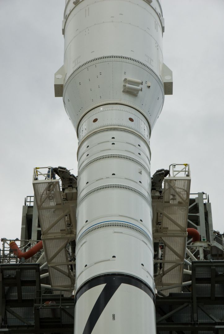
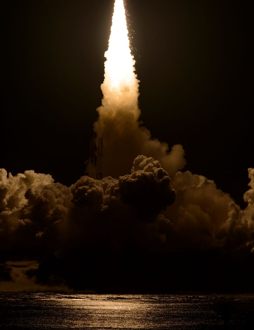
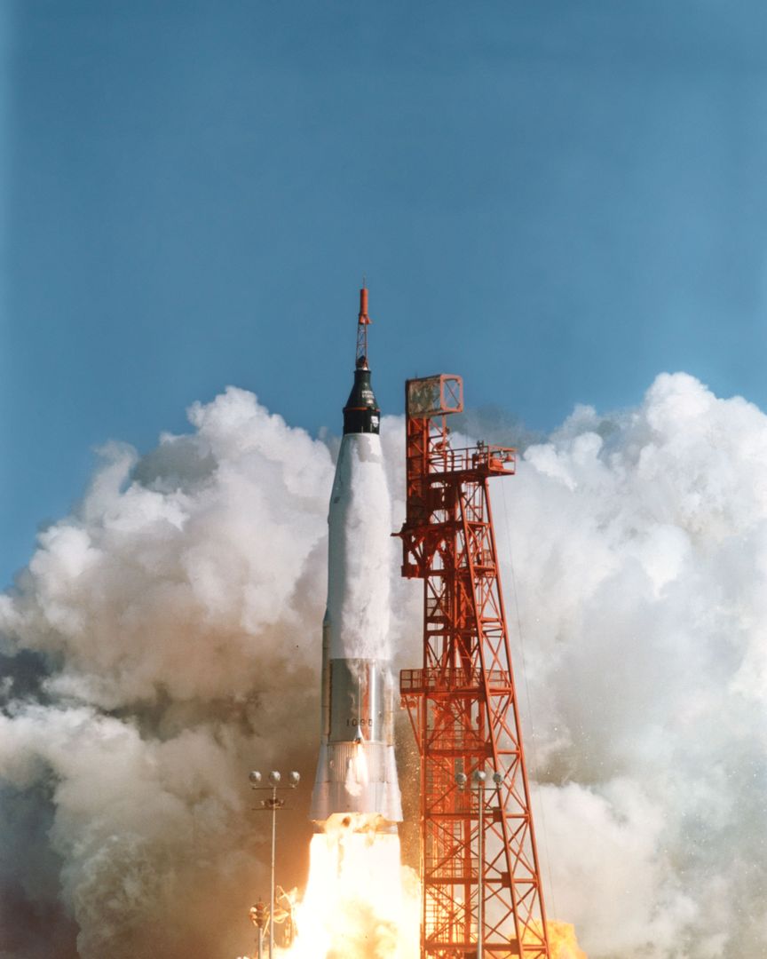
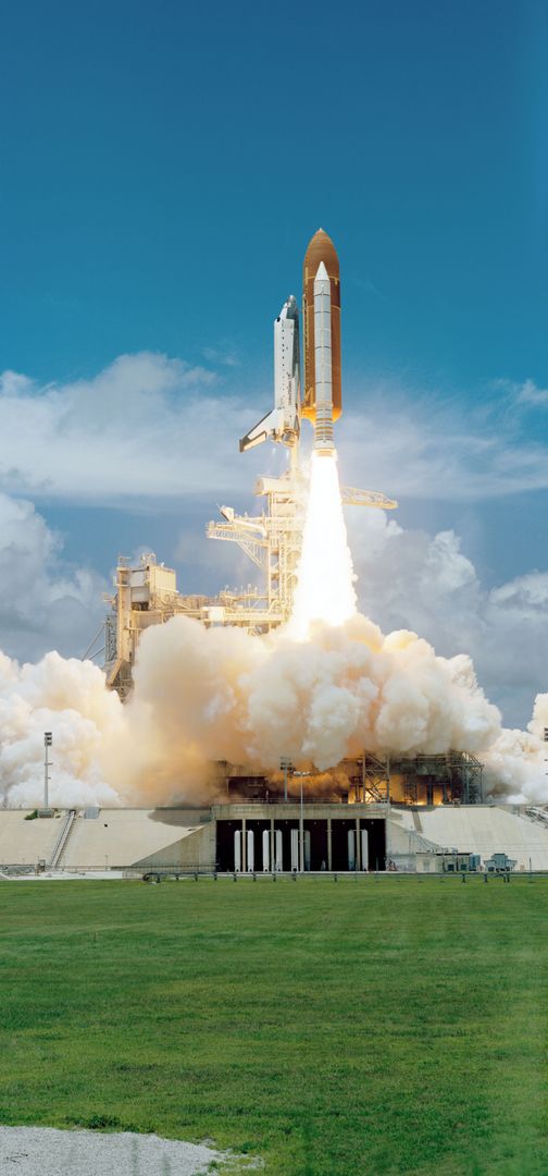
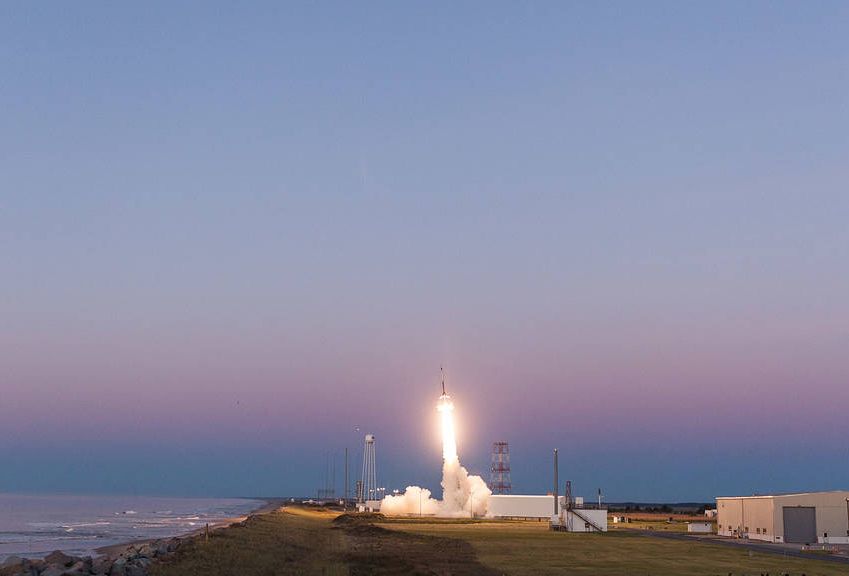
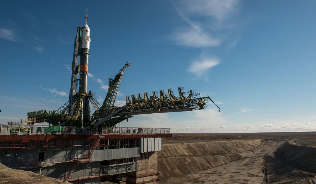
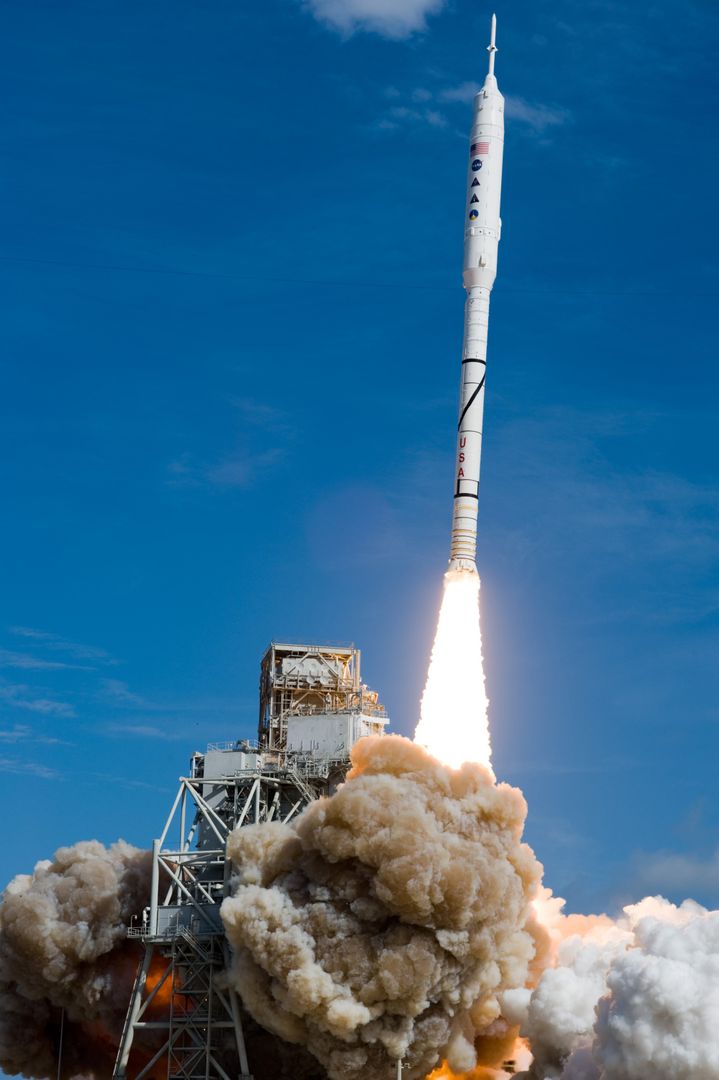
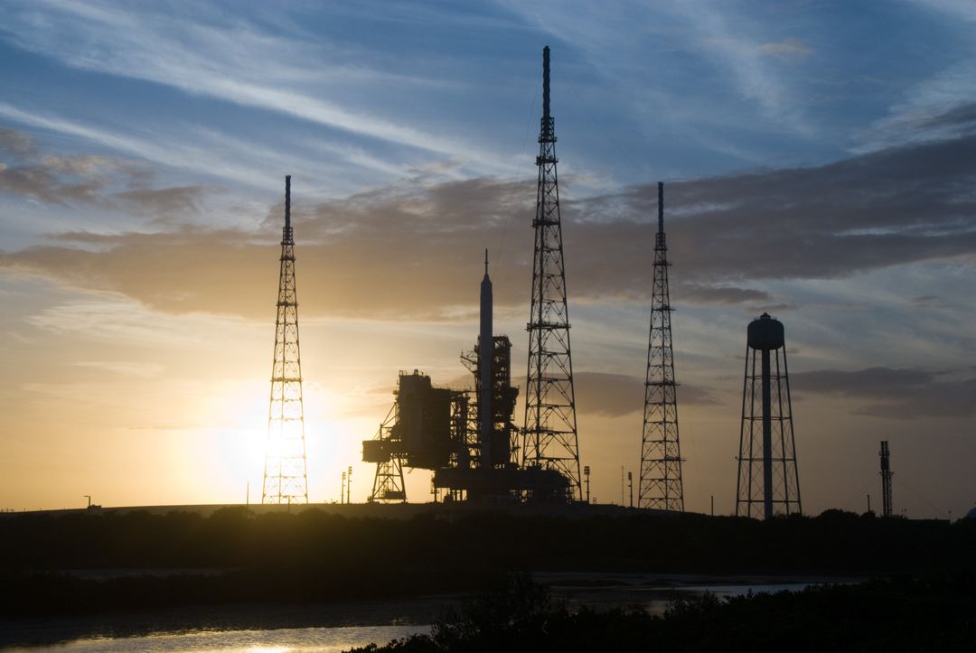
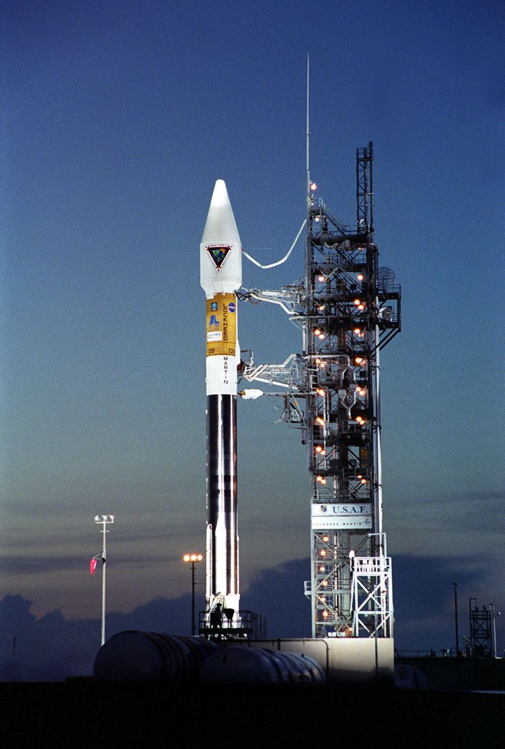
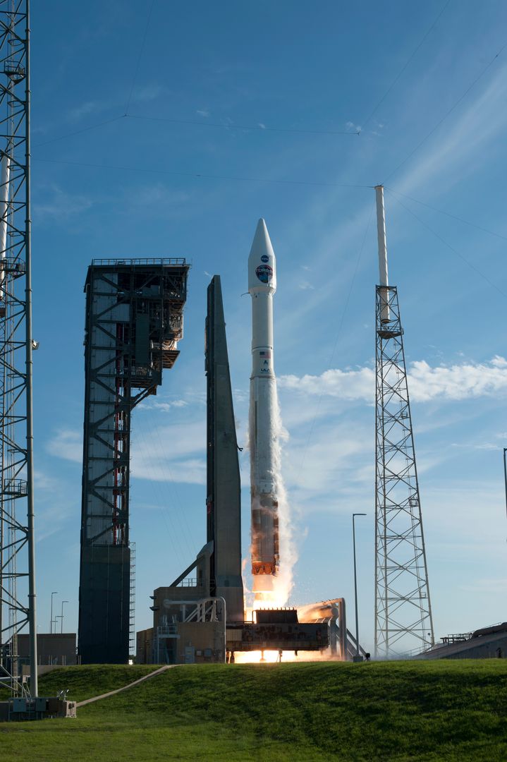
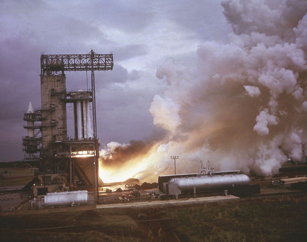
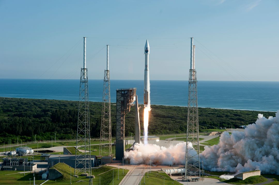
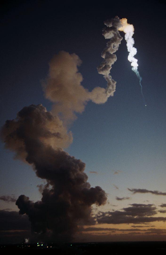
- NOAA-M Satellite Launching Above Cloud Layer in Vandenberg
NOAA-M Satellite Launching Above Cloud Layer in Vandenberg Image
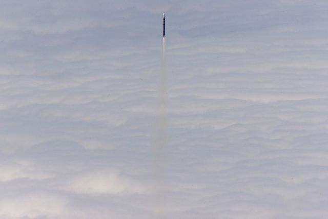
Weather forecasting agencies, educational materials on satellite technology and space launches, publications discussing climate and atmospheric studies, video documentaries on environmental observation satellites, news articles highlighting technological advances in space exploration.

Credit Photo
If you would like to credit the Photo, here are some ways you can do so
Text Link
photo Link
<span class="text-link">
<span>
<a target="_blank" href=https://pikwizard.com/photo/noaa-m-satellite-launching-above-cloud-layer-in-vandenberg/e94b8ba43c9cb21387147c41e2b047b0/>PikWizard</a>
</span>
</span>
<span class="image-link">
<span
style="margin: 0 0 20px 0; display: inline-block; vertical-align: middle; width: 100%;"
>
<a
target="_blank"
href="https://pikwizard.com/photo/noaa-m-satellite-launching-above-cloud-layer-in-vandenberg/e94b8ba43c9cb21387147c41e2b047b0/"
style="text-decoration: none; font-size: 10px; margin: 0;"
>
<img src="https://pikwizard.com/pw/medium/e94b8ba43c9cb21387147c41e2b047b0.jpg" style="margin: 0; width: 100%;" alt="" />
<p style="font-size: 12px; margin: 0;">PikWizard</p>
</a>
</span>
</span>
CC0 (Creative Commons Zero)
Free for personal and commercial use.
Similar Free Stock Images