- Home >
- Stock Photos >
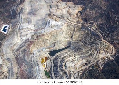
- Open Pit Copper Mines in Southern Arizona Captured by ASTER Satellite
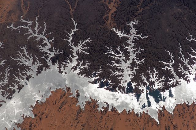
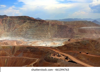
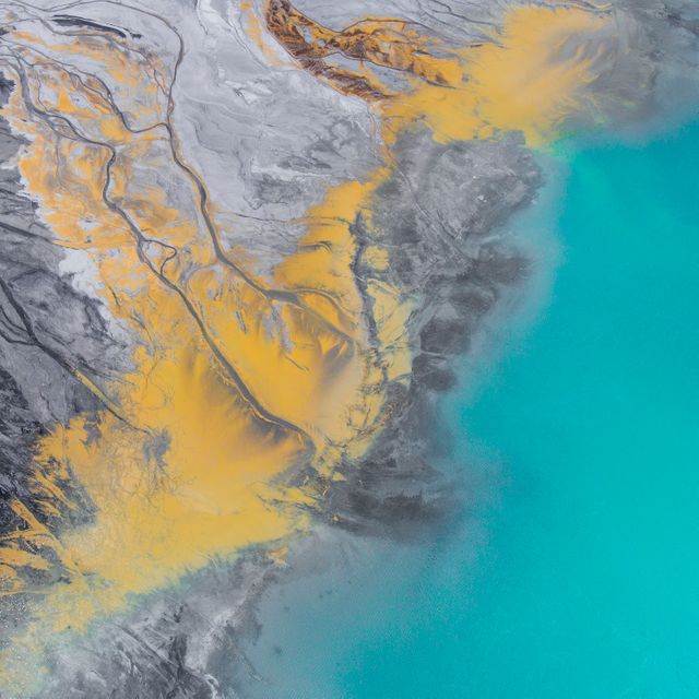
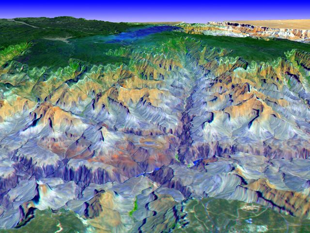
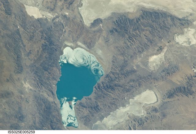
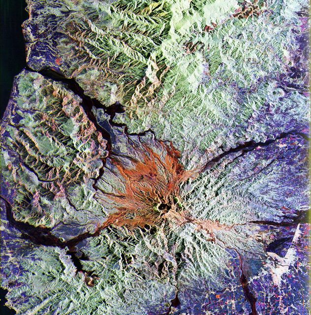
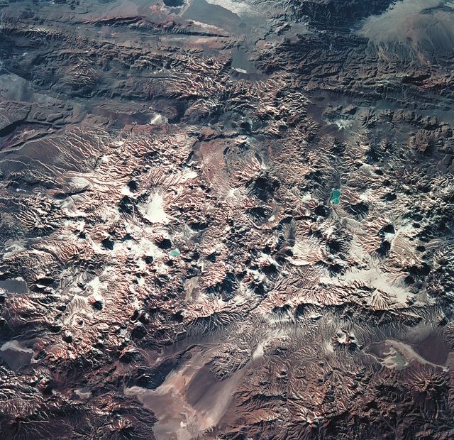
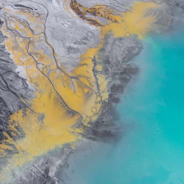
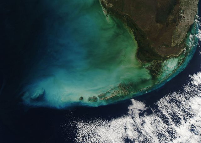
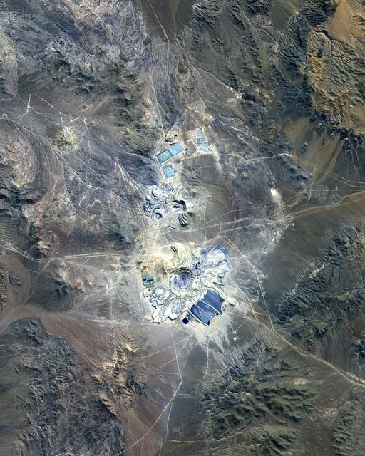
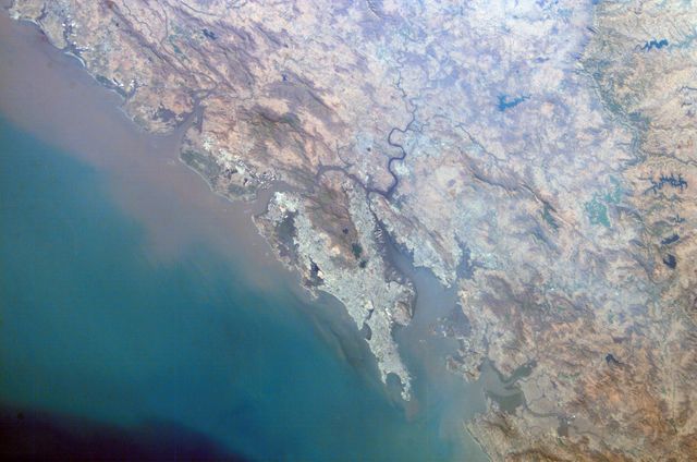
Open Pit Copper Mines in Southern Arizona Captured by ASTER Satellite Image
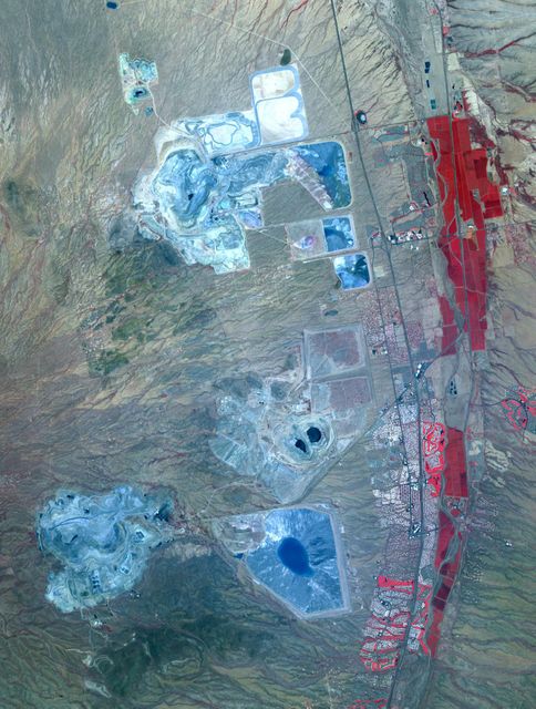
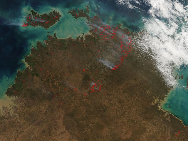
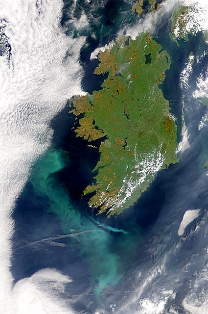
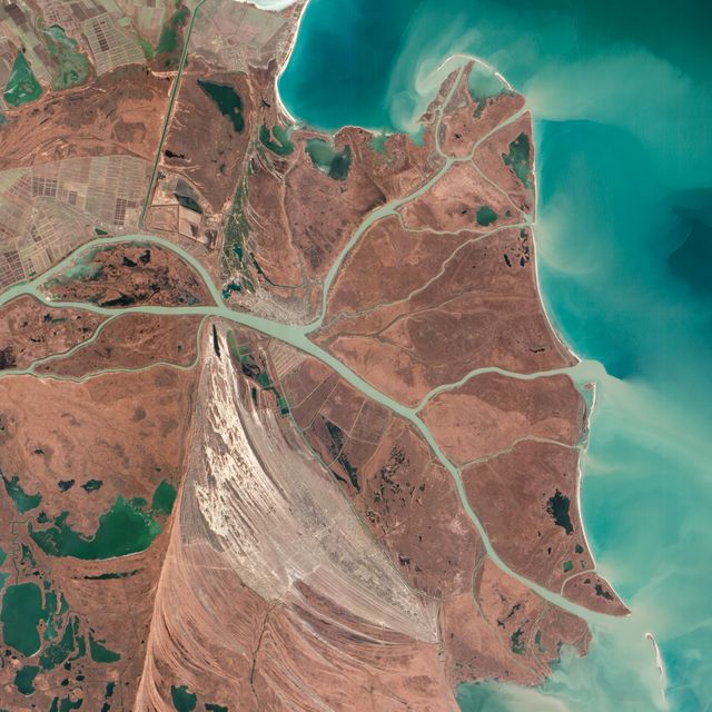
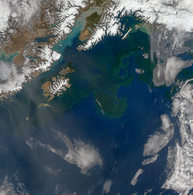
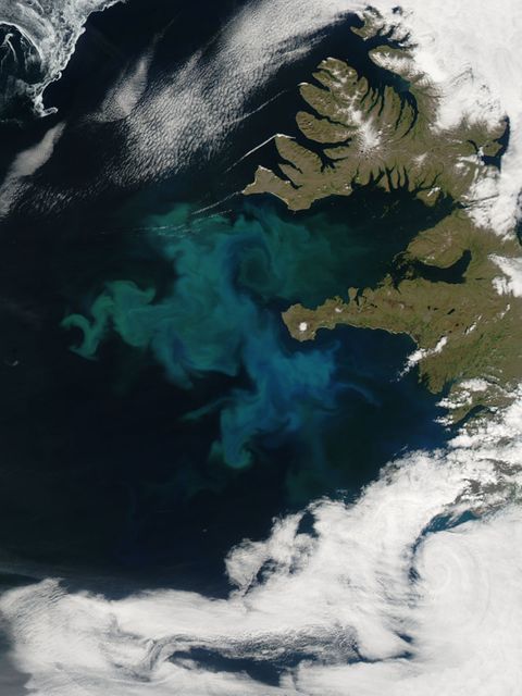
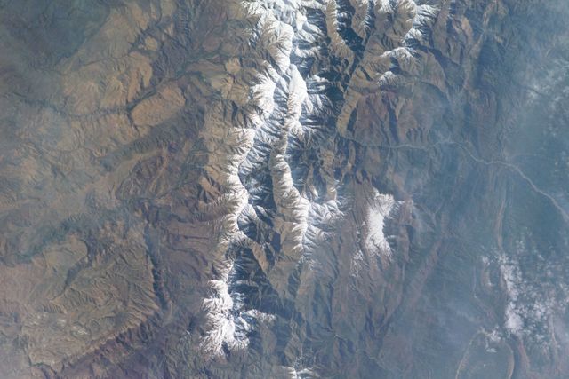
High-resolution satellite image displays several major mining districts approximately 30 km south of Tucson, Arizona, visible with distinct pit mines, leach ponds, and tailings piles. Photo taken by ASTER on May 31, 2012, covers 22 by 28 km area, coordinates 31.9N, 111W. Ideal for studies on resource extraction, earth's surface monitoring, environmental impact analysis, educational content on mining activities, and visual illustrations for geographic, geological seminars.
Powered by  - Get 15% off with code: PIKWIZARD15


Credit Photo
If you would like to credit the Photo, here are some ways you can do so
Text Link
photo Link
<span class="text-link">
<span>
<a target="_blank" href=https://pikwizard.com/photo/open-pit-copper-mines-in-southern-arizona-captured-by-aster-satellite/6cceecc68f44ed29d63505435078ae4d/>PikWizard</a>
</span>
</span>
<span class="image-link">
<span
style="margin: 0 0 20px 0; display: inline-block; vertical-align: middle; width: 100%;"
>
<a
target="_blank"
href="https://pikwizard.com/photo/open-pit-copper-mines-in-southern-arizona-captured-by-aster-satellite/6cceecc68f44ed29d63505435078ae4d/"
style="text-decoration: none; font-size: 10px; margin: 0;"
>
<img src="https://pikwizard.com/pw/medium/6cceecc68f44ed29d63505435078ae4d.jpg" style="margin: 0; width: 100%;" alt="" />
<p style="font-size: 12px; margin: 0;">PikWizard</p>
</a>
</span>
</span>
CC0 (Creative Commons Zero)
Free for personal and commercial use.
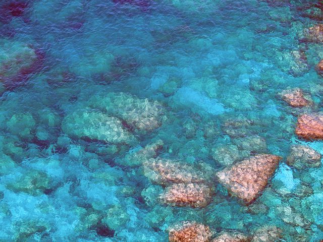
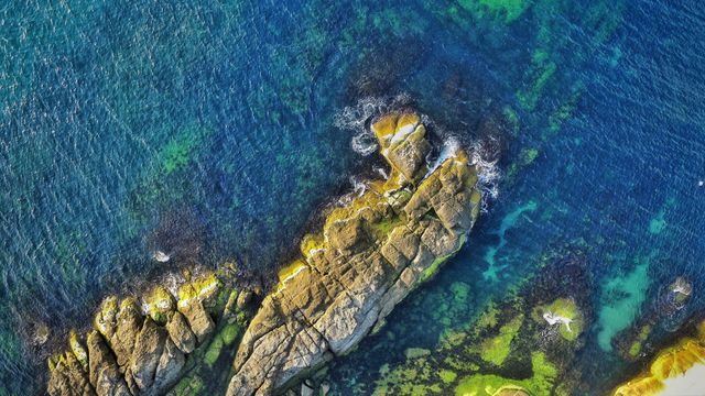
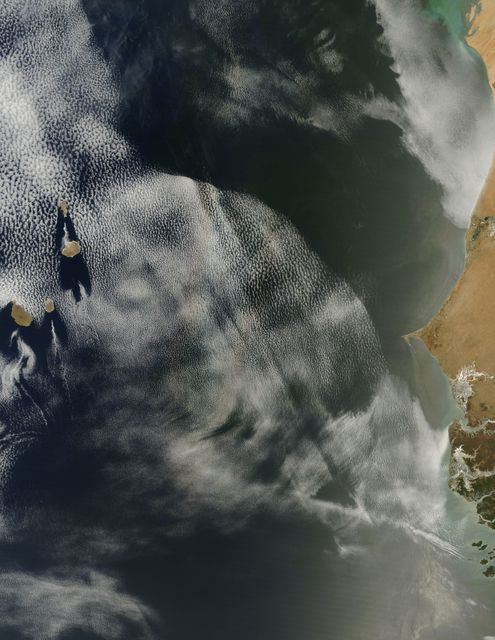
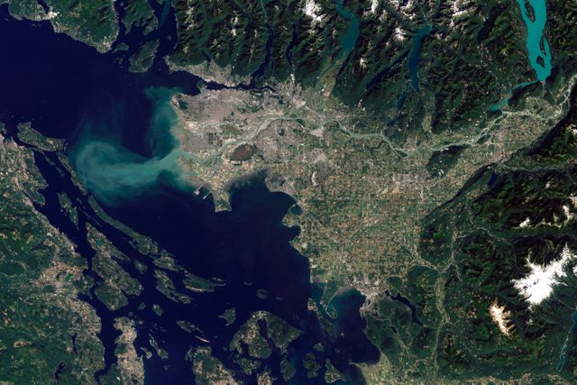
Similar Free Stock Images
Loading...
Premium

Premium

Premium


Premium


Premium


Premium


Premium


Premium
Premium

Premium

Premium

Premium

Premium


Premium


Premium

Premium


Premium


Premium

Premium


Premium


Premium
Premium

Premium

Premium

Premium