- Home >
- Stock Photos >
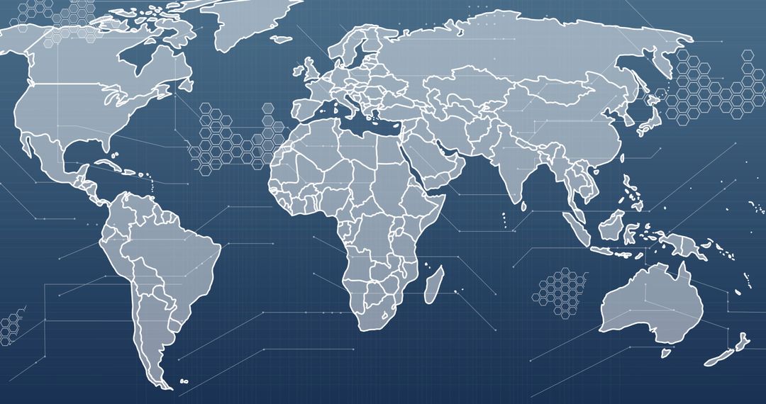
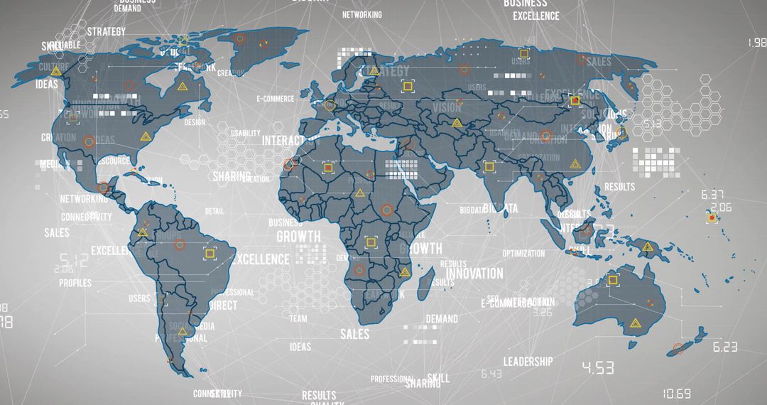
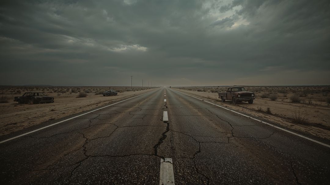
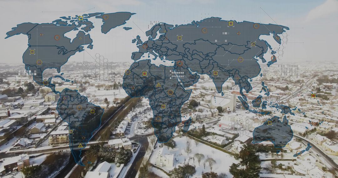
- Road Merging with Global Network Concept Overlay
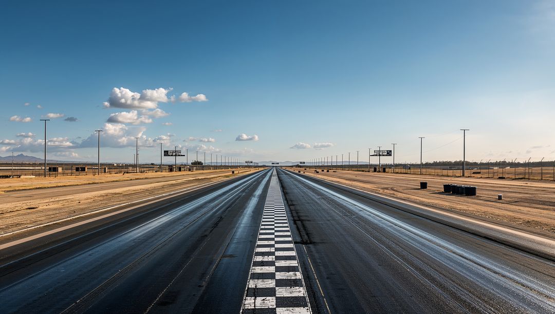
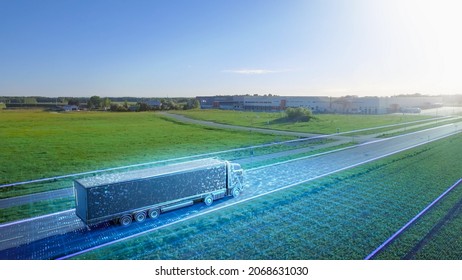
Road Merging with Global Network Concept Overlay Image
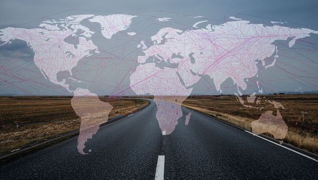
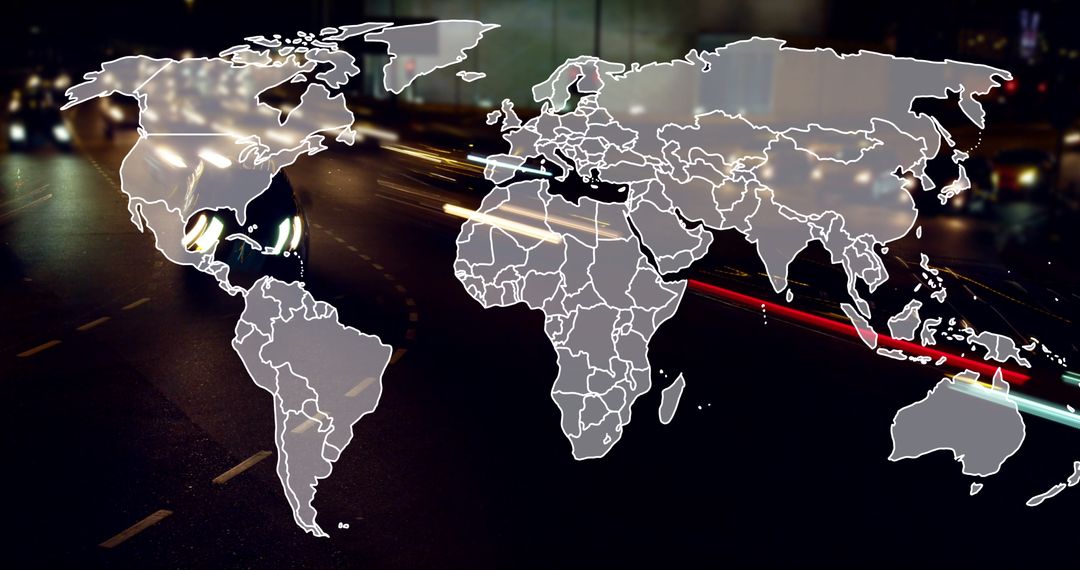
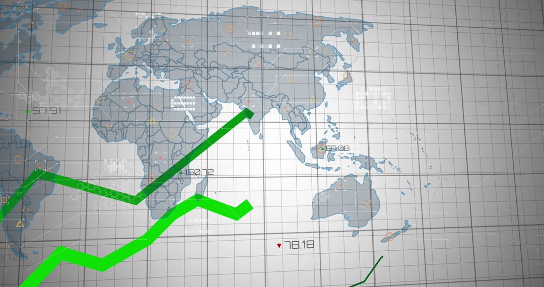
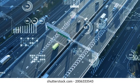
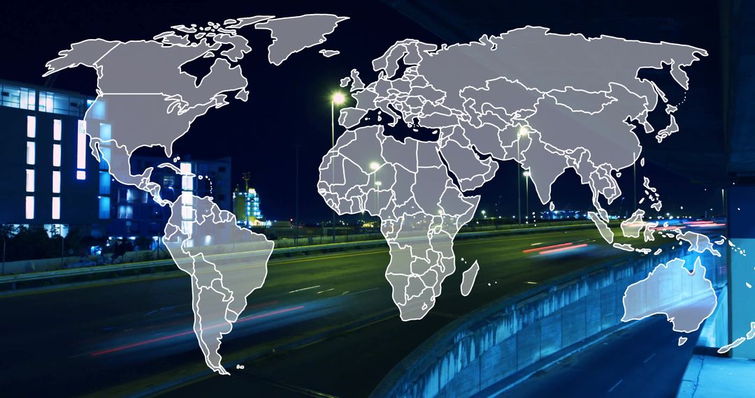
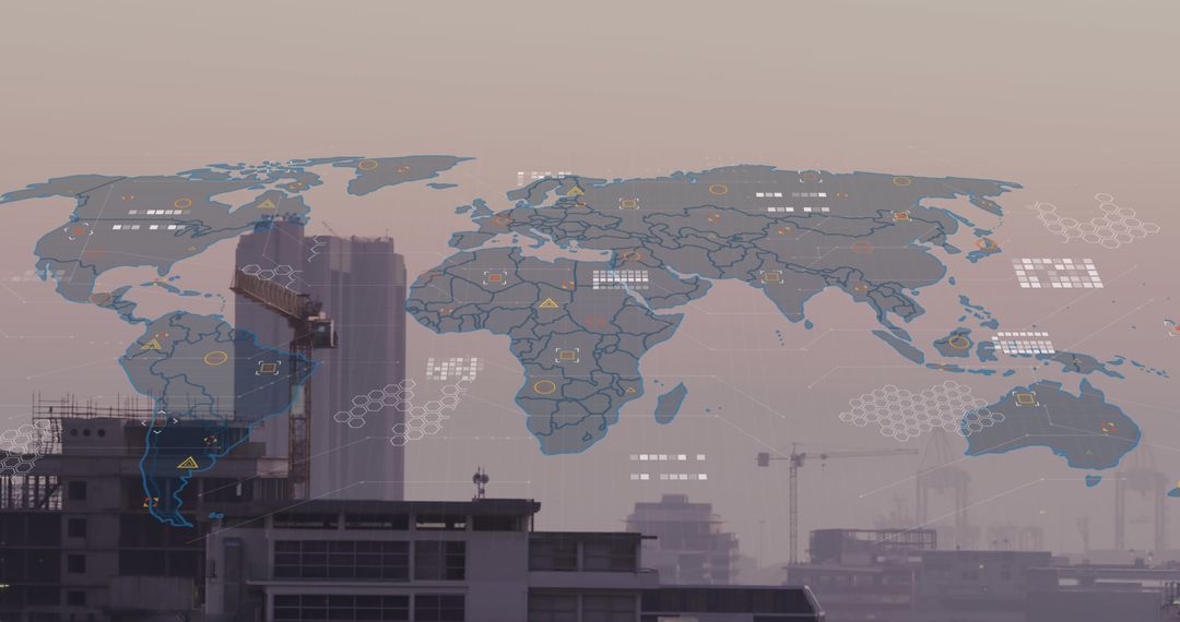
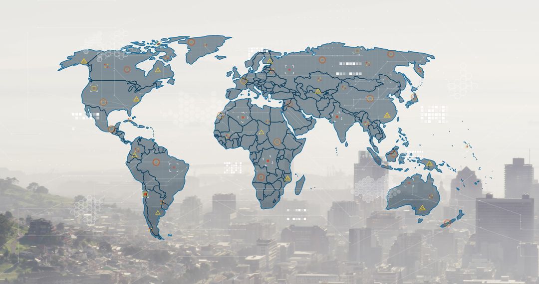
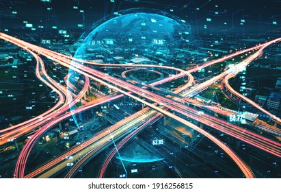
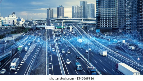
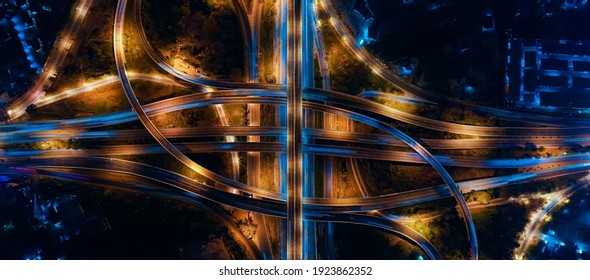
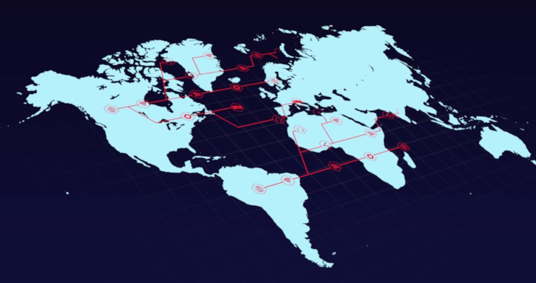
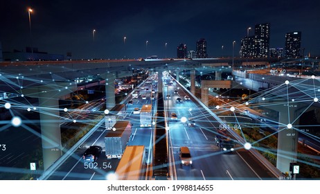
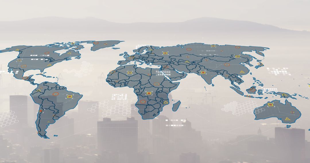
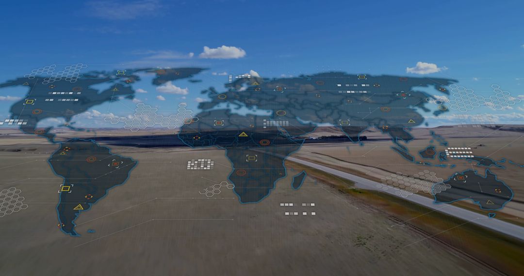
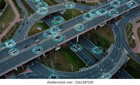
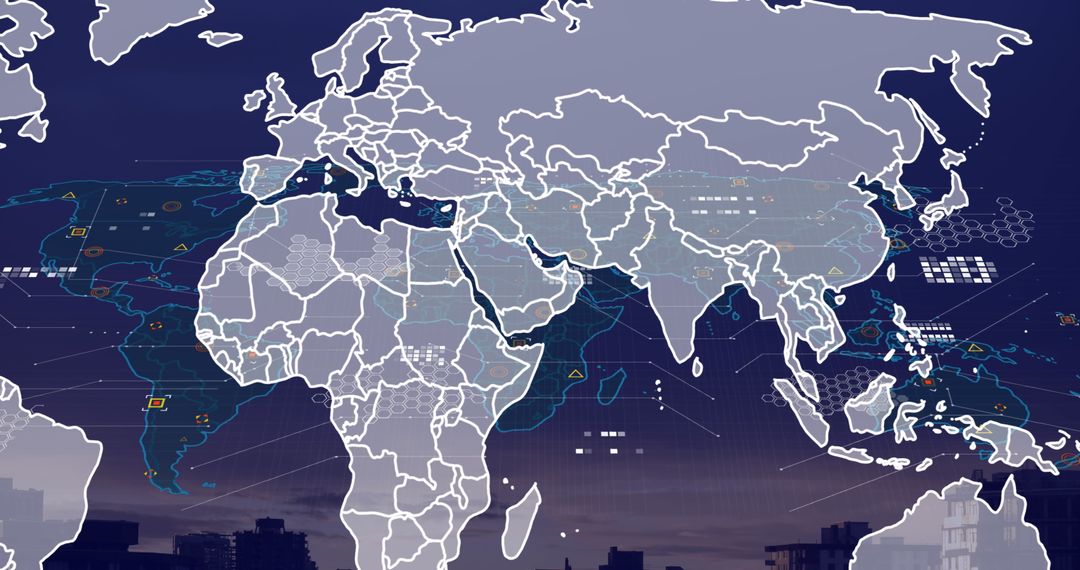
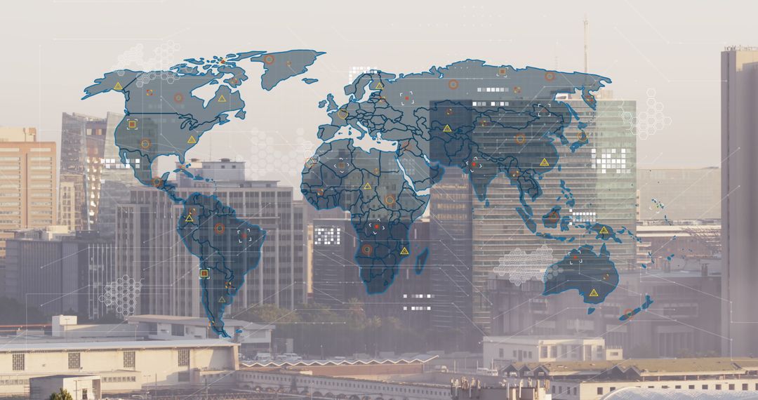
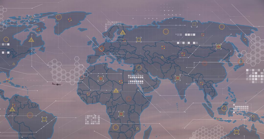
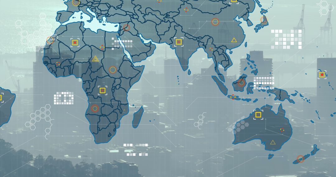
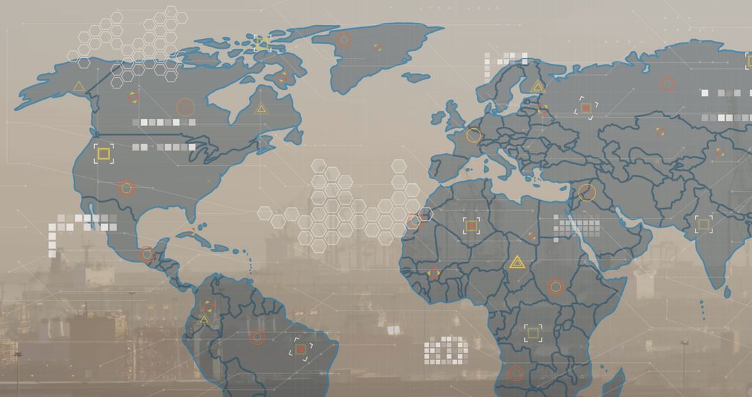
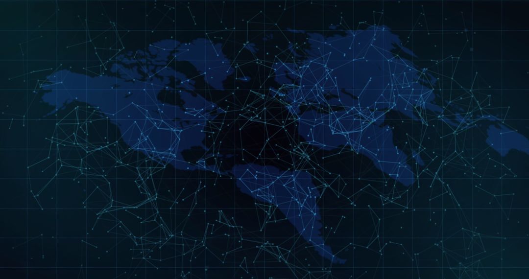
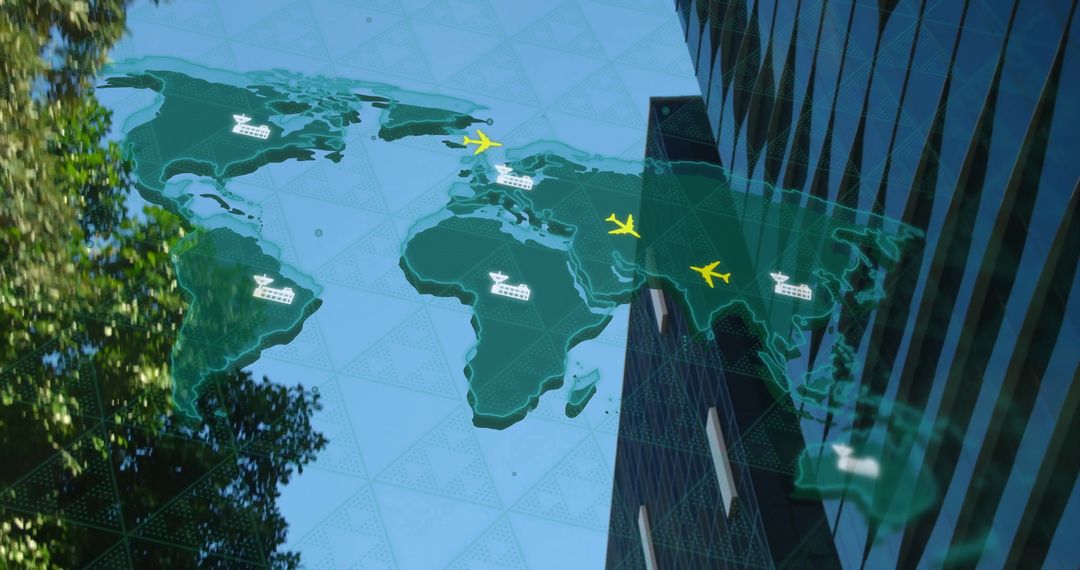
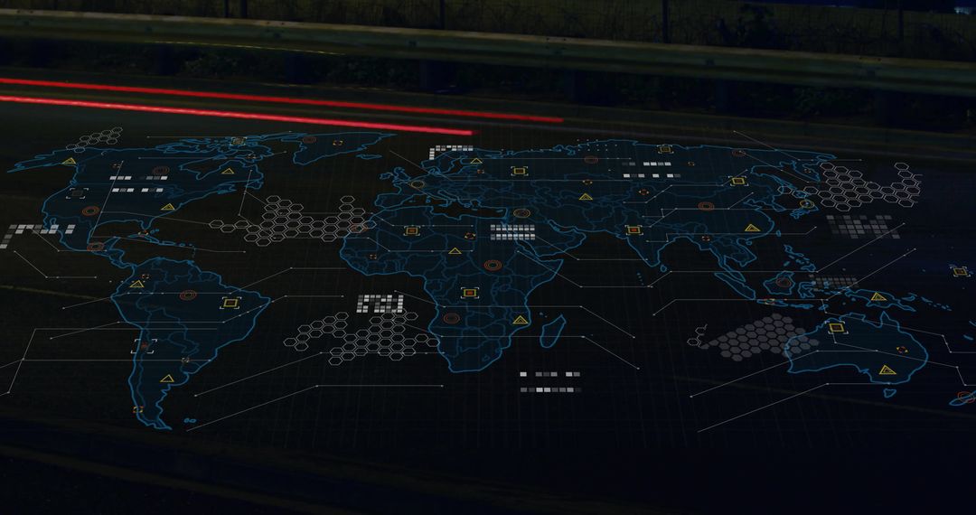
AI Generated Image. The image shows a long asphalt road extending into the distance across plains, overlaid with a transparent map illustrating a global network. This concept suggests connectivity and infrastructure, ideal for themes related to transportation, global planning, technological integration, or international logistics strategies. Great for use in presentations or articles on global communications, transport networks, and infrastructure planning.
Powered by  - Get 15% off with code: PIKWIZARD15


0
downloads
downloads
Tags:
More
Credit Photo
If you would like to credit the Photo, here are some ways you can do so
Text Link
photo Link
<span class="text-link">
<span>
<a target="_blank" href=https://pikwizard.com/photo/road-merging-with-global-network-concept-overlay/055e4f2a794f39697263c1aeaed05e6c/>PikWizard</a>
</span>
</span>
<span class="image-link">
<span
style="margin: 0 0 20px 0; display: inline-block; vertical-align: middle; width: 100%;"
>
<a
target="_blank"
href="https://pikwizard.com/photo/road-merging-with-global-network-concept-overlay/055e4f2a794f39697263c1aeaed05e6c/"
style="text-decoration: none; font-size: 10px; margin: 0;"
>
<img src="https://pikwizard.com/pw/medium/055e4f2a794f39697263c1aeaed05e6c.jpg" style="margin: 0; width: 100%;" alt="" />
<p style="font-size: 12px; margin: 0;">PikWizard</p>
</a>
</span>
</span>
Free (free of charge)
Free for personal and commercial use.
Author: AI Creator
Similar Free Stock Images

Premium


Premium


Premium
Premium


Premium


Premium


Premium


Premium


Premium


Premium


Premium


Premium


Premium


Premium


Premium


Premium


Premium

Premium


Premium


Premium


Premium


Premium

Premium

Premium