- Home >
- Stock Photos >
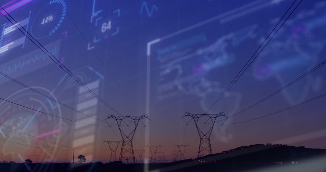
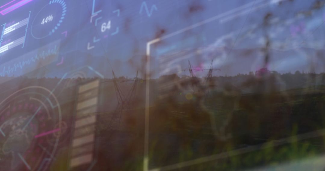
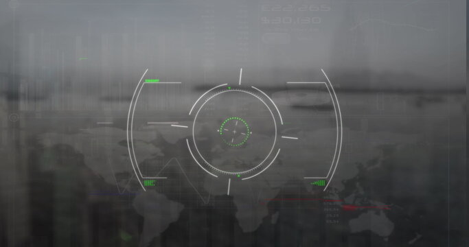
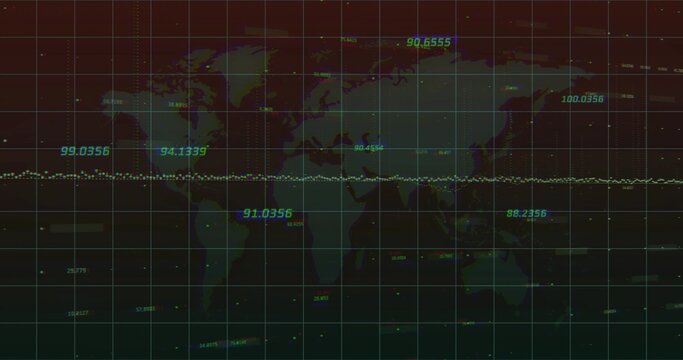
- Rural Hillside Blending with Futuristic HUD World Map Overlay for Geospatial Concept
Rural Hillside Blending with Futuristic HUD World Map Overlay for Geospatial Concept Image

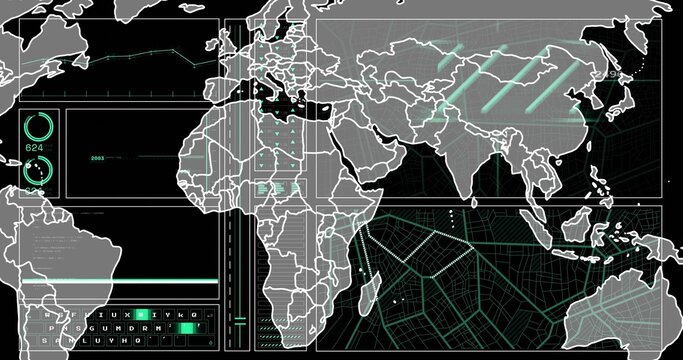
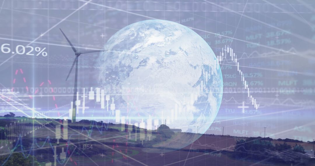
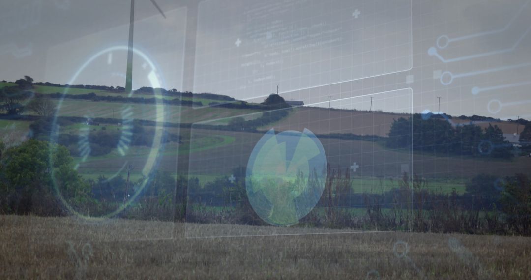
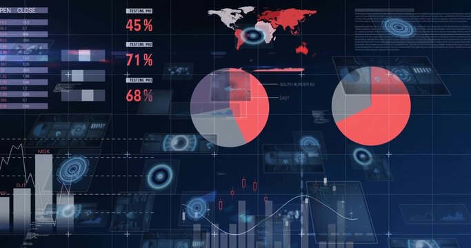
Showing grassy hillside and low trees on horizon under overcast sky, translucent HUD world map overlay floating across scene. Composition blending rural landscape with futuristic digital interface, conveying contrast between natural environment and global data systems. Ideal for technology presentations, geospatial analysis projects, environmental monitoring campaigns, augmented reality concept art, website hero banners, and editorial stories about satellite mapping or rural connectivity. Providing generous negative space in upper area for headline, logo, or call to action. Muted green and cool blue palette allowing overlay text and graphics to remain readable. Delivering modern visual metaphor for data-driven agriculture, remote sensing dashboards, mapping platforms, or smart rural infrastructure. Suitable for print and digital use including banners, slide decks, reports, blog posts, and social media visuals.
Powered by 


0
downloads
downloads
Tags:
More
Credit Photo
If you would like to credit the Photo, here are some ways you can do so
Text Link
photo Link
<span class="text-link">
<span>
<a target="_blank" href=https://pikwizard.com/photo/rural-hillside-blending-with-futuristic-hud-world-map-overlay-for-geospatial-concept/18400c46599bb18f595a25faa682821f/>PikWizard</a>
</span>
</span>
<span class="image-link">
<span
style="margin: 0 0 20px 0; display: inline-block; vertical-align: middle; width: 100%;"
>
<a
target="_blank"
href="https://pikwizard.com/photo/rural-hillside-blending-with-futuristic-hud-world-map-overlay-for-geospatial-concept/18400c46599bb18f595a25faa682821f/"
style="text-decoration: none; font-size: 10px; margin: 0;"
>
<img src="https://pikwizard.com/pw/medium/18400c46599bb18f595a25faa682821f.jpg" style="margin: 0; width: 100%;" alt="" />
<p style="font-size: 12px; margin: 0;">PikWizard</p>
</a>
</span>
</span>
Free (free of charge)
Free for personal and commercial use.
Author: People Creations
Similar Free Stock Images

Premium