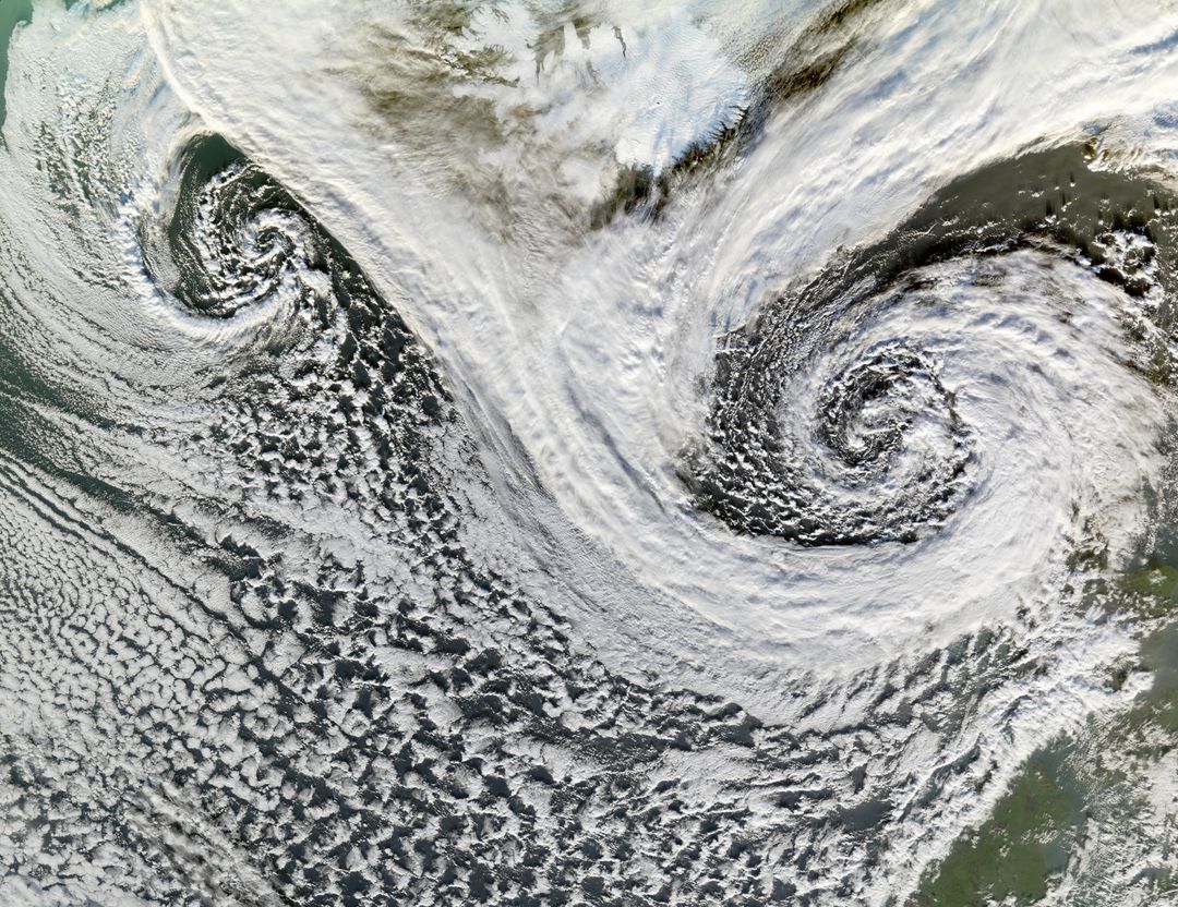
Satellite Image of Twin Cyclones South of Iceland, November 20, 2006 Image

Impressive satellite image showing twin cyclones south of Iceland taken on November 20, 2006, by NASA's Terra satellite. Visible cloud formations demonstrate characteristic spiraling patterns of cyclones, which influence global weather. Ideal for educational materials, meteorological studies, and weather illustrations.
downloads
Credit Photo
If you would like to credit the Photo, here are some ways you can do so
CC0 (Creative Commons Zero)
Free for personal and commercial use.


