- Home >
- Stock Photos >
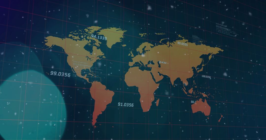
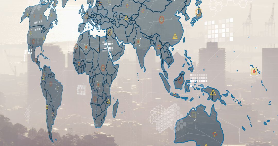
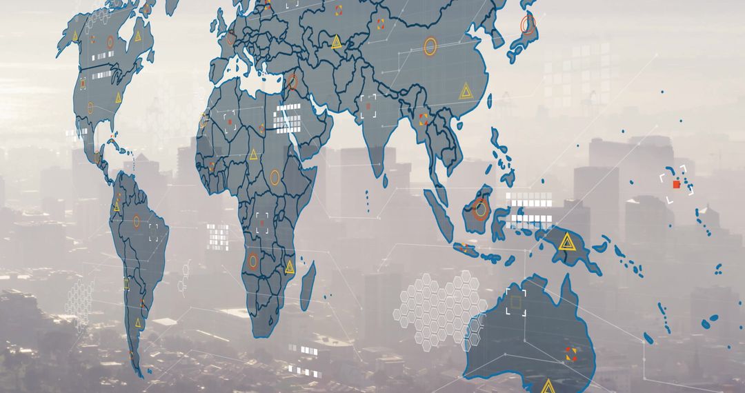
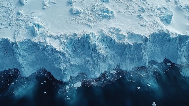
- Satellite Tracking Ice Melting with Geospatial Data and Grid Overlay
Satellite Tracking Ice Melting with Geospatial Data and Grid Overlay Image

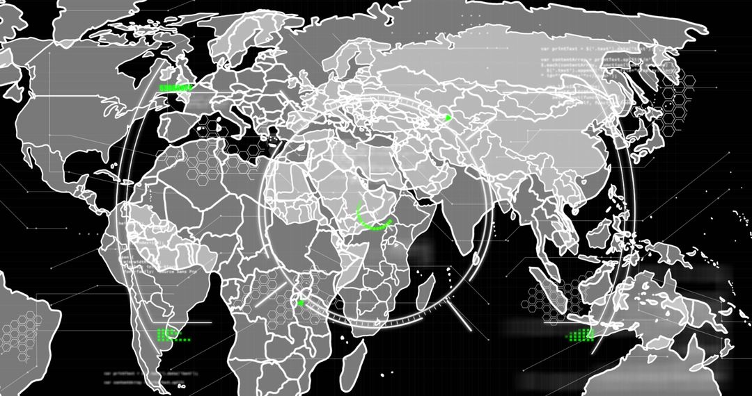
Visualization useful for environmental agencies tracking ice changes due to climate effects. Aimed at data analysts examining trends in ice mass variation through accurate satellite readings. Could enhance meteorology services, providing educational material on global warming impact for presentations.
Powered by 

2
downloads
downloads
Tags:
More
Credit Photo
If you would like to credit the Photo, here are some ways you can do so
Text Link
photo Link
<span class="text-link">
<span>
<a target="_blank" href=https://pikwizard.com/photo/satellite-tracking-ice-melting-with-geospatial-data-and-grid-overlay/e0b13d123697bb1fd199a34b768cb3aa/>PikWizard</a>
</span>
</span>
<span class="image-link">
<span
style="margin: 0 0 20px 0; display: inline-block; vertical-align: middle; width: 100%;"
>
<a
target="_blank"
href="https://pikwizard.com/photo/satellite-tracking-ice-melting-with-geospatial-data-and-grid-overlay/e0b13d123697bb1fd199a34b768cb3aa/"
style="text-decoration: none; font-size: 10px; margin: 0;"
>
<img src="https://pikwizard.com/pw/medium/e0b13d123697bb1fd199a34b768cb3aa.jpg" style="margin: 0; width: 100%;" alt="" />
<p style="font-size: 12px; margin: 0;">PikWizard</p>
</a>
</span>
</span>
Free (free of charge)
Free for personal and commercial use.
Author: People Creations
Similar Free Stock Images