- Home >
- Stock Photos >
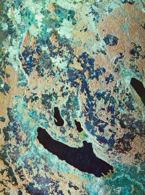
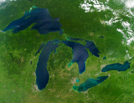
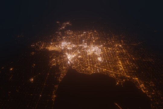
- Satellite View of Detroit, Michigan with Water Bodies Visible in 2001
Satellite View of Detroit, Michigan with Water Bodies Visible in 2001 Image
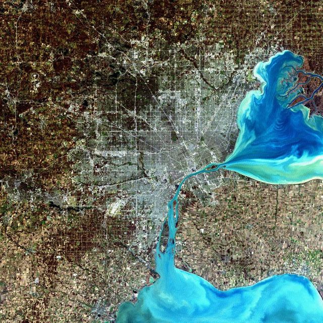
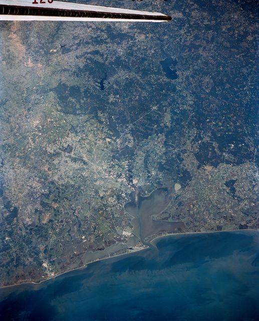
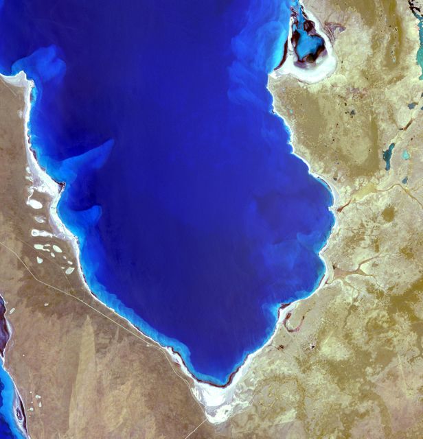
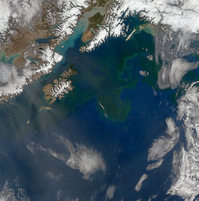
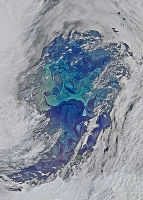
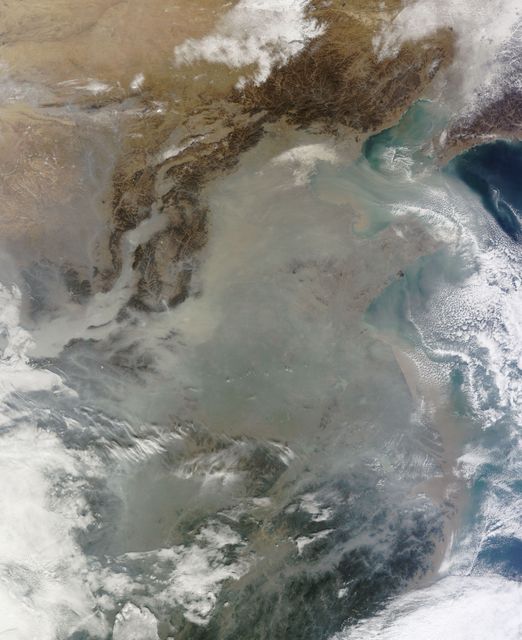
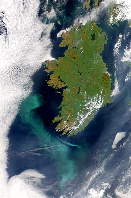
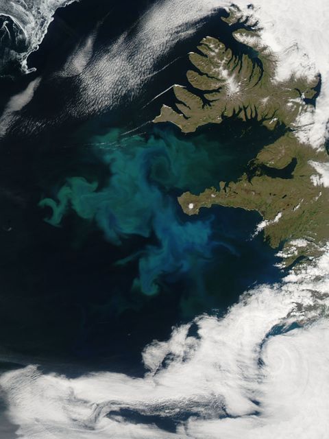
This detailed image captured by the Landsat 7 ETM+ sensor on December 11, 2001, shows a stunning aerial view of Detroit, Michigan. Highlighting the intricate urban infrastructure and nearby water bodies, this image provides a comprehensive representation of the city's expansive metropolitan area. Ideal for presentations on urban development, geographical studies, and discussions related to environmental monitoring.
Powered by 


Credit Photo
If you would like to credit the Photo, here are some ways you can do so
Text Link
photo Link
<span class="text-link">
<span>
<a target="_blank" href=https://pikwizard.com/photo/satellite-view-of-detroit-michigan-with-water-bodies-visible-in-2001/ac34b6b34141148362a54205593f2e36/>PikWizard</a>
</span>
</span>
<span class="image-link">
<span
style="margin: 0 0 20px 0; display: inline-block; vertical-align: middle; width: 100%;"
>
<a
target="_blank"
href="https://pikwizard.com/photo/satellite-view-of-detroit-michigan-with-water-bodies-visible-in-2001/ac34b6b34141148362a54205593f2e36/"
style="text-decoration: none; font-size: 10px; margin: 0;"
>
<img src="https://pikwizard.com/pw/medium/ac34b6b34141148362a54205593f2e36.jpg" style="margin: 0; width: 100%;" alt="" />
<p style="font-size: 12px; margin: 0;">PikWizard</p>
</a>
</span>
</span>
CC0 (Creative Commons Zero)
Free for personal and commercial use.