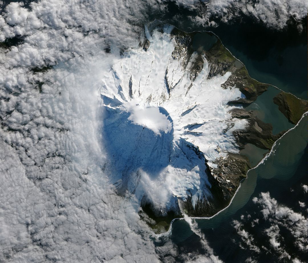
Satellite View of Eruption on Mawson Peak, Heard Island Image

This stunning satellite view showcases an eruption on Mawson Peak, located on remote Heard Island. Captured by the Advanced Land Imager on the Earth Observing-1 satellite in April 2013, the image displays new lava flows from the filled summit crater, indicating recent volcanic activity. Ideal for educational resources, geographical studies, and geological research, this high-resolution image provides valuable insight into volcanic behavior and remote sensing technology.
downloads
Credit Photo
If you would like to credit the Photo, here are some ways you can do so
CC0 (Creative Commons Zero)
Free for personal and commercial use.


