- Home >
- Stock Photos >
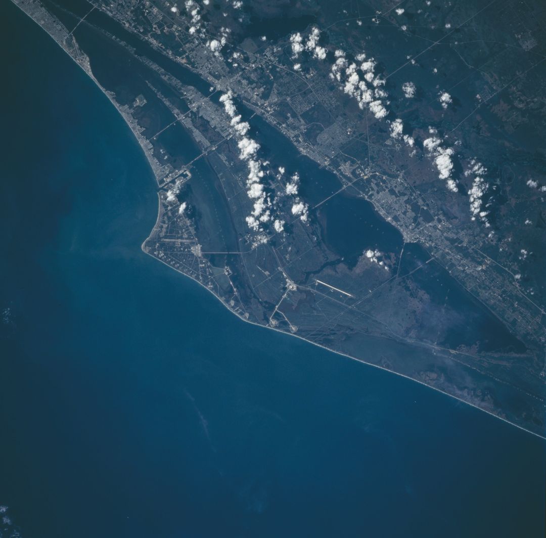
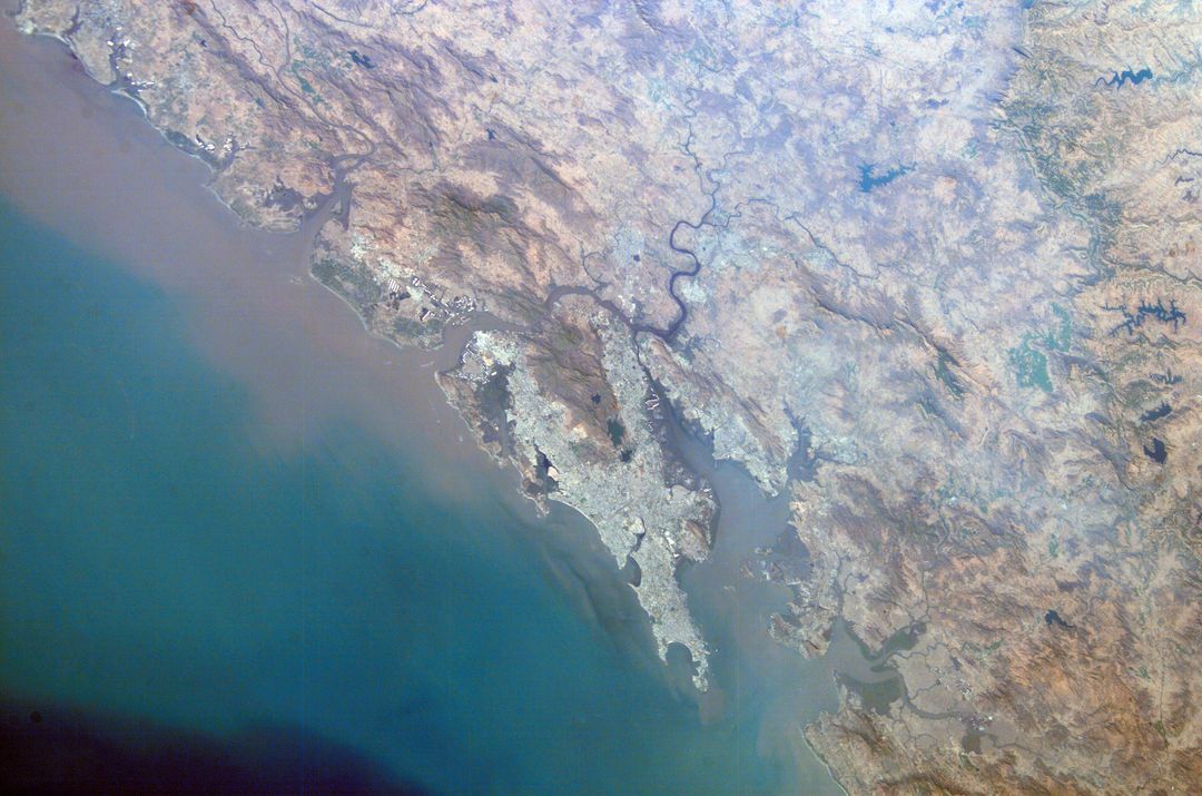
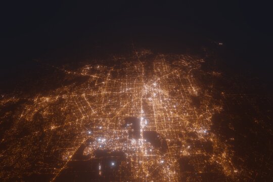
- Satellite View of Houston Texas and Surrounding Areas from Space
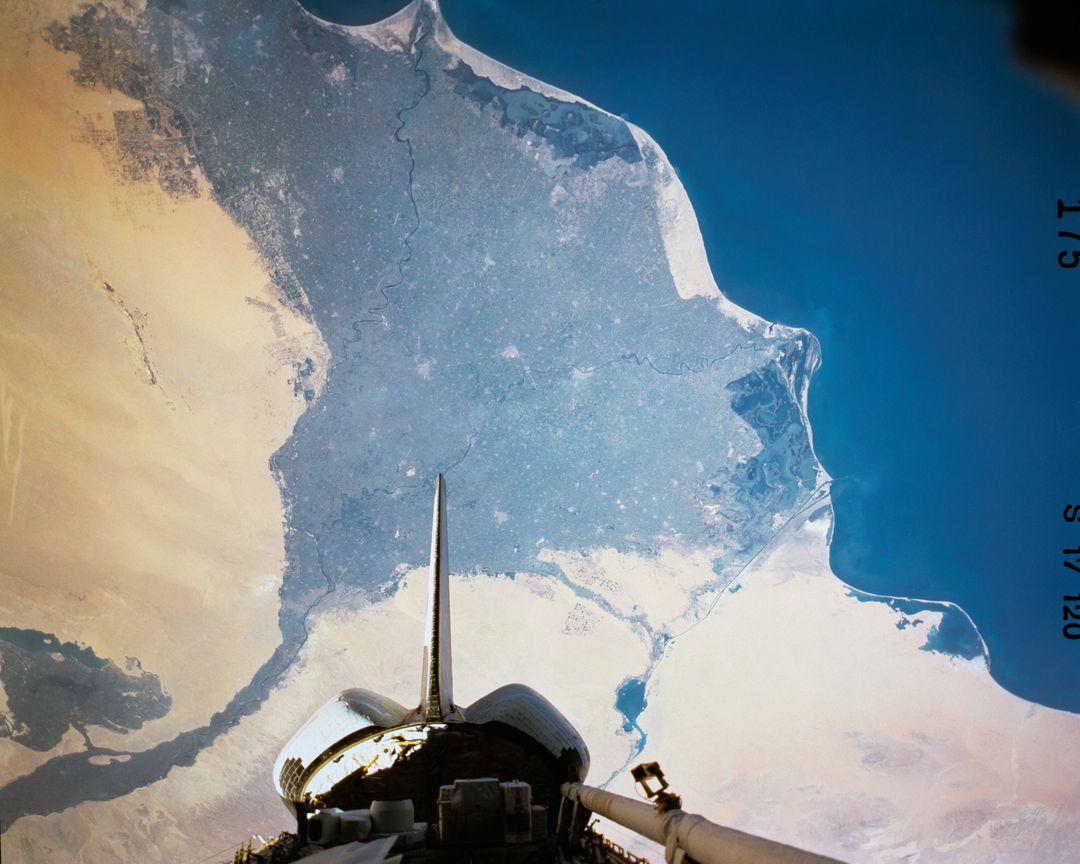
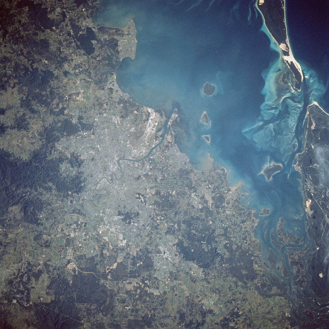
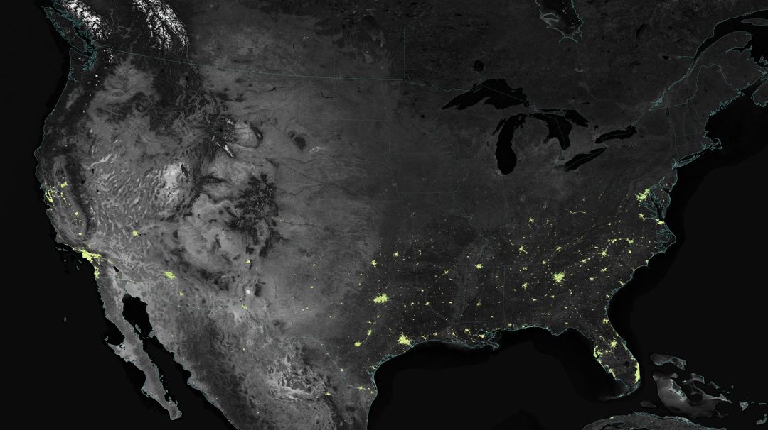
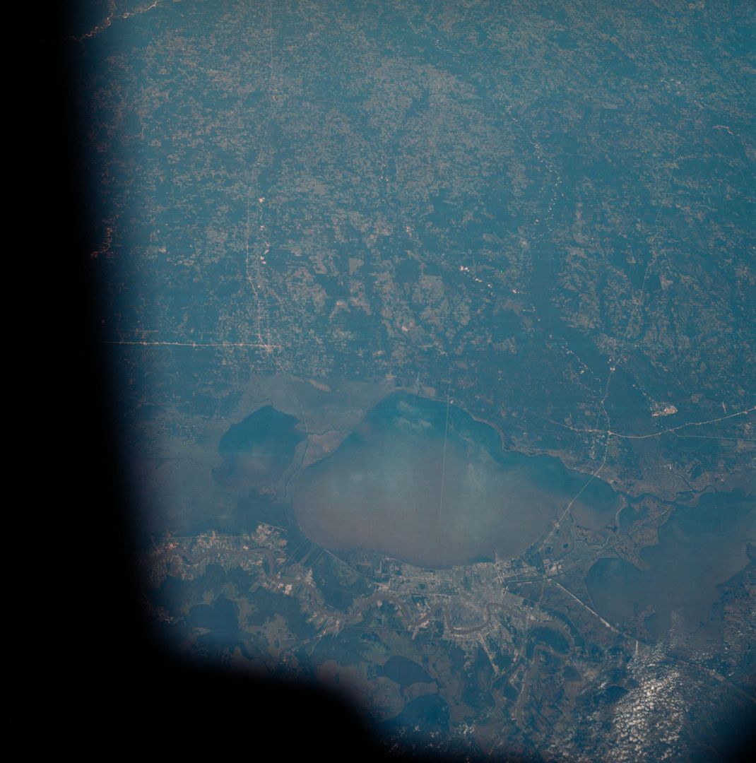
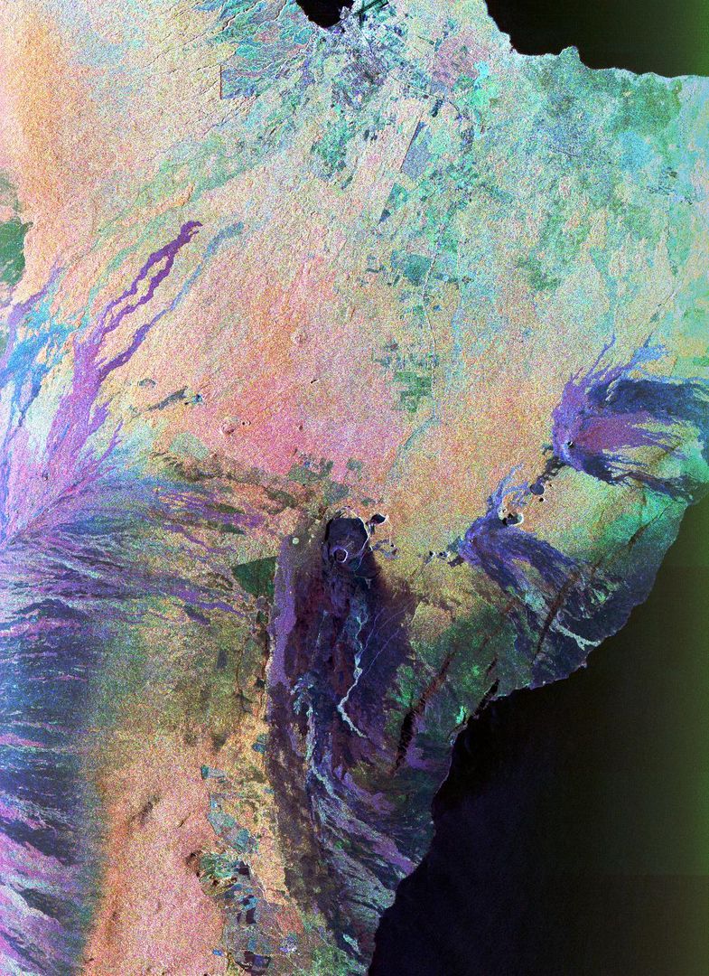
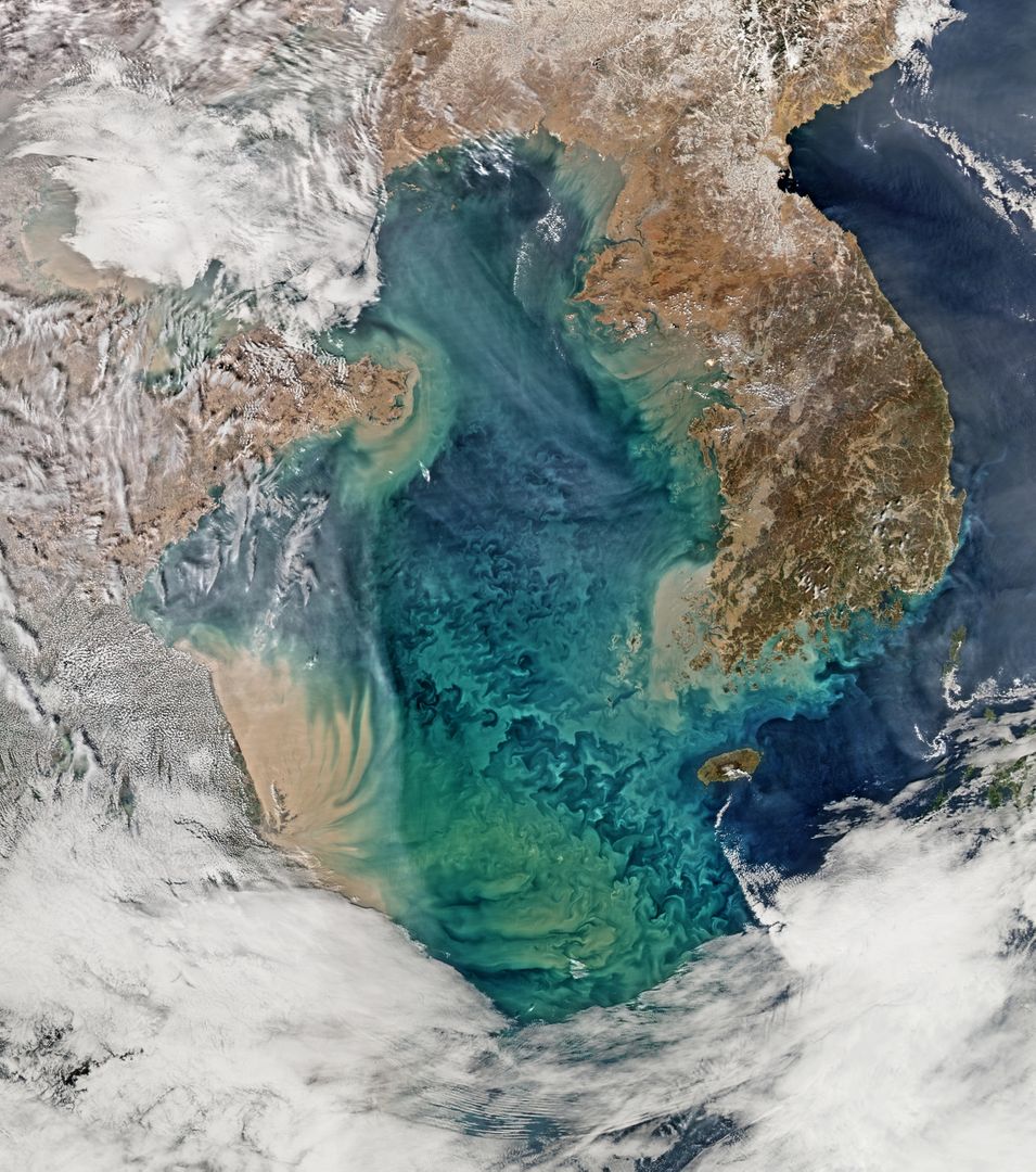
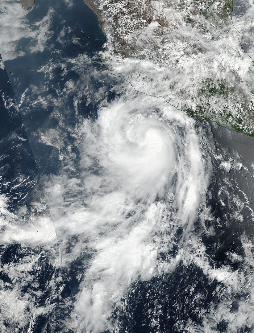
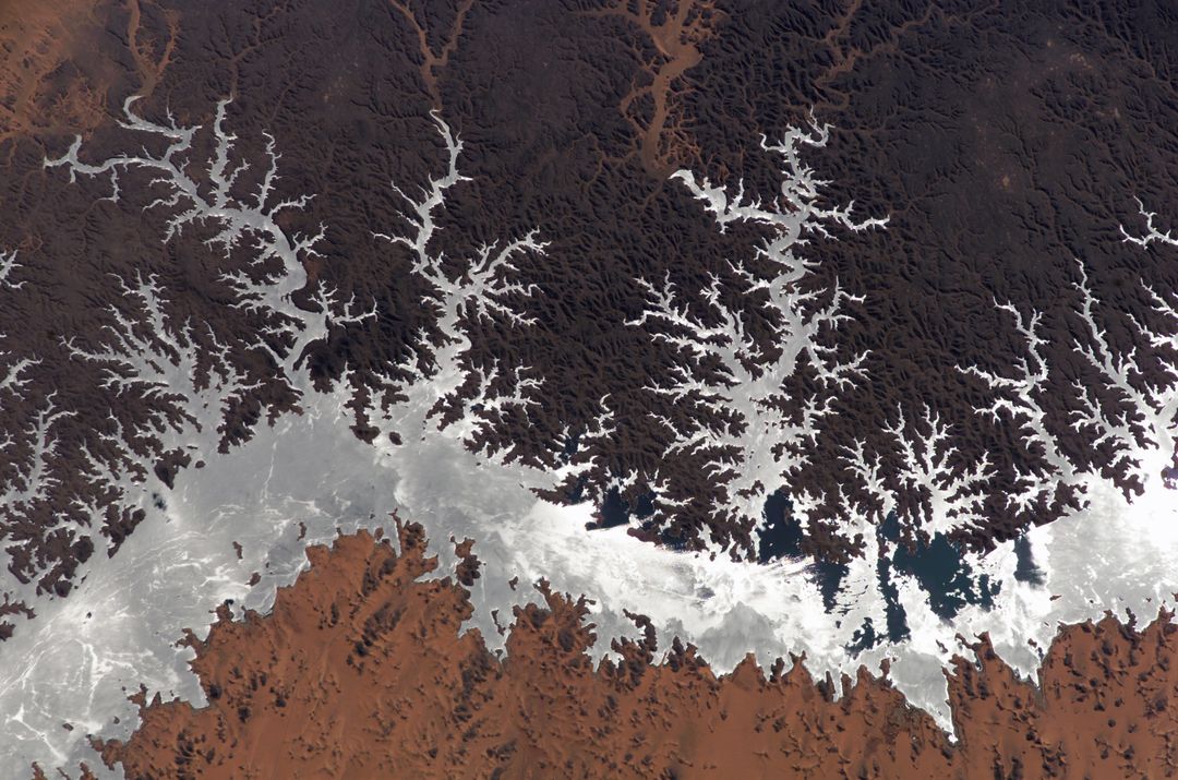
Satellite View of Houston Texas and Surrounding Areas from Space Image
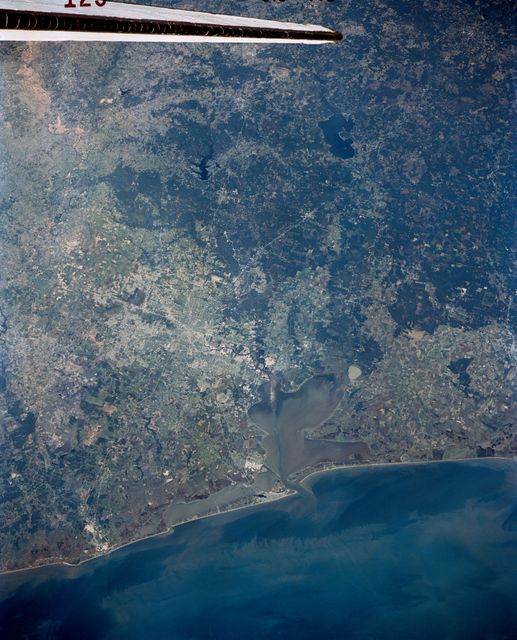
Stunning satellite view of Houston, Texas and surrounding areas showing the Houston Ship Channel, Clear Lake, and detailed infrastructure. Useful for educational materials, presentations on urban development, geography studies, or documentaries on space exploration and satellite imaging.
Powered by 

Credit Photo
If you would like to credit the Photo, here are some ways you can do so
Text Link
photo Link
<span class="text-link">
<span>
<a target="_blank" href=https://pikwizard.com/photo/satellite-view-of-houston-texas-and-surrounding-areas-from-space/0f61d2bab3be88b5bab2f7902a0804ef/>PikWizard</a>
</span>
</span>
<span class="image-link">
<span
style="margin: 0 0 20px 0; display: inline-block; vertical-align: middle; width: 100%;"
>
<a
target="_blank"
href="https://pikwizard.com/photo/satellite-view-of-houston-texas-and-surrounding-areas-from-space/0f61d2bab3be88b5bab2f7902a0804ef/"
style="text-decoration: none; font-size: 10px; margin: 0;"
>
<img src="https://pikwizard.com/pw/medium/0f61d2bab3be88b5bab2f7902a0804ef.jpg" style="margin: 0; width: 100%;" alt="" />
<p style="font-size: 12px; margin: 0;">PikWizard</p>
</a>
</span>
</span>
CC0 (Creative Commons Zero)
Free for personal and commercial use.
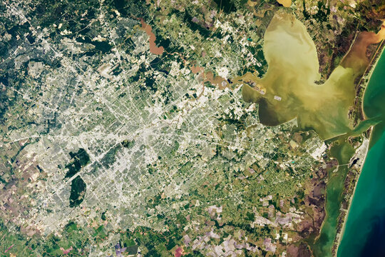
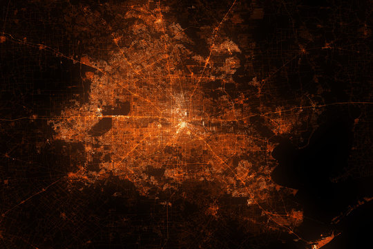
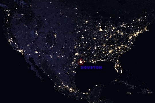
Similar Free Stock Images
Premium


Premium


Premium


Premium