- Home >
- Stock Photos >
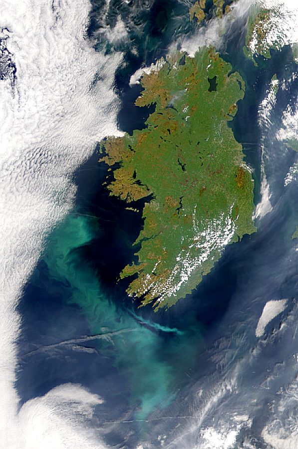
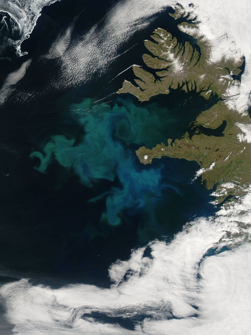
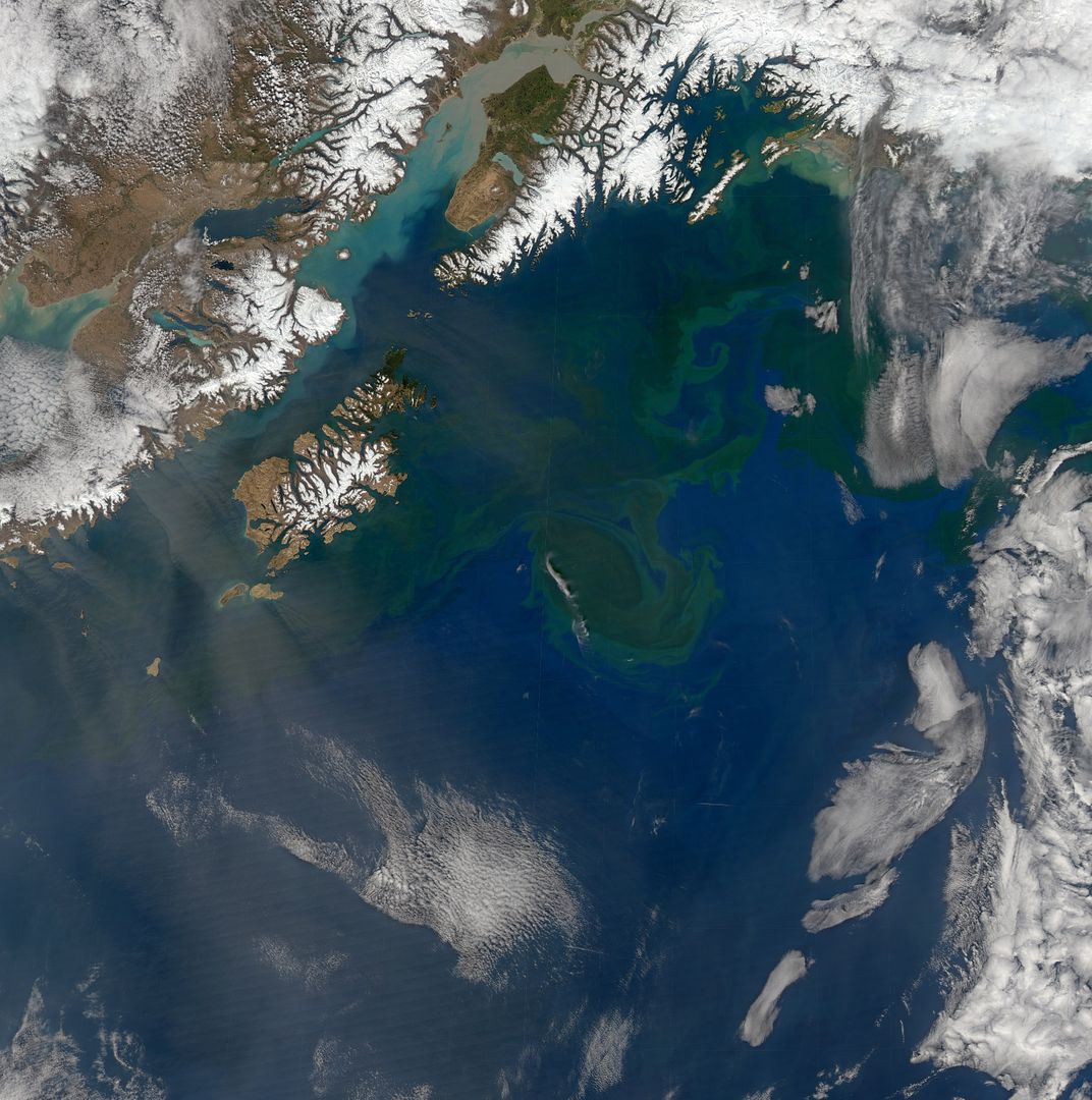
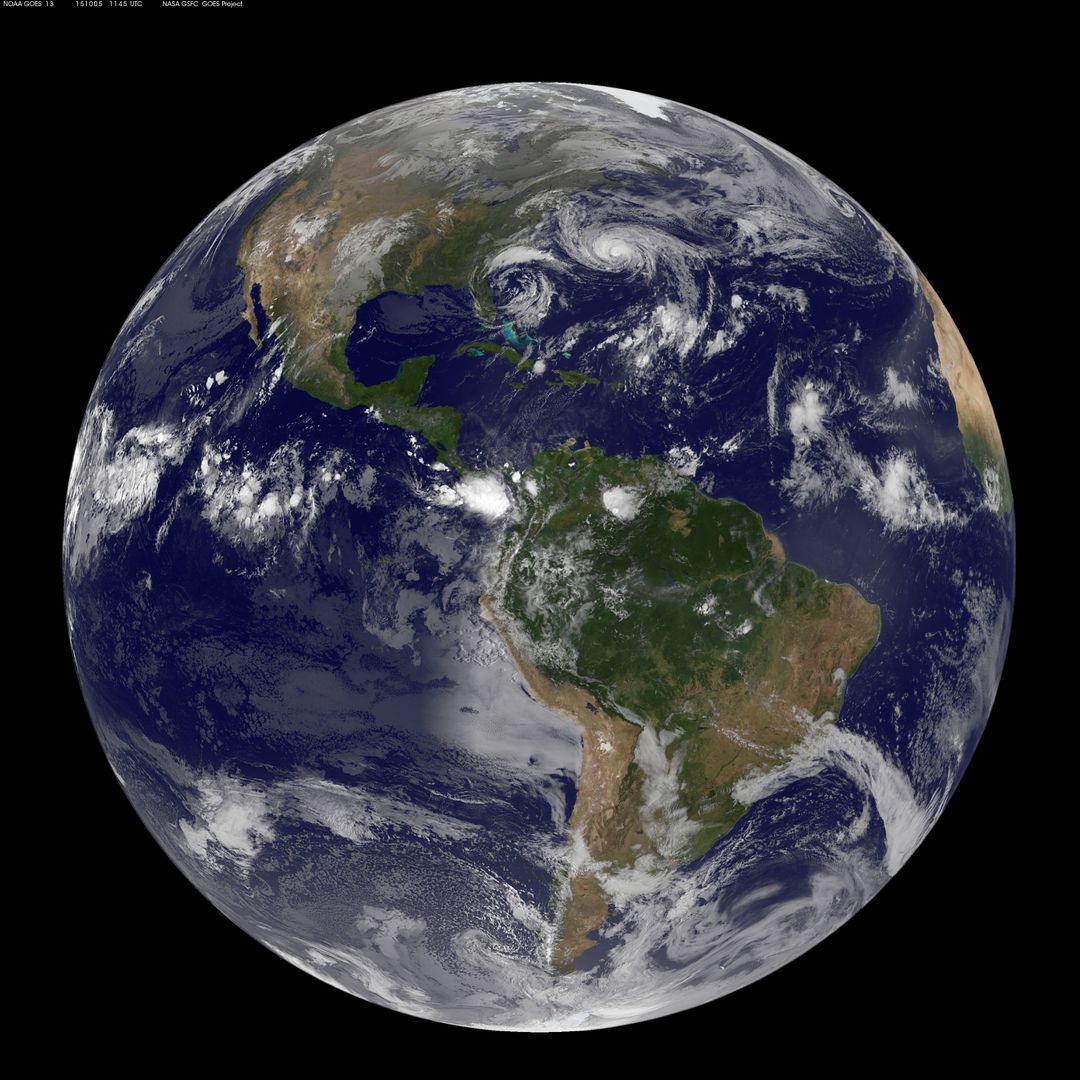
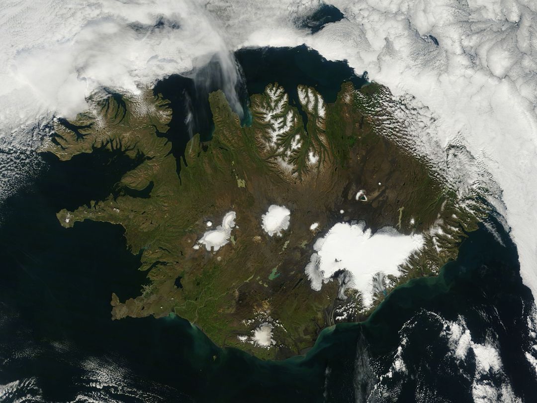
- Satellite View of Ireland with Possible Coccolithophore Blooms
Satellite View of Ireland with Possible Coccolithophore Blooms Image
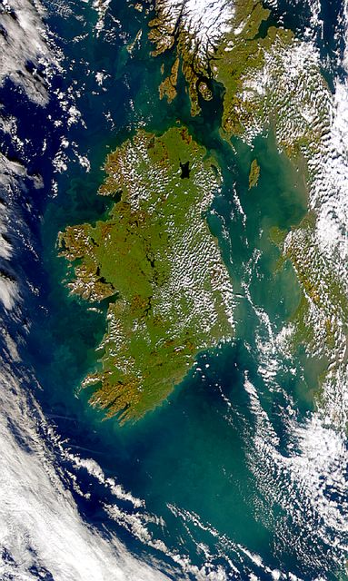
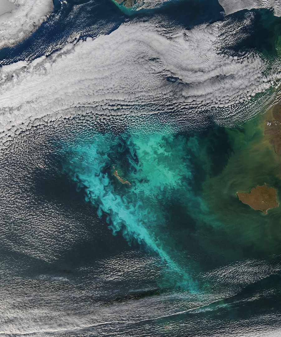
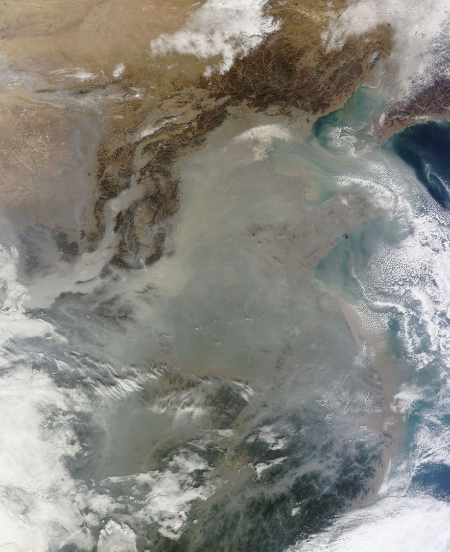
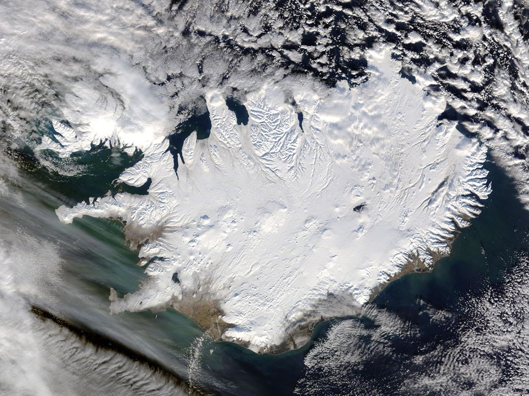
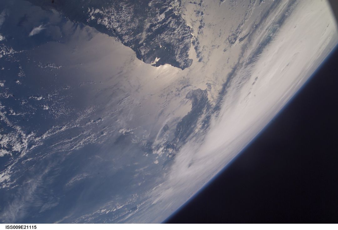
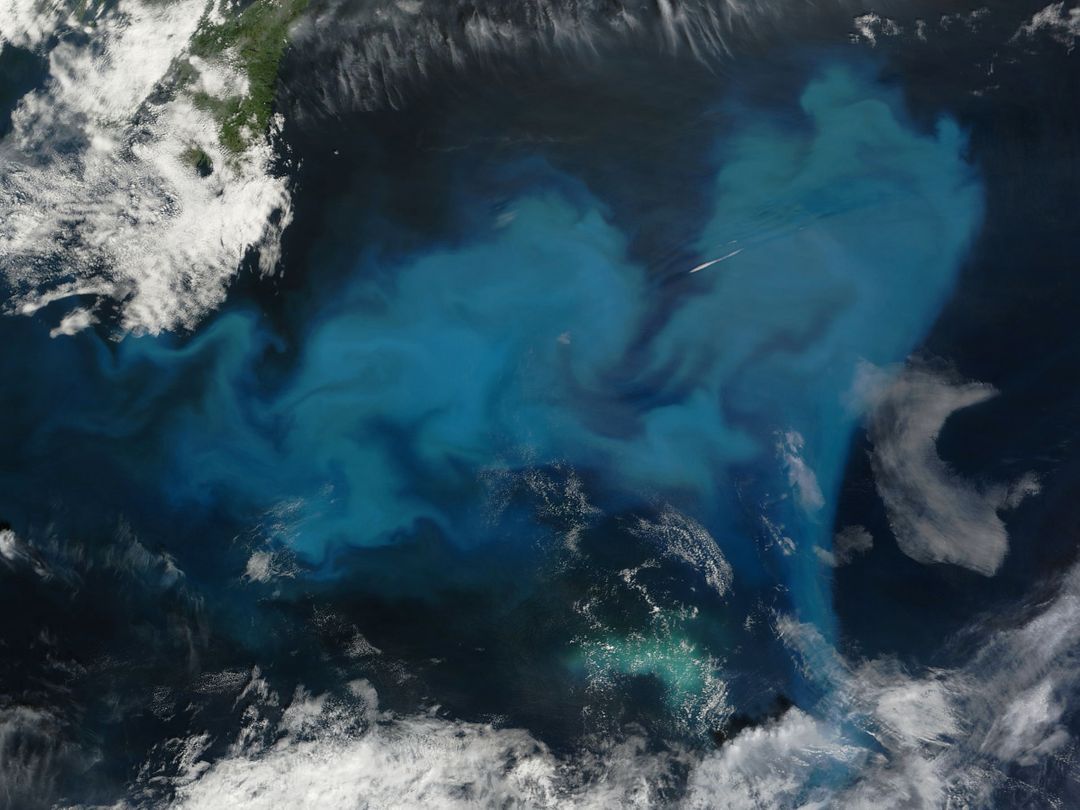
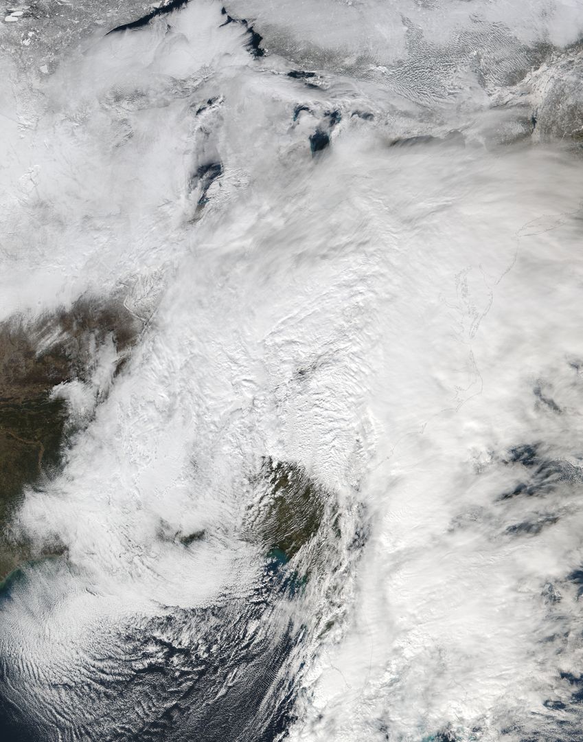
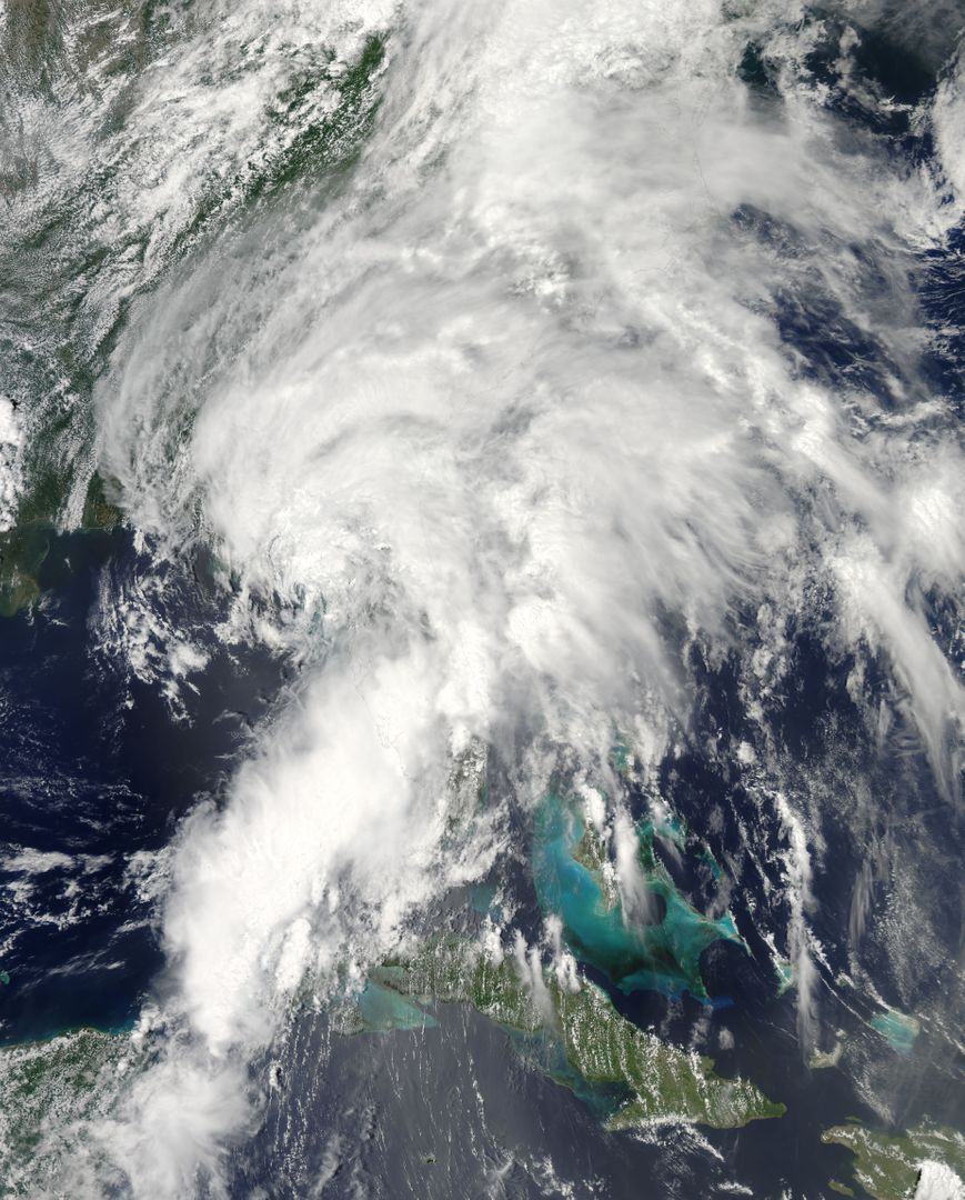
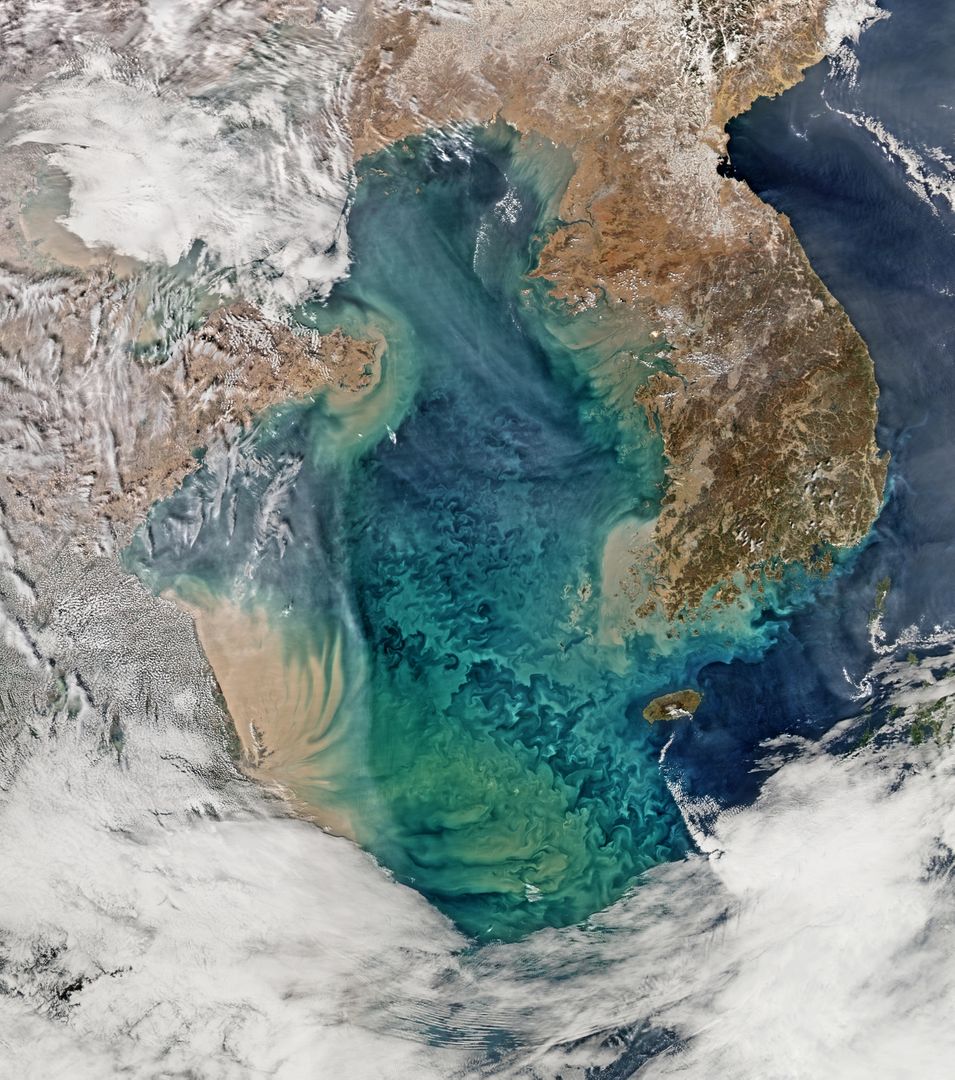
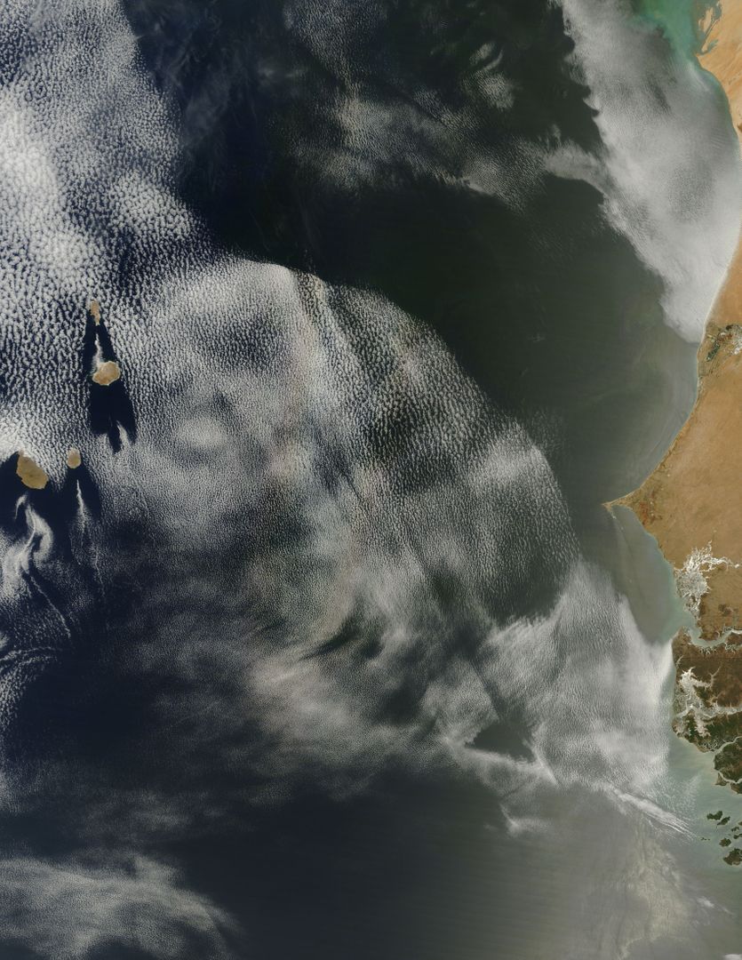
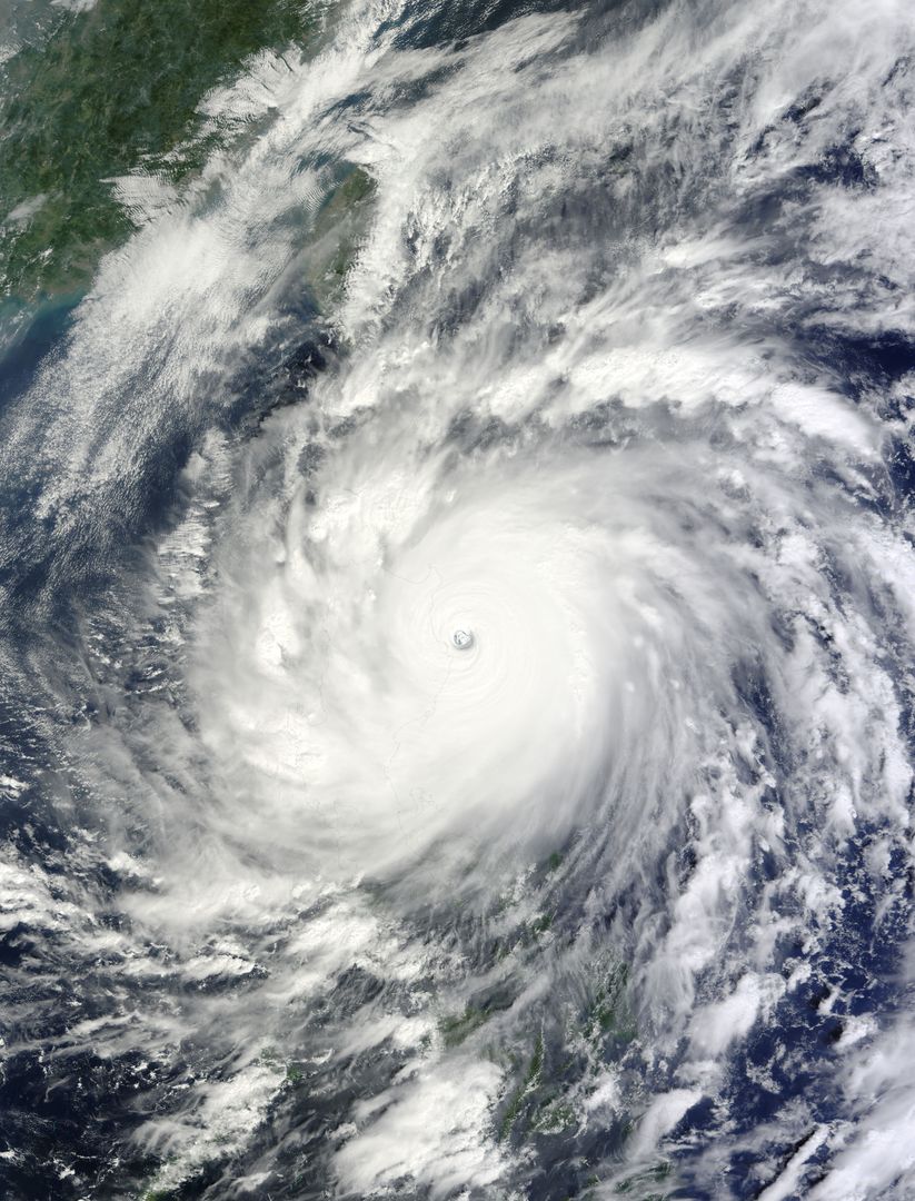
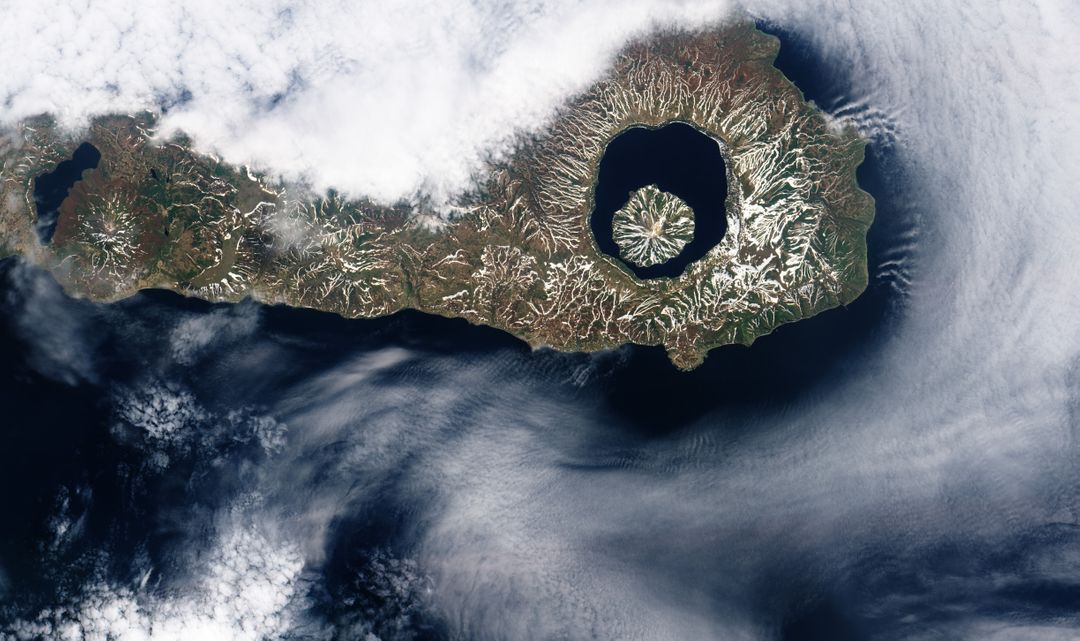
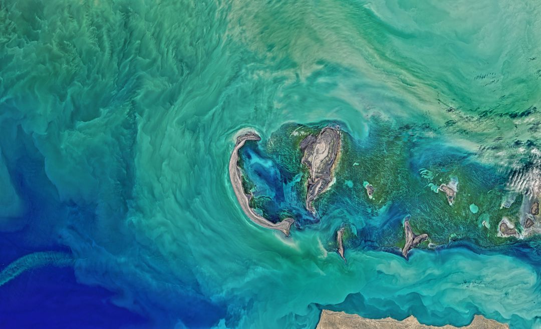
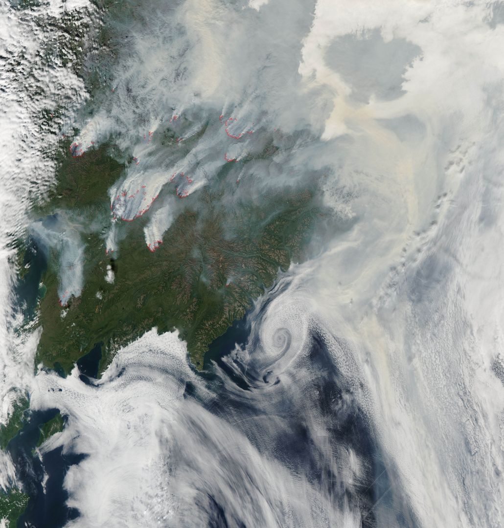
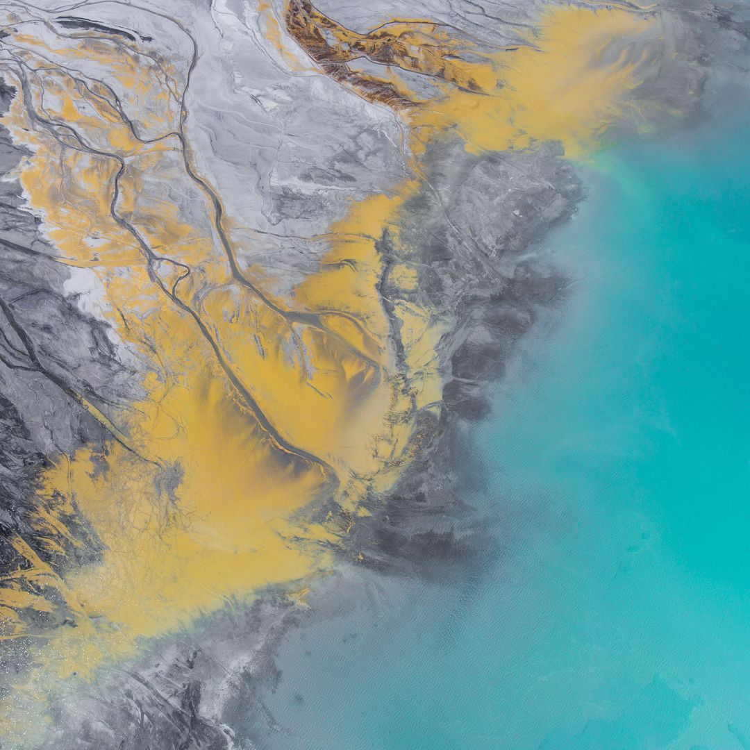
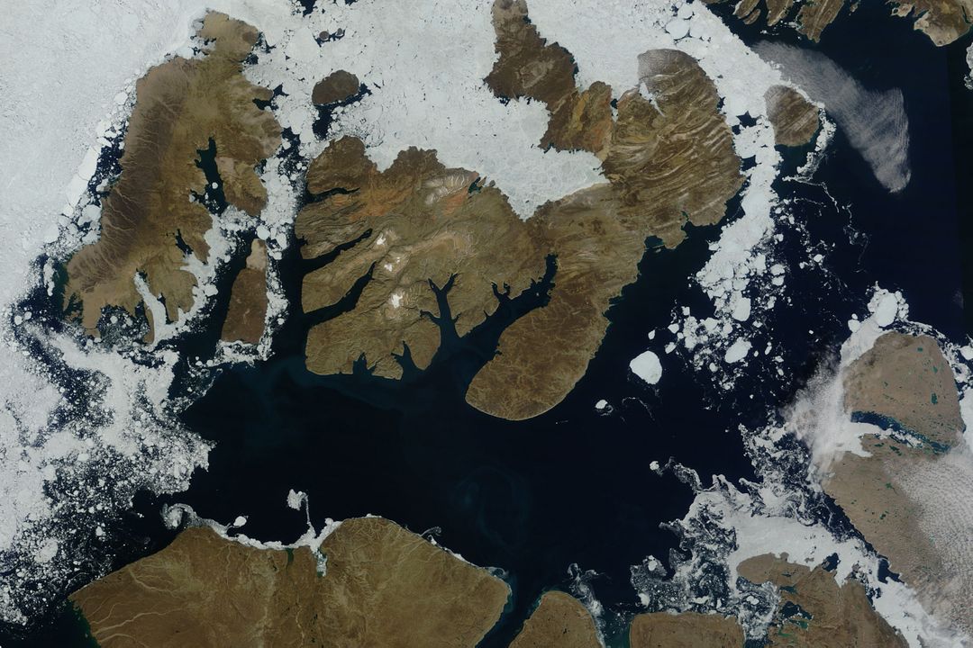
Satellite image captures a detailed view of Ireland, highlighting land and surrounding ocean on February 19, 2000. Possible coccolithophore blooms visible in waters around the island. Captured by OrbView-2/SeaWiFS sensor. Useful for educational resources related to geography, earth sciences, environmental studies, and oceanography.

Credit Photo
If you would like to credit the Photo, here are some ways you can do so
Text Link
photo Link
<span class="text-link">
<span>
<a target="_blank" href=https://pikwizard.com/photo/satellite-view-of-ireland-with-possible-coccolithophore-blooms/1831597c7bb1841bf4b33c19d0696023/>PikWizard</a>
</span>
</span>
<span class="image-link">
<span
style="margin: 0 0 20px 0; display: inline-block; vertical-align: middle; width: 100%;"
>
<a
target="_blank"
href="https://pikwizard.com/photo/satellite-view-of-ireland-with-possible-coccolithophore-blooms/1831597c7bb1841bf4b33c19d0696023/"
style="text-decoration: none; font-size: 10px; margin: 0;"
>
<img src="https://pikwizard.com/pw/medium/1831597c7bb1841bf4b33c19d0696023.jpg" style="margin: 0; width: 100%;" alt="" />
<p style="font-size: 12px; margin: 0;">PikWizard</p>
</a>
</span>
</span>
CC0 (Creative Commons Zero)
Free for personal and commercial use.
Similar Free Stock Images