1. Home > 
  2. Stock Photos > 
  3. Satellite View of Northwest Passage in Canadian Arctic on August 31, 2015

Satellite View of Northwest Passage in Canadian Arctic on August 31, 2015 Image

Satellite View of Northwest Passage in Canadian Arctic on August 31, 2015

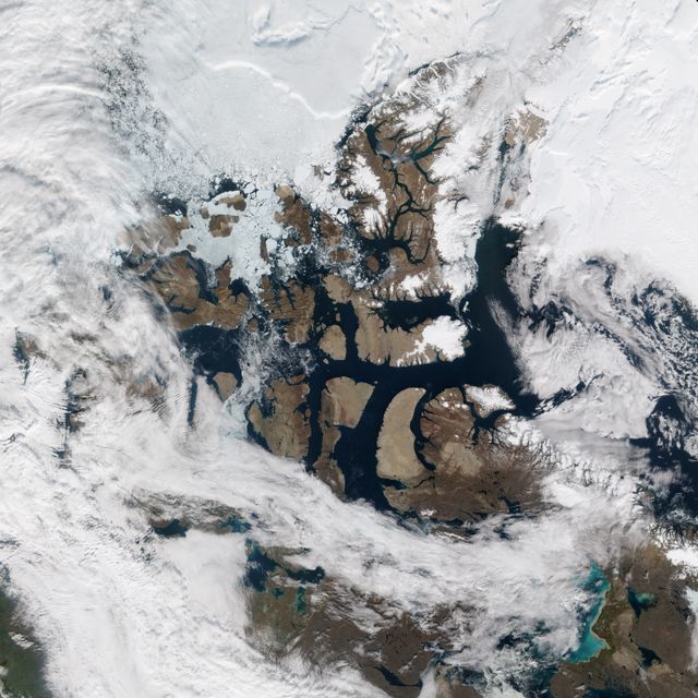
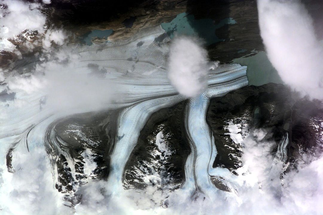
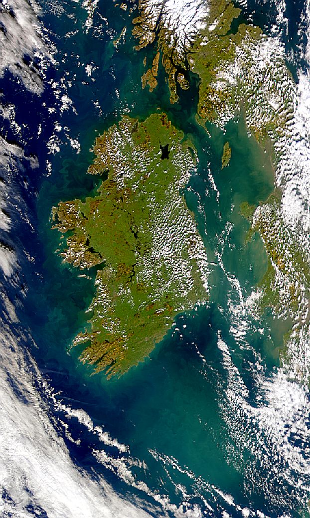
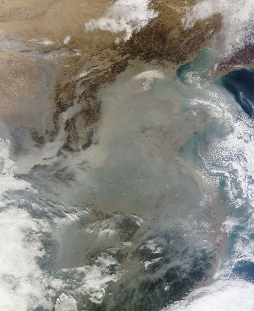
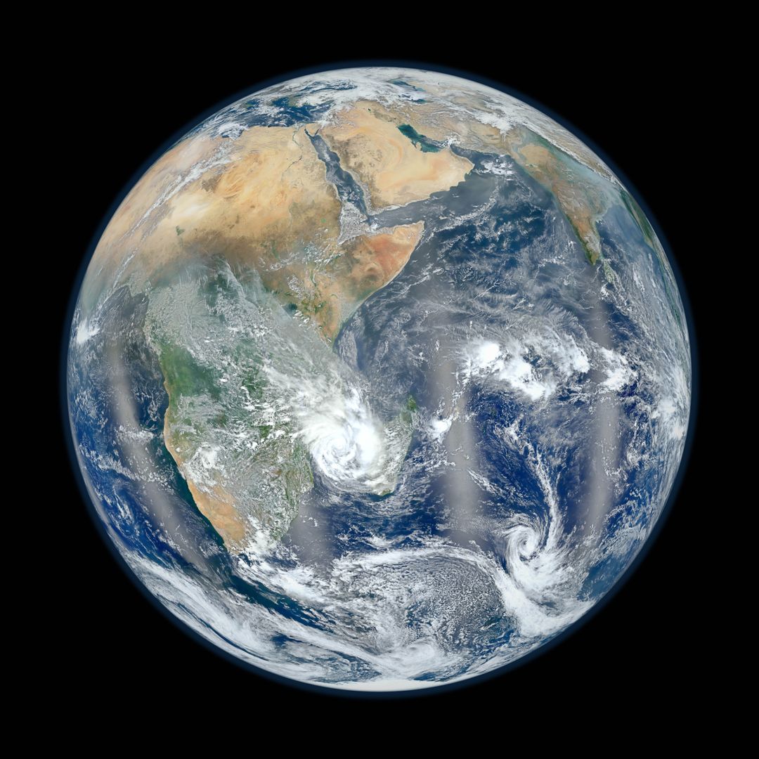
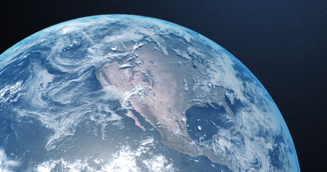
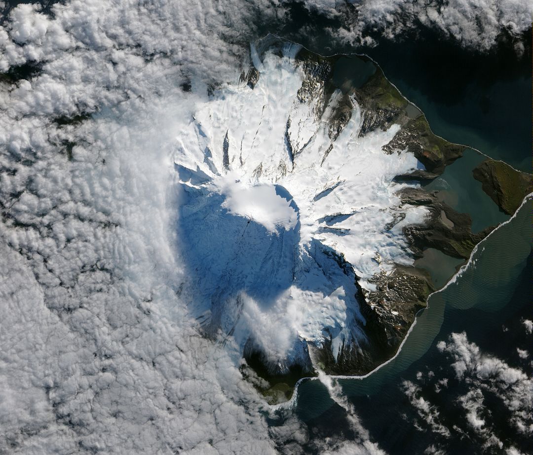
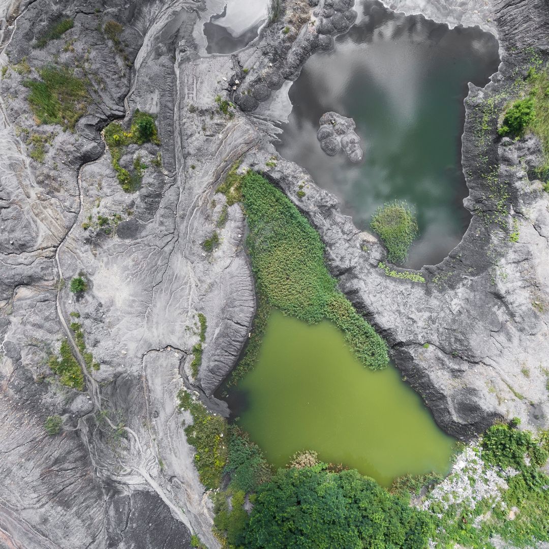
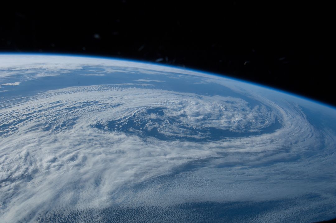
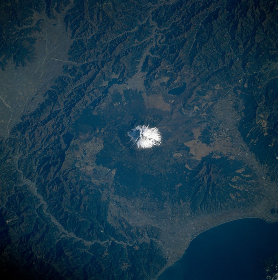
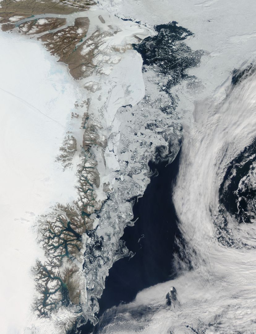
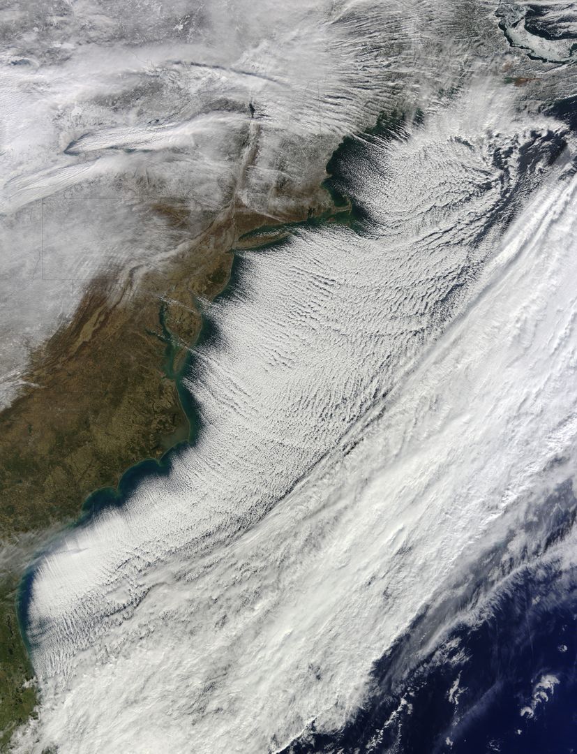
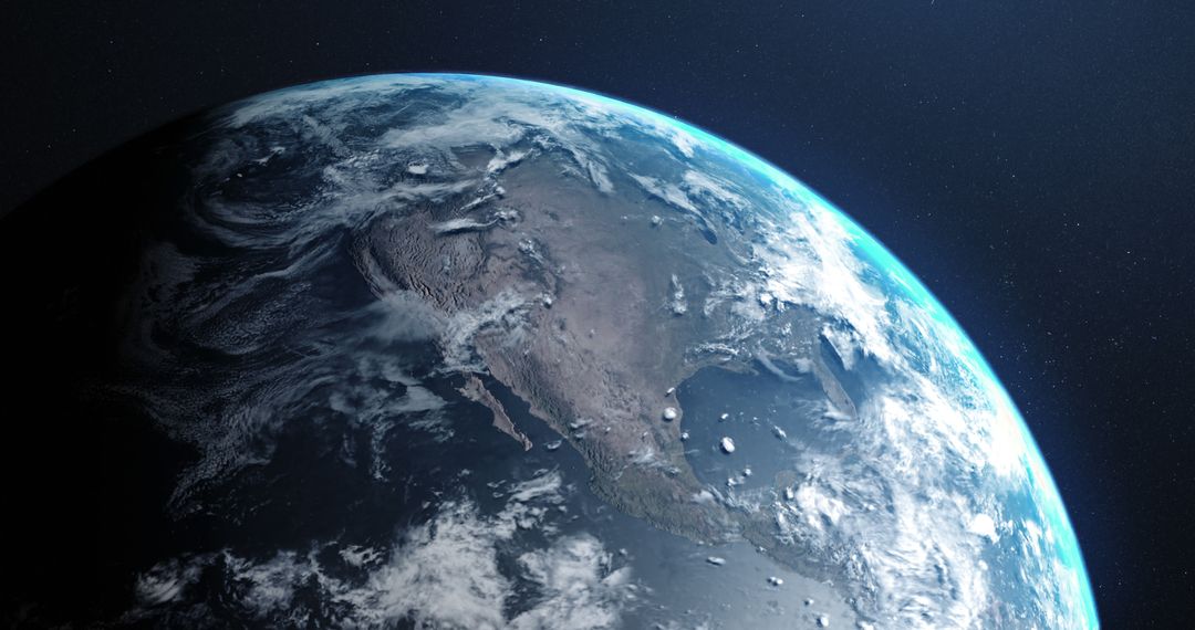
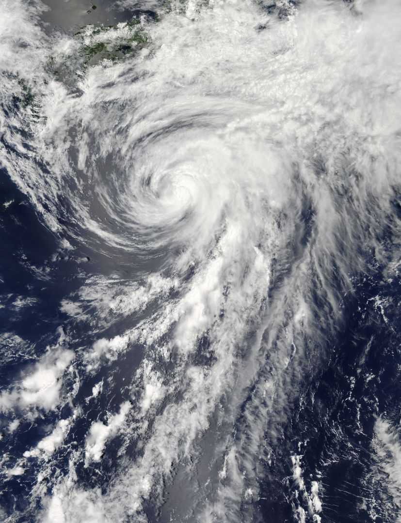
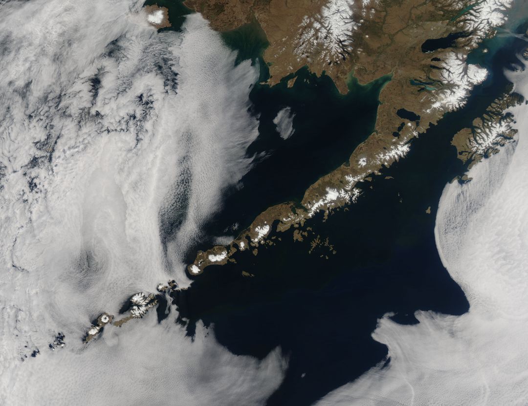
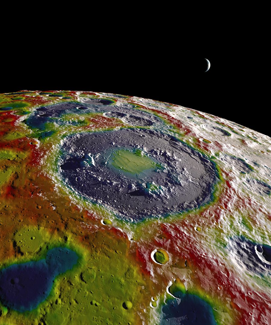
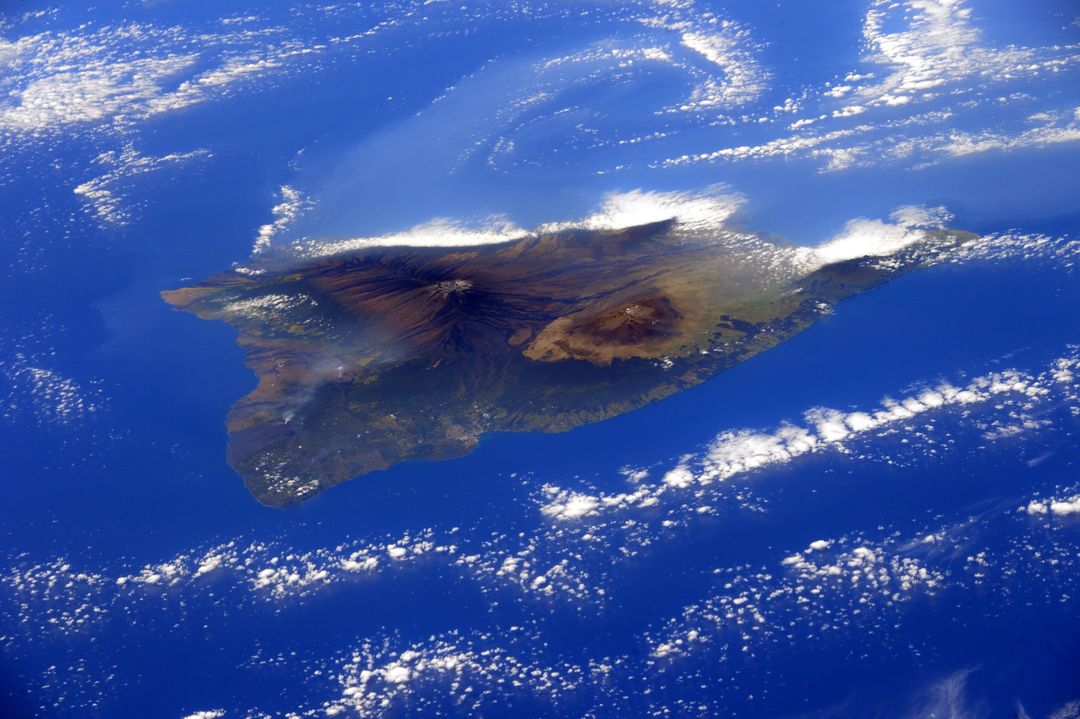
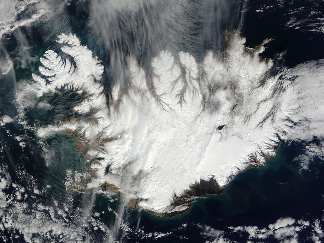
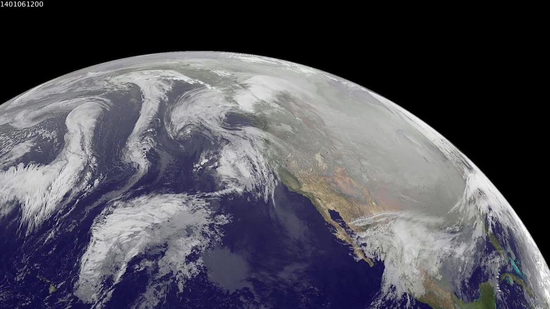
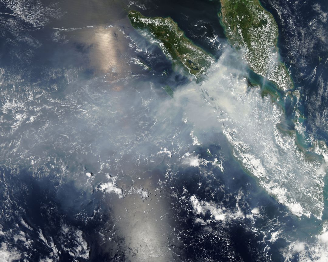
Satellite image shows the Northwest Passage in the Canadian Arctic captured on August 31, 2015 by the VIIRS on the Suomi NPP satellite. It illustrates the seasonal thinning and retreat of sea ice, facilitating navigation through the passage. Useful for studying climate change impacts, maritime route planning, and Arctic exploration.

Credit Photo

If you would like to credit the Photo, here are some ways you can do so

CC0 (Creative Commons Zero)

Free for personal and commercial use.

Similar Free Stock Images

Swirling Sea Ice Along Greenland's Coast Captured by NASA's Aqua Satellite
Aerial View of Upsala Glacier in Argentina Captured from ISS
Europe Map Satellite View at Night Showing City Lights
Sea Ice and Grease Ice in Foxe Basin, August 2002
Crystal Clear Water of Shallow Lake Shore
Satellite view of Tropical Storm Danielle over ocean surface
Satellite View of Ireland with Possible Coccolithophore Blooms
North Atlantic Ocean from Space with Sunglint Reflections, June 1982
Hurricane Gonzalo Raging over Atlantic Ocean Captured by NASA's Terra Satellite
Fires in Northern Australia Captured by MODIS on Aqua Satellite
Dense Haze Shrouds Northern China Seen from Space in December 2013
Satellite View of Calbuco Volcano Eruption Plume Over Chile
Aerial view of Southern Florida from International Space Station
Aerial View of Sequoia National Park, California Captured by Landsat 5 Satellite
Composite Earth Image from Suomi NPP Satellite Captured on January 23, 2012
Tropical Cyclone Chapala Over Yemen Captured by NASA Aqua Satellite
Aerial View of Snowy Forest and Curving Winter Road
Fantastical Skyscape Over Coastal Horizon
Breathtaking Sunset Clouds in Vast Sky
Spectacular Sunset Clouds Illuminated by Atmospheric Sunlight
Vibrant Danse of Clouds at Sunset Over Tranquil Landscape
Planet Earth From Space Featuring North America
Heart Shaped Clouds at Sunset with Golden Sky
6G Technology Concept with Globe and Digital Interface
Digital Data Visualization on Globe in Space Environment
Satellite View of Eruption on Mawson Peak, Heard Island
Aerial View of Unique Natural Rock Formation with Green Waters
Aerial View of Burma's Coast and Irrawaddy River from Space, 1963
Sahara Desert Dust Over Atlantic Ocean from Space, June 2003
Aerial View of Wintery Montreal Showing Rivers and Landmarks, 1994
Cyclone Seen from International Space Station Over Southern Pacific
Aerial View of Snow-Capped Mountain Range with White Clouds
Satellite View of Hurricane Fred Near Cape Verde Islands, August 2015
Aerial View of Ship-Wave Shaped Clouds Near Crozet Islands
Aerial View of Tao-Rusyr Caldera and Krenitzyn Peak on Onekotan Island
Aerial View of Mount Fuji Captured from Space Shuttle Columbia in 1983
GOES-13 Satellite Image of Earth Showing Americas on Summer Solstice
Sea Ice and Melting Glaciers off the Greenland Coast, Captured by NASA Satellite
Mir Space Station Over Storm in Roaring 40's, 1996
MODIS Captures Cloud Streets Over Atlantic Ocean in 2014 Cold Snap
Iceland Covered in Winter Snow Captured from Space
Aerial View of Eleuthera Island and Bahama Bank in the Bahamas from Space Shuttle Columbia
Majestic Mountain Peaks in Dramatic Cloudscape
Vibrant Sunset Scenery with Dramatic Clouds and Radiant Sky
Dramatic Clouds at Dusk with Sunset Horizon
Planet Earth Viewed from Outer Space
Earth from Space with Clouds and Atmosphere View
Dramatic Mountain Peak Embraced by Stormy Clouds
Digital Financial Data Overlay on Planet Earth
White World Map Overlaying Transparent Digital Interface
Tropical Storm Yagi Spinning Over North Pacific Ocean near Japan, June 2013
Hawaiian Islands from Space Captured on December 29, 2011
Aerial View of Phytoplankton Bloom near St. Matthew Island, October 2014
Dramatic Cumulus Cloudscape Against Clear Blue Sky
Aerial View of Snow-Capped Mount Rainier from Space
Aerial View of Southwestern US including Las Vegas on June 27, 1965
Aleutian Islands from Space Displaying Breathtaking Volcanic Chain and Surrounding Fog
Tropical Cyclone Chapala Approaching Yemen Coast Captured by NASA Satellite
Satellite View of Typhoon Josie South of Madagascar 1997
Cumulonimbus Cloud Over East Central Colombia from ISS
NASA satellites capture Tropical Storm Leslie and Hurricane Michael
Typhoon Chan-Hom Eye Visible from Space Captured by NASA’s Aqua Satellite, July 2015
Free-Air Gravity Map of Moon's Southern Latitudes by GRAIL Mission
Dramatic Sunset Cloud Formation Over Building
Aerial View of Solar Eclipse in North America from Space
Aerial View of Southeastern Arabian Peninsula and Gulf of Oman from Gemini-4
Dramatic Storm Sky with Lightning Across Fields
Dramatic Sunset Clouds with Golden Light
Dramatic Cloudscape with Sunlit Peaks at Sunset
Dramatic Sunset Clouds with Pink and Orange Hues
Planet Earth from Space with Cloudy Atmosphere
Fantasy Island in the Sky with Mystic Castle
Serene Snowy Mountain Peak Surrounded by Clouds
Data Processing on Global Map with Clouds and Sky
Dramatic Apocalypse Scenario with Earth Erupting Lava
Aerial View of Big Island Hawaii Surrounded by Pacific Ocean Waters
Bird's-eye View of Brisbane and Moreton Bay from Space
Spectacular Aerial View of Florida Keys Captured by NASA's Aqua Satellite
Aerial view of hurricane isabel from international space station in 2003
Astronaut View of Iceland's Snow-Covered Terrain from Space
Colorful Eddies in Southern Ocean Viewed from Space
Aerial View of Laguna Verde and Andes Mountains Captured from Space Shuttle Columbia
Satellite View of Developing Cyclone Near Bahamas On July 1, 2014
Aerial View of Snow-Capped Rugged Mountain Peaks in Misty Winter Landscape
Tropical Cyclone Glenda Over Southern Indian Ocean Captured by NASA MODIS
Polar Vortex Impact on North America Seen from Space
Stunning Earth Night View from Space Showing Europe with City Lights
Tropical Storm Linfa over South China Sea, Satellite View, July 7
Satellite View of Smoke and Haze from Fires in Sumatra, March 2014
Tropical Cyclone Bianca Over Western Australia Coastline Captured from Space
Aerial View of Cloud Streets and Ice in Davis Strait, February 2013
Serene Cloudscape Over Coastal Horizon with Reflective Waters
Dramatic Sunset Clouds Illuminated by Sunlight with AI Artistry
Stunning Sunset Sky with Dramatic Cloud Formations
Dramatic Sunset with Majestic Clouds in Vibrant Sky
View of Earth from Space with Atmosphere and Clouds
Heart-Shaped Rainbow Cloud in Vibrant Blue Sky
Colorful Nebula with Stars in Interstellar Space
Digital Data Streams Flowing Over Earth's Surface
Digital World Map with Connecting Data Nodes and Geometric Shapes