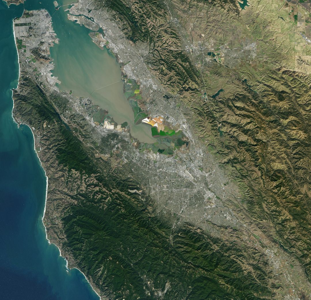
Satellite View of Santa Clara Area, Land and Coastal Regions, Nov 2015 Image

This image captures a detailed satellite view of the Santa Clara area as seen by Landsat 7 on November 16, 2015. Displaying both the land surface and surrounding coastal regions, this can be used for geographical, environmental and urban planning studies. Academic institutions and researchers can use it to teach or analyze urban development, natural landscapes, and coastal dynamics. Perfect for environmental monitoring, mapping projects, and informational visuals about the Santa Clara vicinity.
downloads
Credit Photo
If you would like to credit the Photo, here are some ways you can do so
CC0 (Creative Commons Zero)
Editorial Use only - Please be aware that images marked as Editorial cannot be used for commercial, promotional, advertorial or endorsement purposes. You should only use Editorial images in connection with events that are newsworthy or of (non commercial) general interest


