- Home >
- Stock Photos >
- Satellite View of Sherpa Fire Impact in Santa Barbara County, June 2016
Satellite View of Sherpa Fire Impact in Santa Barbara County, June 2016 Image
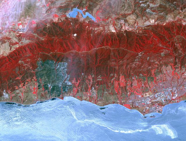
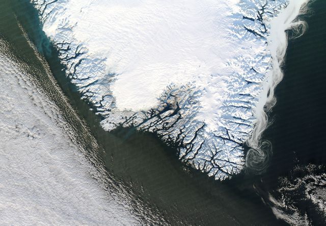
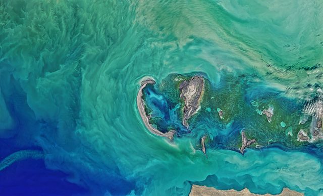
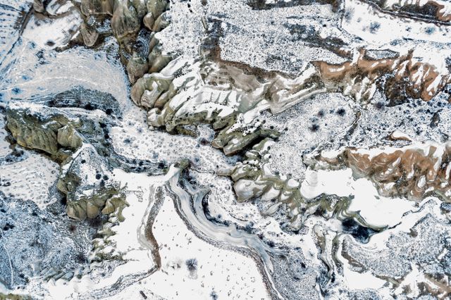
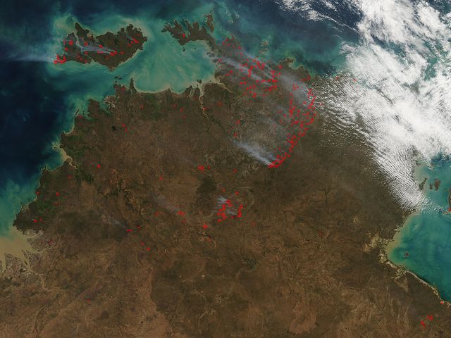
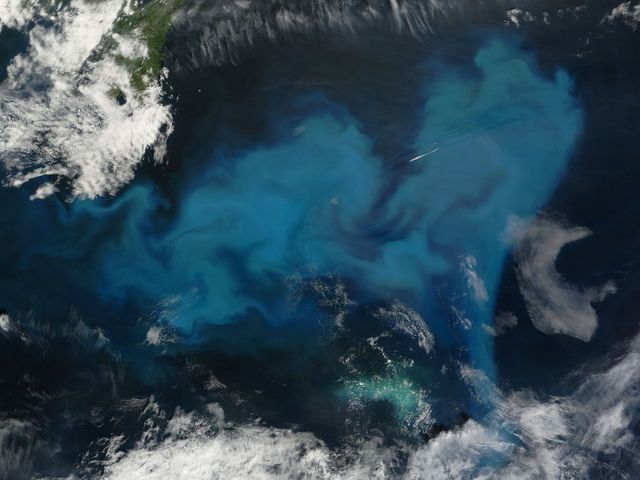
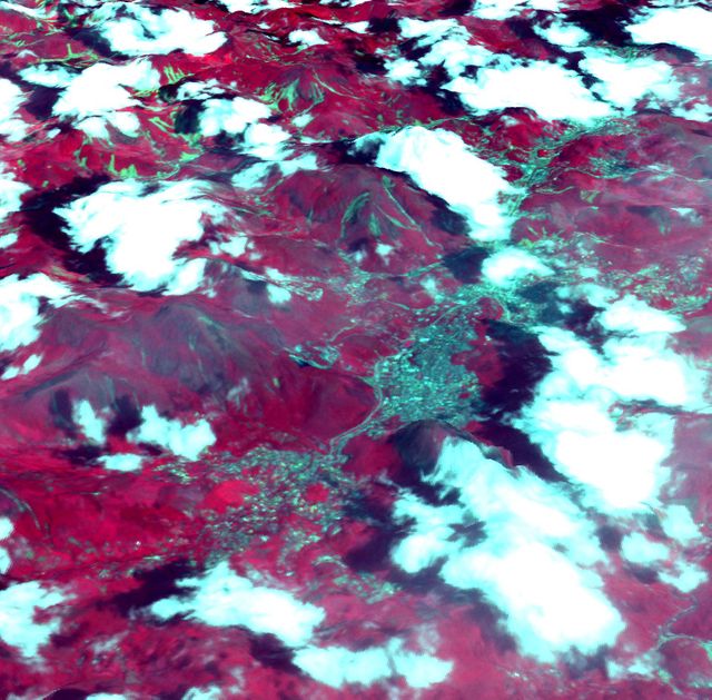
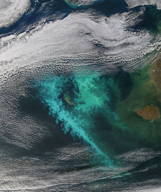
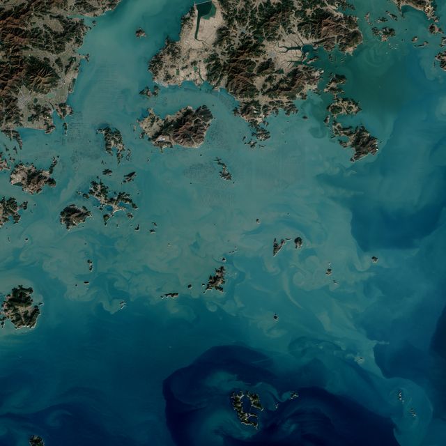
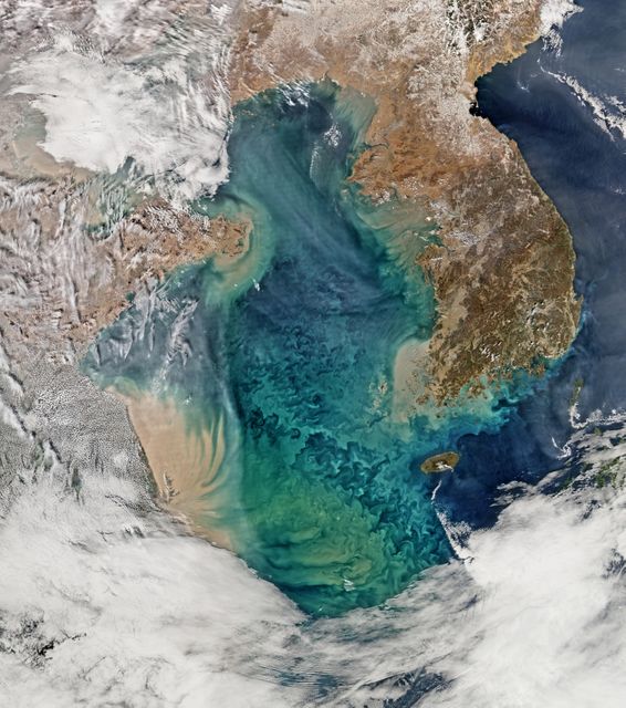
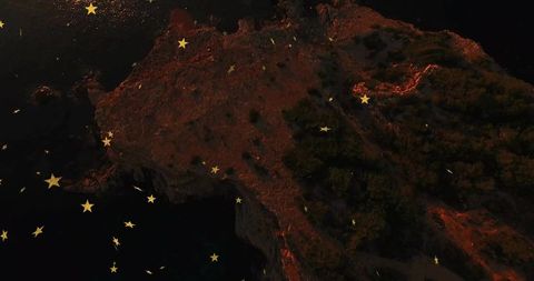
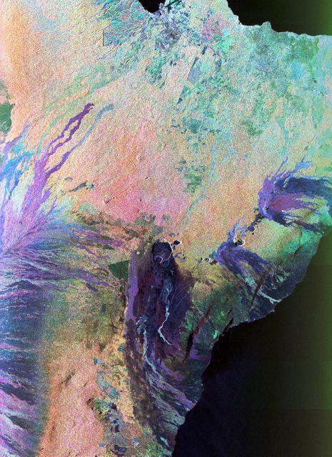
Satellite image vividly shows the extent of the Sherpa Fire in Santa Barbara County, California, highlighting burn areas in red. Valuable for environmental studies, fire impact assessments, and geographical analyses. The fire caused significant disruptions including road closures and affected large regions, visible from space, emphasizing the intensity and broader impact of the event.

Credit Photo
If you would like to credit the Photo, here are some ways you can do so
Text Link
photo Link
<span class="text-link">
<span>
<a target="_blank" href=https://pikwizard.com/photo/satellite-view-of-sherpa-fire-impact-in-santa-barbara-county-june-2016/cdfa249dbf7070206296d8e3a63b29d9/>PikWizard</a>
</span>
</span>
<span class="image-link">
<span
style="margin: 0 0 20px 0; display: inline-block; vertical-align: middle; width: 100%;"
>
<a
target="_blank"
href="https://pikwizard.com/photo/satellite-view-of-sherpa-fire-impact-in-santa-barbara-county-june-2016/cdfa249dbf7070206296d8e3a63b29d9/"
style="text-decoration: none; font-size: 10px; margin: 0;"
>
<img src="https://pikwizard.com/pw/medium/cdfa249dbf7070206296d8e3a63b29d9.jpg" style="margin: 0; width: 100%;" alt="" />
<p style="font-size: 12px; margin: 0;">PikWizard</p>
</a>
</span>
</span>
CC0 (Creative Commons Zero)
Free for personal and commercial use.