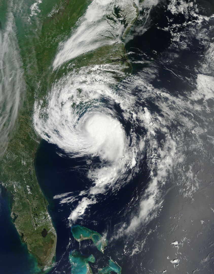
Satellite View of Tropical Storm Ana Near Carolinas Coast Image

This image illustrates Tropical Storm Ana just off the coast of the Carolinas, with the storm clearly visible from a satellite perspective. Ana's impact included heavy rain and winds in South Carolina and eastern North Carolina, causing beach erosion and a waterspout. The image is ideal for use in weather reporting, educational materials, or analyses related to climate change and storm formation patterns.
downloads
Credit Photo
If you would like to credit the Photo, here are some ways you can do so
CC0 (Creative Commons Zero)
Free for personal and commercial use.


