- Home >
- Stock Photos >
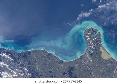
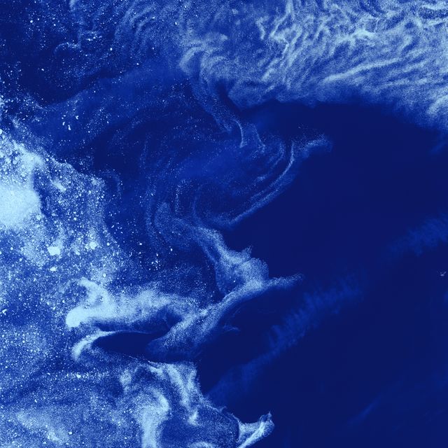
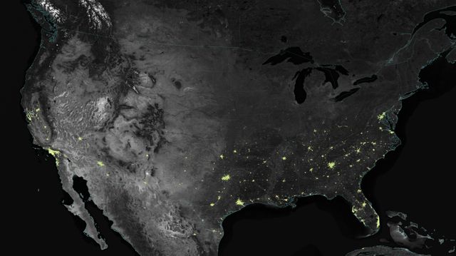
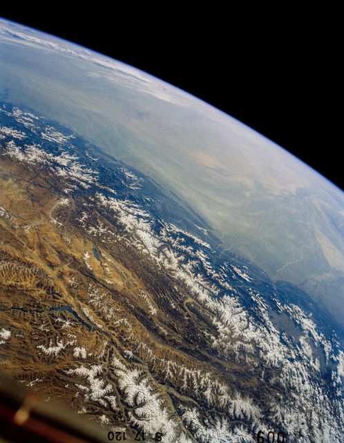
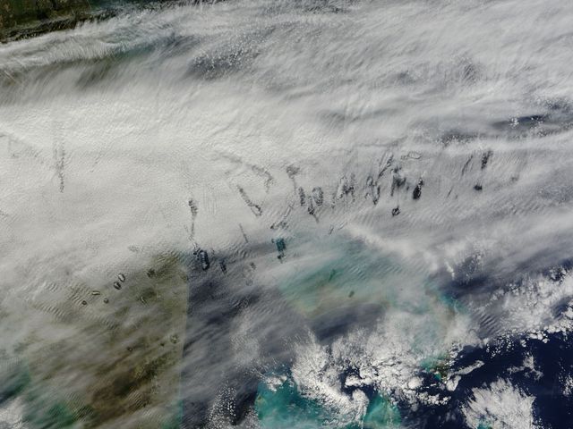
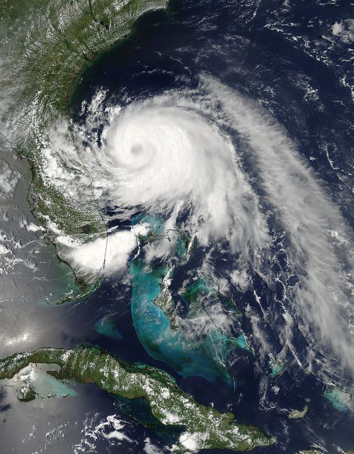
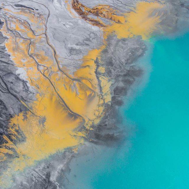
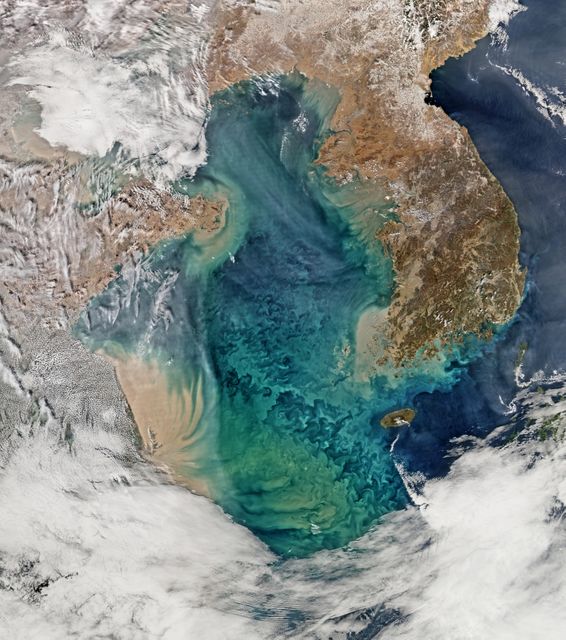
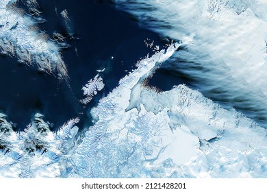
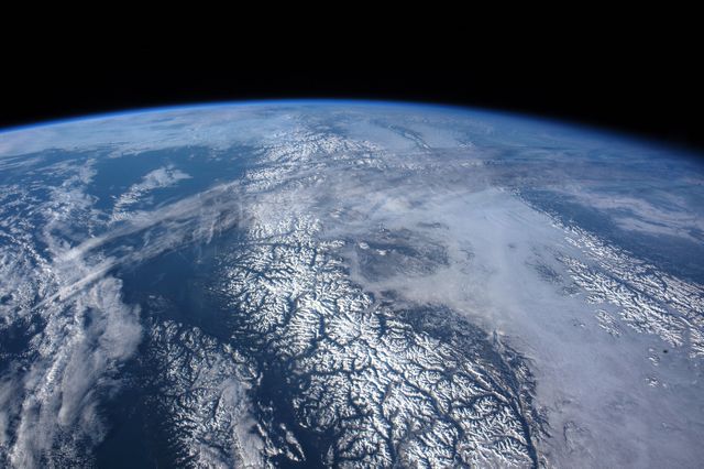
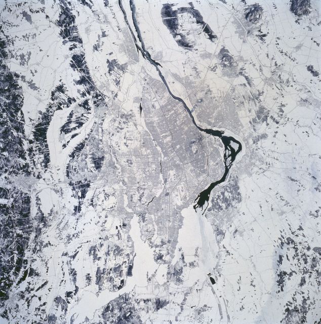
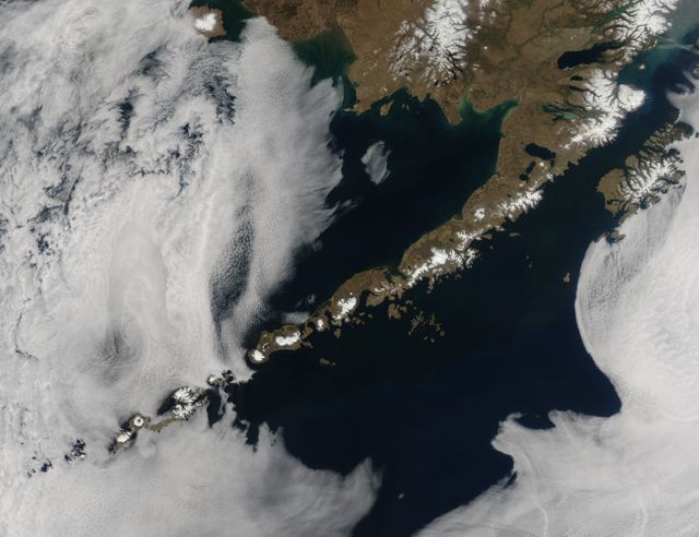
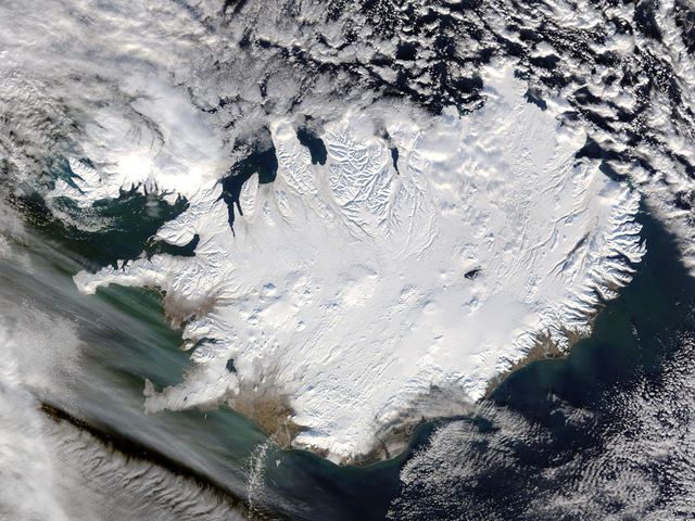
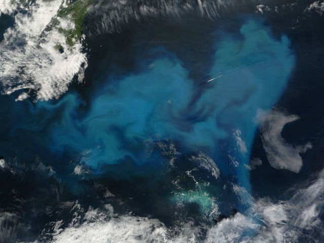
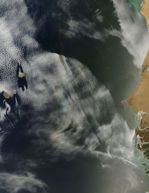
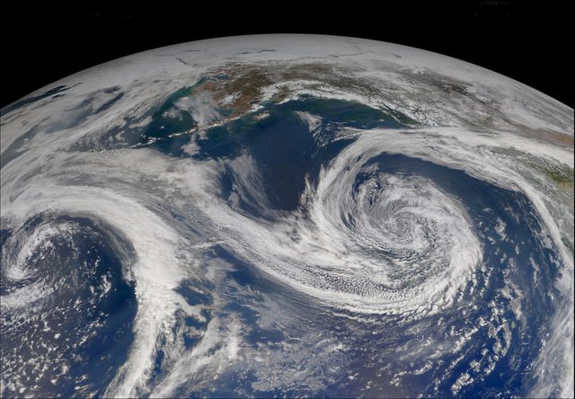
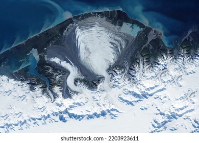
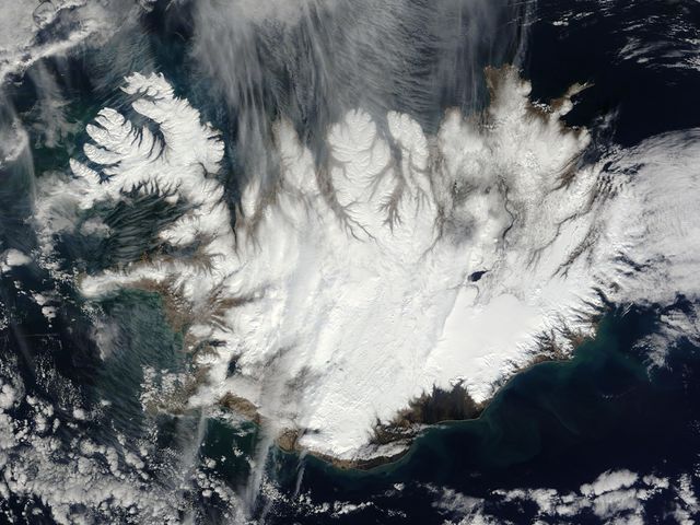
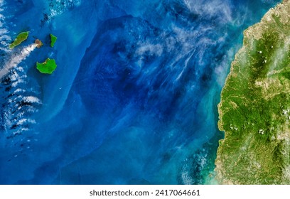
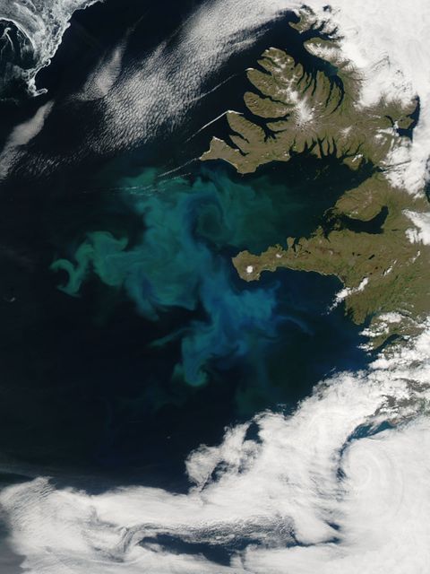
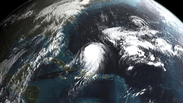
- Satellite View of Turquoise Ocean Currents and Snowy Mountains
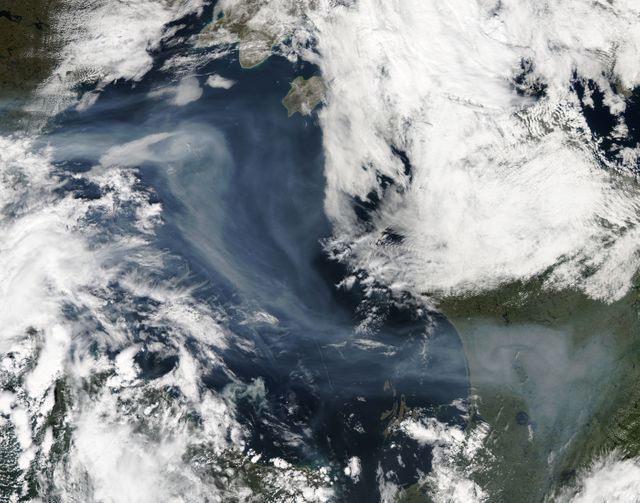
Satellite View of Turquoise Ocean Currents and Snowy Mountains Image
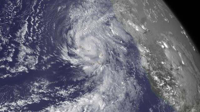
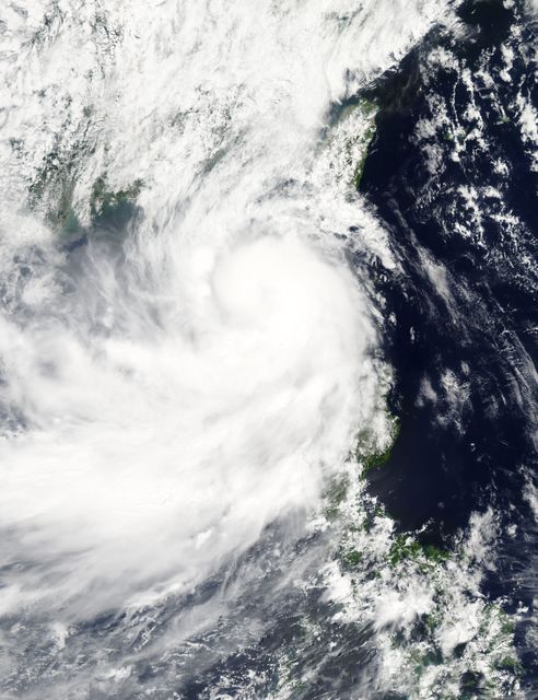
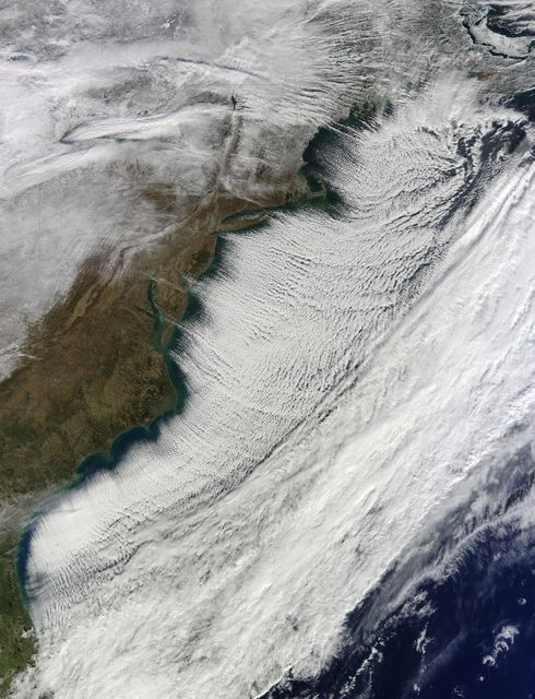
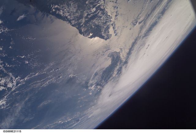
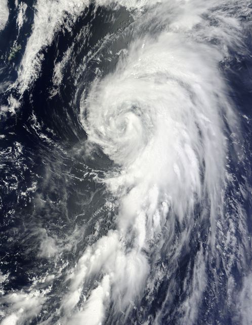
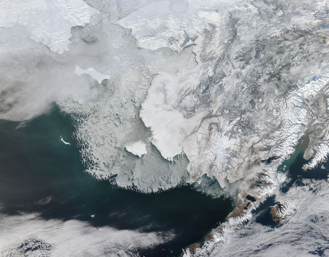
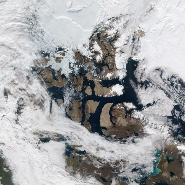
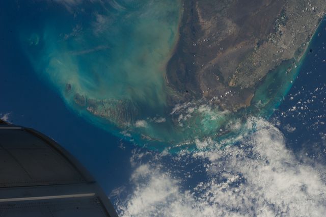
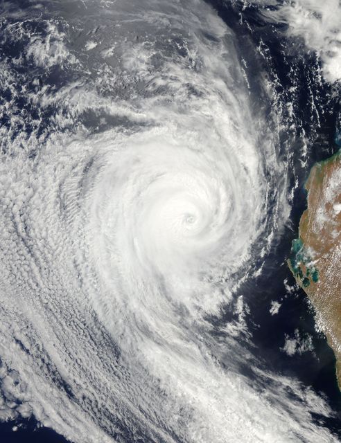
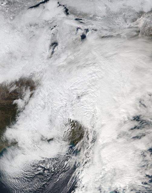
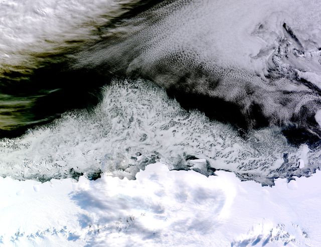
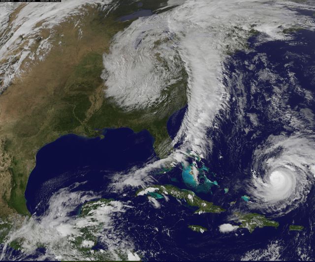
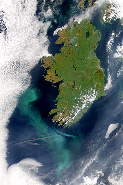
A dominant display of Earth's geography from a satellite view, with turquoise ocean currents circulating and white snowy mountains and land masses vivid and clear. This image is ideal for visualizing Earth's intricate geographical patterns, for scientific study off, climate change documentation, educational use regarding planet's geography, or promotional content for expeditions and the beauty of nature. Suitable for websites, magazines or any educational materials that bolster narrative with striking Earth visuals.
Powered by  - Get 15% off with code: PIKWIZARD15


Credit Photo
If you would like to credit the Photo, here are some ways you can do so
Text Link
photo Link
<span class="text-link">
<span>
<a target="_blank" href=https://pikwizard.com/photo/satellite-view-of-turquoise-ocean-currents-and-snowy-mountains/65b78a9fe18383e9f9aa50eaa2ada065/>PikWizard</a>
</span>
</span>
<span class="image-link">
<span
style="margin: 0 0 20px 0; display: inline-block; vertical-align: middle; width: 100%;"
>
<a
target="_blank"
href="https://pikwizard.com/photo/satellite-view-of-turquoise-ocean-currents-and-snowy-mountains/65b78a9fe18383e9f9aa50eaa2ada065/"
style="text-decoration: none; font-size: 10px; margin: 0;"
>
<img src="https://pikwizard.com/pw/medium/65b78a9fe18383e9f9aa50eaa2ada065.jpg" style="margin: 0; width: 100%;" alt="" />
<p style="font-size: 12px; margin: 0;">PikWizard</p>
</a>
</span>
</span>
CC0 (Creative Commons Zero)
Free for personal and commercial use.
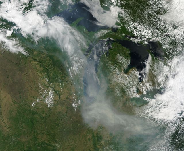
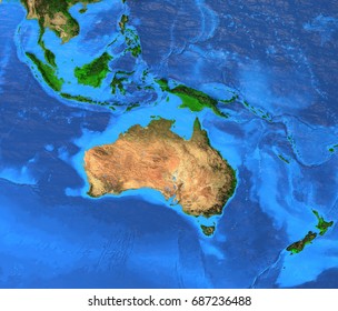
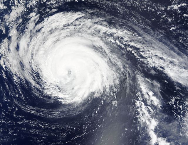
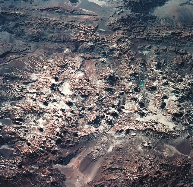
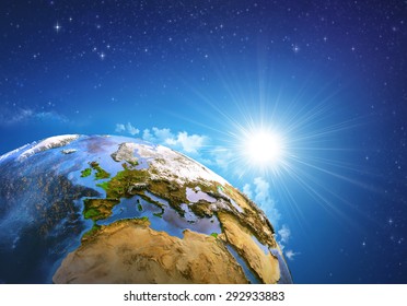
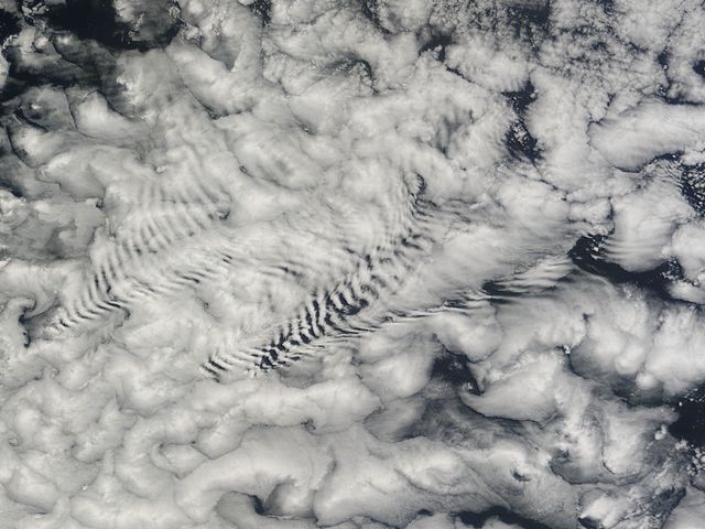
Similar Free Stock Images
Loading...
Premium


Premium

Premium

Premium

Premium
Premium
Premium
Premium
Premium

Premium

Premium

Premium

Premium

Premium

Premium

Premium
Premium

Premium

Premium

Premium
Premium

Premium
Premium

Premium

Premium