- Home >
- Stock Photos >
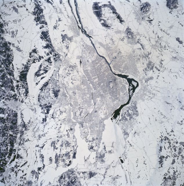
- Satellite View of Vancouver and Fraser River from Landsat 5, 2011
Satellite View of Vancouver and Fraser River from Landsat 5, 2011 Image
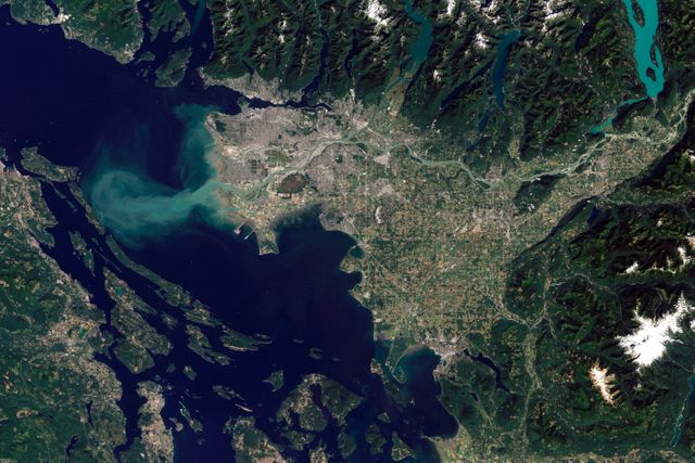
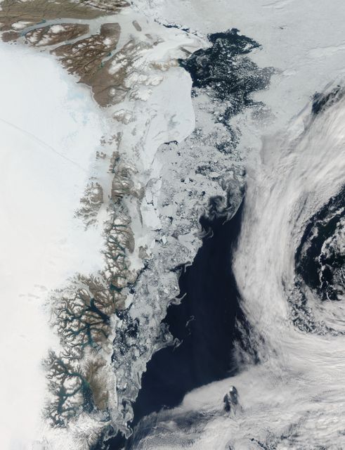
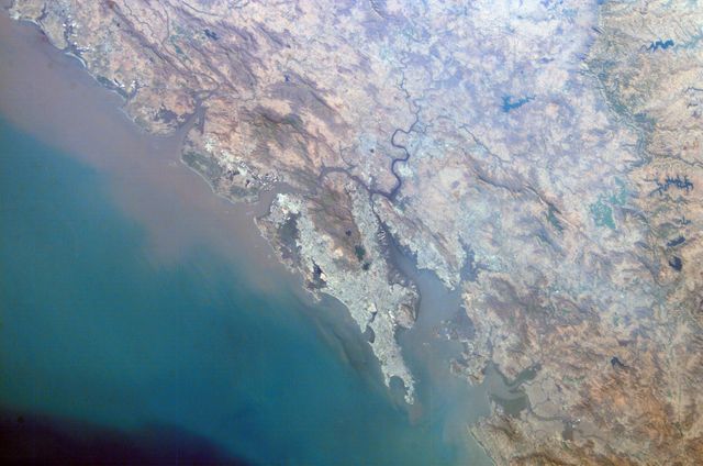
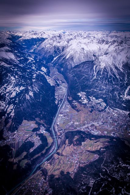
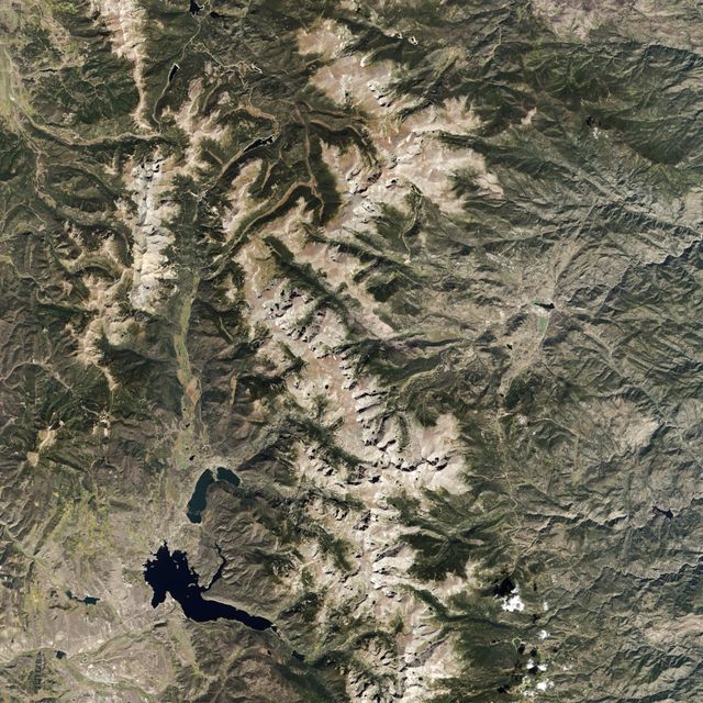
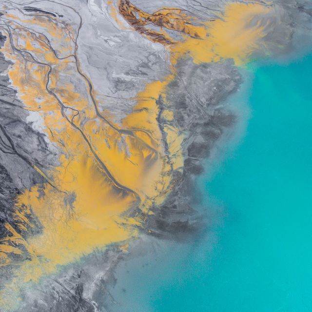
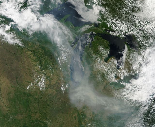
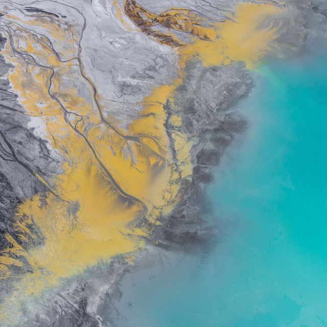
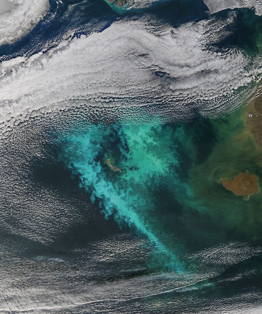
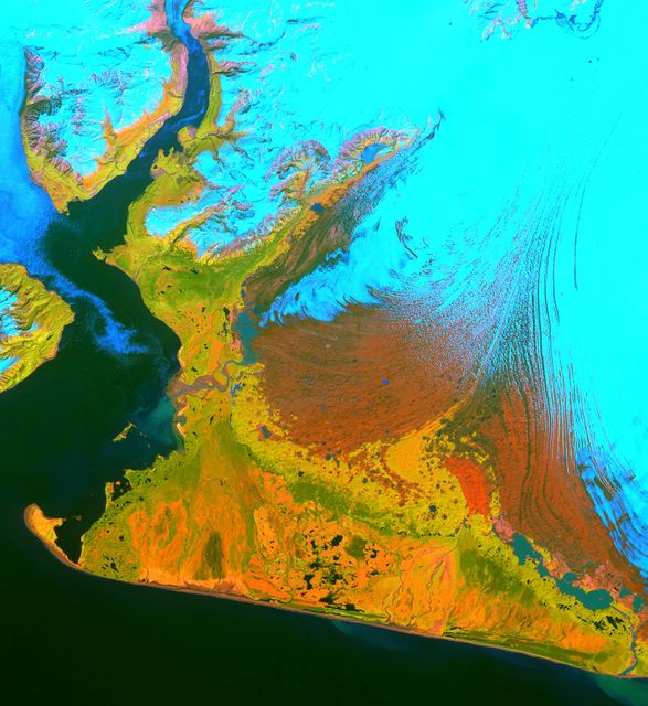
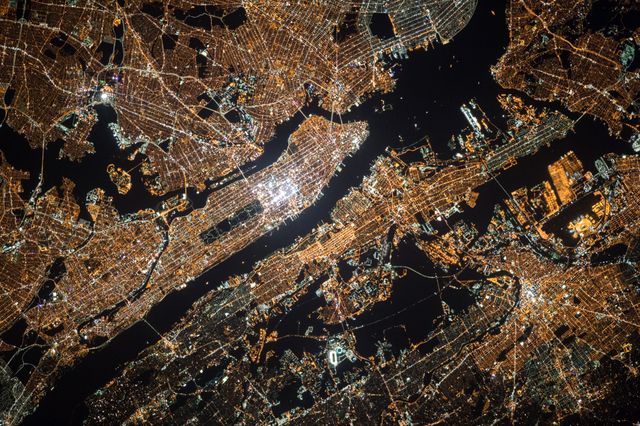
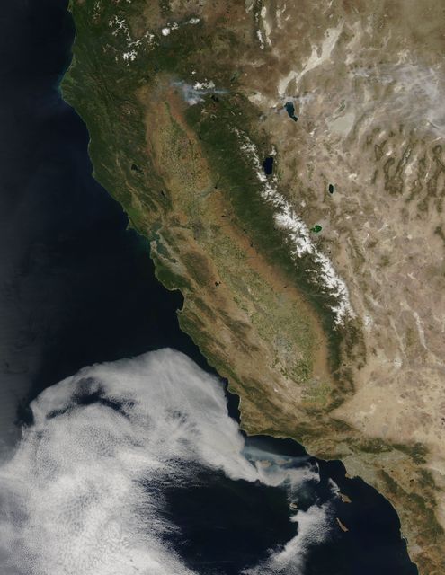
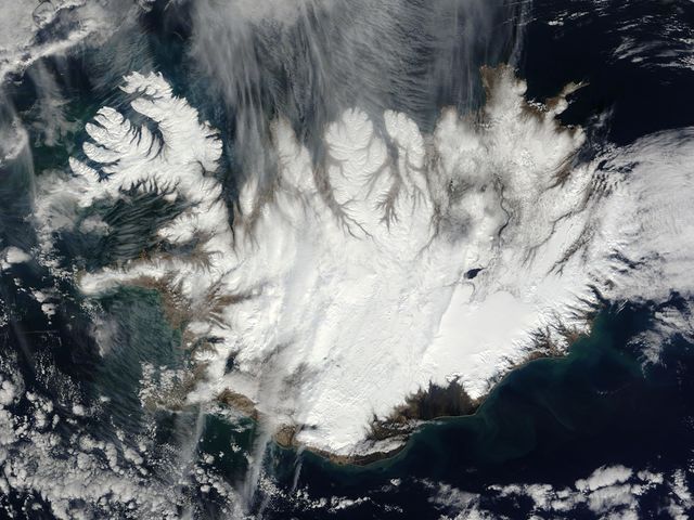
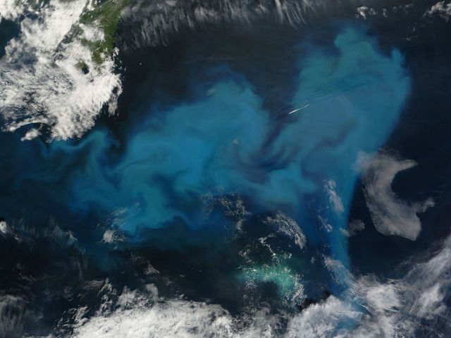
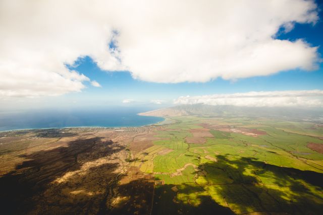
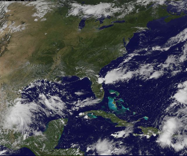
An aerial view of Vancouver and the Fraser River captured by Landsat 5's Thematic Mapper on September 7, 2011. The image shows the intricate pathways of the Fraser River as it dispenses into the ocean through multiple braided channels. This detailed depiction is useful for geographical analysis, environmental studies, and city planning. Perfect for educational materials, environmental research, and illustrations of geographic features of the British Columbia region.

Credit Photo
If you would like to credit the Photo, here are some ways you can do so
Text Link
photo Link
<span class="text-link">
<span>
<a target="_blank" href=https://pikwizard.com/photo/satellite-view-of-vancouver-and-fraser-river-from-landsat-5-2011/a0133d2e4534ecb6cdd693db97c65035/>PikWizard</a>
</span>
</span>
<span class="image-link">
<span
style="margin: 0 0 20px 0; display: inline-block; vertical-align: middle; width: 100%;"
>
<a
target="_blank"
href="https://pikwizard.com/photo/satellite-view-of-vancouver-and-fraser-river-from-landsat-5-2011/a0133d2e4534ecb6cdd693db97c65035/"
style="text-decoration: none; font-size: 10px; margin: 0;"
>
<img src="https://pikwizard.com/pw/medium/a0133d2e4534ecb6cdd693db97c65035.jpg" style="margin: 0; width: 100%;" alt="" />
<p style="font-size: 12px; margin: 0;">PikWizard</p>
</a>
</span>
</span>
CC0 (Creative Commons Zero)
Free for personal and commercial use.