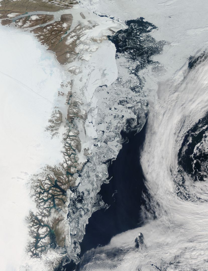
Sea Ice and Melting Glaciers off the Greenland Coast, Captured by NASA Satellite Image

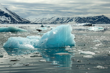
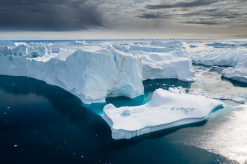
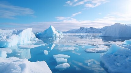
This satellite image of the Greenland coast captured on July 16, 2015, shows large chunks of melting sea ice, shaped by winds and currents, alongside fresh meltwater from glaciers and newly calved icebergs. The image is useful for environmental and climate change studies, educational materials related to global warming, and media articles discussing the impacts of rising global temperatures on Arctic ice.
downloads
Credit Photo
If you would like to credit the Photo, here are some ways you can do so
CC0 (Creative Commons Zero)
Free for personal and commercial use.


