- Home >
- Stock Photos >
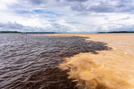
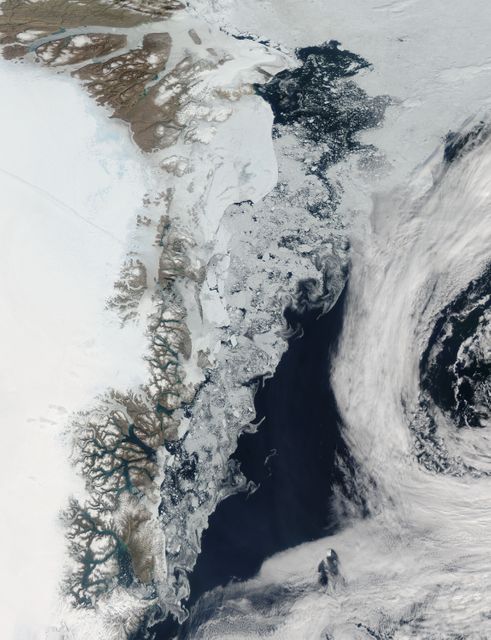
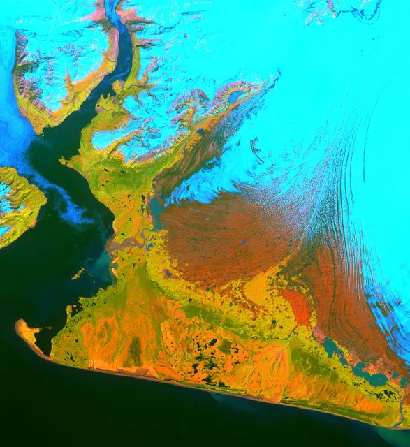
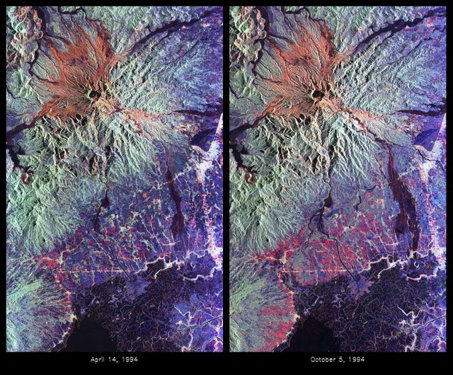
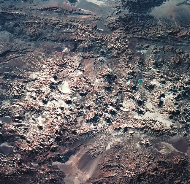
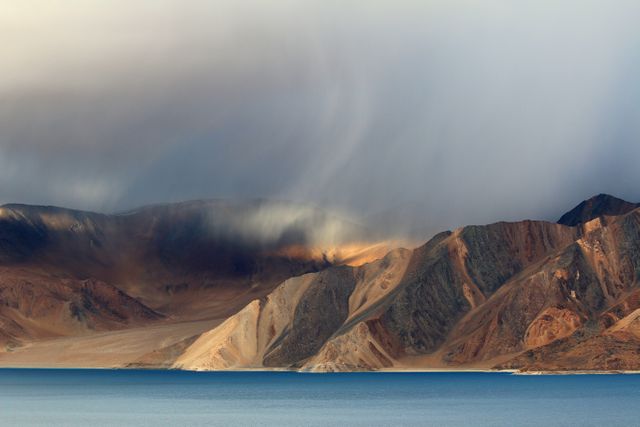
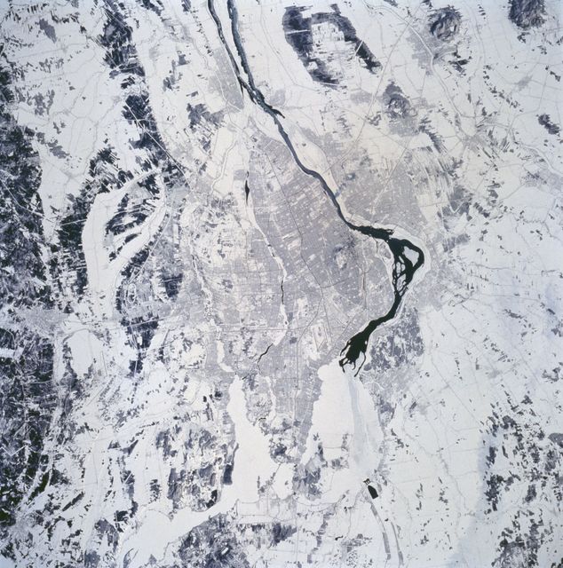
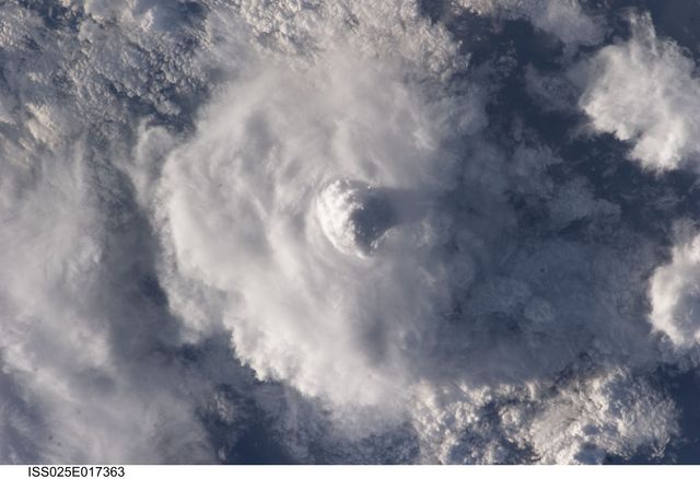
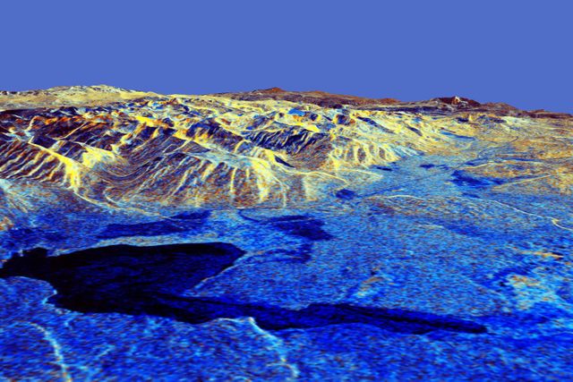
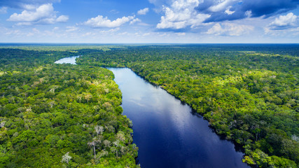
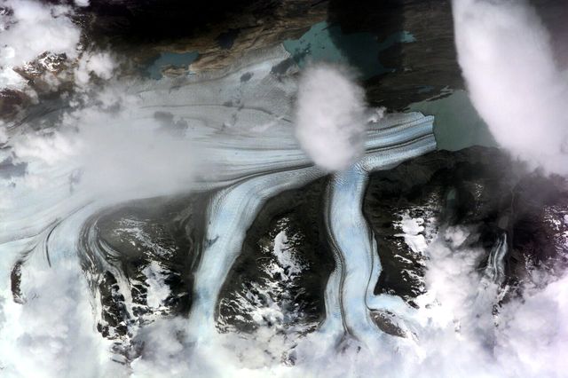
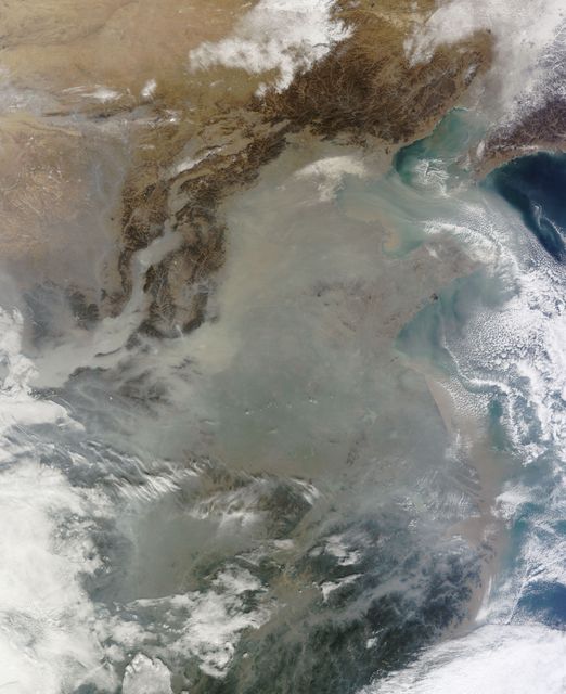
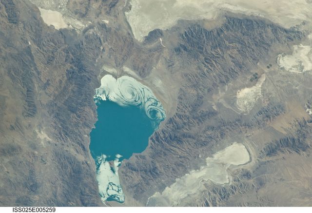
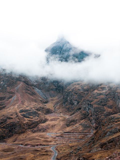
- Seasonal Flooding Analysis in Manaus Region, Brazil using Spaceborne Imaging Radar
Seasonal Flooding Analysis in Manaus Region, Brazil using Spaceborne Imaging Radar Image
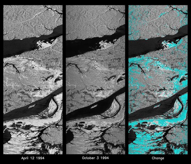
These images compare radar data of the Manaus region from April 12, 1994, and October 3, 1994, highlighting seasonal changes in flooding. The left and middle images show reflections of flood extents, while the right image illustrates changes, with blue areas indicating decrease in flooding. Useful for studies on environmental impact, flood management, habitat analysis, and climate change.
Powered by 


Credit Photo
If you would like to credit the Photo, here are some ways you can do so
Text Link
photo Link
<span class="text-link">
<span>
<a target="_blank" href=https://pikwizard.com/photo/seasonal-flooding-analysis-in-manaus-region-brazil-using-spaceborne-imaging-radar/c58bd172bb82dae38a099f236ce884c5/>PikWizard</a>
</span>
</span>
<span class="image-link">
<span
style="margin: 0 0 20px 0; display: inline-block; vertical-align: middle; width: 100%;"
>
<a
target="_blank"
href="https://pikwizard.com/photo/seasonal-flooding-analysis-in-manaus-region-brazil-using-spaceborne-imaging-radar/c58bd172bb82dae38a099f236ce884c5/"
style="text-decoration: none; font-size: 10px; margin: 0;"
>
<img src="https://pikwizard.com/pw/medium/c58bd172bb82dae38a099f236ce884c5.jpg" style="margin: 0; width: 100%;" alt="" />
<p style="font-size: 12px; margin: 0;">PikWizard</p>
</a>
</span>
</span>
CC0 (Creative Commons Zero)
Free for personal and commercial use.
Similar Free Stock Images
Loading...

Premium

Premium

Premium

Premium


Premium

Premium


Premium


Premium


Premium


Premium


Premium

Premium


Premium


Premium


Premium


Premium


Premium

Premium


Premium

Premium


Premium


Premium


Premium
Premium


Premium