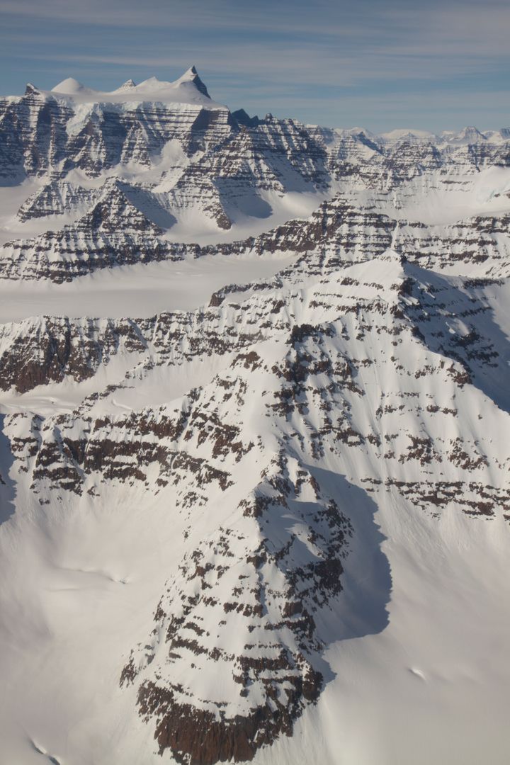
Snow-Covered Mountains in Geikie Plateau, Eastern Greenland, Aerial View Image

Aerial view captures the snow-covered peaks and distinctive geological features of the Geikie Plateau region in eastern Greenland. This image was taken during a NASA IceBridge mission flight on April 16, 2012, offering a three-dimensional perspective of the Arctic ice landscape. Ideal for use in stories or educational material related to climate change, geology, polar exploration, and NASA's IceBridge mission.
downloads
Credit Photo
If you would like to credit the Photo, here are some ways you can do so
CC0 (Creative Commons Zero)
Free for personal and commercial use.


