- Home >
- Stock Photos >
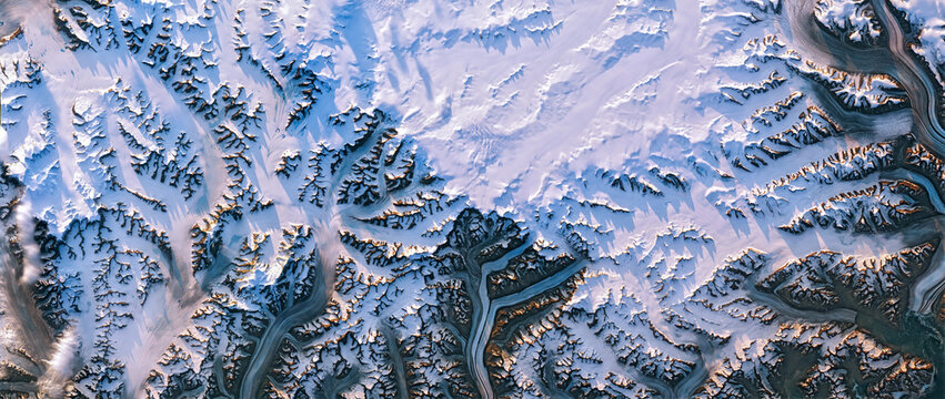
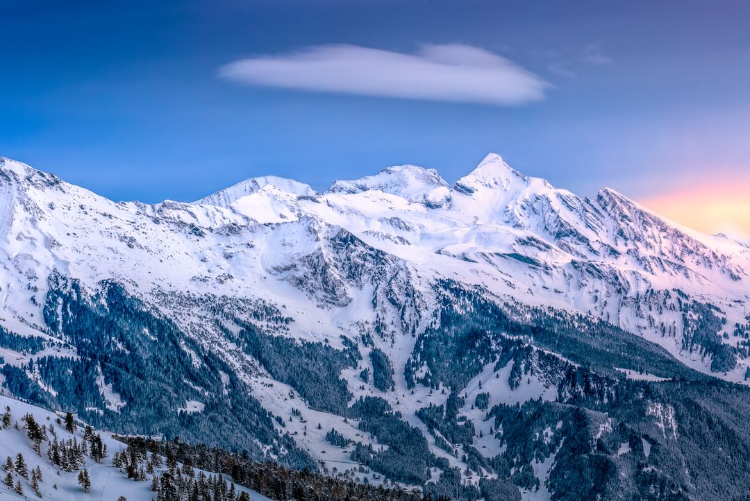
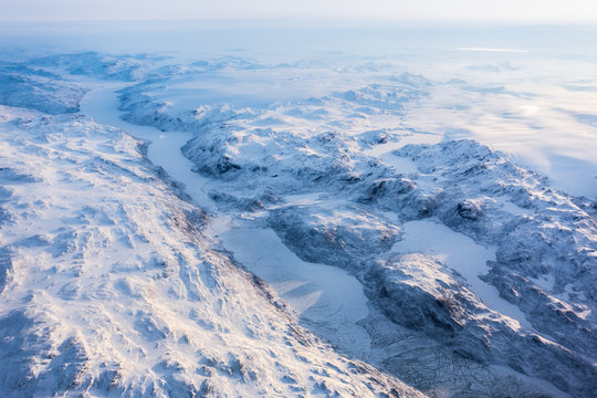
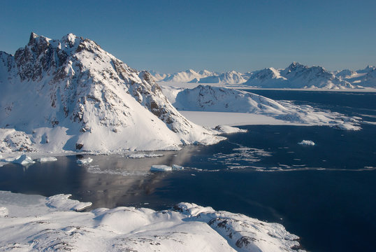
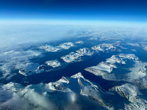
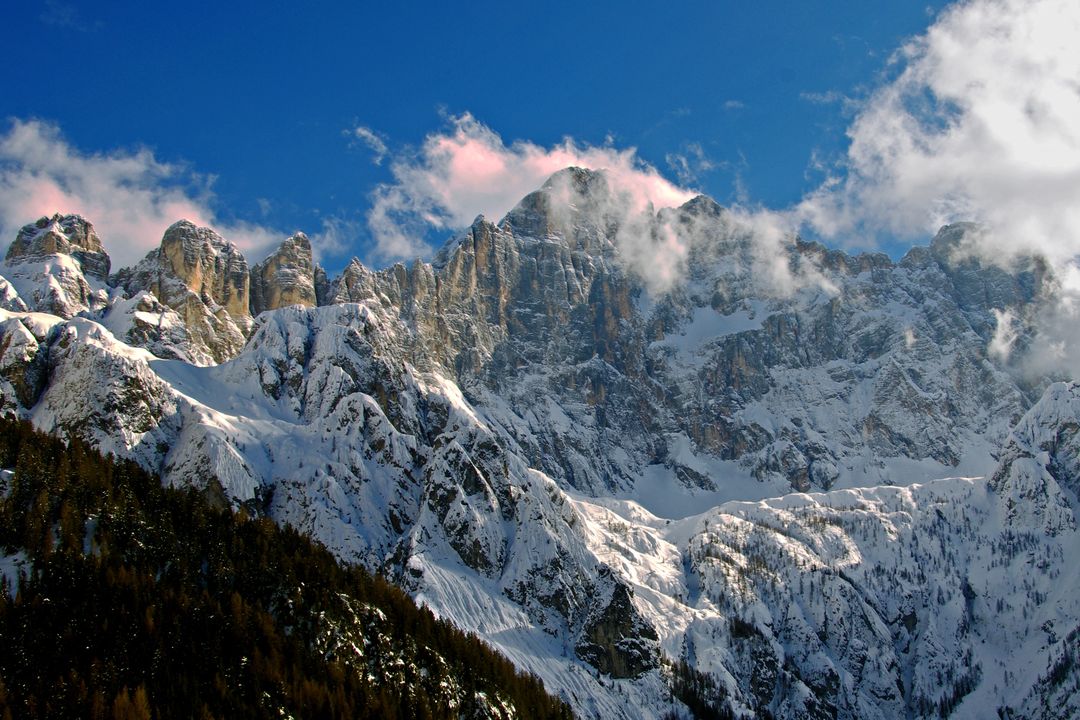
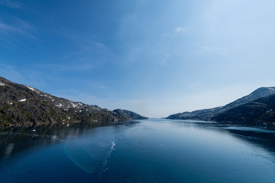
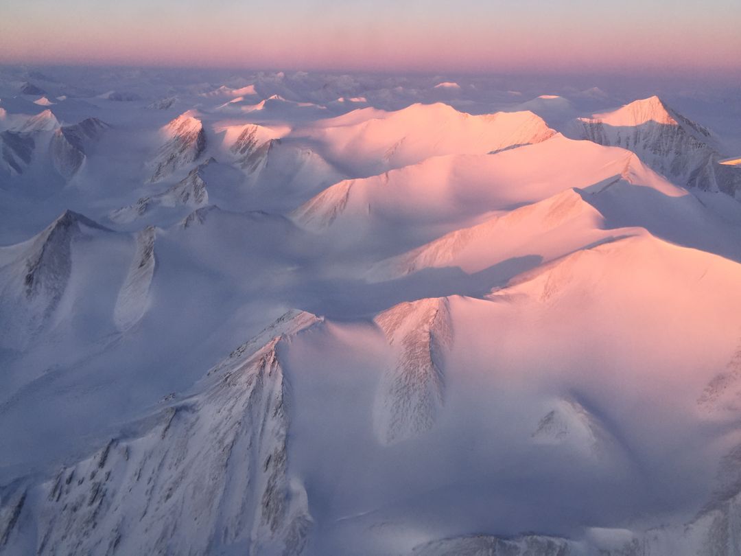
- Snow-Covered Mountains in Greenland Captured During Operation IceBridge
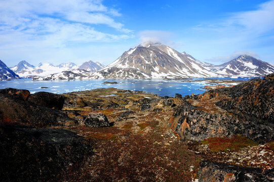
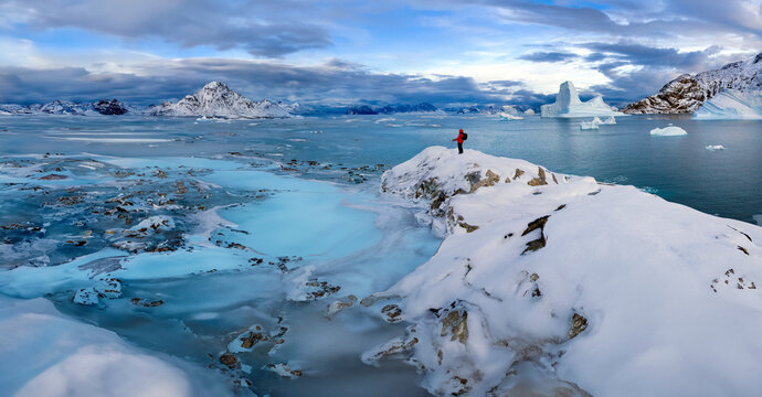
Snow-Covered Mountains in Greenland Captured During Operation IceBridge Image
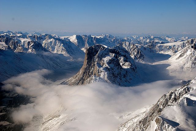
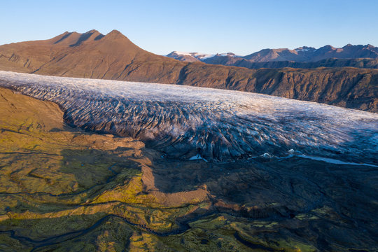
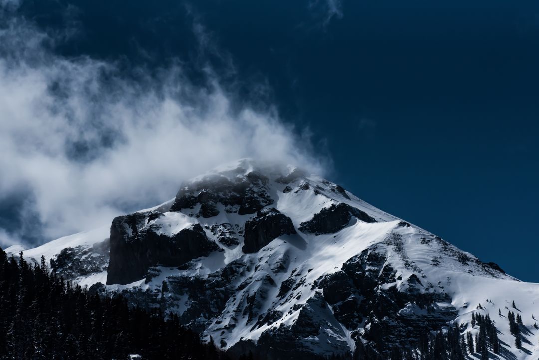
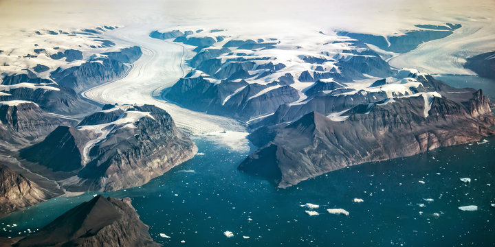
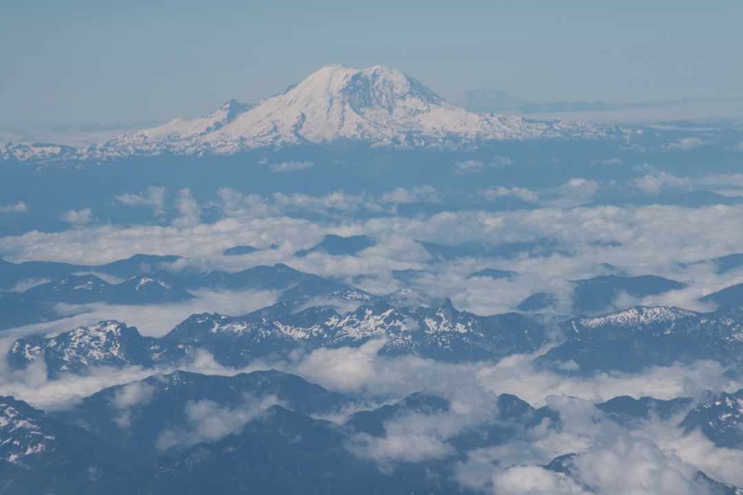
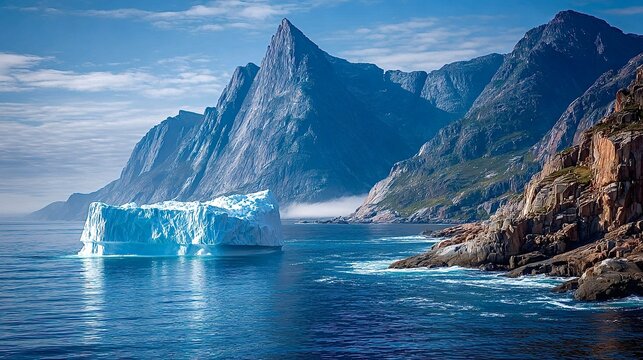
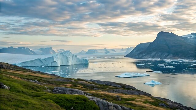
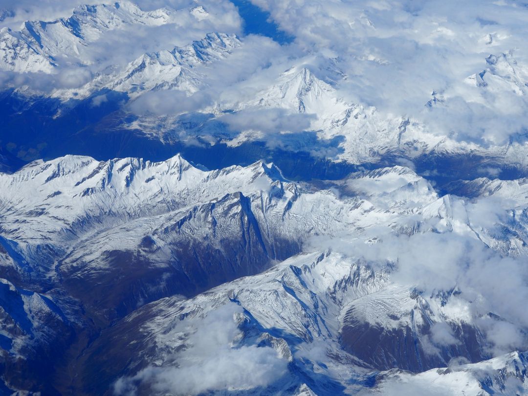
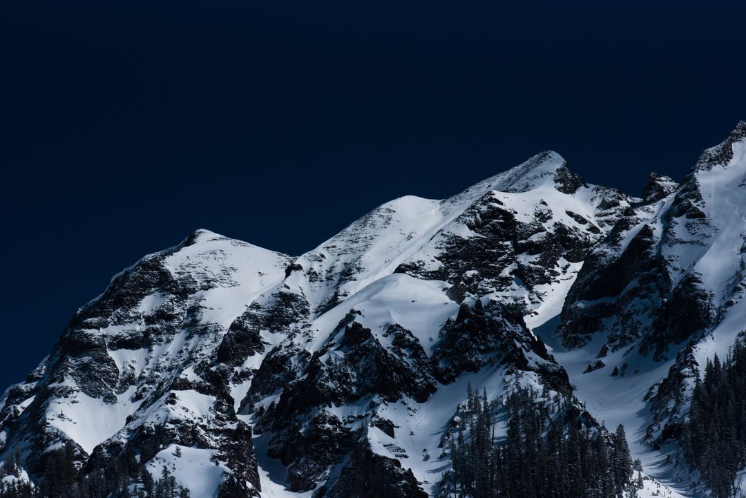
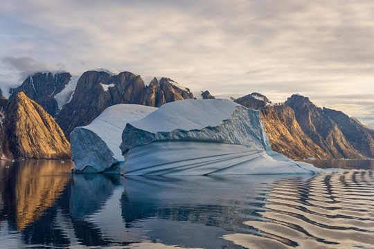
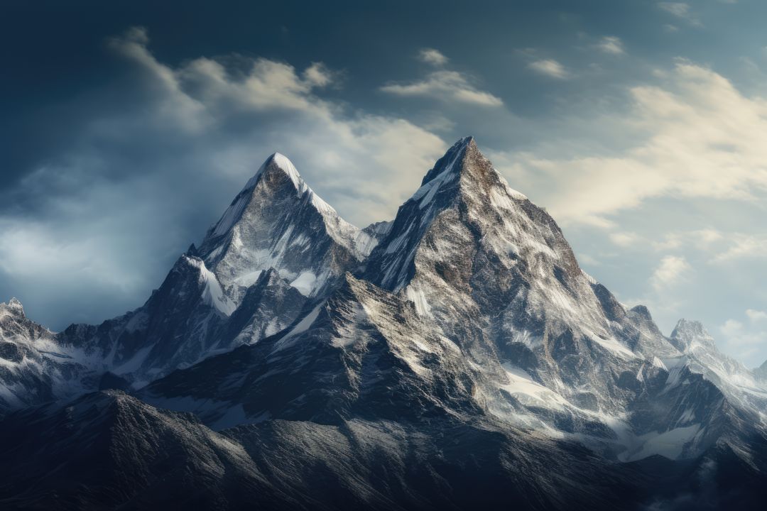
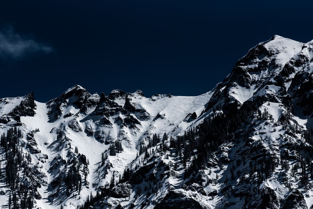
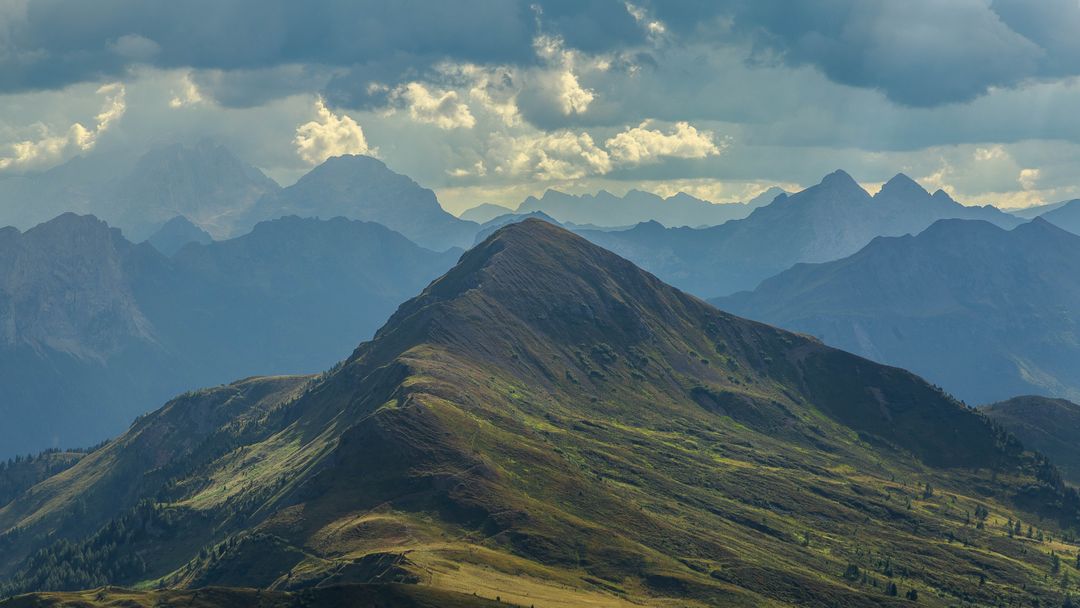
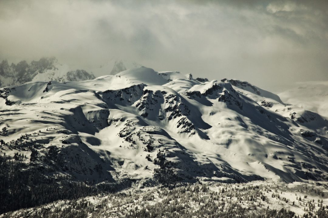
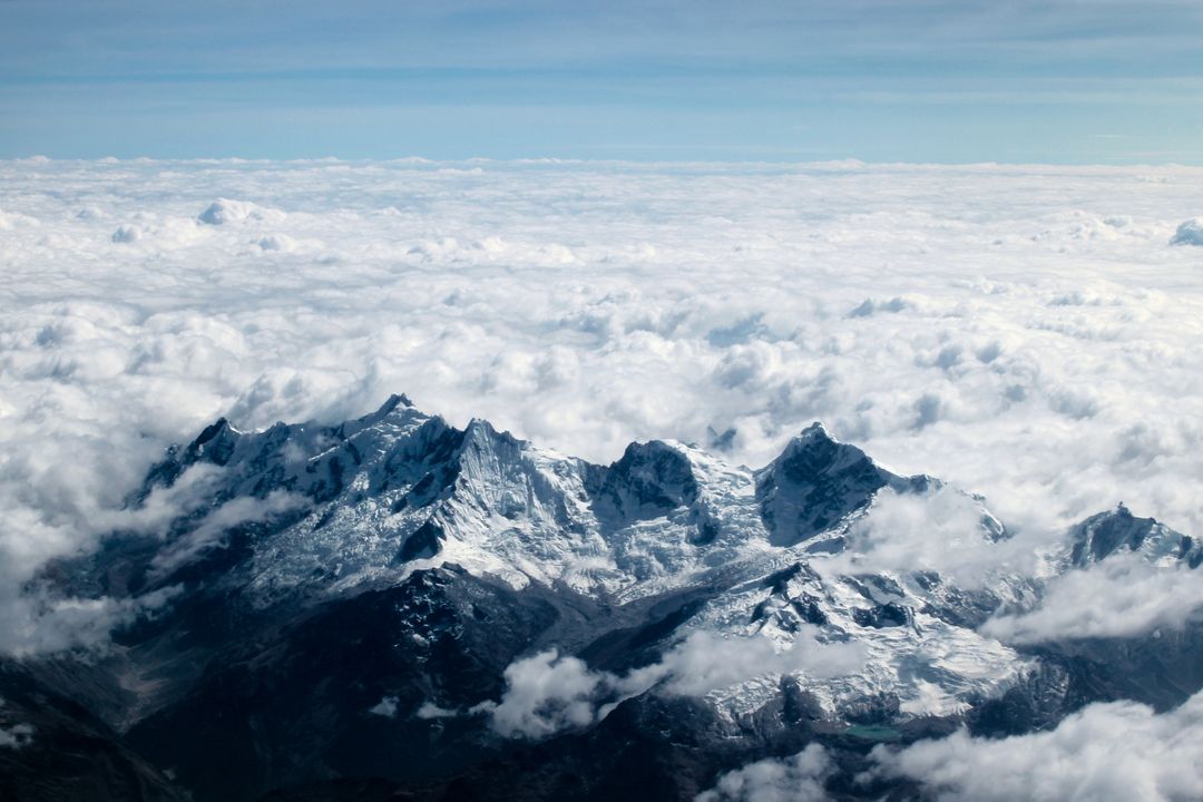
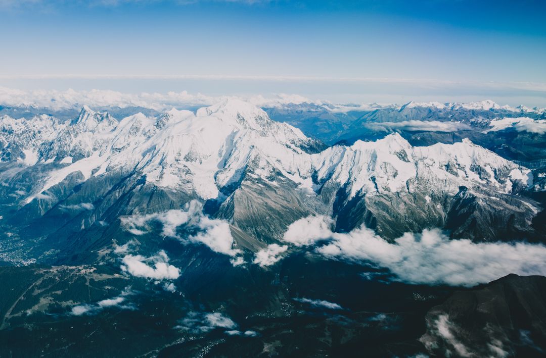
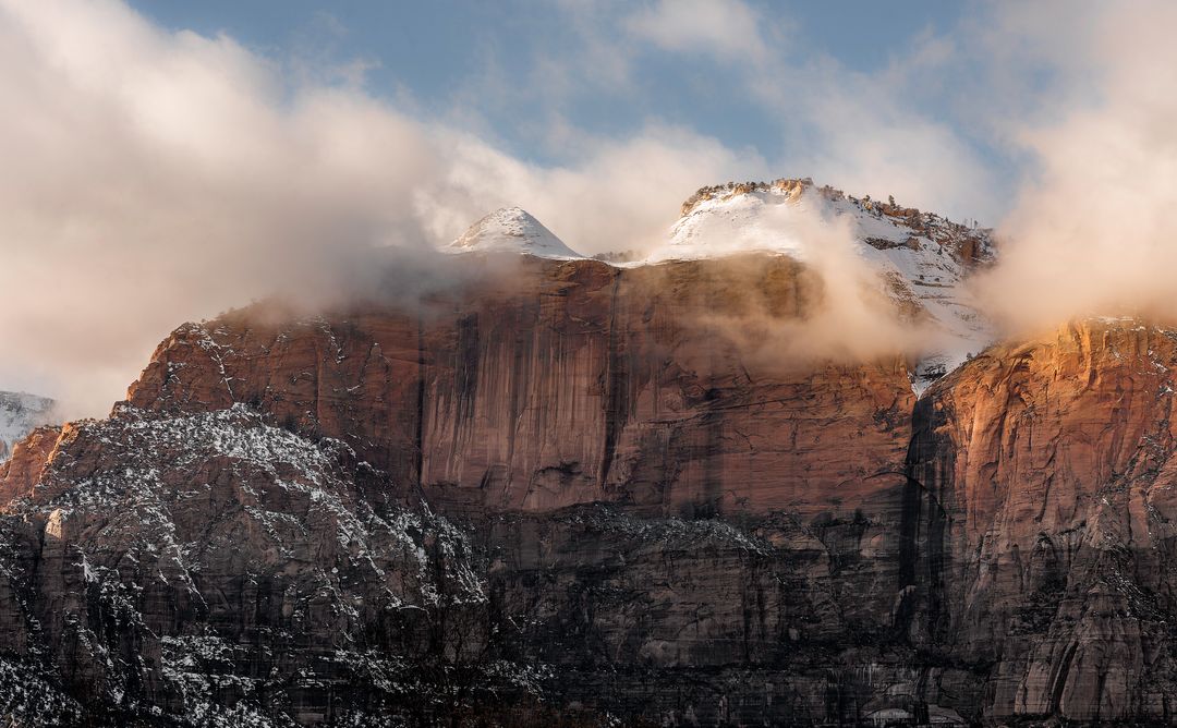
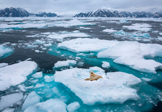
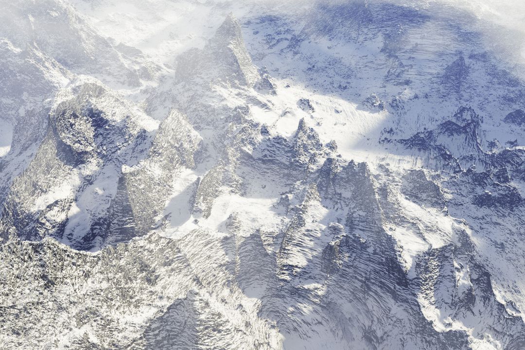
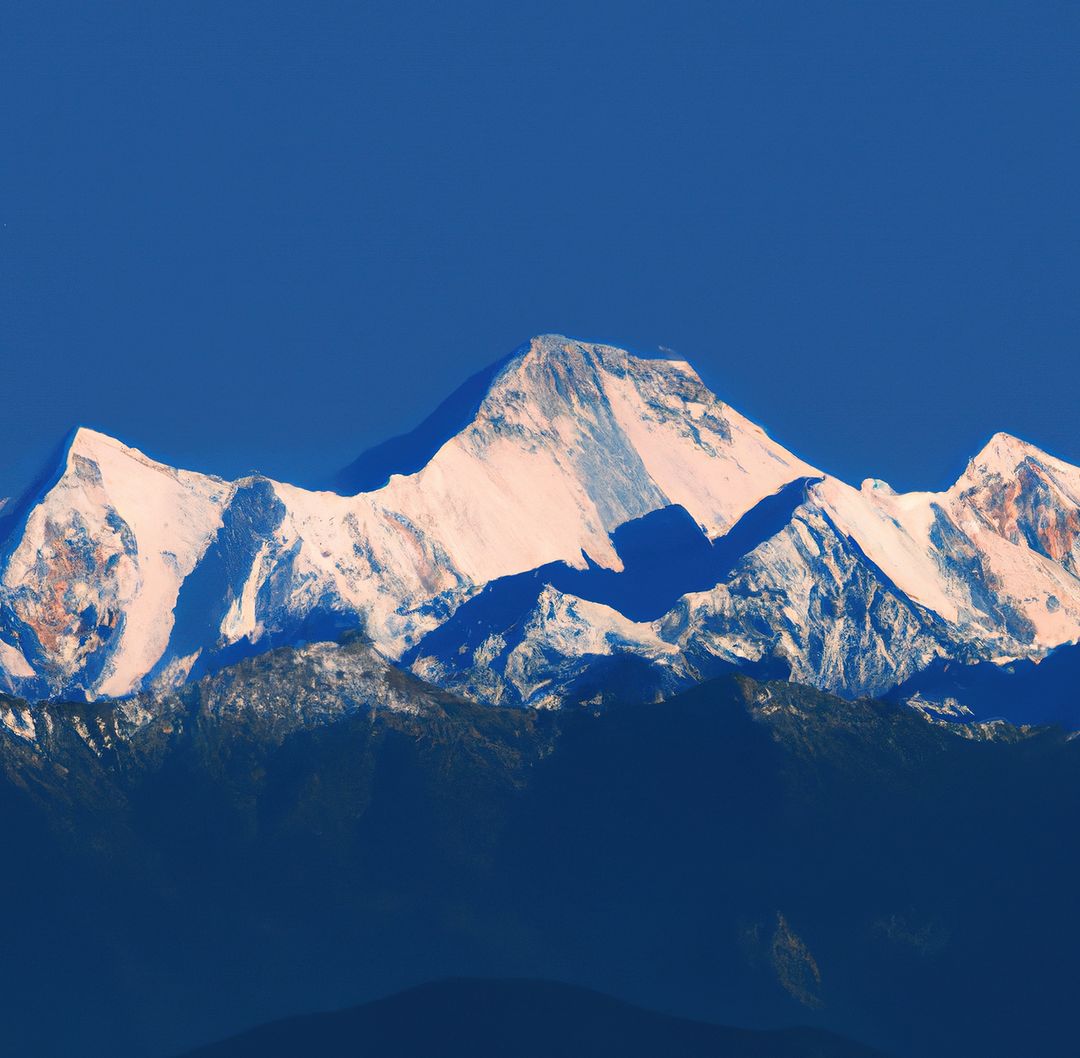
A stunning aerial view of snow-covered mountains in southwest Greenland captured during Operation IceBridge on April 8, 2011. The mountains and an open-water fjord surround a small ice cap known as Sukkertoppen Isflade. This image is ideal for environmental studies, educational materials on glaciology and remote sensing, and promotional content for climate change awareness campaigns.
Powered by 

Credit Photo
If you would like to credit the Photo, here are some ways you can do so
Text Link
photo Link
<span class="text-link">
<span>
<a target="_blank" href=https://pikwizard.com/photo/snow-covered-mountains-in-greenland-captured-during-operation-icebridge/bf4286f024dc217b3513c0749b85b5e9/>PikWizard</a>
</span>
</span>
<span class="image-link">
<span
style="margin: 0 0 20px 0; display: inline-block; vertical-align: middle; width: 100%;"
>
<a
target="_blank"
href="https://pikwizard.com/photo/snow-covered-mountains-in-greenland-captured-during-operation-icebridge/bf4286f024dc217b3513c0749b85b5e9/"
style="text-decoration: none; font-size: 10px; margin: 0;"
>
<img src="https://pikwizard.com/pw/medium/bf4286f024dc217b3513c0749b85b5e9.jpg" style="margin: 0; width: 100%;" alt="" />
<p style="font-size: 12px; margin: 0;">PikWizard</p>
</a>
</span>
</span>
CC0 (Creative Commons Zero)
Free for personal and commercial use.
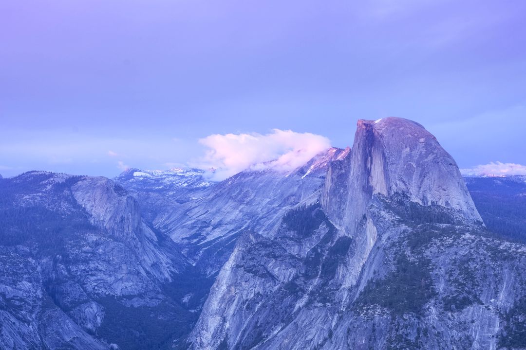
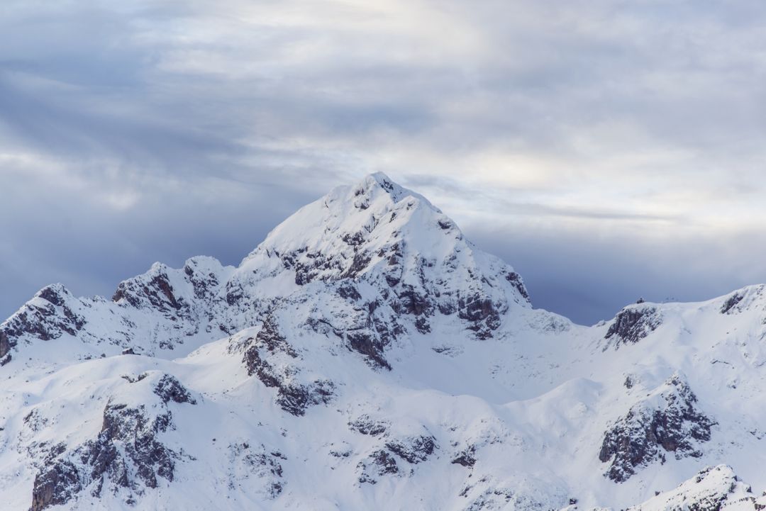
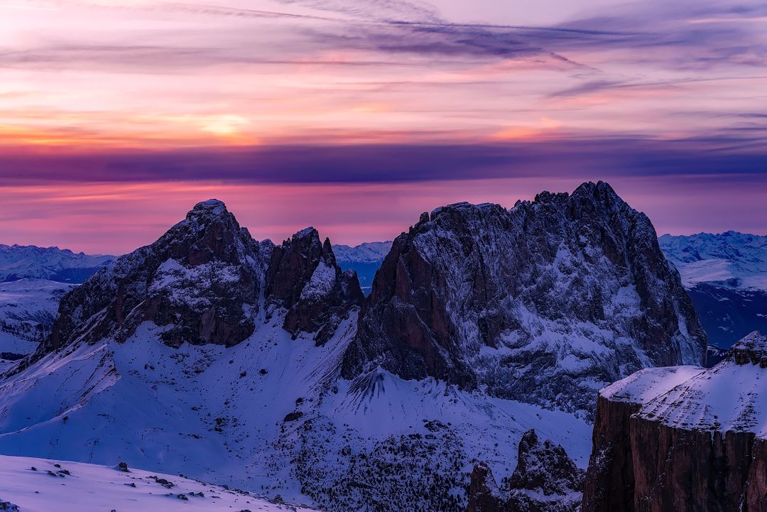
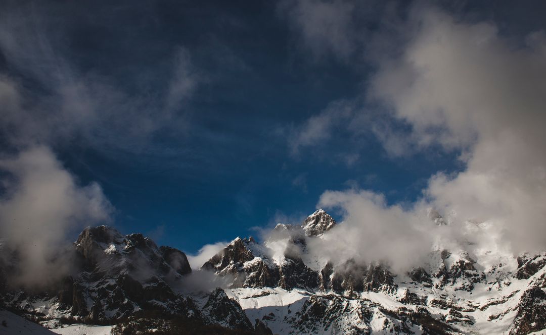
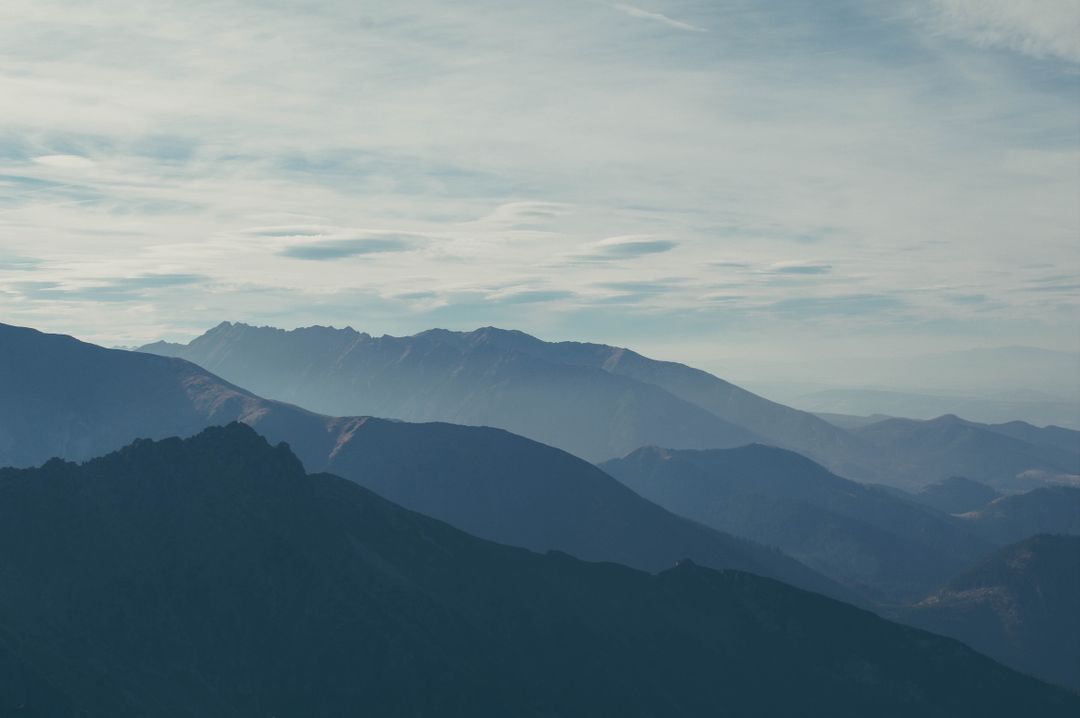
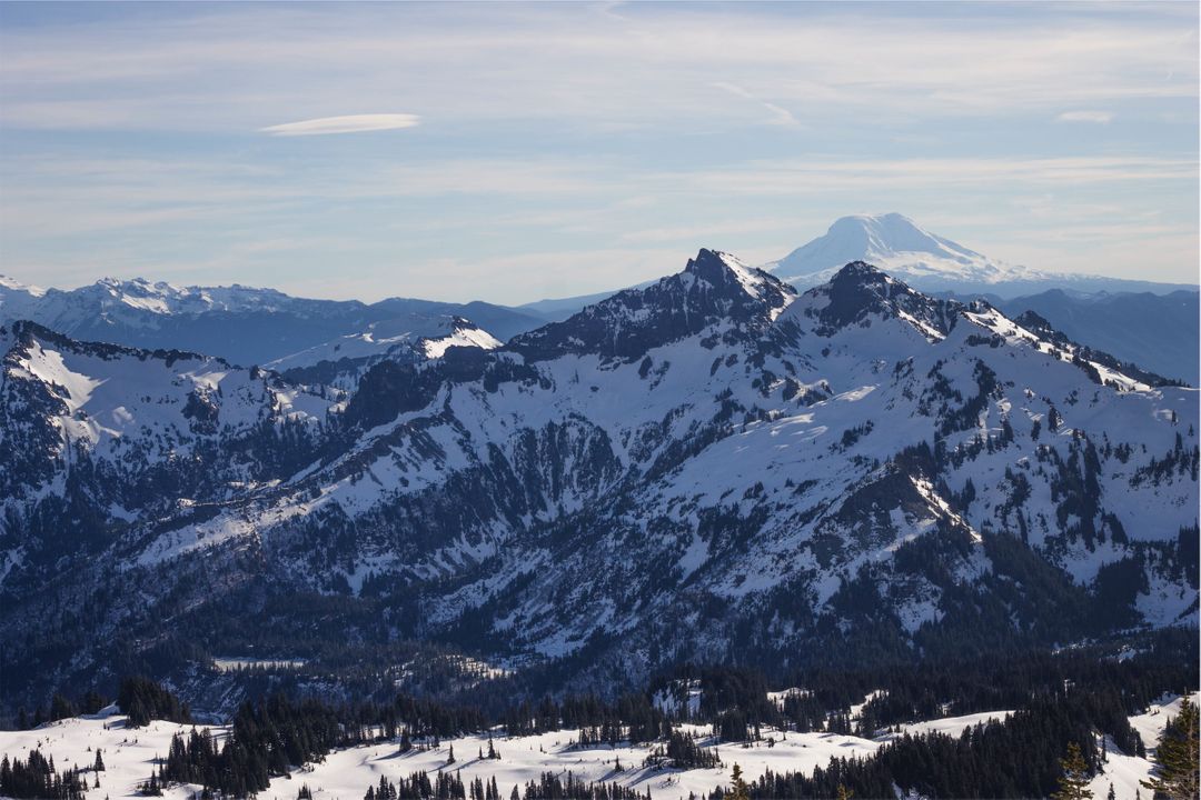
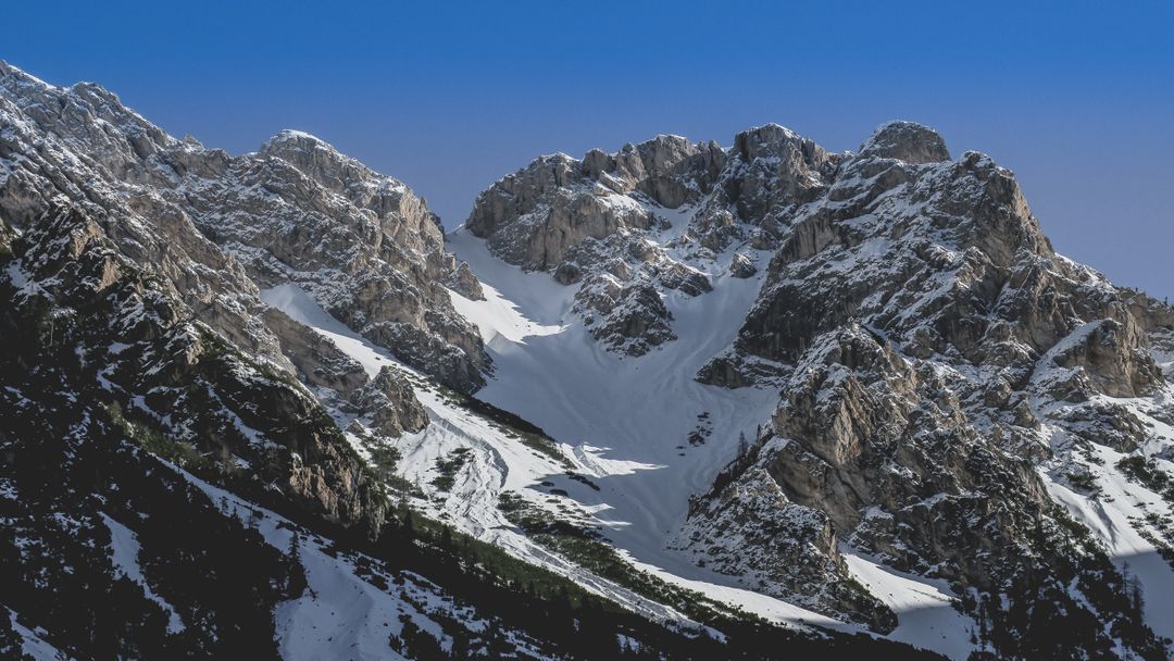
Similar Free Stock Images

Premium
Premium

Premium
Premium
Premium

Premium


Premium
Premium
Premium
Premium
Premium
Premium


Premium
Premium
Premium

Premium

Premium


Premium


Premium
Premium
Premium

Premium
Premium


Premium