- Home >
- Stock Photos >
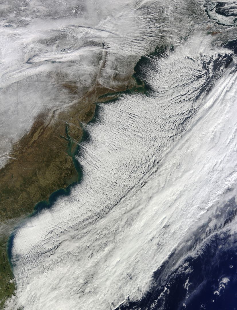
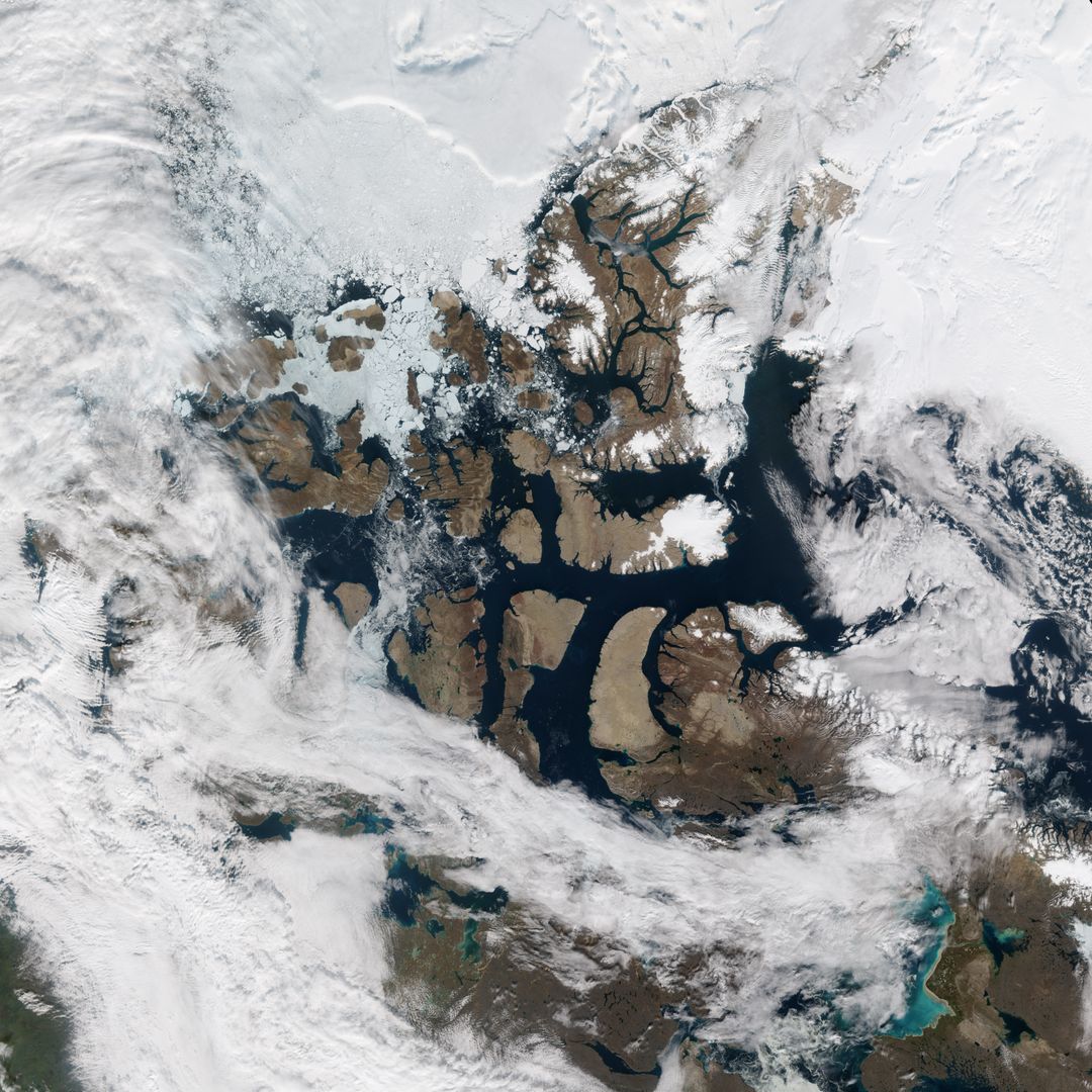
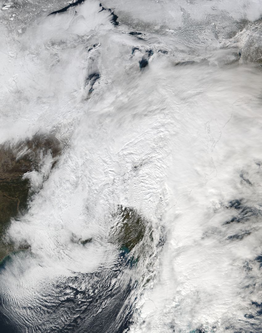
- Snow-Covered Northeastern United States from Space on Last Day of Meteorological Winter 2014
Snow-Covered Northeastern United States from Space on Last Day of Meteorological Winter 2014 Image
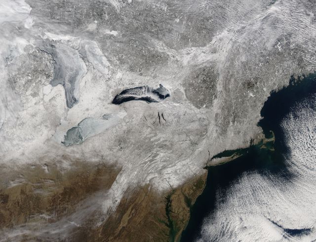
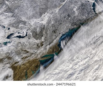
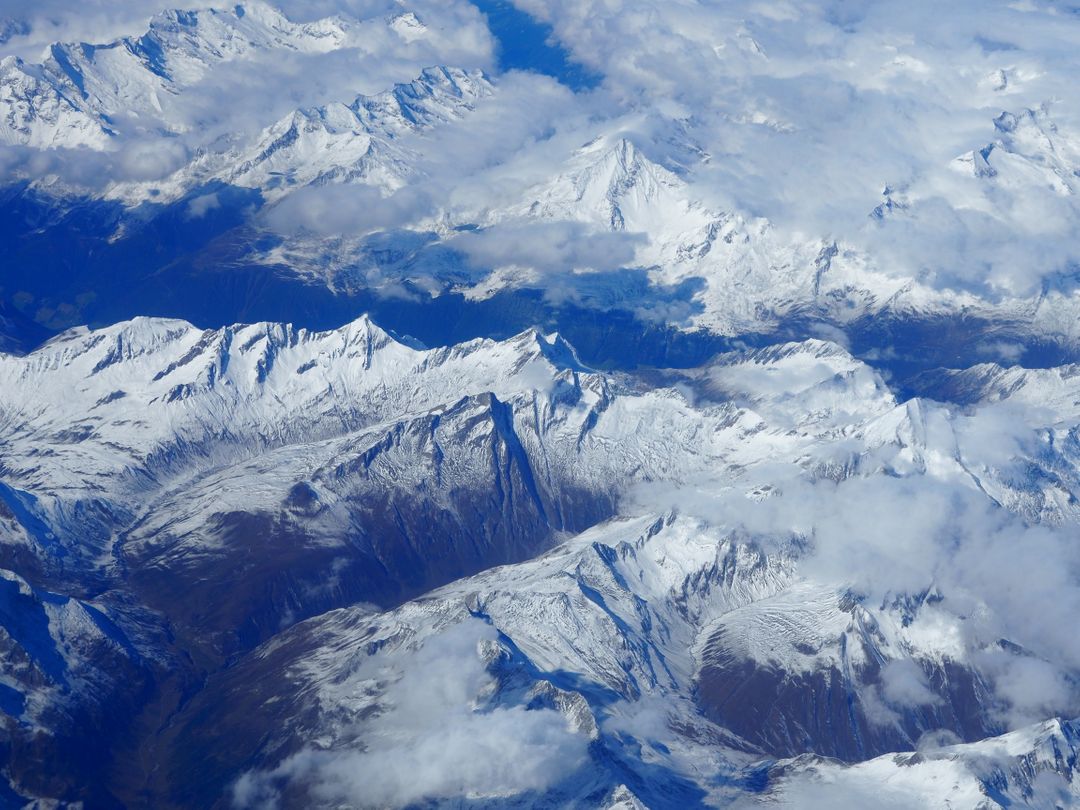
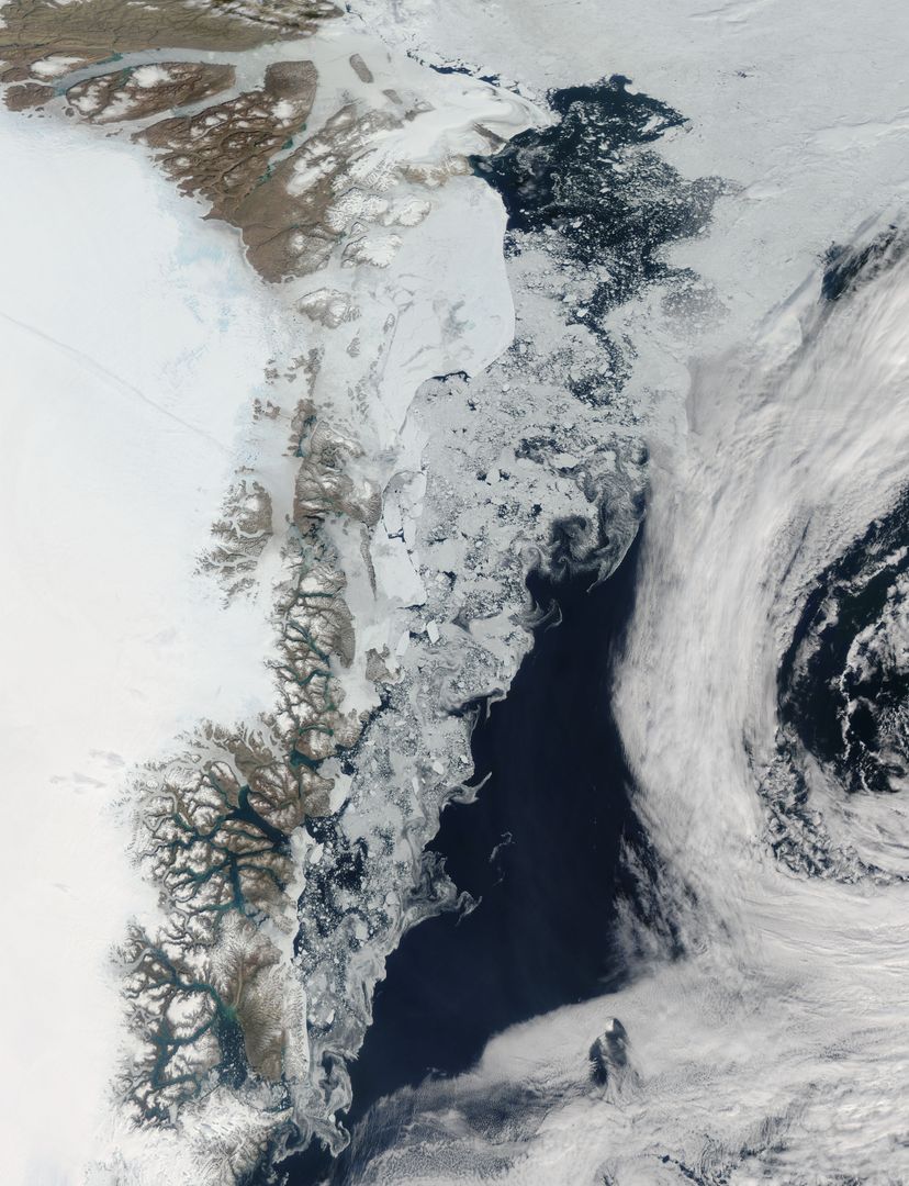
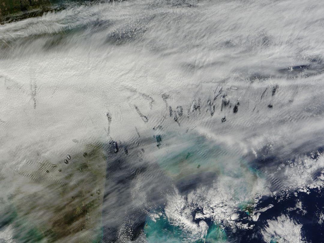
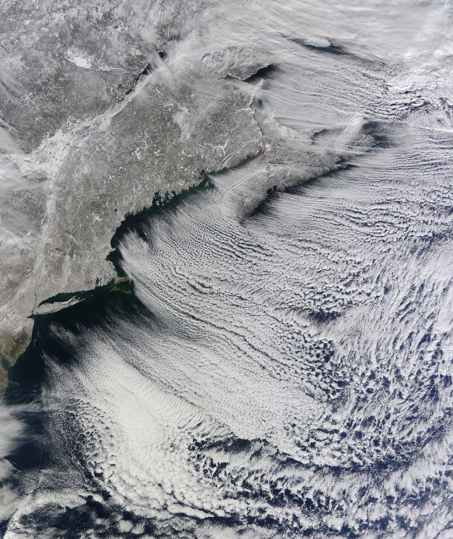
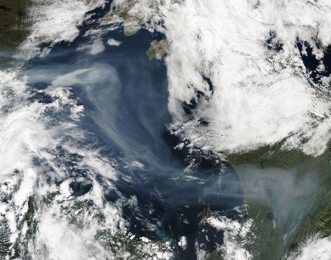
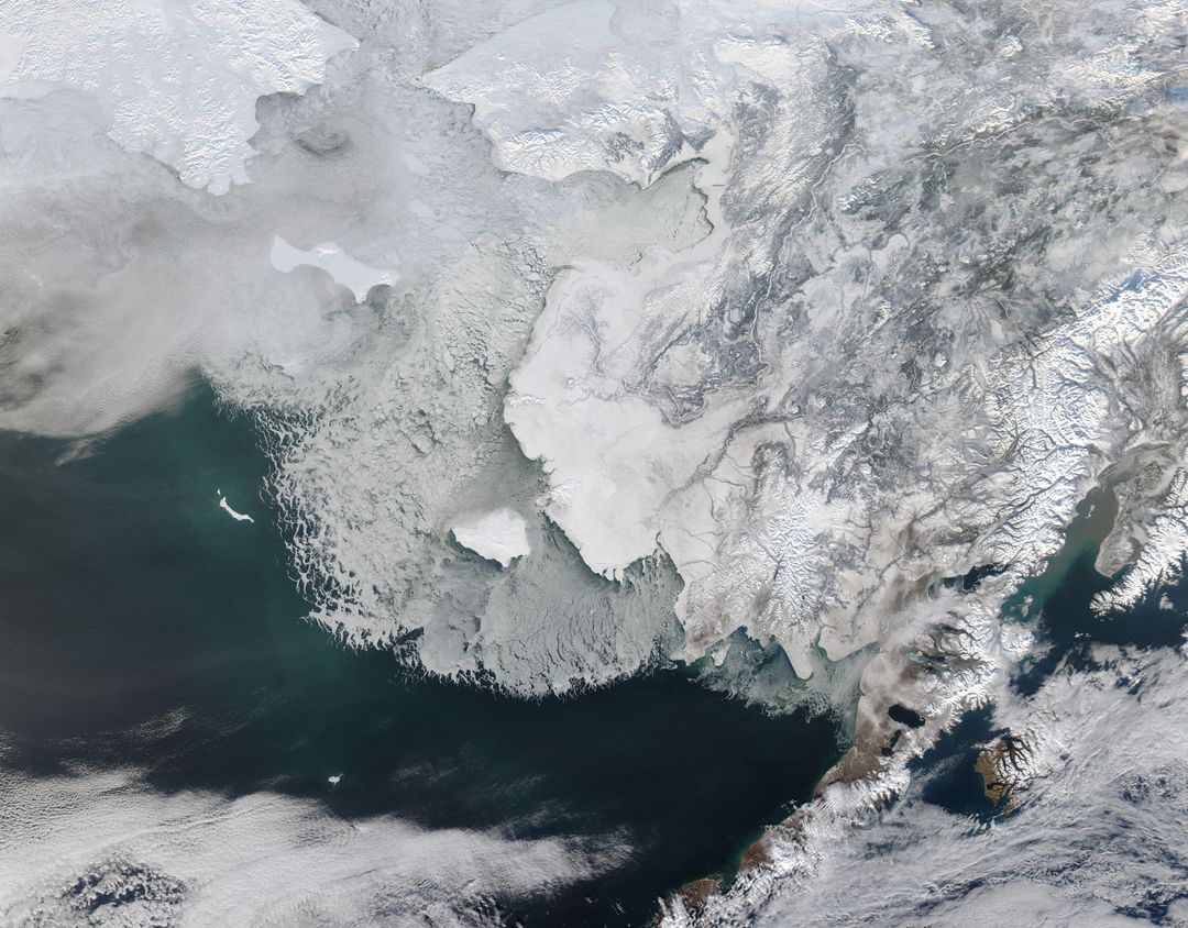
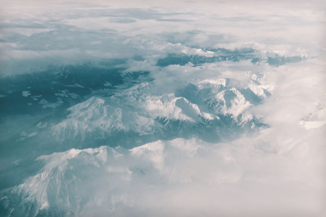
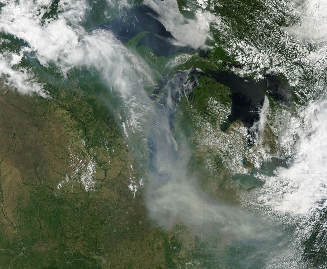
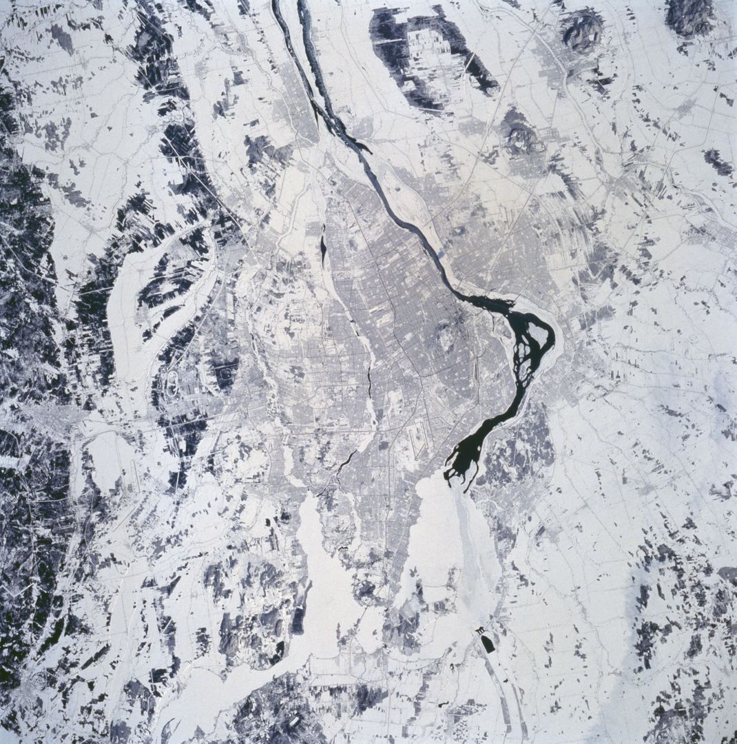
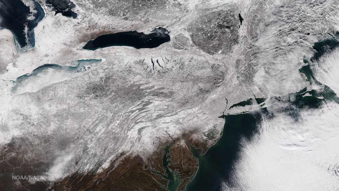
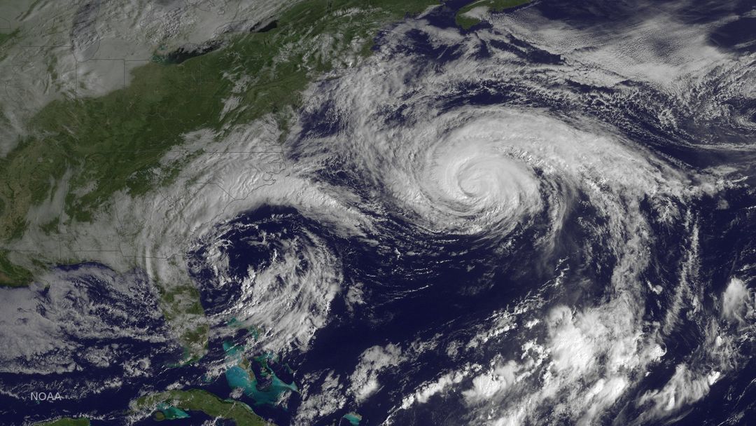
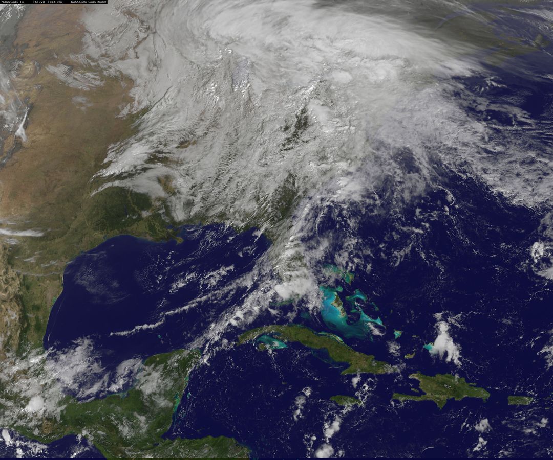
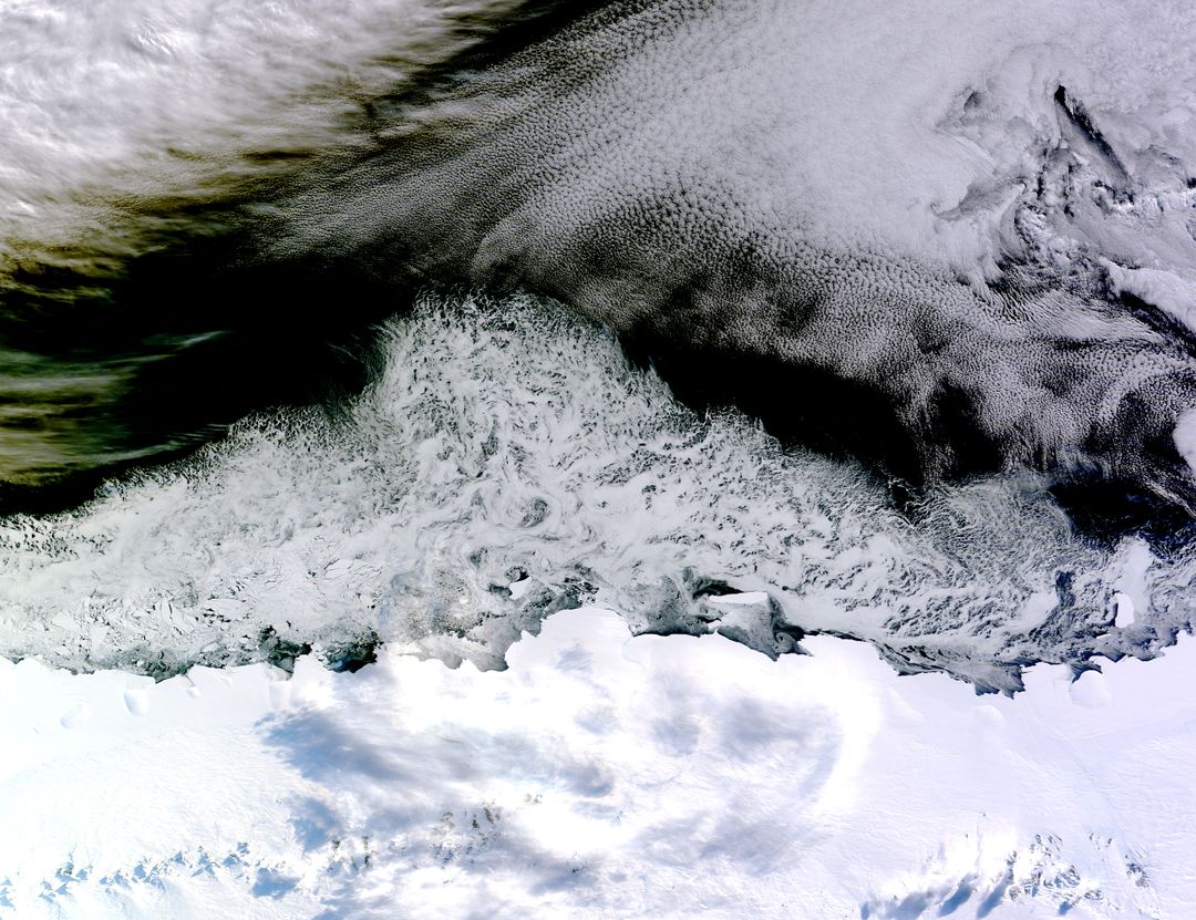
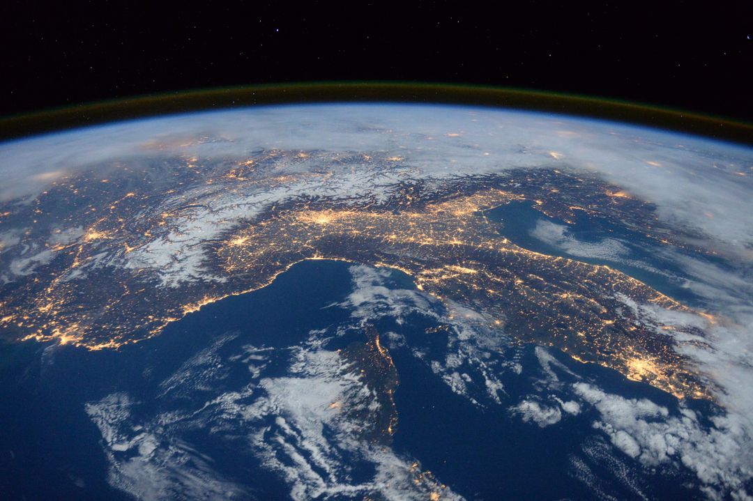
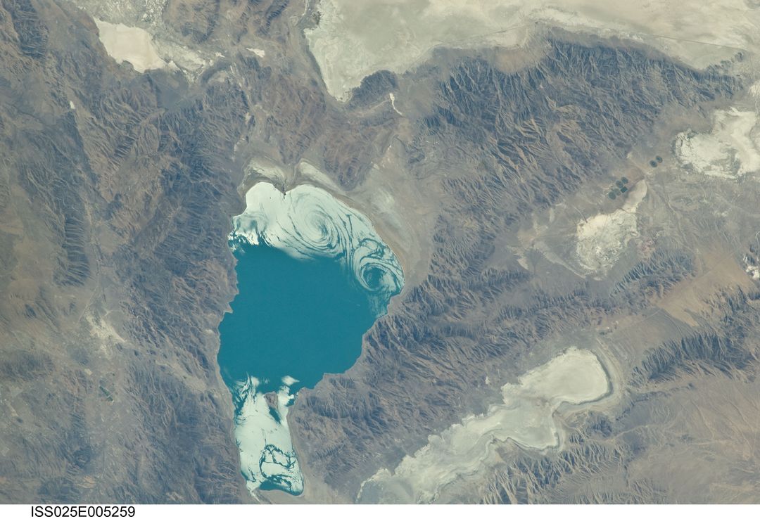
This image from February 28, 2014, captured by NASA’s Aqua satellite, shows a snow-covered landscape across the northeastern United States. Snow is stretching from Maine to Indiana and along the Appalachian Mountains into West Virginia. The Great Lakes are nearly entirely covered with ice. The snow and ice present make it an excellent visual for discussions about regional climate patterns, meteorological observations, and seasonal changes. Ideal for educational content, environmental research, and climate change analysis.
Powered by  - Get 15% off with code: PIKWIZARD15


Credit Photo
If you would like to credit the Photo, here are some ways you can do so
Text Link
photo Link
<span class="text-link">
<span>
<a target="_blank" href=https://pikwizard.com/photo/snow-covered-northeastern-united-states-from-space-on-last-day-of-meteorological-winter-2014/b6017aaab1b152eecaa99f9435bddd9e/>PikWizard</a>
</span>
</span>
<span class="image-link">
<span
style="margin: 0 0 20px 0; display: inline-block; vertical-align: middle; width: 100%;"
>
<a
target="_blank"
href="https://pikwizard.com/photo/snow-covered-northeastern-united-states-from-space-on-last-day-of-meteorological-winter-2014/b6017aaab1b152eecaa99f9435bddd9e/"
style="text-decoration: none; font-size: 10px; margin: 0;"
>
<img src="https://pikwizard.com/pw/medium/b6017aaab1b152eecaa99f9435bddd9e.jpg" style="margin: 0; width: 100%;" alt="" />
<p style="font-size: 12px; margin: 0;">PikWizard</p>
</a>
</span>
</span>
CC0 (Creative Commons Zero)
Free for personal and commercial use.
Similar Free Stock Images
Premium
Premium


Premium

Premium

Premium

Premium

Premium

Premium

Premium

Premium

Premium

Premium


Premium


Premium

Premium

Premium

Premium

Premium

Premium

Premium

Premium

Premium

Premium

Premium


Premium