- Home >
- Stock Photos >
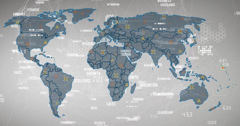
- Stereoscopic Relief Topography of Africa and Surrounding Regions
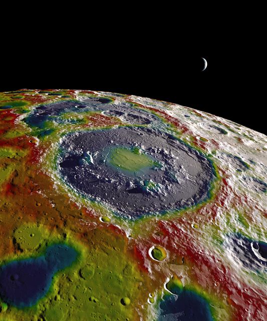
Stereoscopic Relief Topography of Africa and Surrounding Regions Image
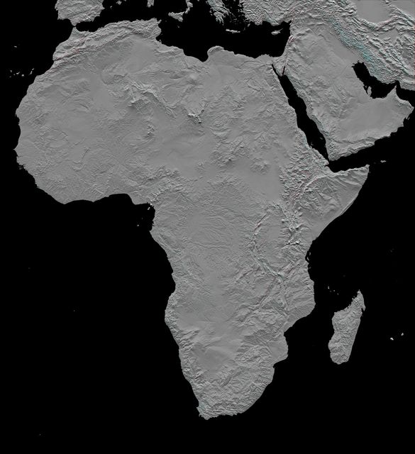
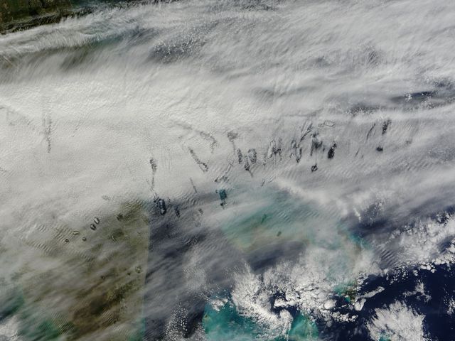
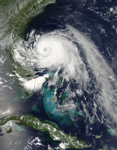
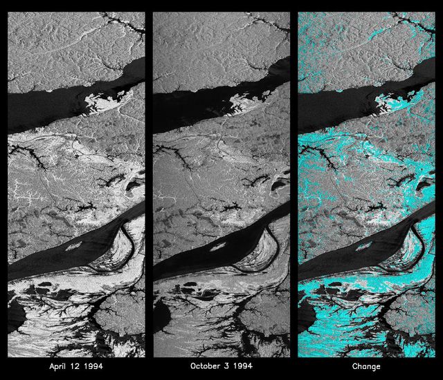
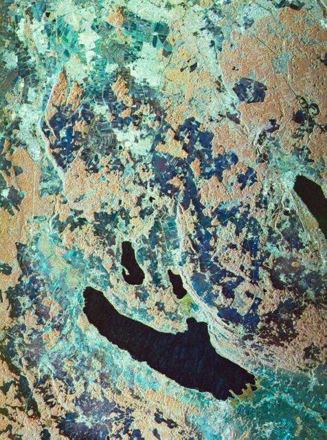
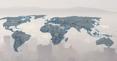
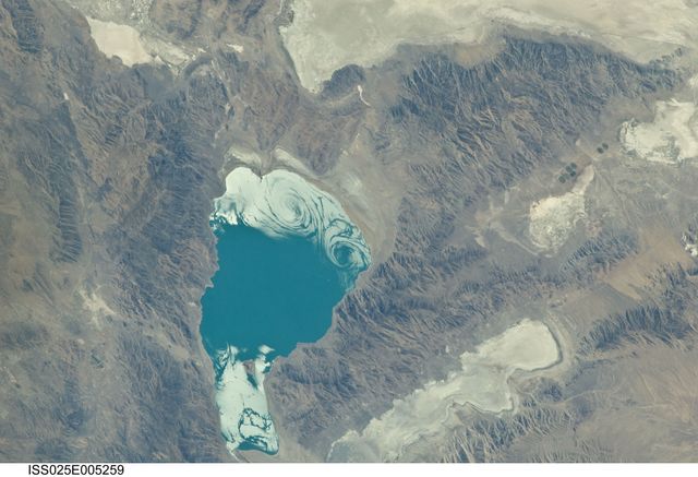
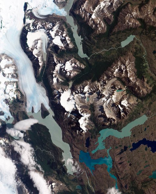
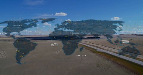
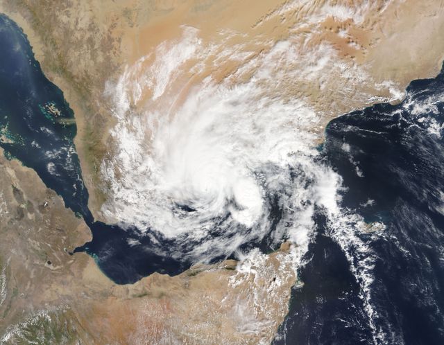
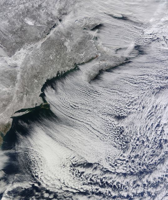
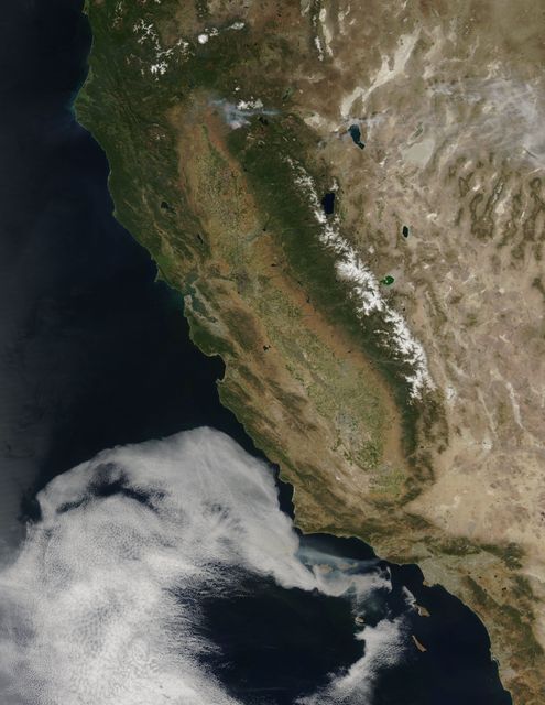
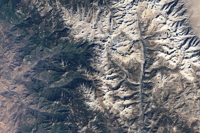
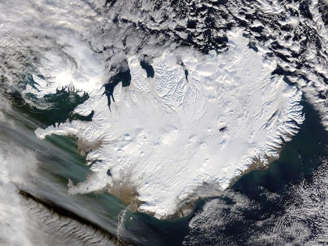
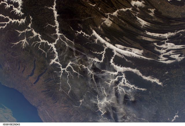
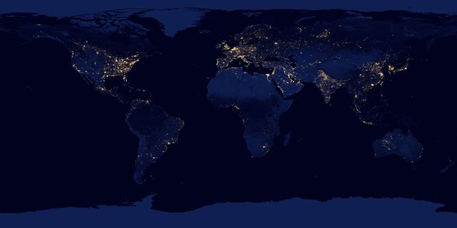
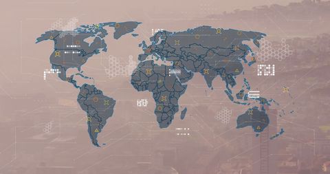
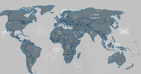
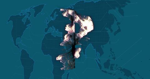
This detailed stereoscopic relief topography of Africa, derived from NASA's Shuttle Radar Topography Mission, presents the continent's geographic features in 3D. Suitable for educational materials, research presentations, and geographic studies. Requires 3D glasses for the full effect.
Powered by 


Credit Photo
If you would like to credit the Photo, here are some ways you can do so
Text Link
photo Link
<span class="text-link">
<span>
<a target="_blank" href=https://pikwizard.com/photo/stereoscopic-relief-topography-of-africa-and-surrounding-regions/57adf73dee520449ae37c26dda48a908/>PikWizard</a>
</span>
</span>
<span class="image-link">
<span
style="margin: 0 0 20px 0; display: inline-block; vertical-align: middle; width: 100%;"
>
<a
target="_blank"
href="https://pikwizard.com/photo/stereoscopic-relief-topography-of-africa-and-surrounding-regions/57adf73dee520449ae37c26dda48a908/"
style="text-decoration: none; font-size: 10px; margin: 0;"
>
<img src="https://pikwizard.com/pw/medium/57adf73dee520449ae37c26dda48a908.jpg" style="margin: 0; width: 100%;" alt="" />
<p style="font-size: 12px; margin: 0;">PikWizard</p>
</a>
</span>
</span>
CC0 (Creative Commons Zero)
Free for personal and commercial use.
Similar Free Stock Images